 Photos & Images
These pages serve as an online repository for photos & images relating to the Quittapahilla watershed & the QWA's past & ongoing work. Still a work in progress, they are envisioned as offering virtual journeys along Quittie Creek and each of its seven main tributaries — photo-essays that explore these waterways today and in their historical & social contexts. These Photos & Images pages also house our archives; a photo-blog of the streambank restoration work undertaken in 2014-15; and photos of the annual Day of Caring in Quittie Creek Nature Park. Most are populated with at least some content.
What remains of this introductory page offers a series of lovely & inspirational photographs of Quittie Creek, most made available to the QWA thanks to the kind courtesy of local photographer Nikki Good. These images offer a welcome reminder of the power & beauty, and the fragility & vulnerability of the natural systems we are working to protect.
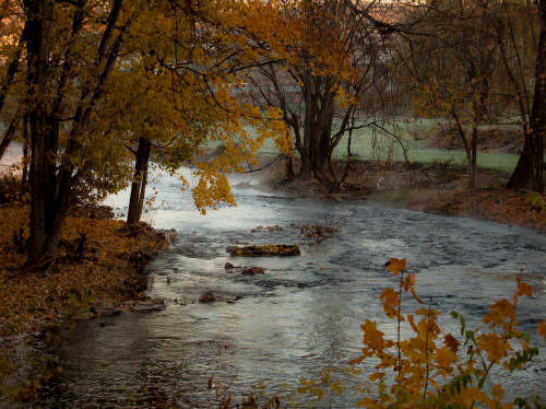
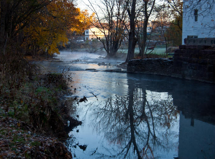
Above: Looking downstream toward the Rt 422 bridge from the Old Mill, west side of Annville, Nov. 2010.
Below: Remnants of the old bridge abutment on Bachman Road at the west entrance to Quittie Creek Nature Park, shadowed in the hours before dusk in summertime by the Raymond Swingholm Pedestrian Bridge, May 2010.

The left (north) bank forms the westernmost part of the Nature Park. The right bank is privately owned. A right-of-way nature & hiking trail along the south bank would permit walkers & hikers to make a big loop on both sides of the creek from Bachman Road to Spruce Street & back again. It is a lovely loop.
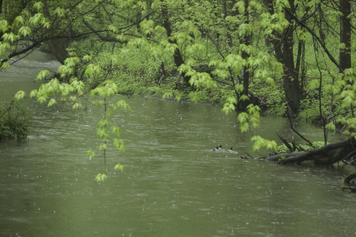
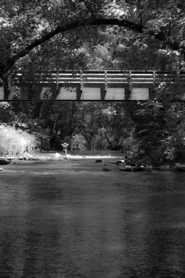
Below: Boys playing in Quittie Creek on an unseasonably warm Saturday in early May 2011 as seen from the Raymond Swingholm Pedestrian Bridge.
.jpg)
.jpg)
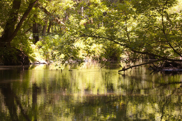
Below: Quittie Creek Nature Park, July 2010.
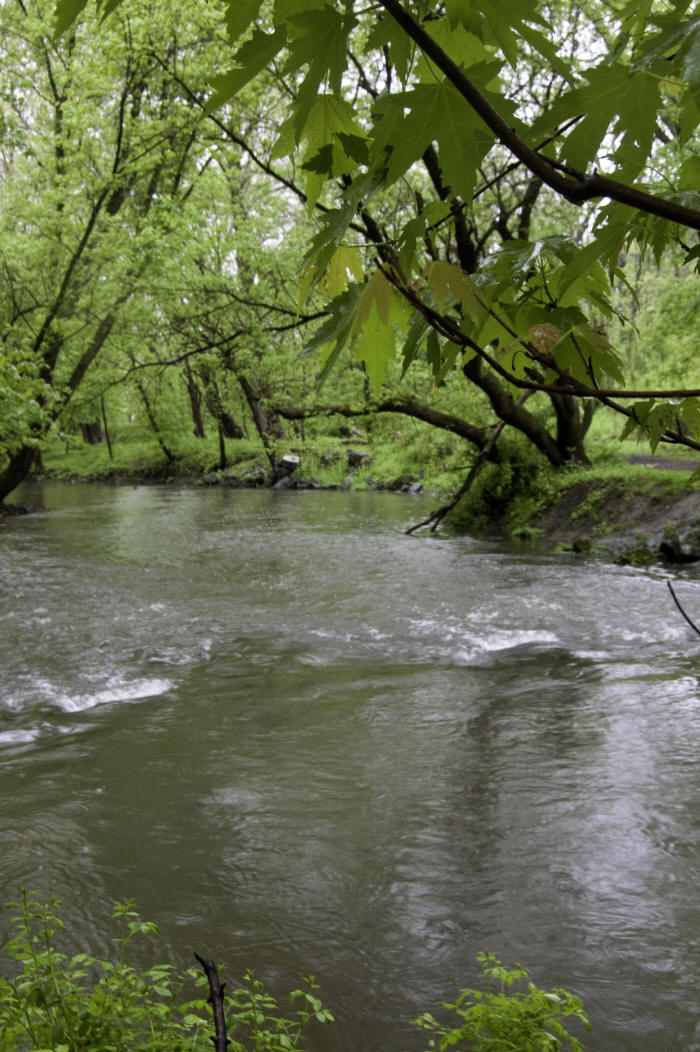
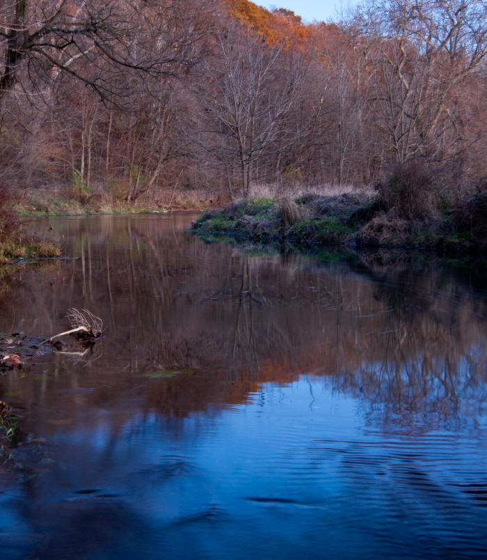
Below: South side of Annville west (downstream) of the Rt 934 bridge, November 2010.
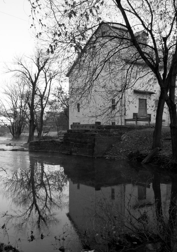
Below: Quittie Creek flows past the Old Mill, west side of Annville, November 2010.
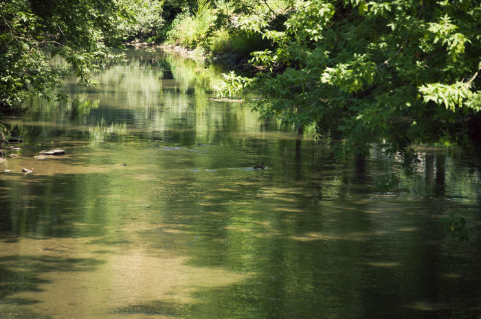
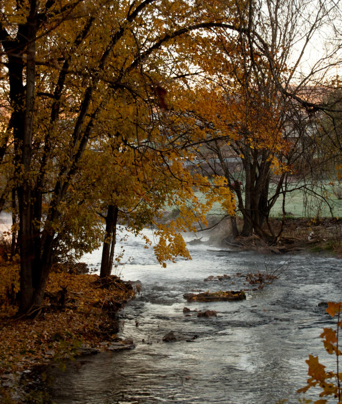
Below: Downstream from the Old Mill looking back upstream, west side of Annville, November 2010.
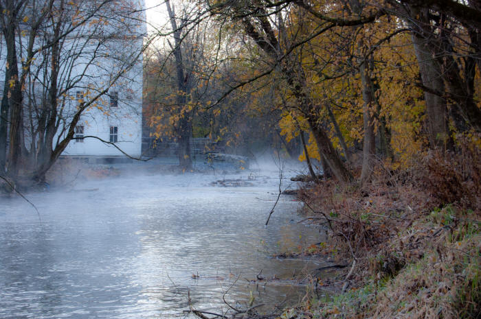
Below: Looking downstream toward the Rt 422 bridge from the Old Mill, west side of Annville, November 2010.
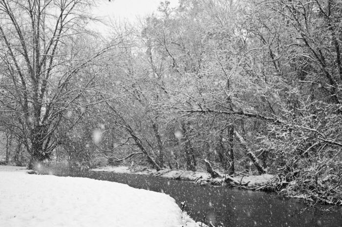
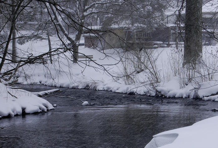
Below: Quittie Creek Nature Park during a rare late October snowstorm, 2011.
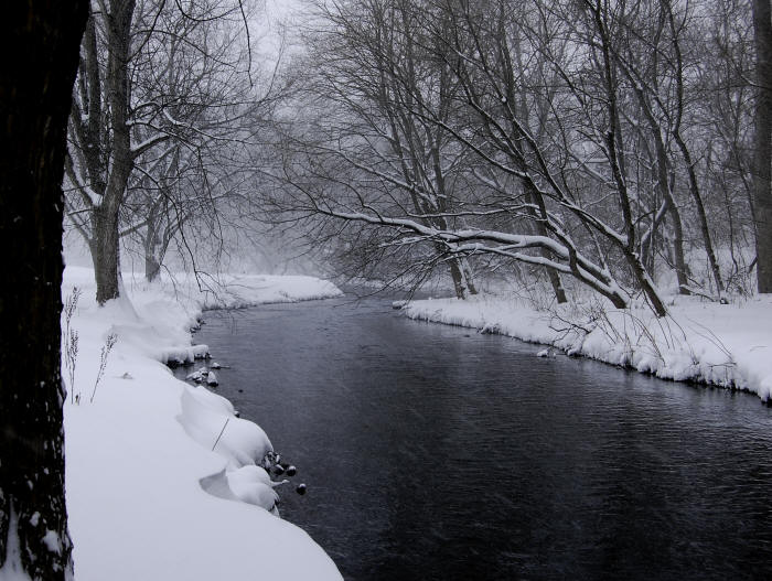
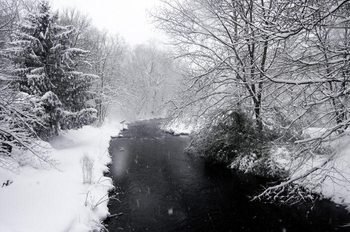
Below: Same snowstorm, further downstream between the Rt. 934 & Rt. 422 bridges in Annville.
Below: Child standing on old concrete ledge in Quittie Creek under the Raymond Swingholm Pedestrian Bridge, July 2010.
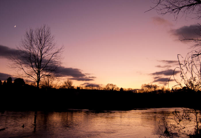
Below: Moonset at dusk on Quittie Creek near its junction with Swatara Creek, November 2010.
Additional photos of Quittapahilla Creek, focusing on streambank erosion, can be found in the December 2006 Findings Report (vol. 1) prepared by Rocky Powell of Clear Creeks Consulting, LLP, housed on the Studies & Documents page of this website.