.jpg) This page
is the home for photos of Quittie Creek that aren't
housed somewhere else on this website. It should be viewed
alongside these other pages & documents:
This page
is the home for photos of Quittie Creek that aren't
housed somewhere else on this website. It should be viewed
alongside these other pages & documents:
• Powell, Findings Report, vol. 1, 2006 (PDF file, 67 MB — 356 photos in a 319 page report on the watershed and part of a larger study housed on the Studies & Documents page)
Here we simplify Powell's sectioning of the creek into 51 "reaches" (Appendix, 2006), reducing it to four main sections, as seen in the modified Google satellite map below (© Google 2013).
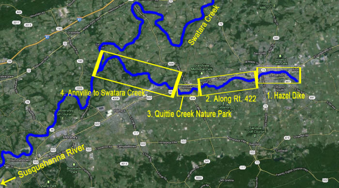
Sections 1 & 3 are the subject of other pages of this website. We begin below with Section 2 — from the end of the Hazel Dike in west Lebanon to just upstream from Quittie Creek Nature Park in Annville, running just south of the intensively traveled commercial district along Route 422. For hundreds of photographs of this & other sections (taken in 2003), see Powell, vols. 1 & 2 (2006).
Section 2: Paralleling Route 422 from the Hazel Dike to Annville
Back in 2003, Rocky Powell's Clear Creeks Consulting did a marvelous job photographing streambank erosion, debris piles, and related problems along this section of the Quittie (Powell, vol. 1, 2006). Below we present a series of photographs from 2010-2013 that show that not a whole lot has changed, and that in many ways the problems have gotten worse.
Below: Just downstream from the Hazel Dike, June 2013.
.jpg)
Below: Just downstream from the Hazel Dike, with the CVS Pharmacy on West Cumberland St. in the background, June 2013.
.jpg)
Below: Fallen oversize tree trunk blocks the creek behind the Wendy's on West Cumberland St, May 2010. The flood caused by Tropical Storm Lee in September 2011 only rearranged this blockage, making it even worse. By spring 2013, a group of youth volunteers had cleared out all the fallen logs.
.jpg)
Below: A bit further downstream, another collection of fallen tree trunks blocks the creek, causing a massive pileup of plastic trash debris, May 2010.
.jpg)
Below: From the south bank looking north across the creek to the rear of the commerical strip along West Cumberland Street, June 2013. Note the excessive growth of algae along the bank, and behind it, the silt-covered debris. Plastic trash saturates the area, while a cluster of mallards paddle in the foreground.
.jpg)
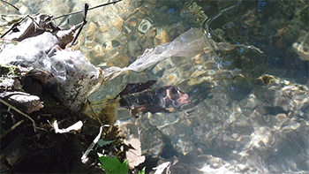
Below: Looking through the water to a silt-covered discarded chair, just downstream from the Hazel Dike, June 2013.
.jpg)
Below: Residential & commercial section on the Quittie's north bank just downstream from the Hazel Dike, June 2013. Note the eroding banks, with the grass mown right to the edge.
.jpg)
Below: Same area, pivoting to the right (upstream) toward the CVS Pharmacy and the back parking lot of American Countertop Experts, which comes right to the bank's edge, June 2013.
.jpg)
Below: Stormwater drain coming straight from West Cumberland Street, June 2013. There are no filters or catchment mechanisms — rainstorms wash all the trash & debris in the street straight into the creek.
.jpg)
Below: Painted, skewered & American flag-bedecked plastic human skeleton hanging from the branch of a tree in the backyard of a home along the creek's north bank, just downstream from the Hazel Dike, with the American Countertop Experts parking lot in the distance, June 2013.
.jpg)
Section 4: Past Annville to Swatara Creek
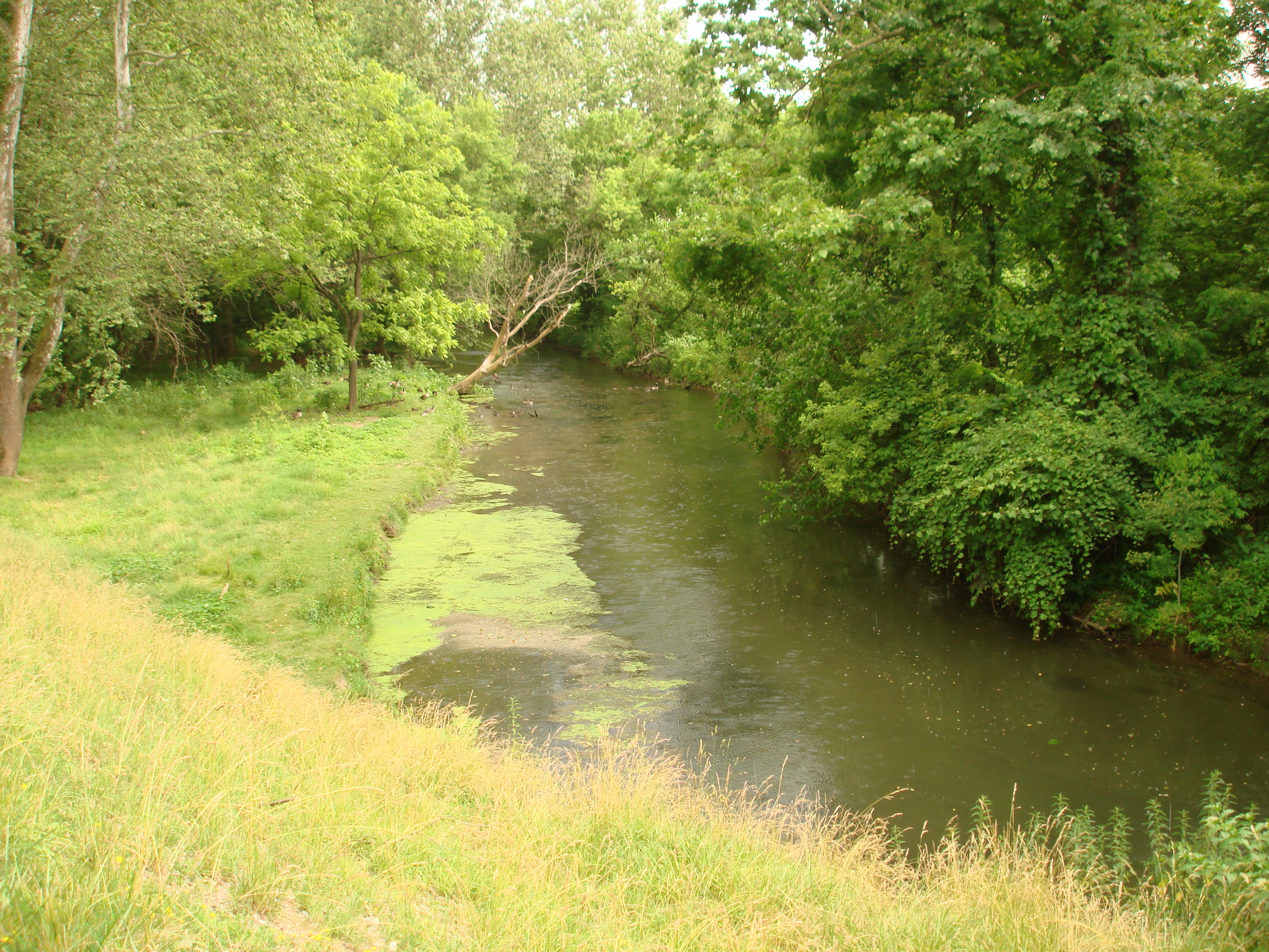
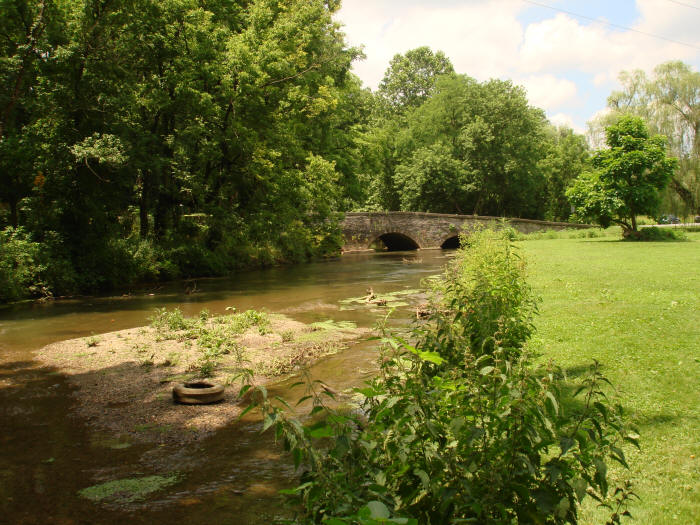
Below: Quittie Creek at Clear Springs Road, looking upstream, June 2013. Note the masses of floating vegetation on the left (north bank), the result of excessive nutrients in the creek from agricultural runoff.
Below: Quittie Creek at Clear Springs Road bridge, looking downstream.
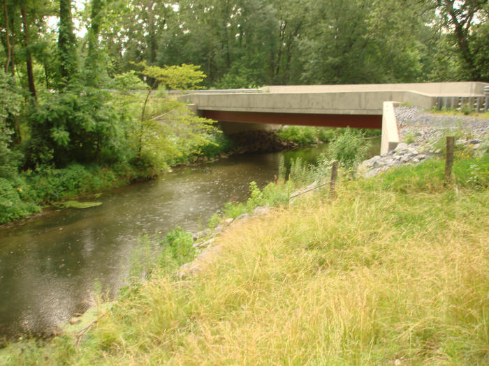
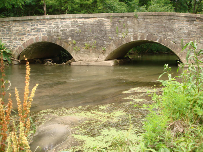
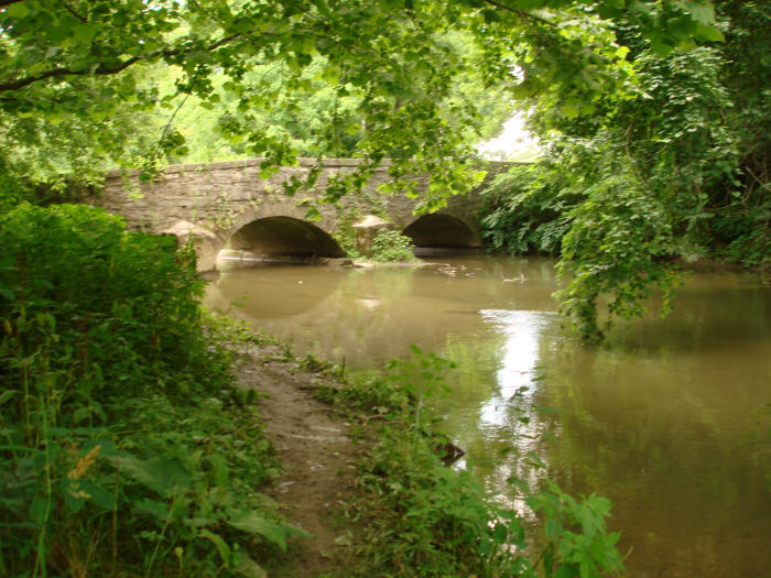
Below: Quittie Creek flowing under the Syner Road bridge north of Route 422, June 2013.
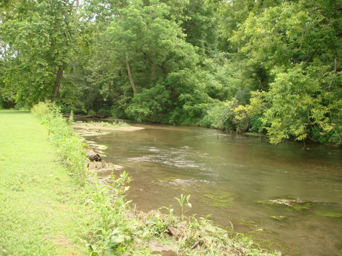
Below: Just upstream from the Syner Road bridge, with the backyard of a privately owned home on the left. Note the poor bank management practices, with the homeowner mowing right up to the edge of the actively eroding bank.
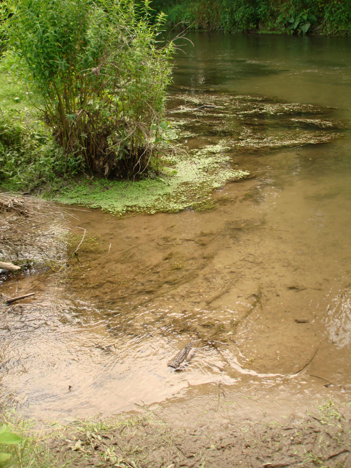
Below: On the north bank just upstream from Syner Road, showing active streambank erosion & excessive silt, mud & plant growth.
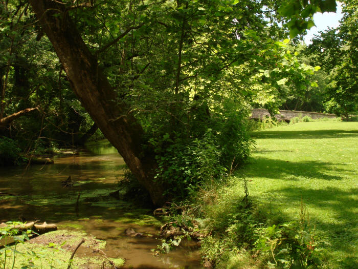
Below: On the north bank just upstream from Syner Road bridge, June 2013.
Below: Just downstream from Syner Road bridge looking back upstream from the north bank, June 2013. Note the excessively silty & muddy water.
This page is in progress.