Brandywine Creek
Where can I find it? Brandywine Creek meets Quittapahilla Creek in Lebanon just south of Rt. 422 just east of 16th St., as shown in the Google Map below:
View Brandywine Creek Mouth in a larger map
Brandywine Creek originates just northeast of Stoever's Dam Lake in Stoever's Dam Park in Lebanon. The most urbanized & contaminated of the Quittie's main tributaries, the Brandywine flows southwest past Mount Lebanon Cemetary, Northwest Elementary School, and a number of residential, commercial & industrial neighborhoods.
Drainage Area: 3.46 square miles
Stream Length: 1.7 miles (point-to-point)
Elevation at Origin: 551.2 ft.
Elevation at End: 456 ft.
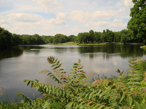
Above: Brandywine Creek becomes Stoever's Lake at Stoever's Dam in northeast Lebanon PA. Photo by Michael Schroeder for the QWA, June 2013.
For a photographic journey down Brandywine Creek, and for photos of the other waterways comprising the Quittapahilla watershed, see the Photos & Images pages.