


This is Page 2 on the Quittie Creek Streambank Restoration Project in Annville PA, with photos & descriptions of work performed from early January 2015 to the end of Phase 1 on February 19, 2015.
Background information on this long-awaited project can be found on the "Projects & Grants" page. Detailed maps of virtually every foot of the project can be found on the "Studies & Documents" page, in particular the "Design Report" and the "Maps" listed under May 2012.
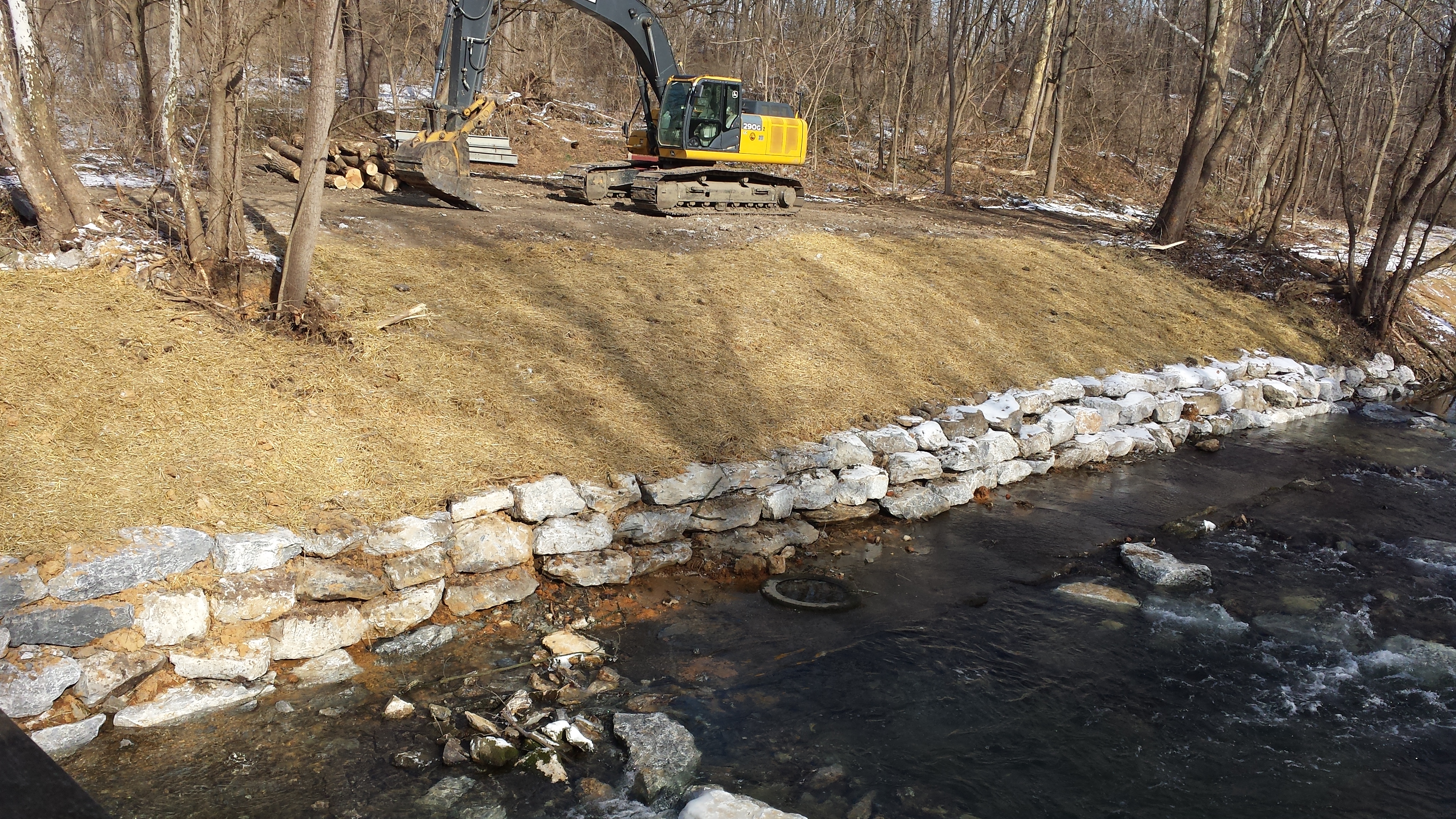
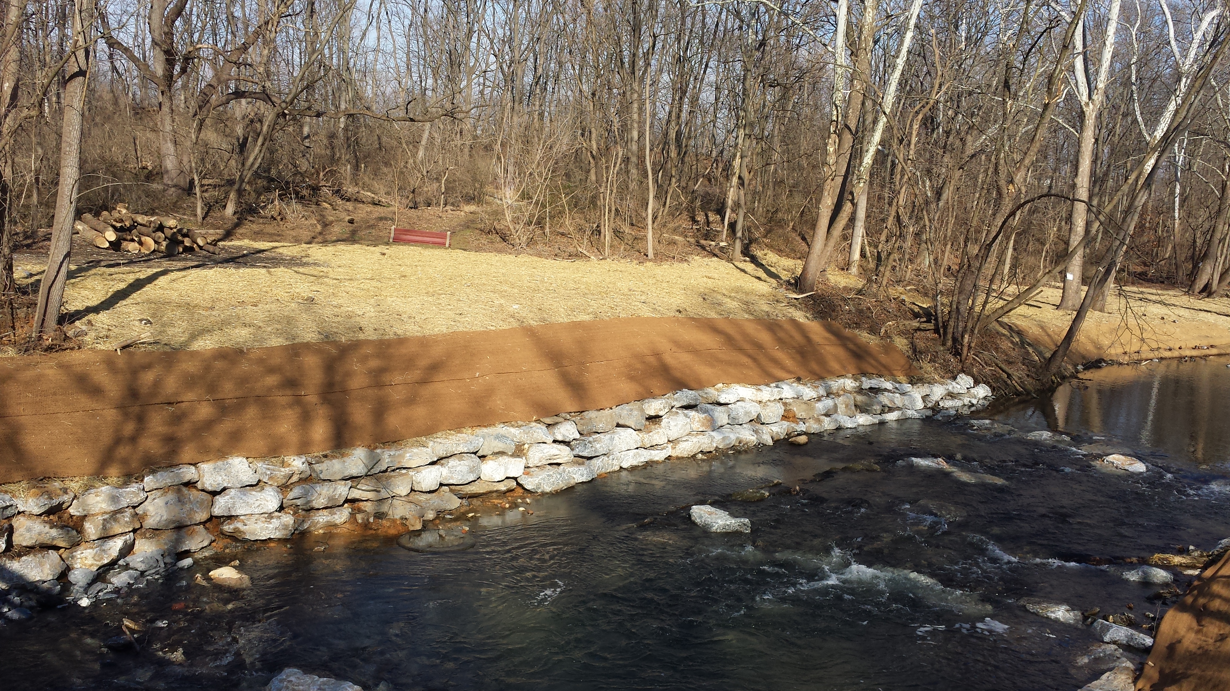
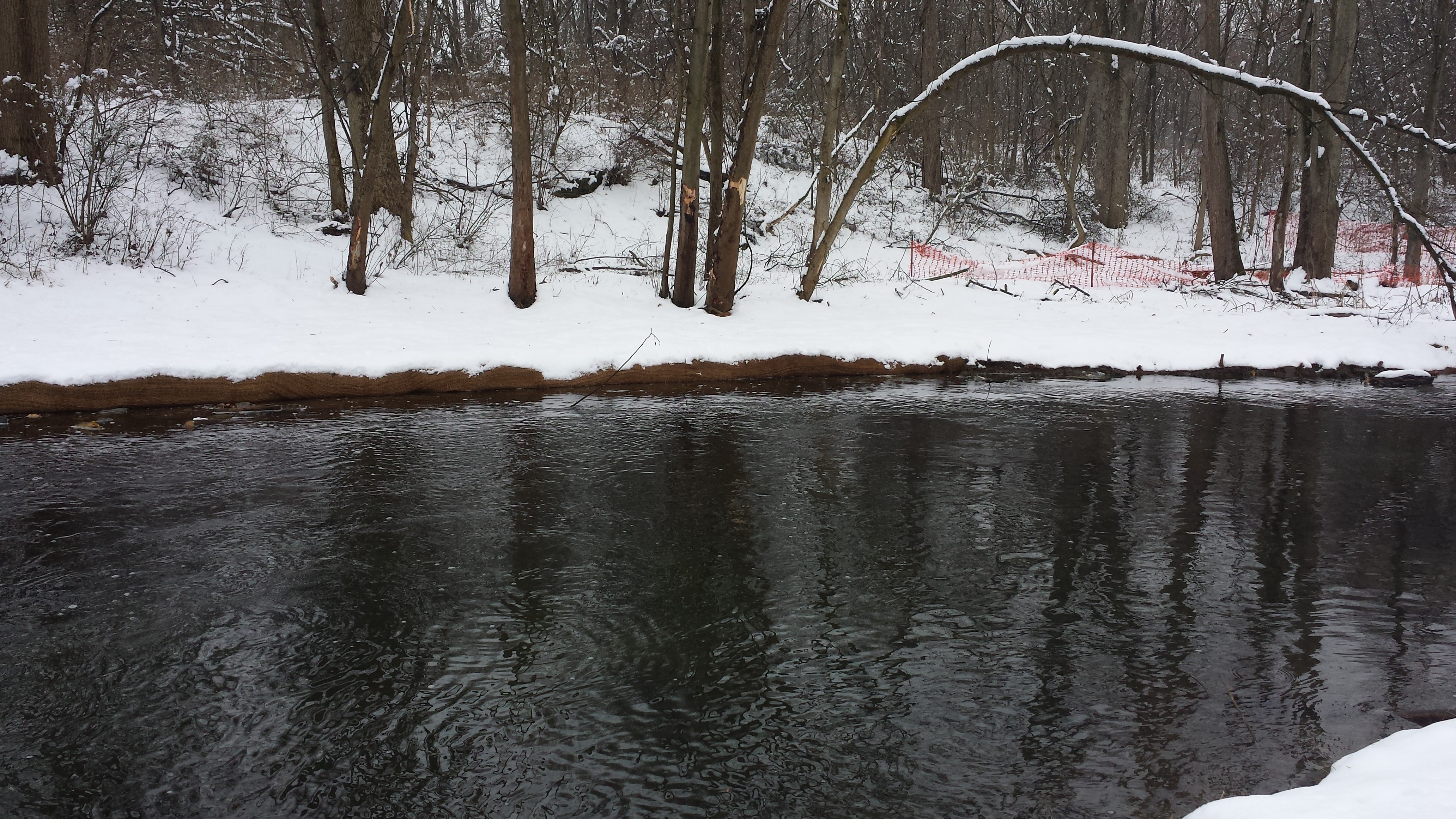
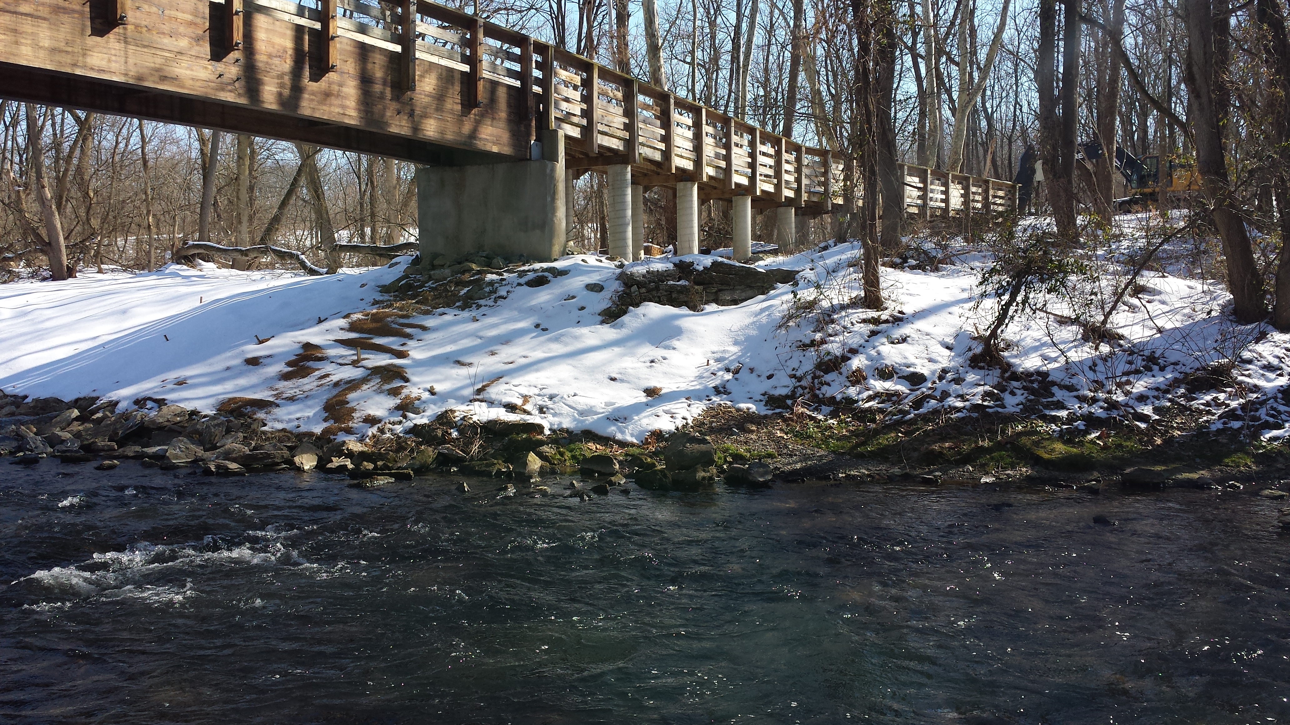
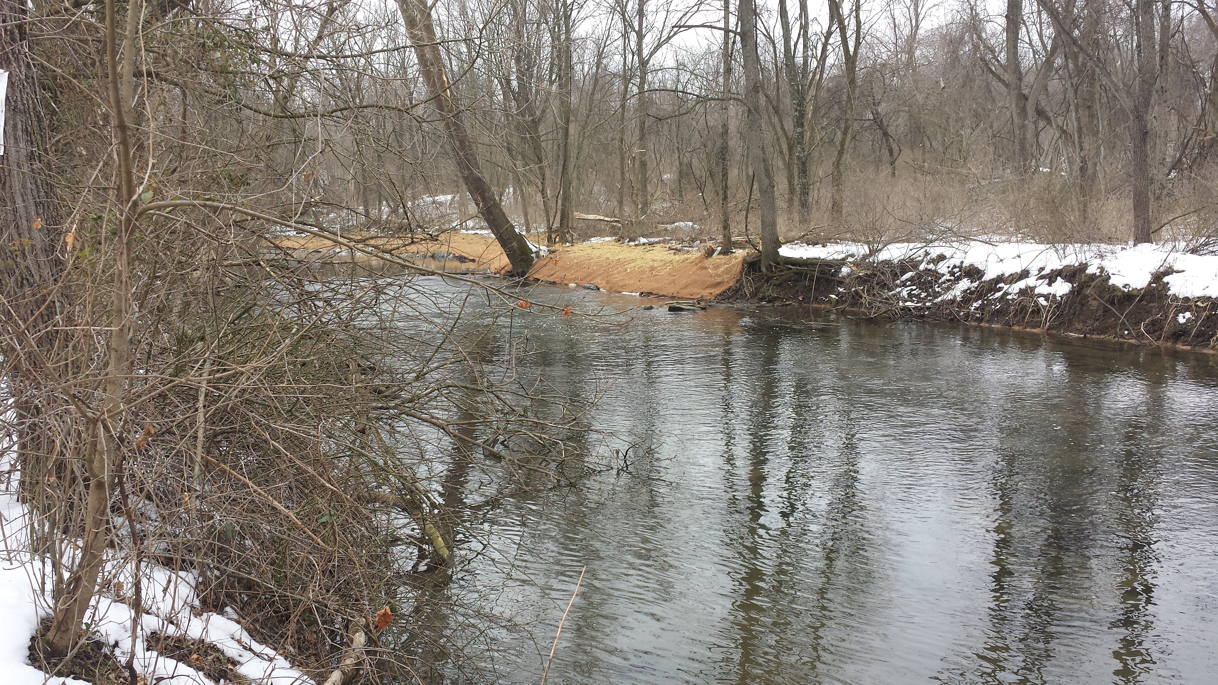
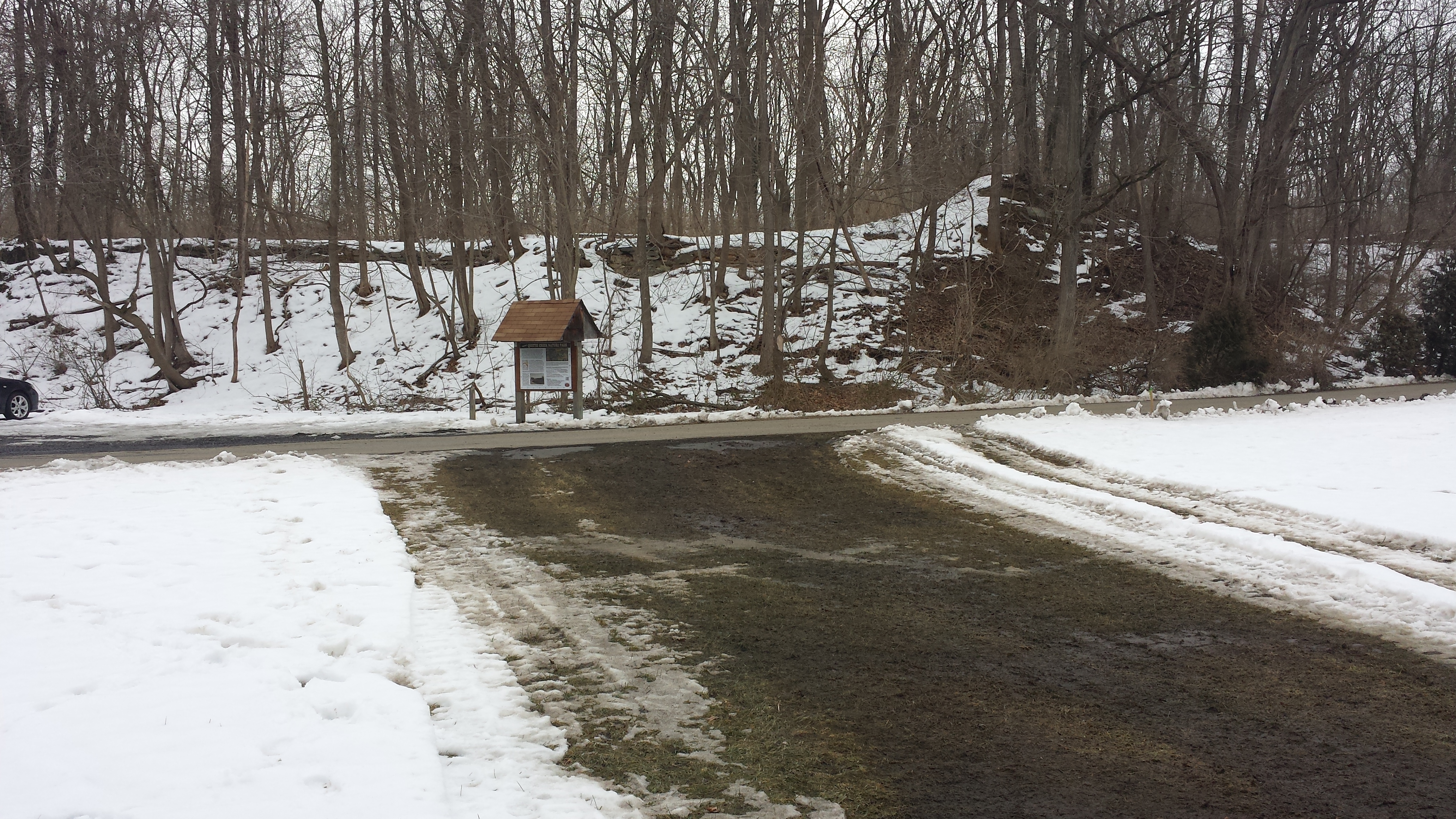
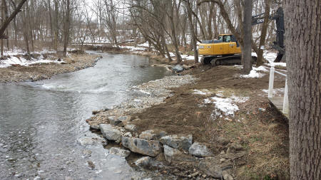
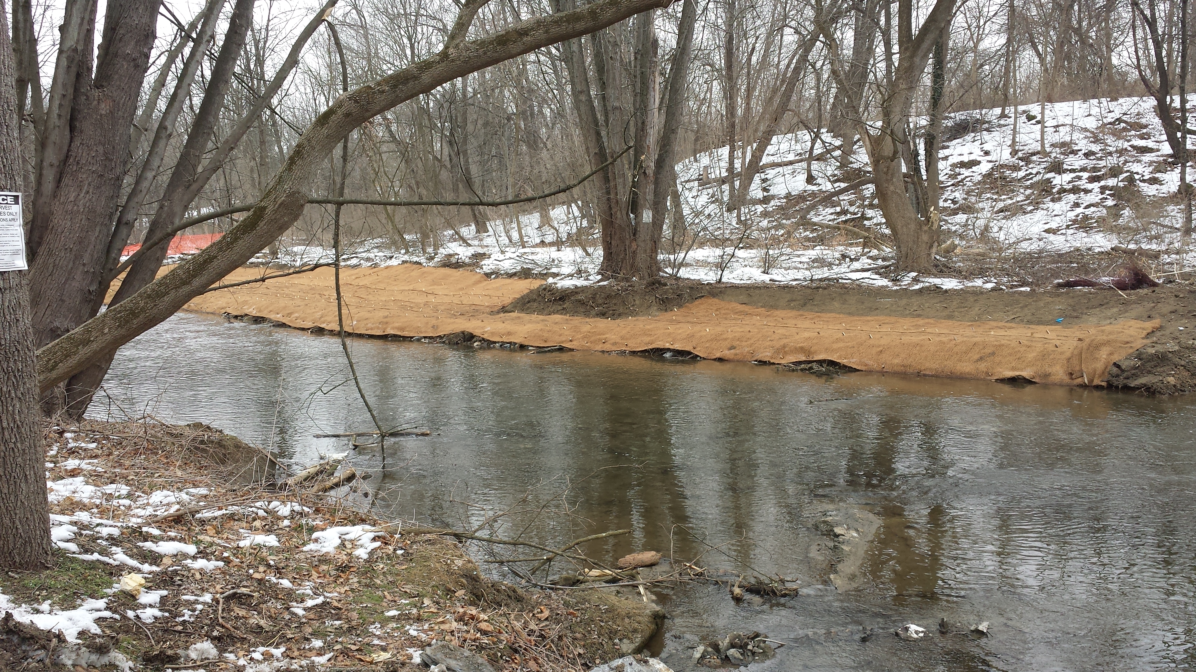
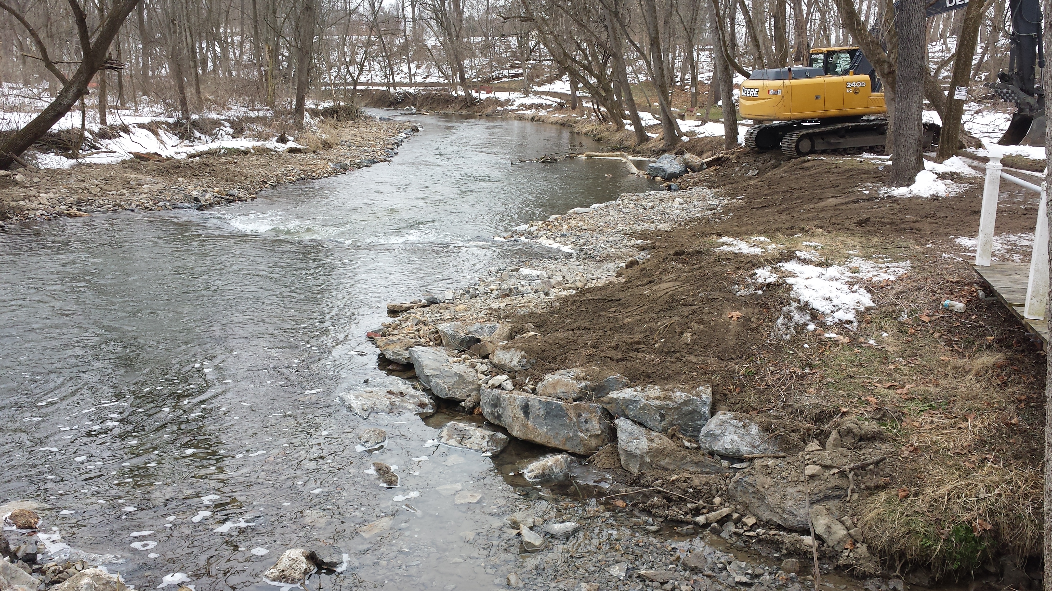
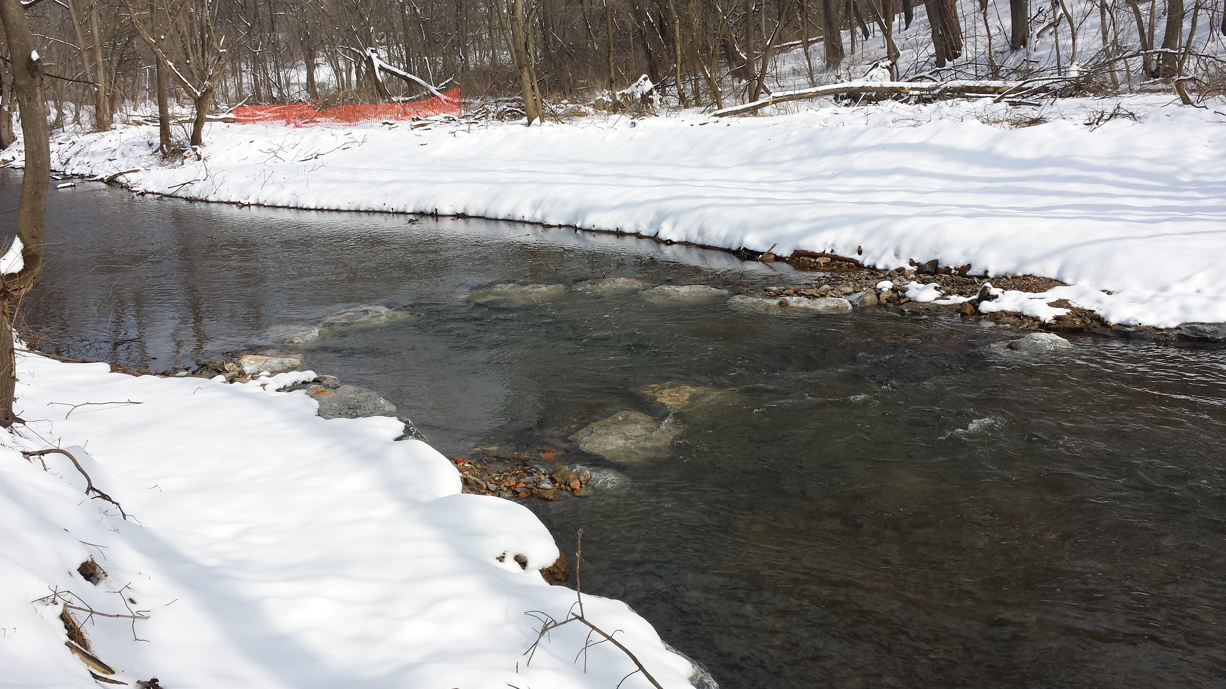
Week 9: January 5-9, 2015
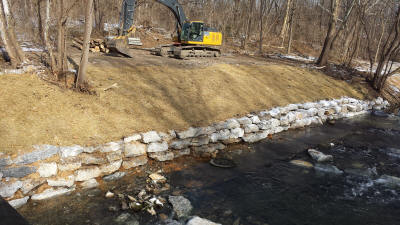 Frigid temperatures kept progress to a minimum this week,
though Lee Irwin's crew continues to move the
project forward. As seen at right & in the
photos below (taken Sunday, January 11), the stone
wall on the north bank has been built (replacing the
vertical poured concrete wall, which has been
removed), and the restoration is
continuing downstream of the Pedestrian Bridge.
Trees have been cleared & pathways made on the north
bank, where work will continue in the coming weeks.
Frigid temperatures kept progress to a minimum this week,
though Lee Irwin's crew continues to move the
project forward. As seen at right & in the
photos below (taken Sunday, January 11), the stone
wall on the north bank has been built (replacing the
vertical poured concrete wall, which has been
removed), and the restoration is
continuing downstream of the Pedestrian Bridge.
Trees have been cleared & pathways made on the north
bank, where work will continue in the coming weeks.
.
.
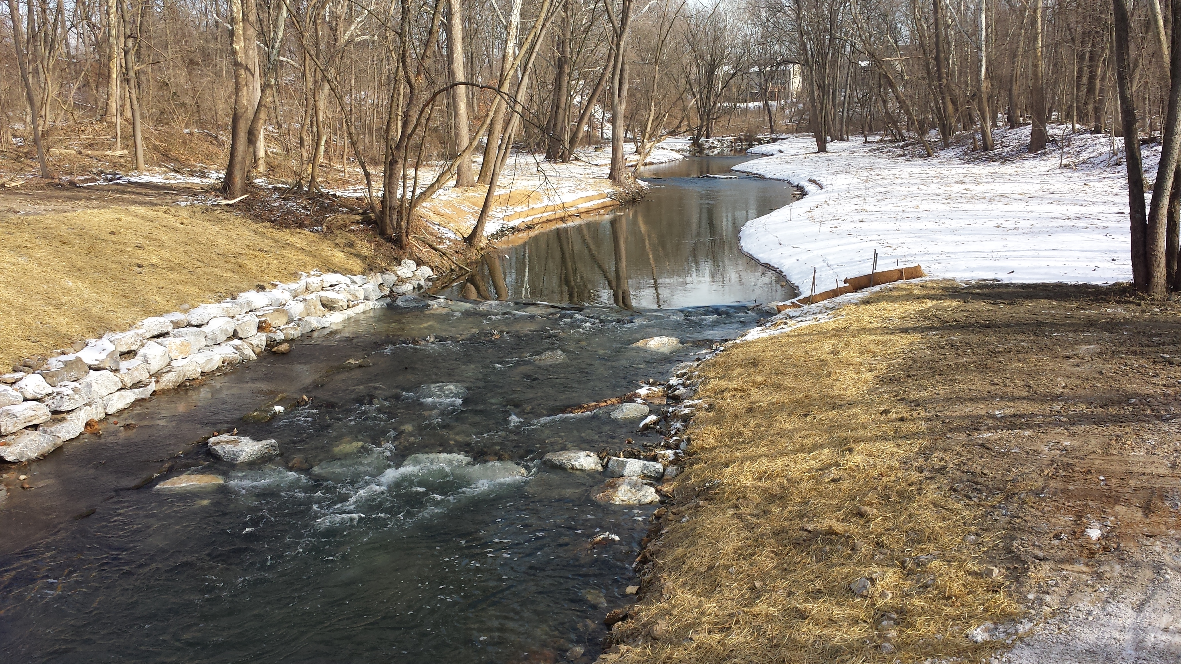
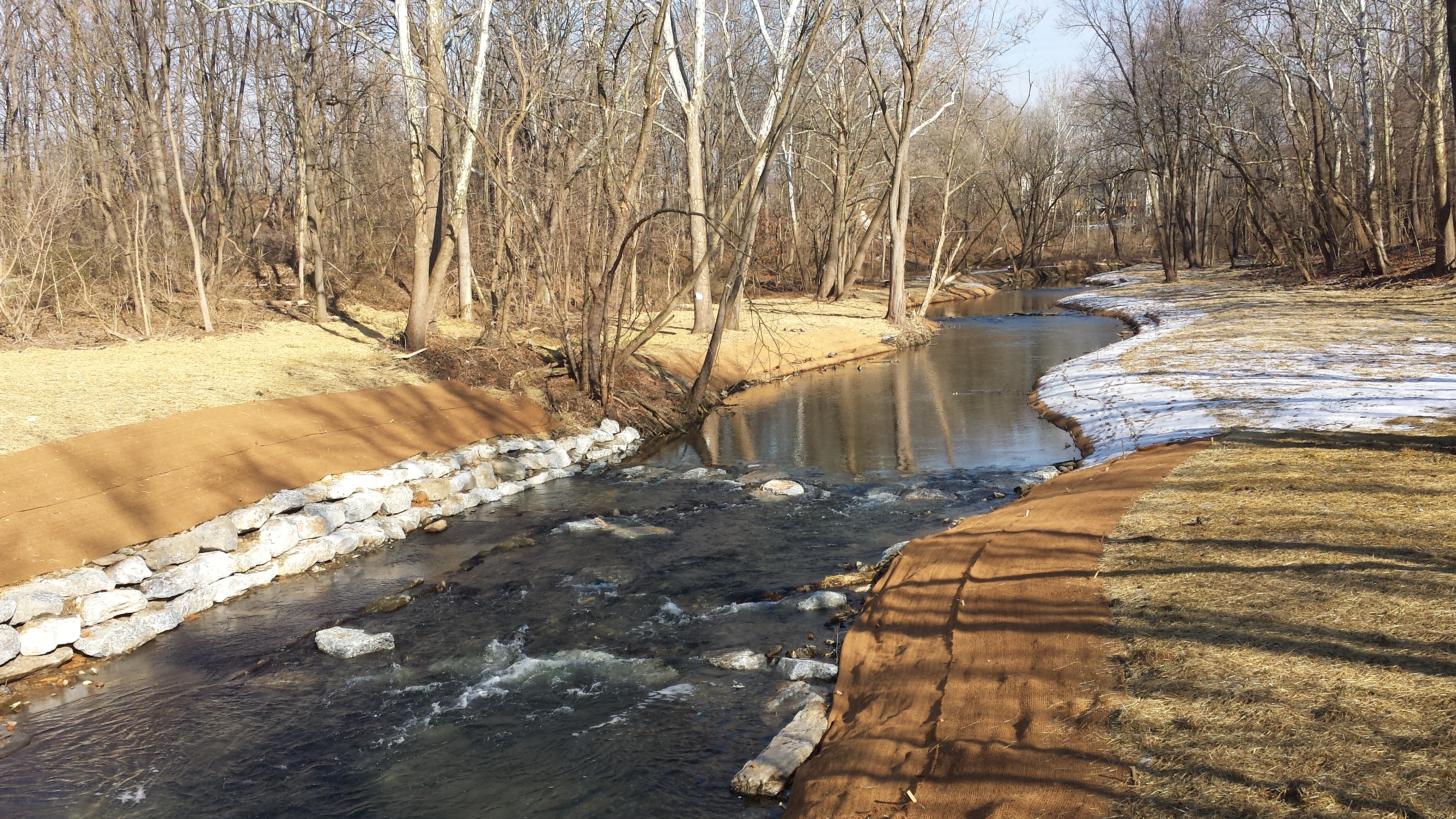
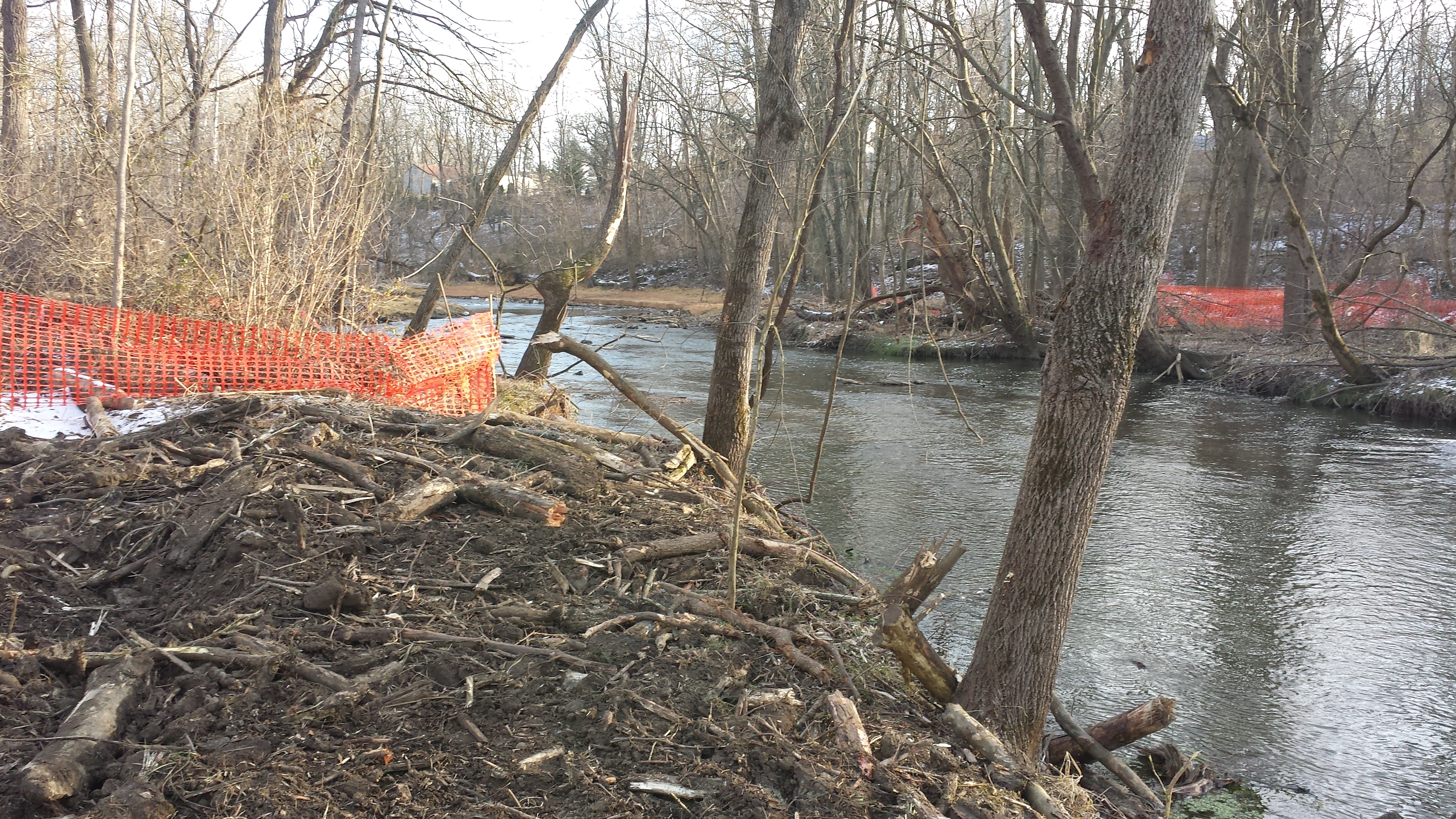
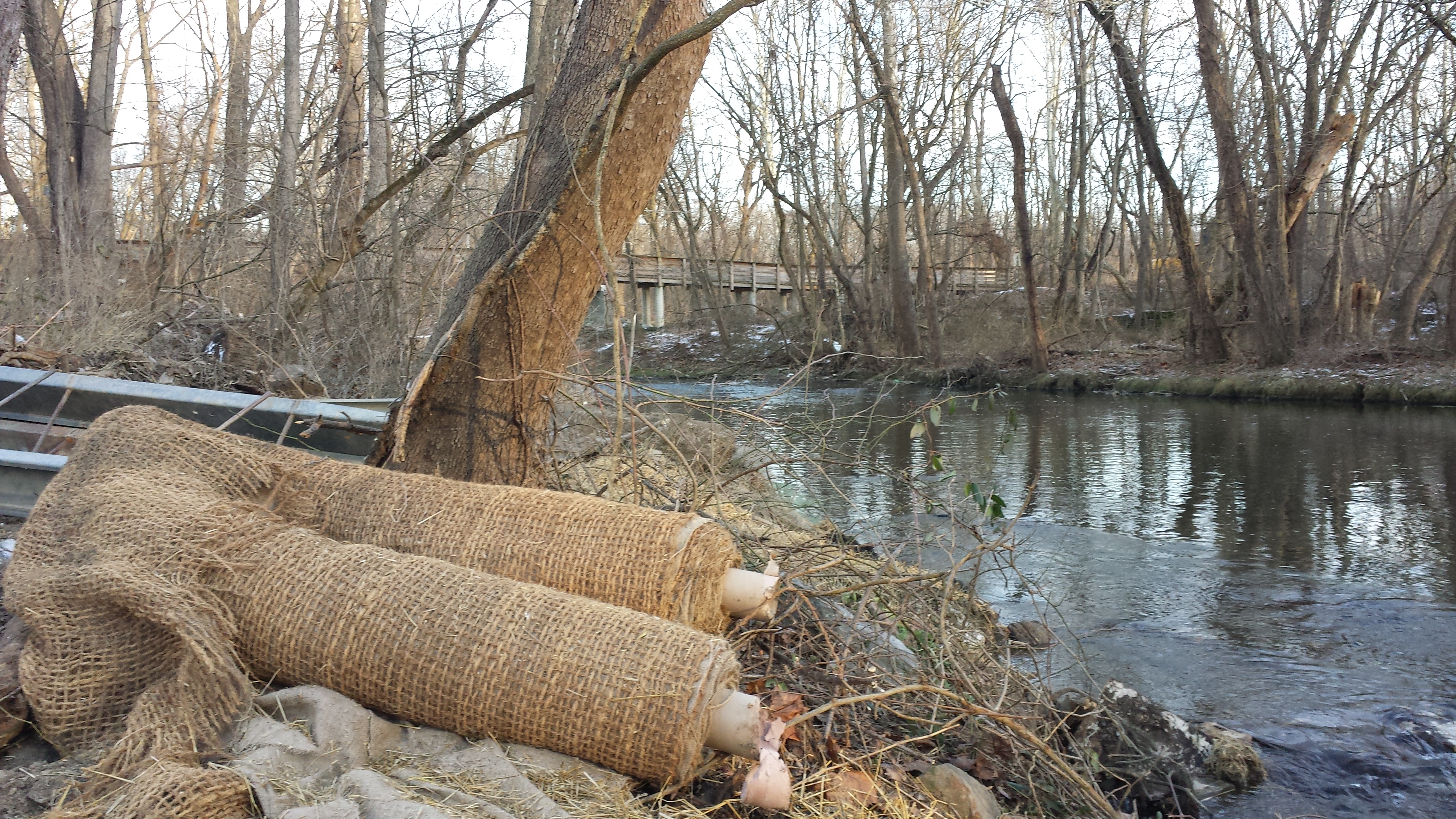
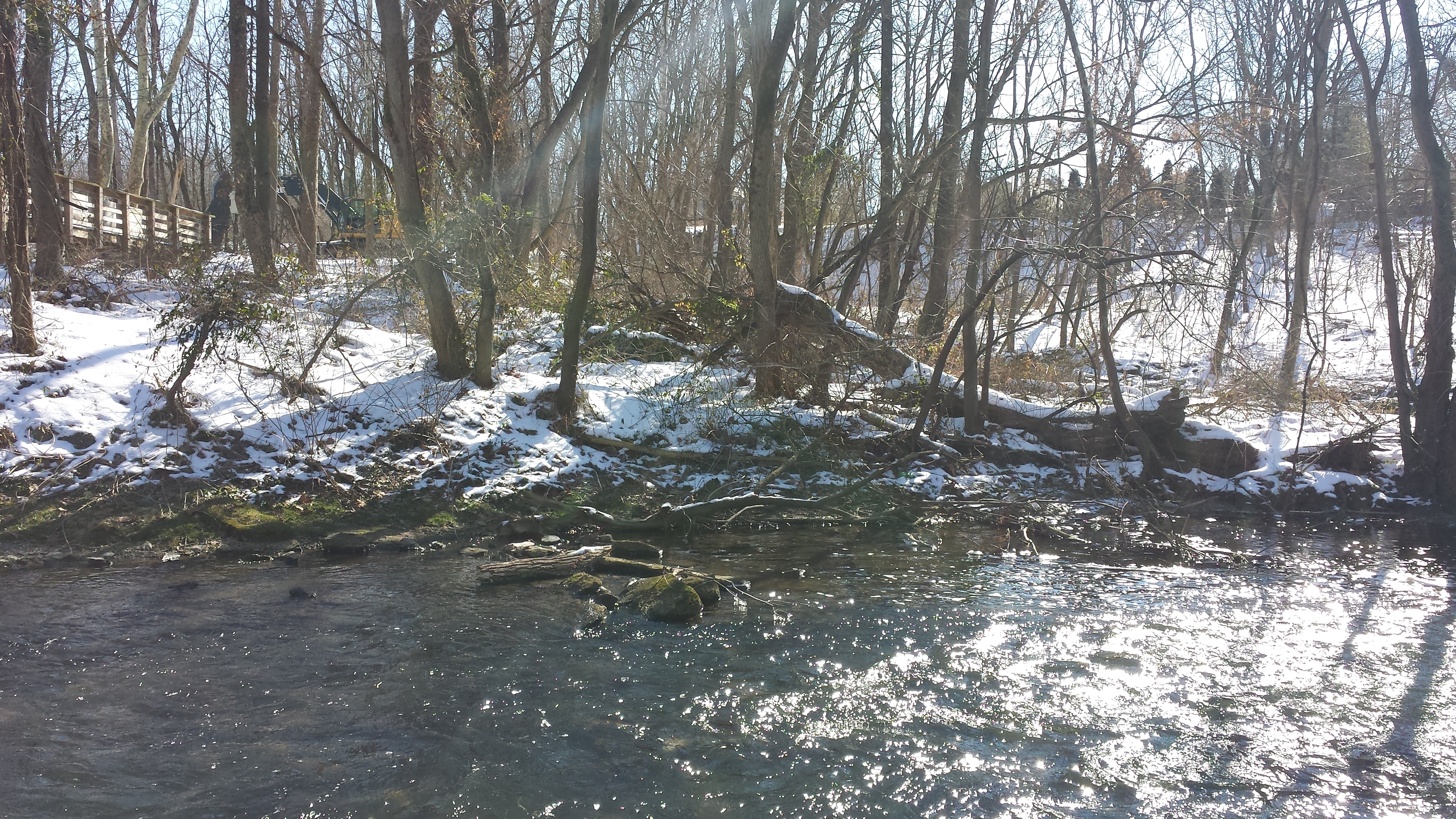
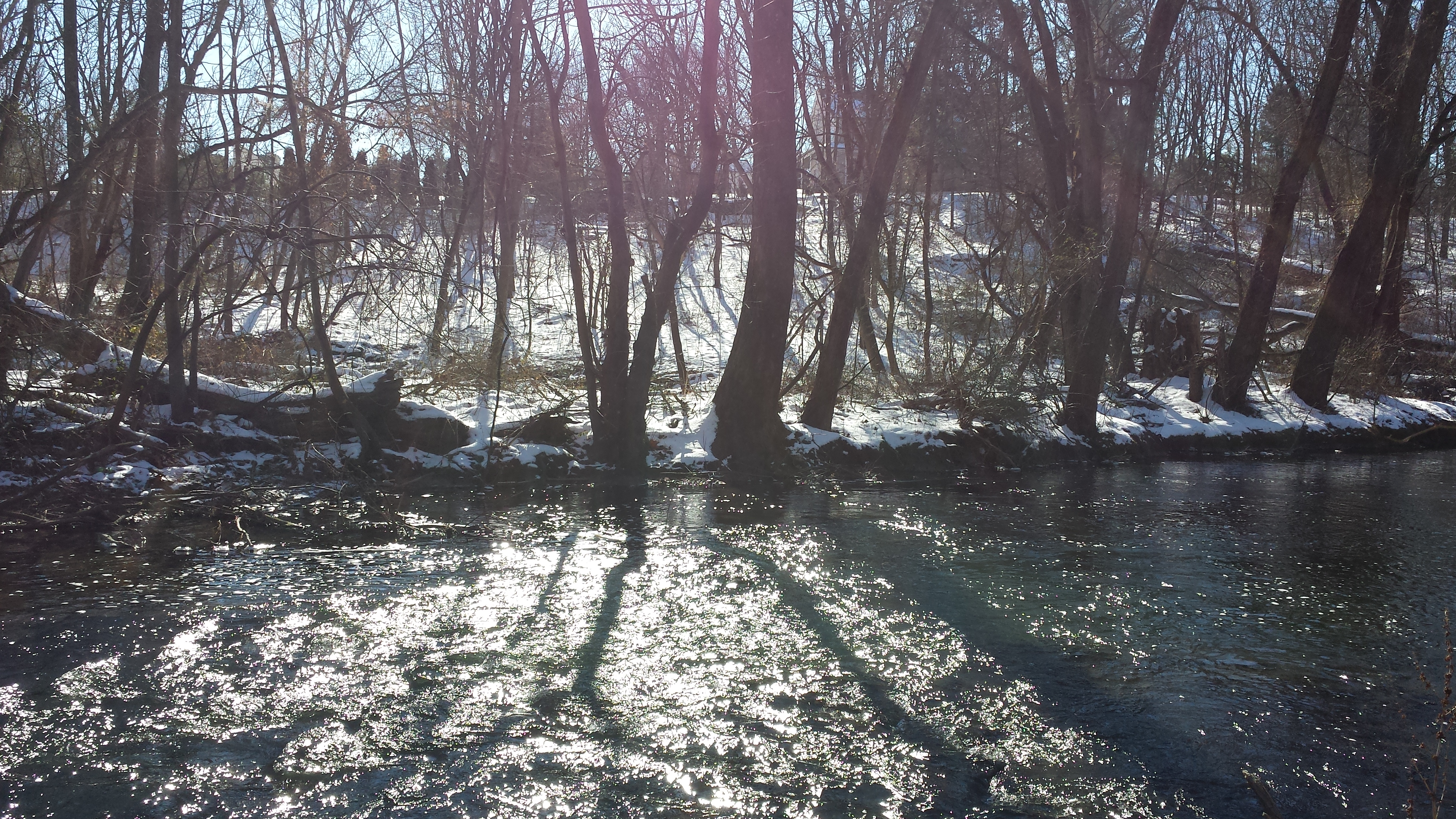
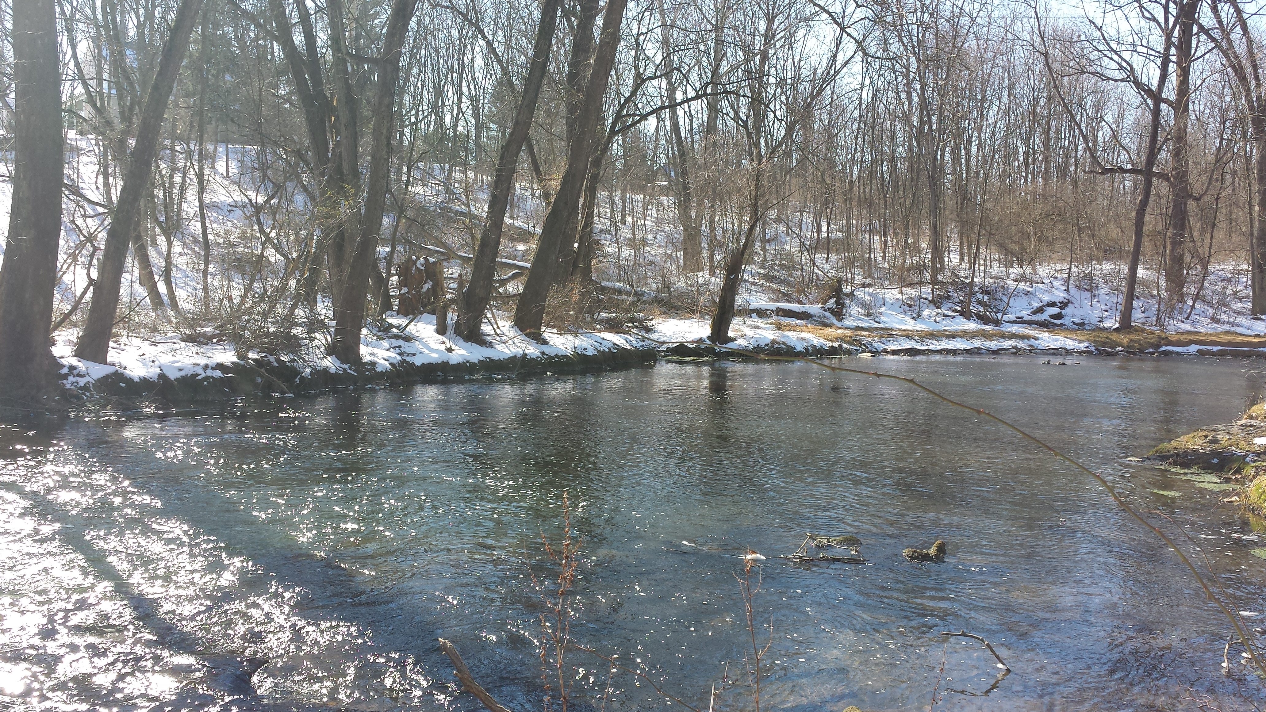
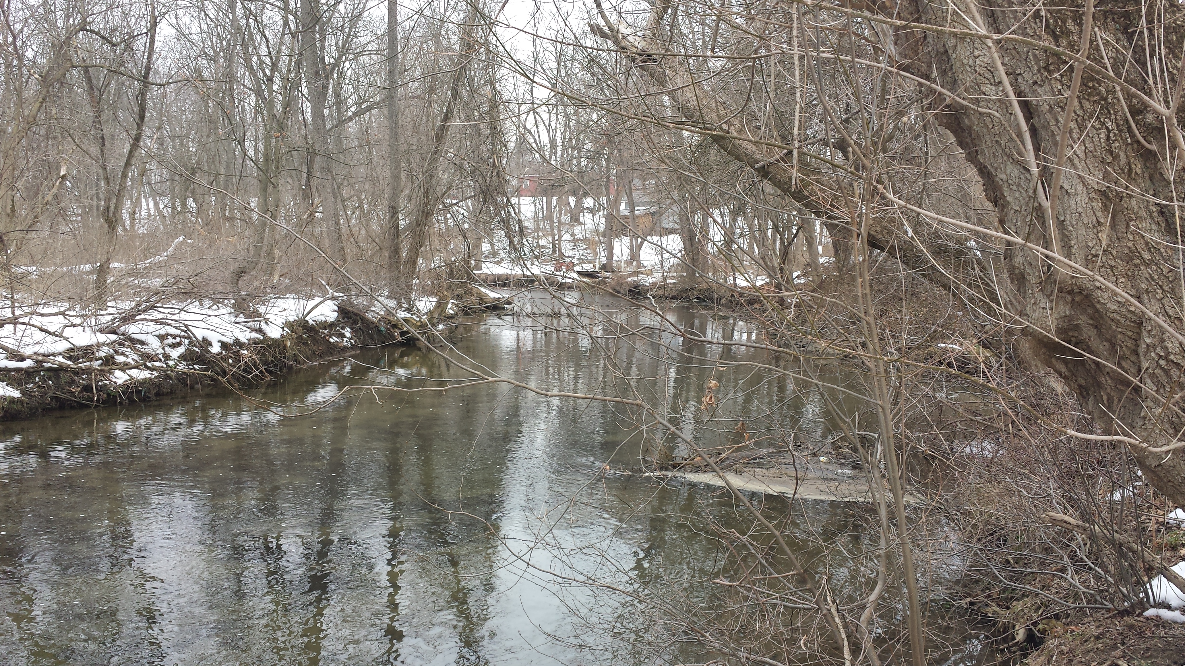
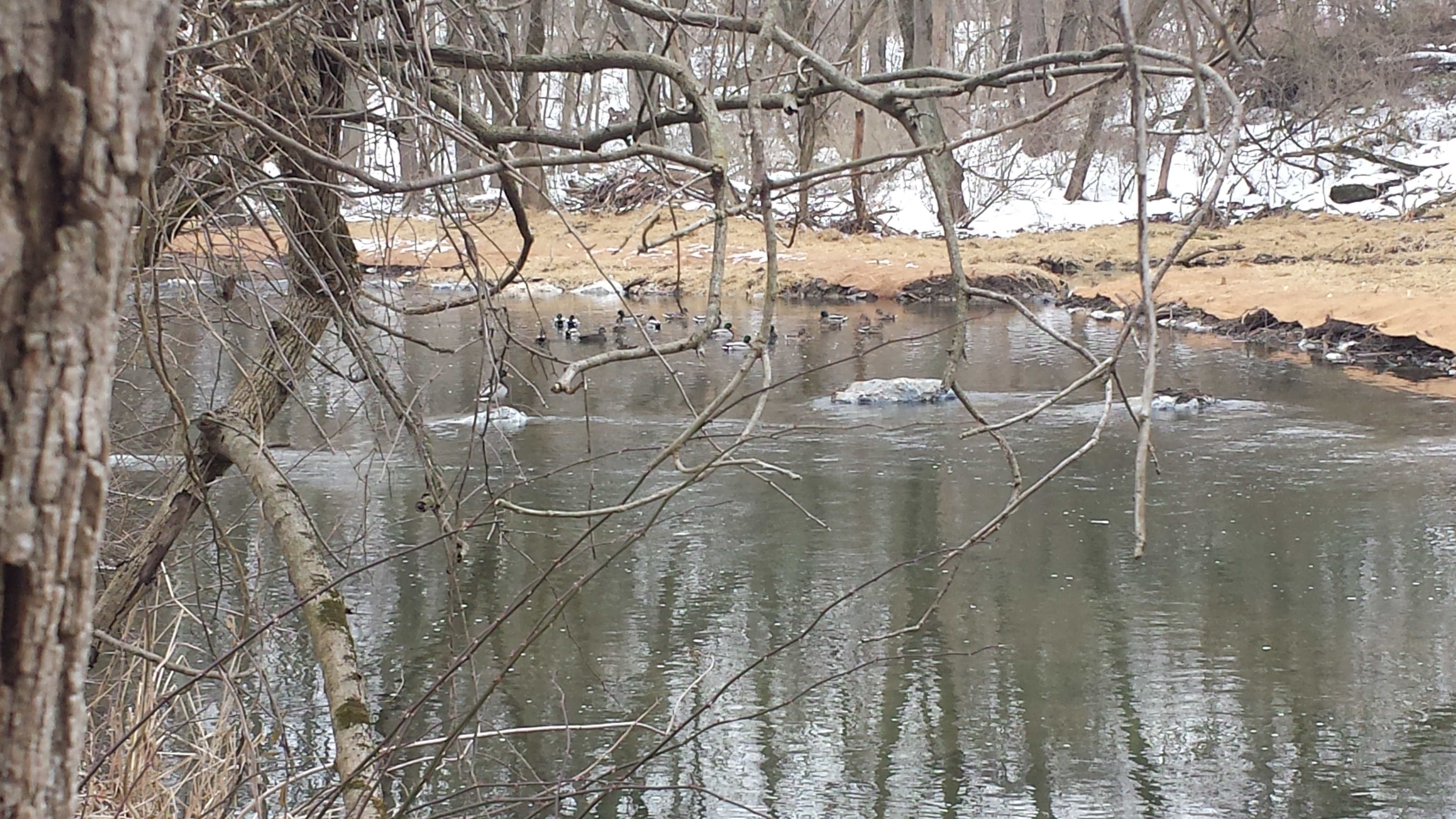
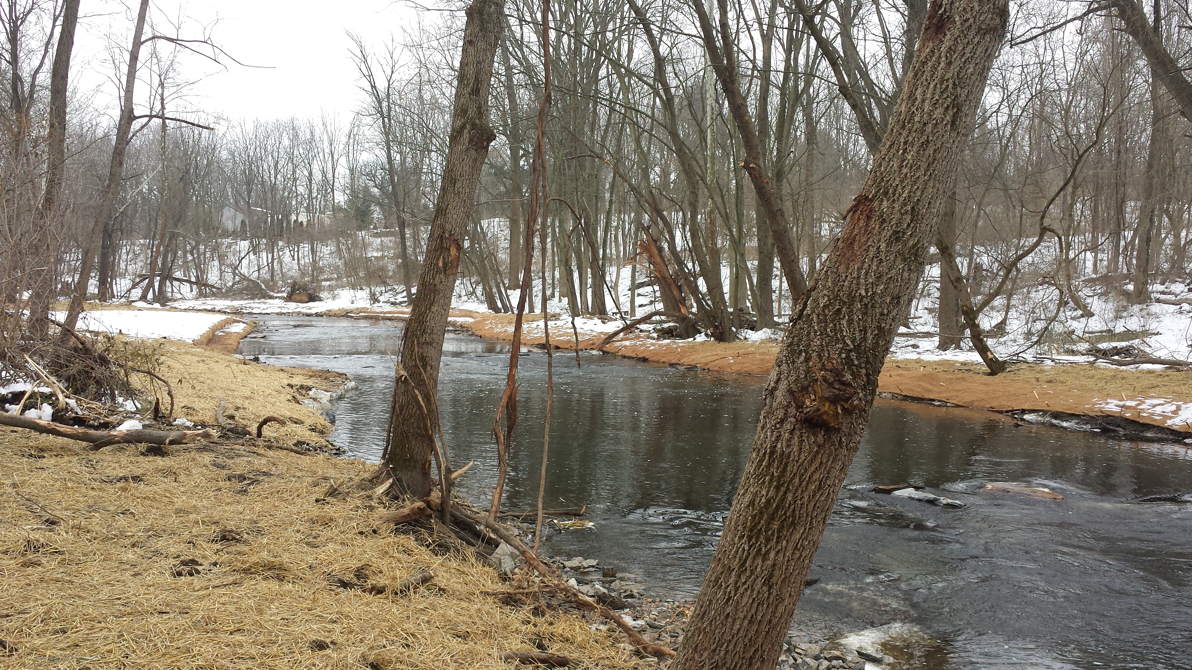
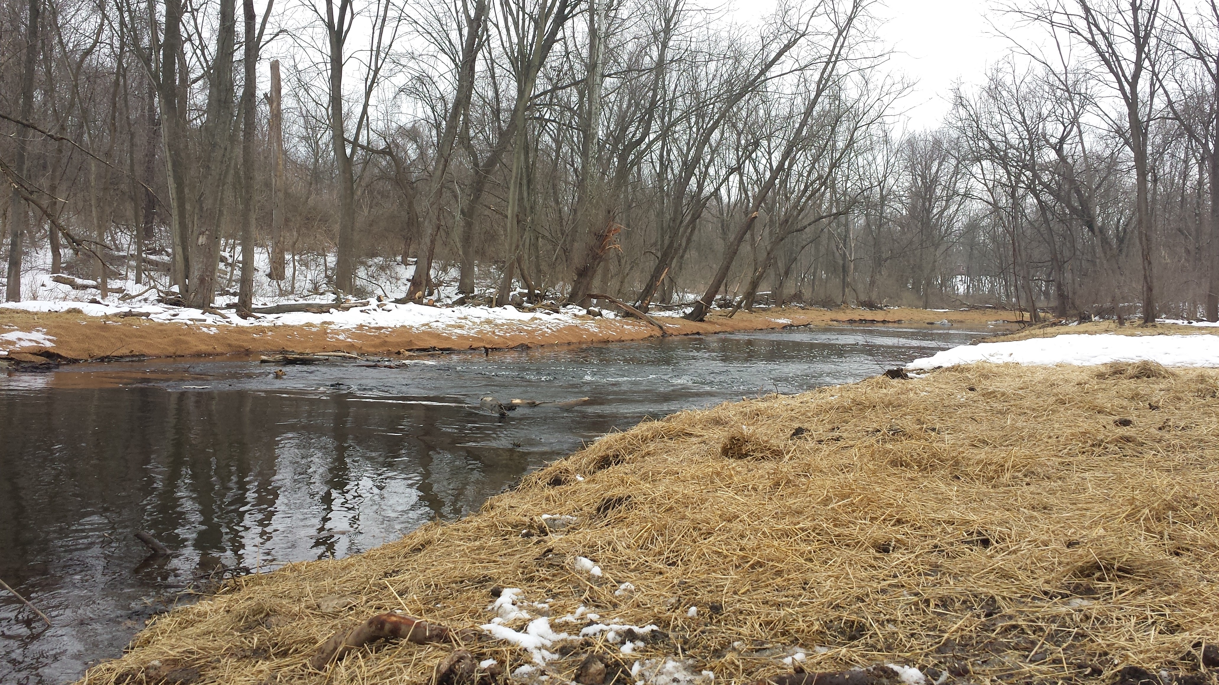
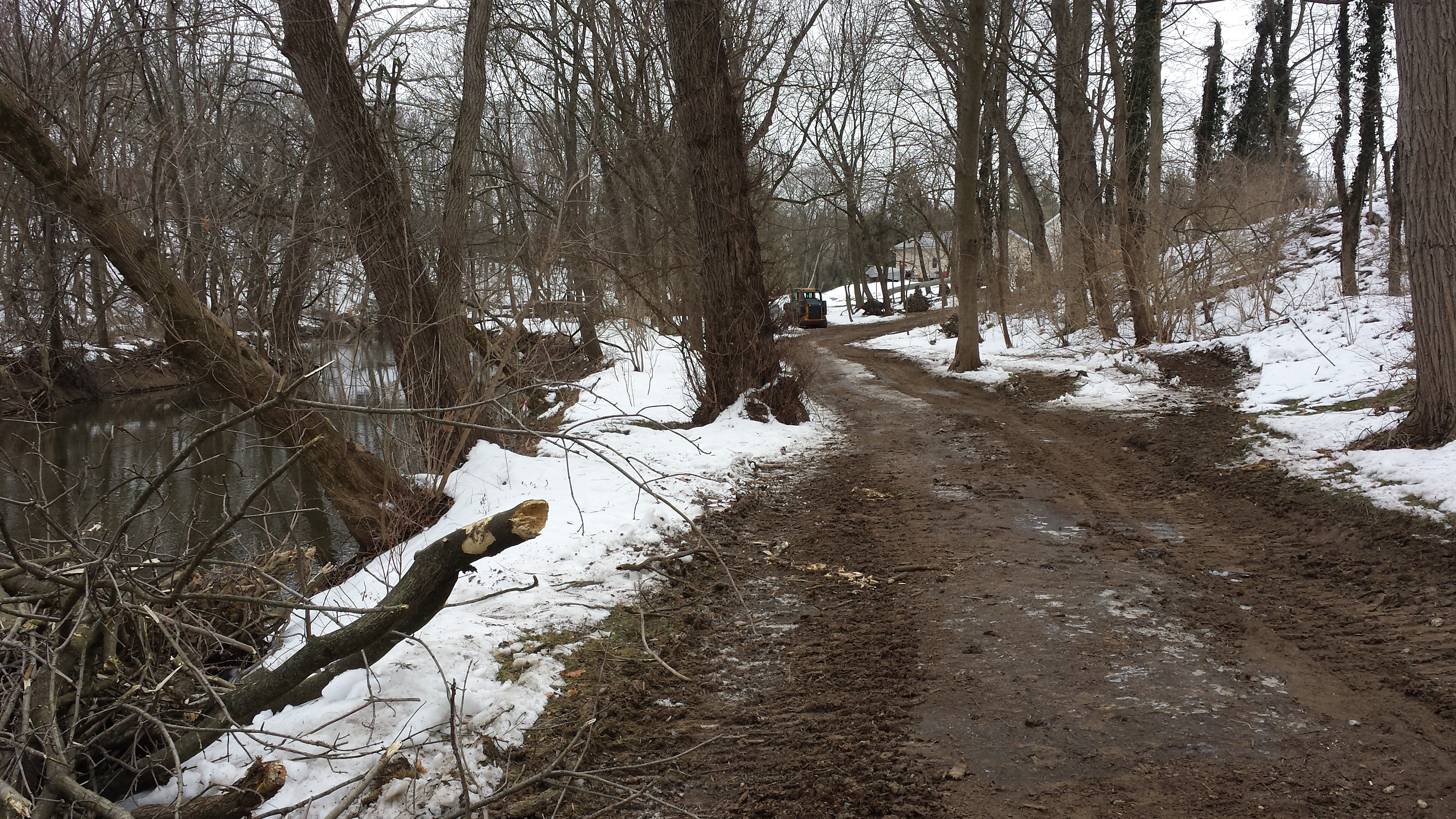
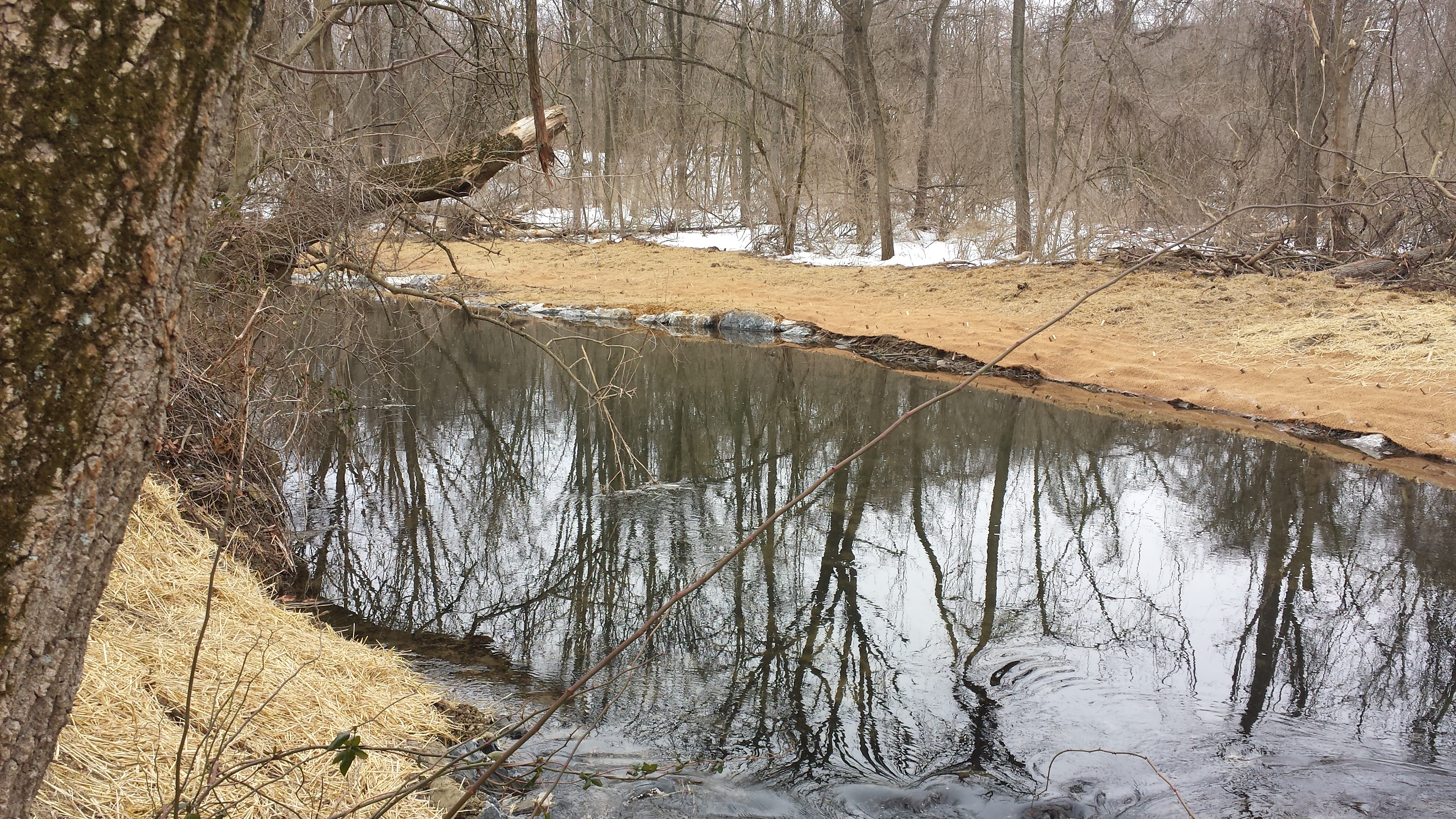
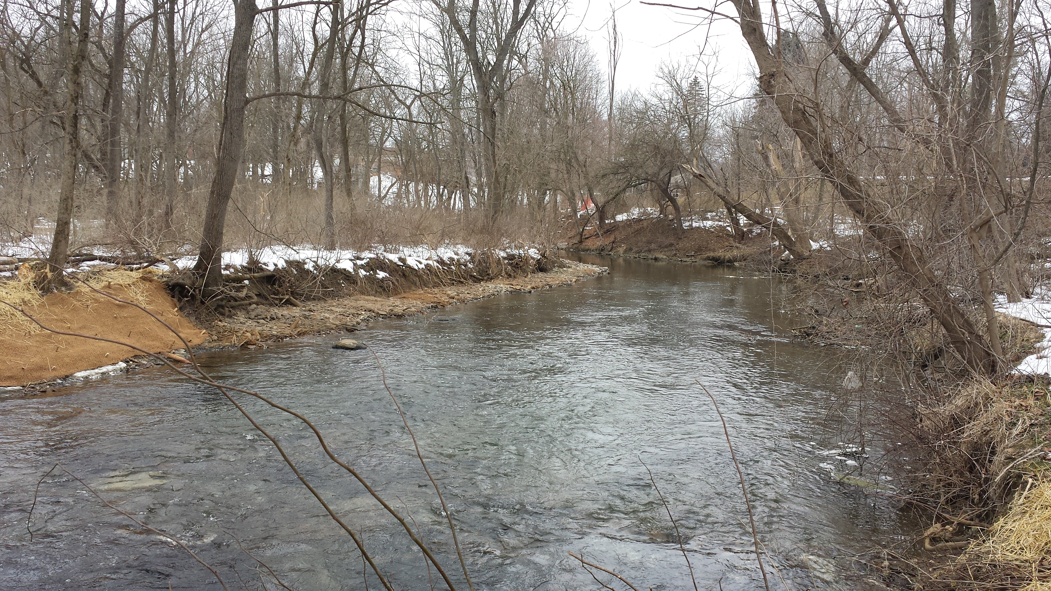
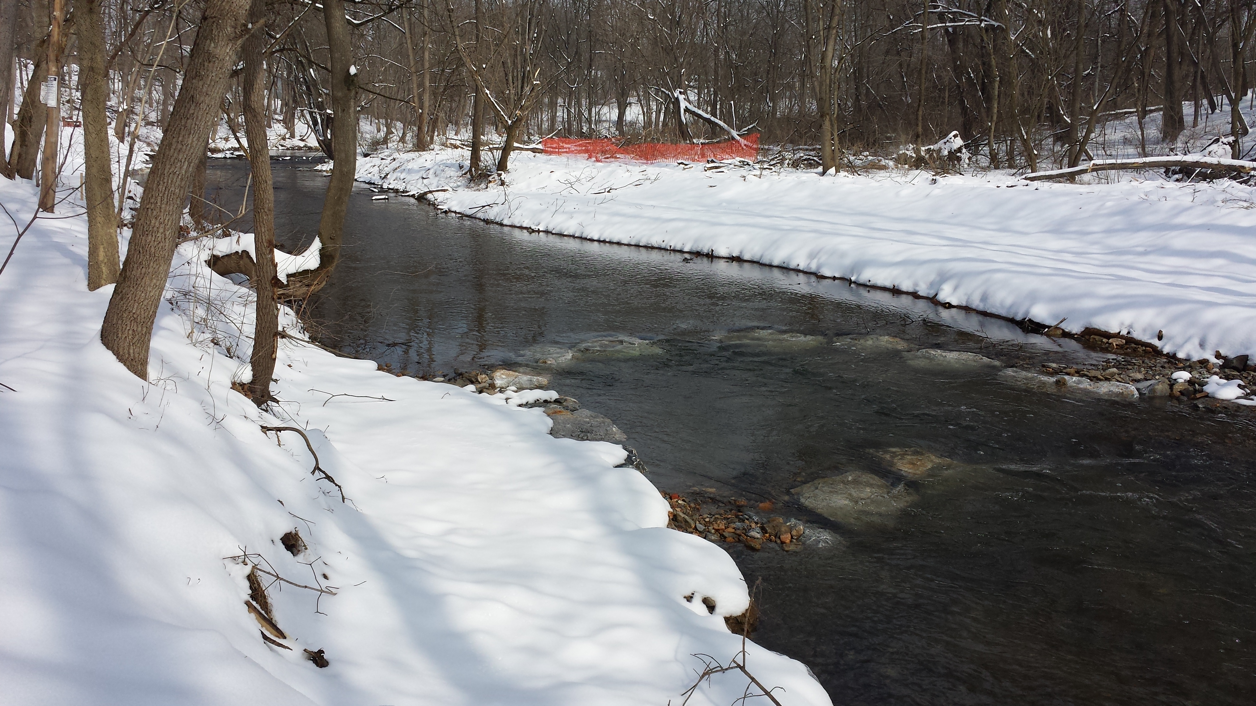
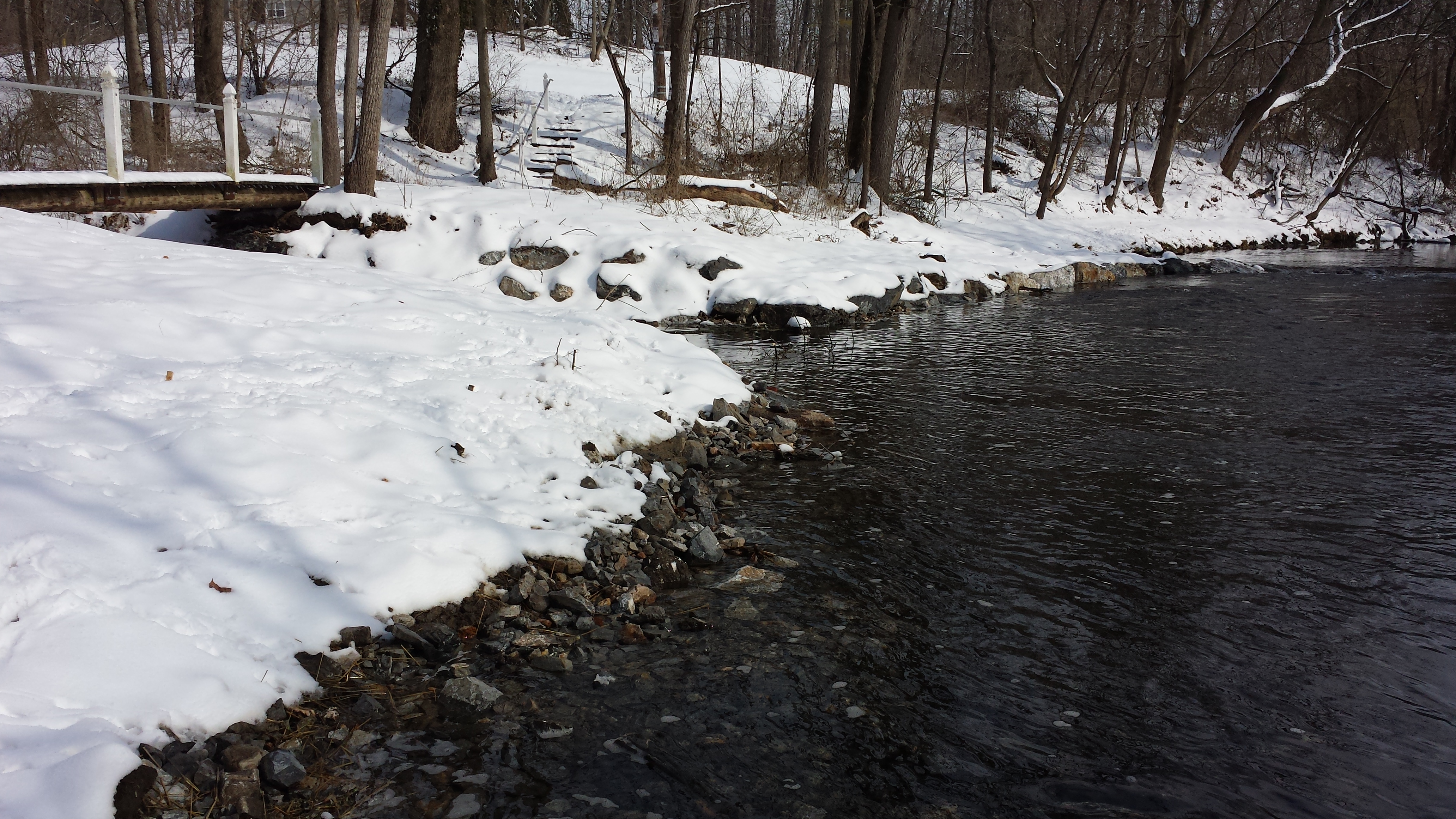
Week 10: January 12-16, 2015
 Brisk progress this week, both
upstream & downstream of the Pedestrian Bridge (all
these photos taken Sat Jan 27). Upstream, as
seen in the photo at right, the geotextile fabric
has been rolled & secured on both banks all the way
down to the bridge. The photo below right was
also taken from the middle of the Pedestrian Bridge,
pivoting 180 degrees & looking downstream.
Brisk progress this week, both
upstream & downstream of the Pedestrian Bridge (all
these photos taken Sat Jan 27). Upstream, as
seen in the photo at right, the geotextile fabric
has been rolled & secured on both banks all the way
down to the bridge. The photo below right was
also taken from the middle of the Pedestrian Bridge,
pivoting 180 degrees & looking downstream.
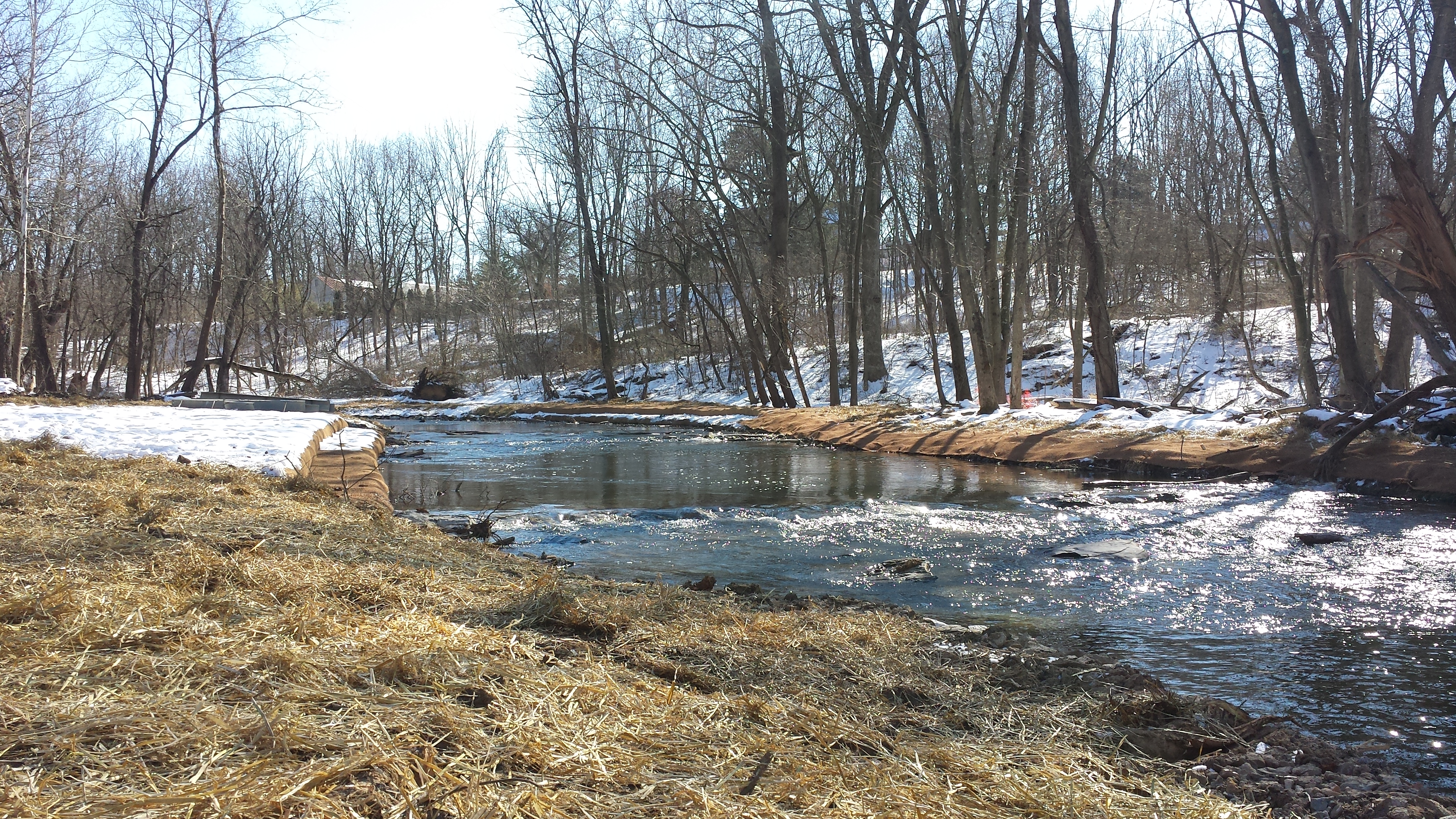
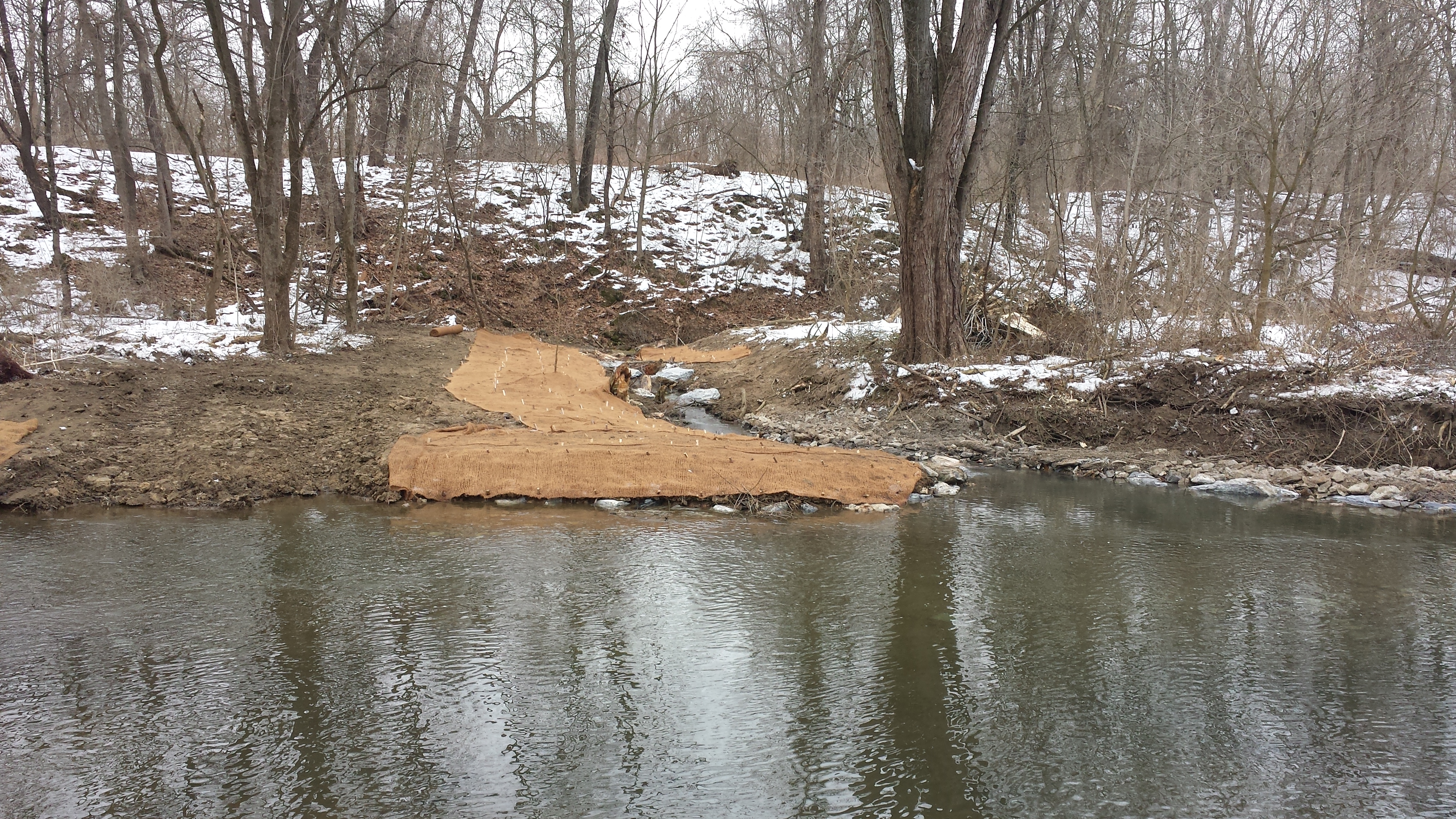
 As seen at right and in the panoramic
composite photo below, substantial work has been
done on both banks downstream. From atop the
bridge we can see the left (south) bank has been
extended, built up, and covered with coir fabric.
A lot of brush-clearing and prep work has also been
done on the right (north) bank, as seen in the
thumbnailed photos just below the panoramic shot
(click on the panoramic shot for a much wider & higher
resolution version of the same photo -- but beware, it's
23 MB in size).
As seen at right and in the panoramic
composite photo below, substantial work has been
done on both banks downstream. From atop the
bridge we can see the left (south) bank has been
extended, built up, and covered with coir fabric.
A lot of brush-clearing and prep work has also been
done on the right (north) bank, as seen in the
thumbnailed photos just below the panoramic shot
(click on the panoramic shot for a much wider & higher
resolution version of the same photo -- but beware, it's
23 MB in size).
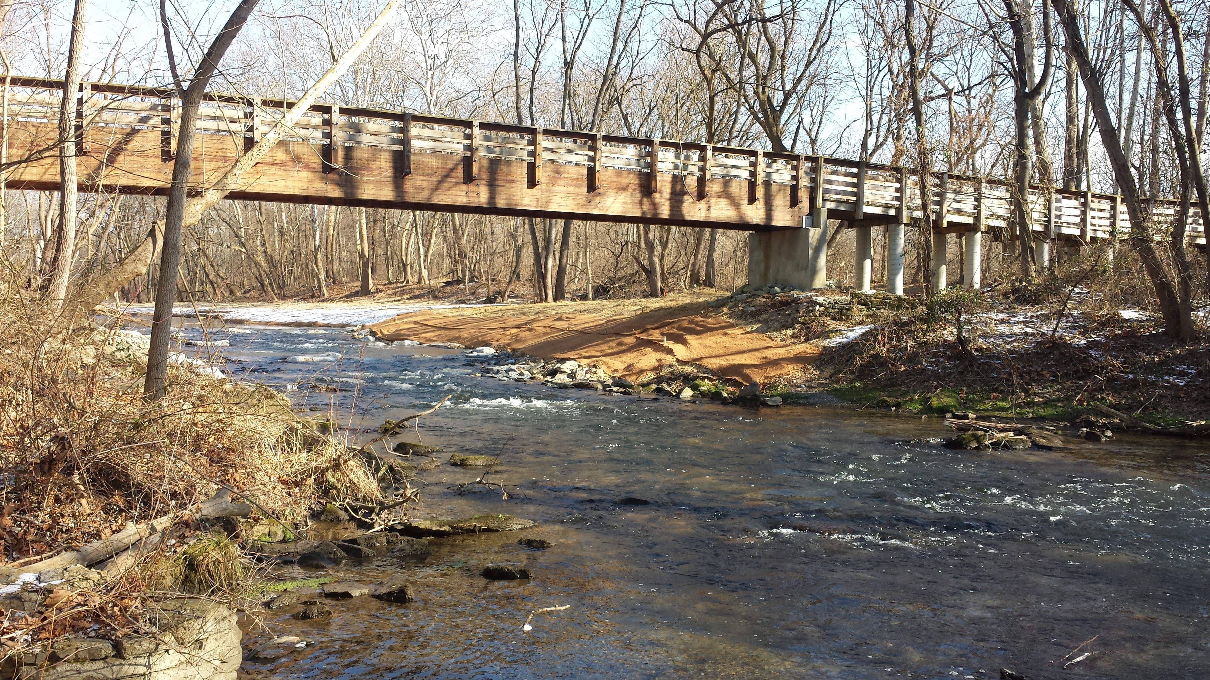

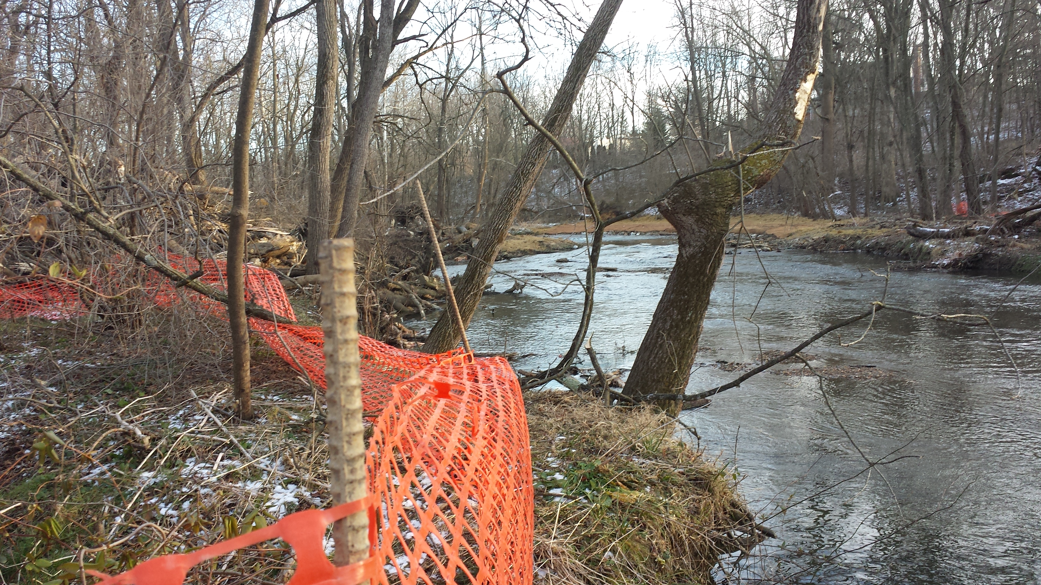
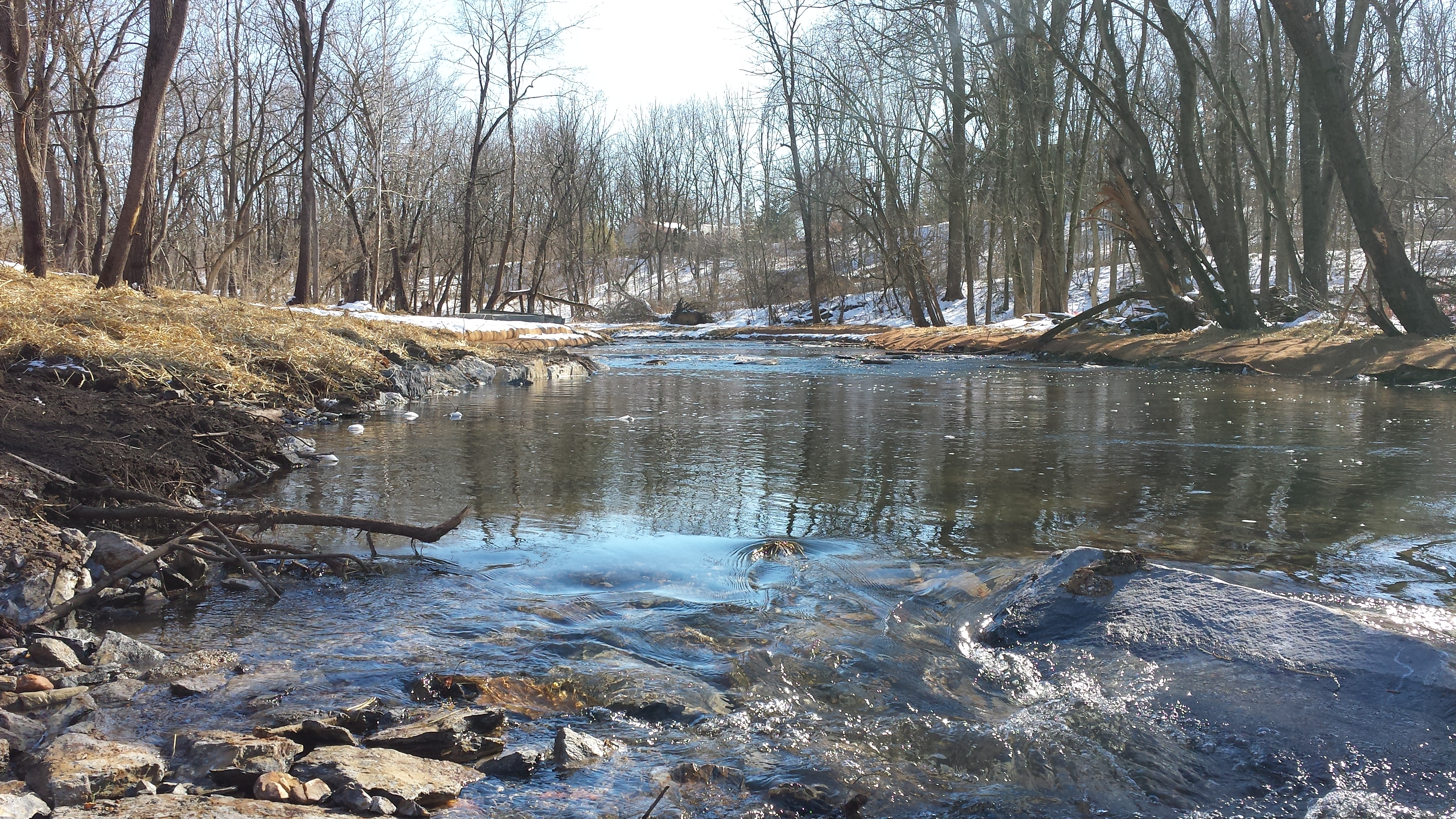
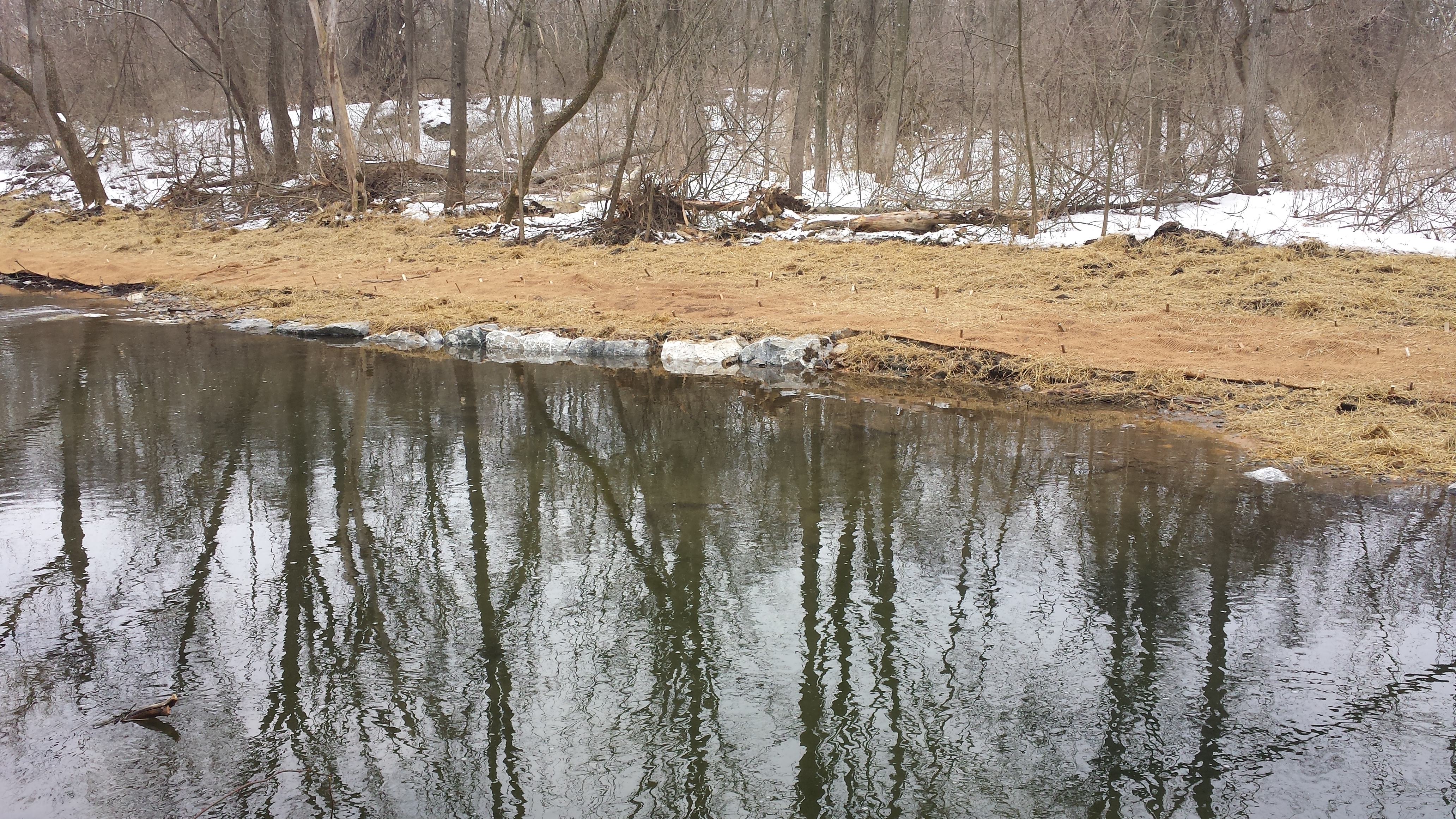
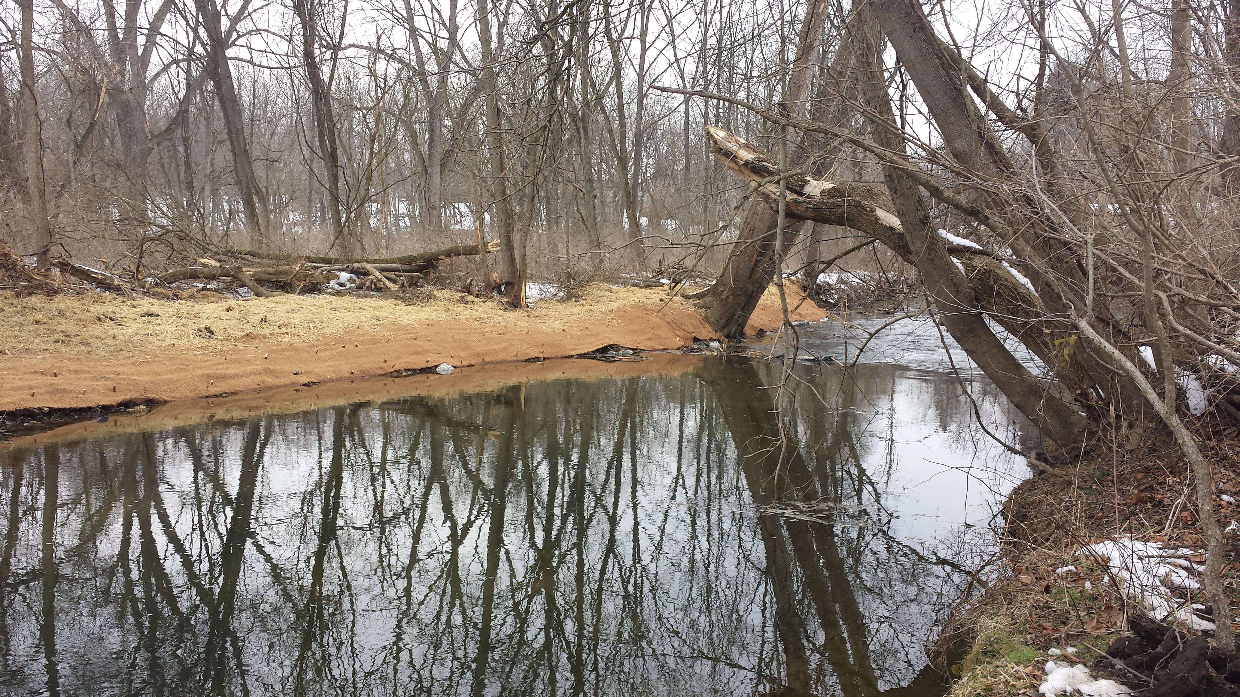
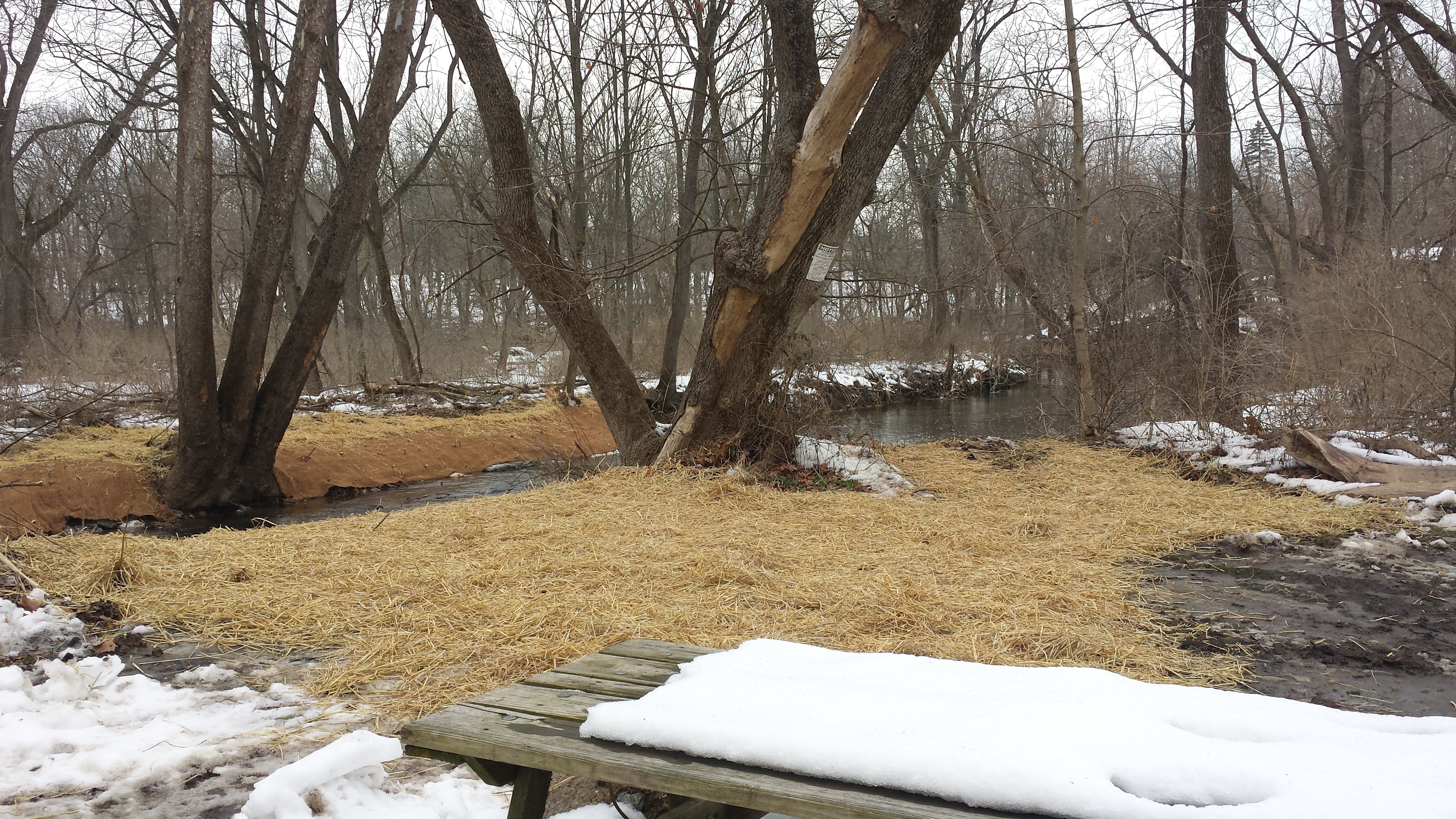
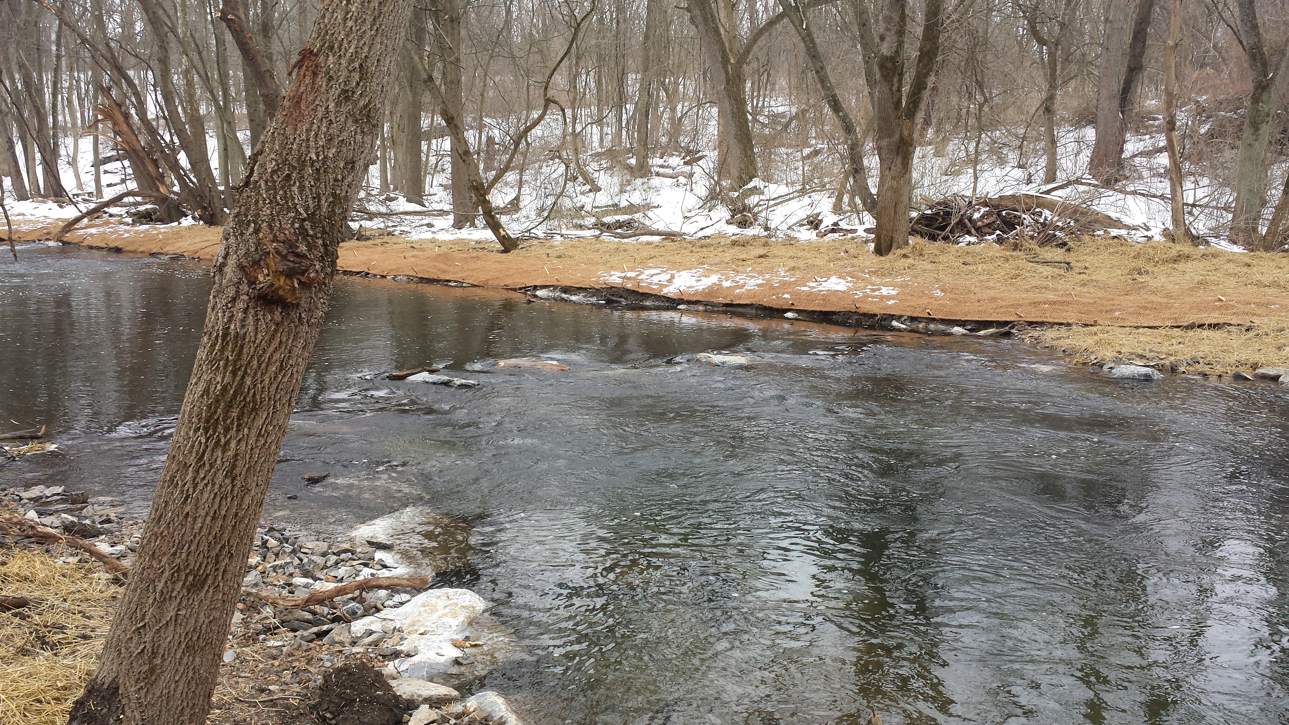
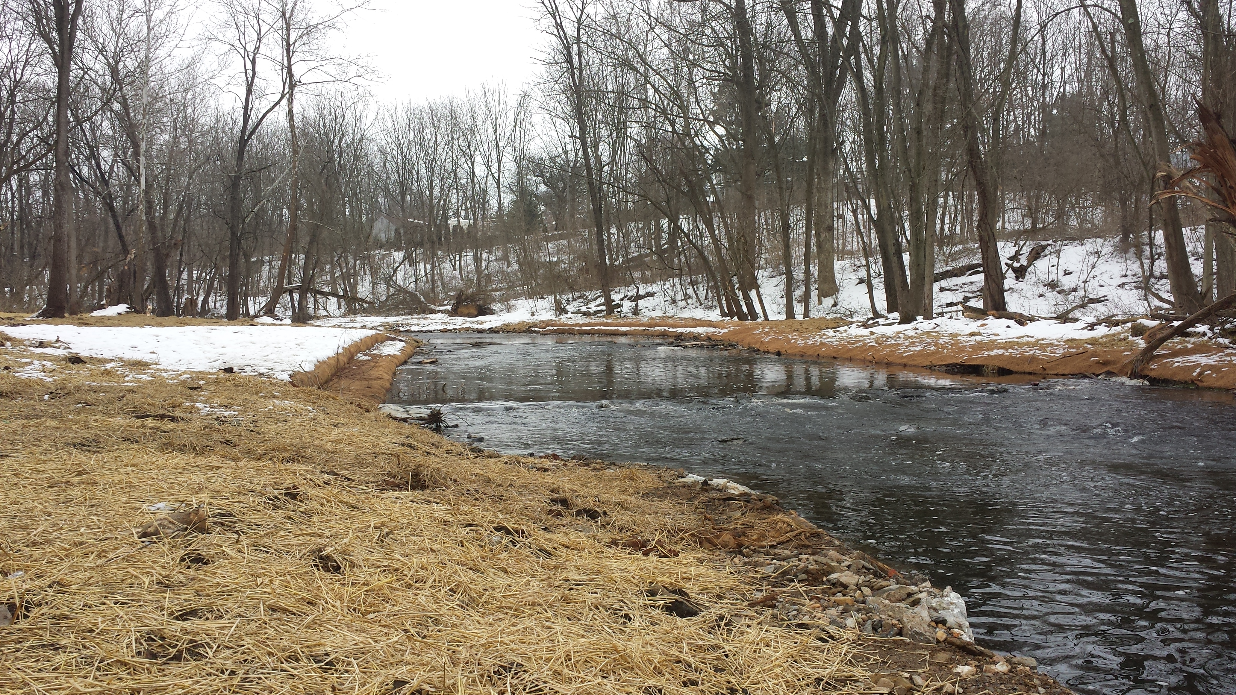
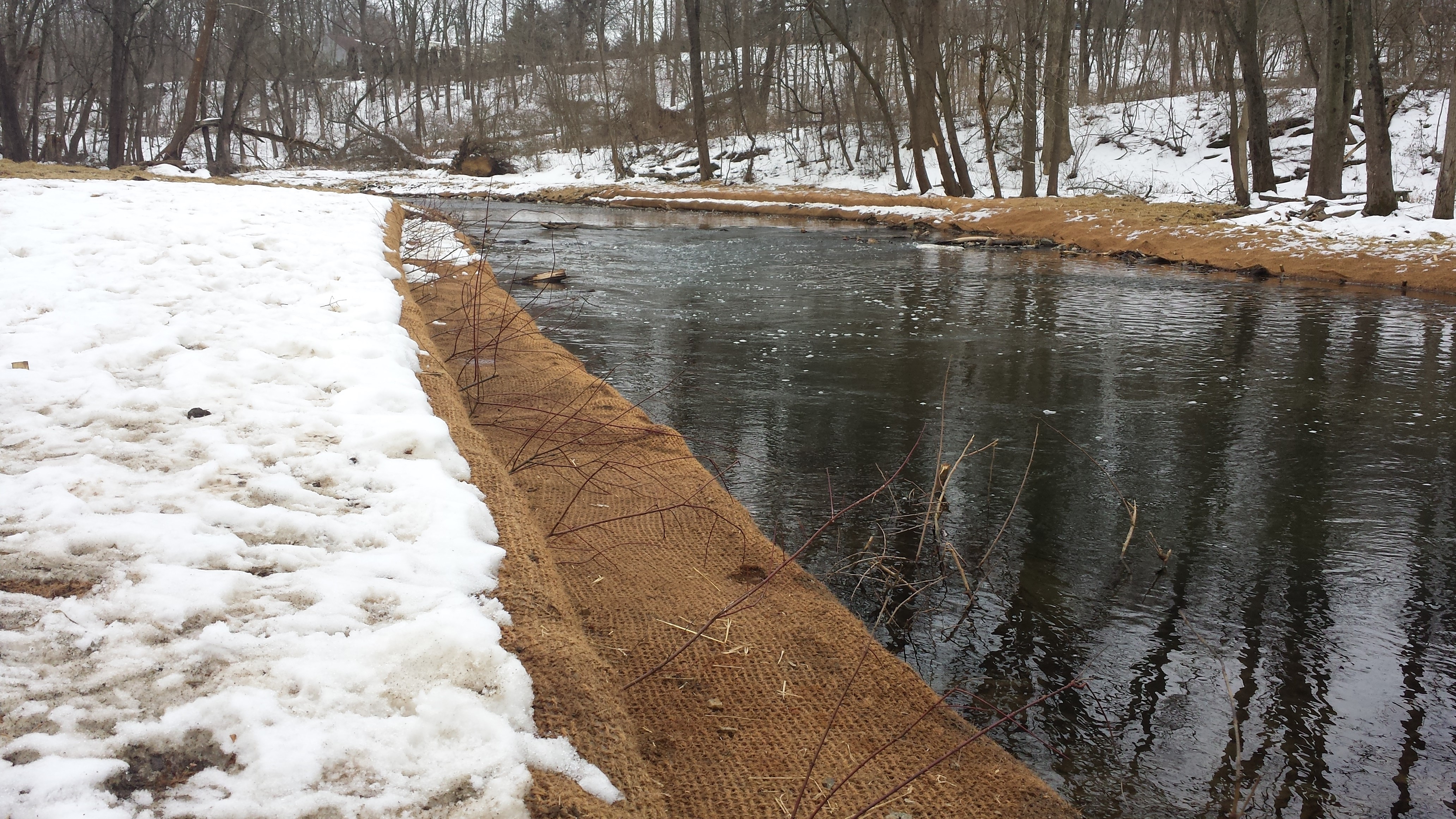
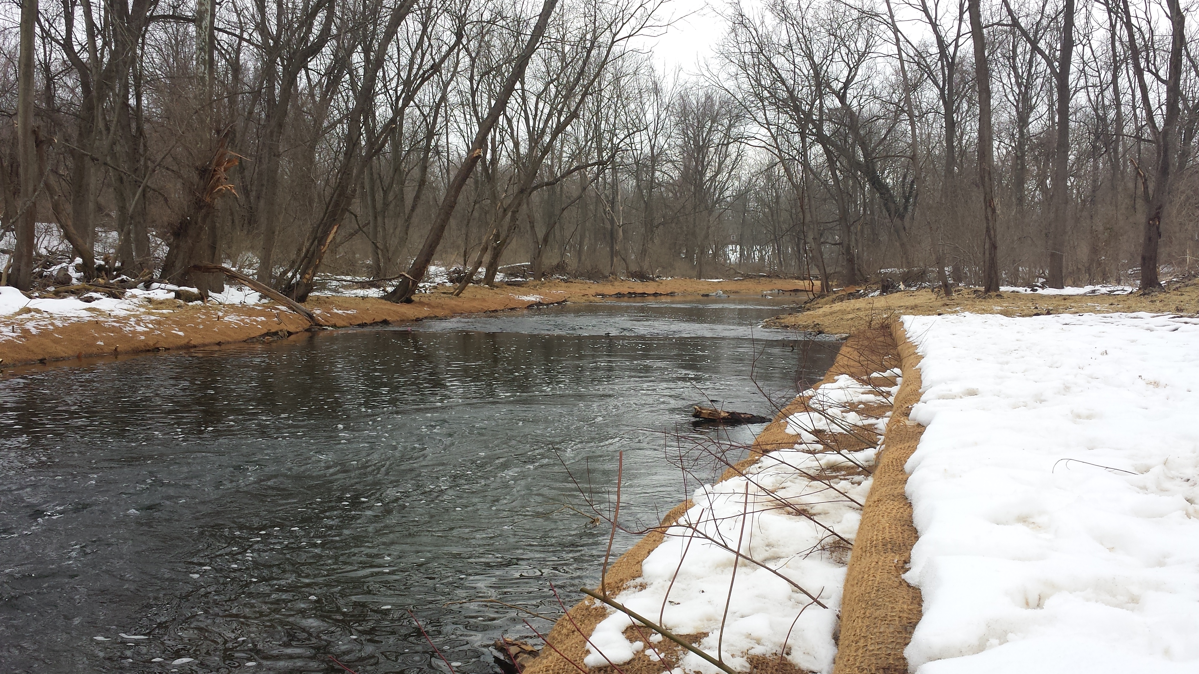
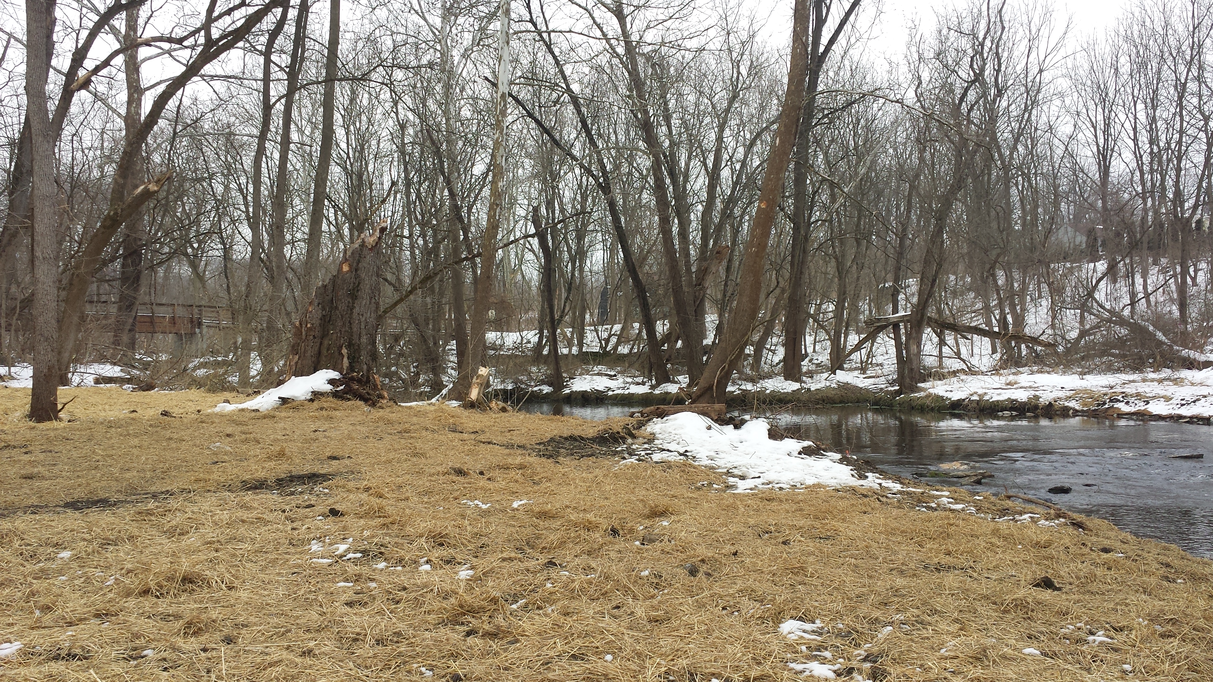
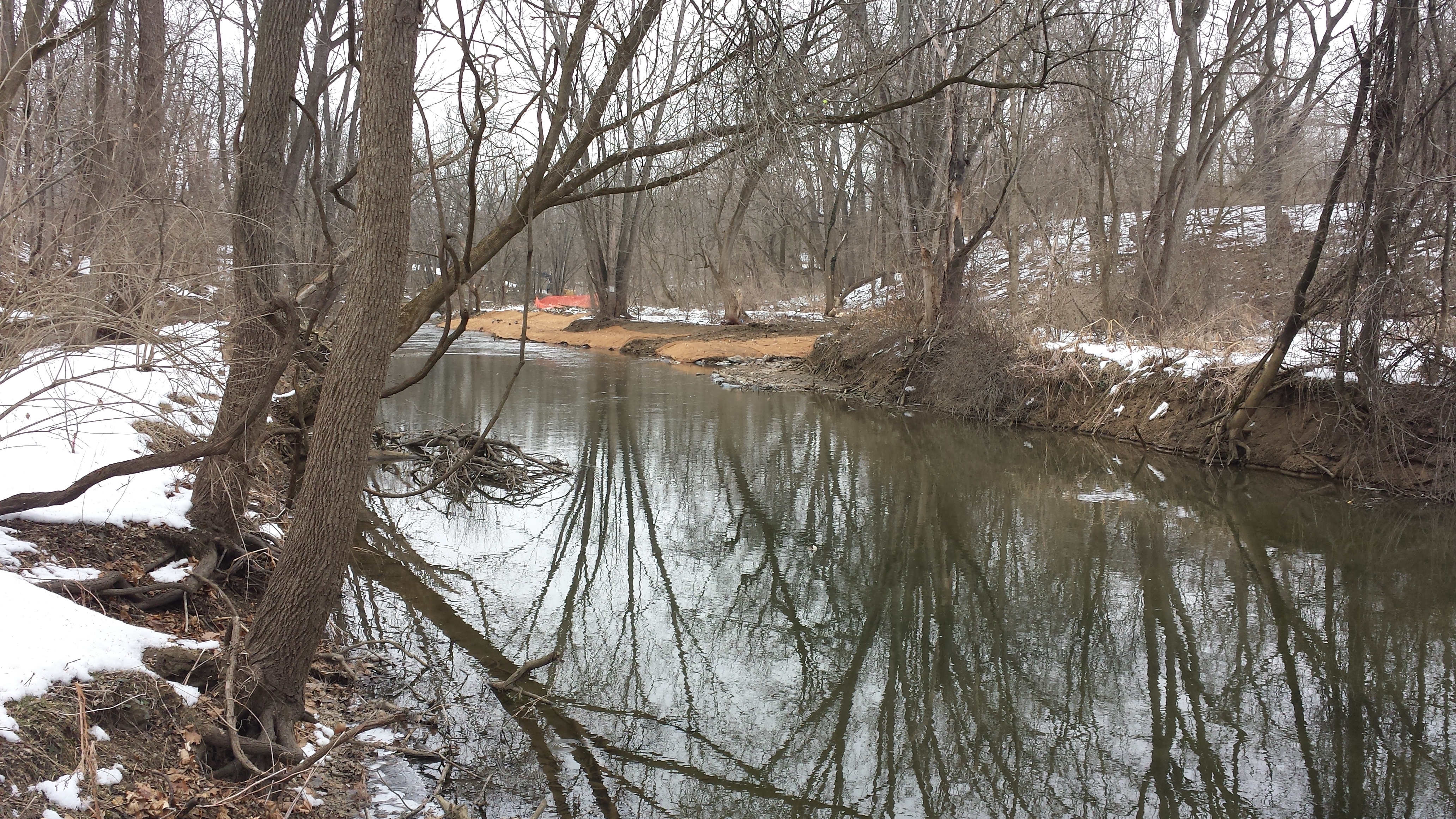
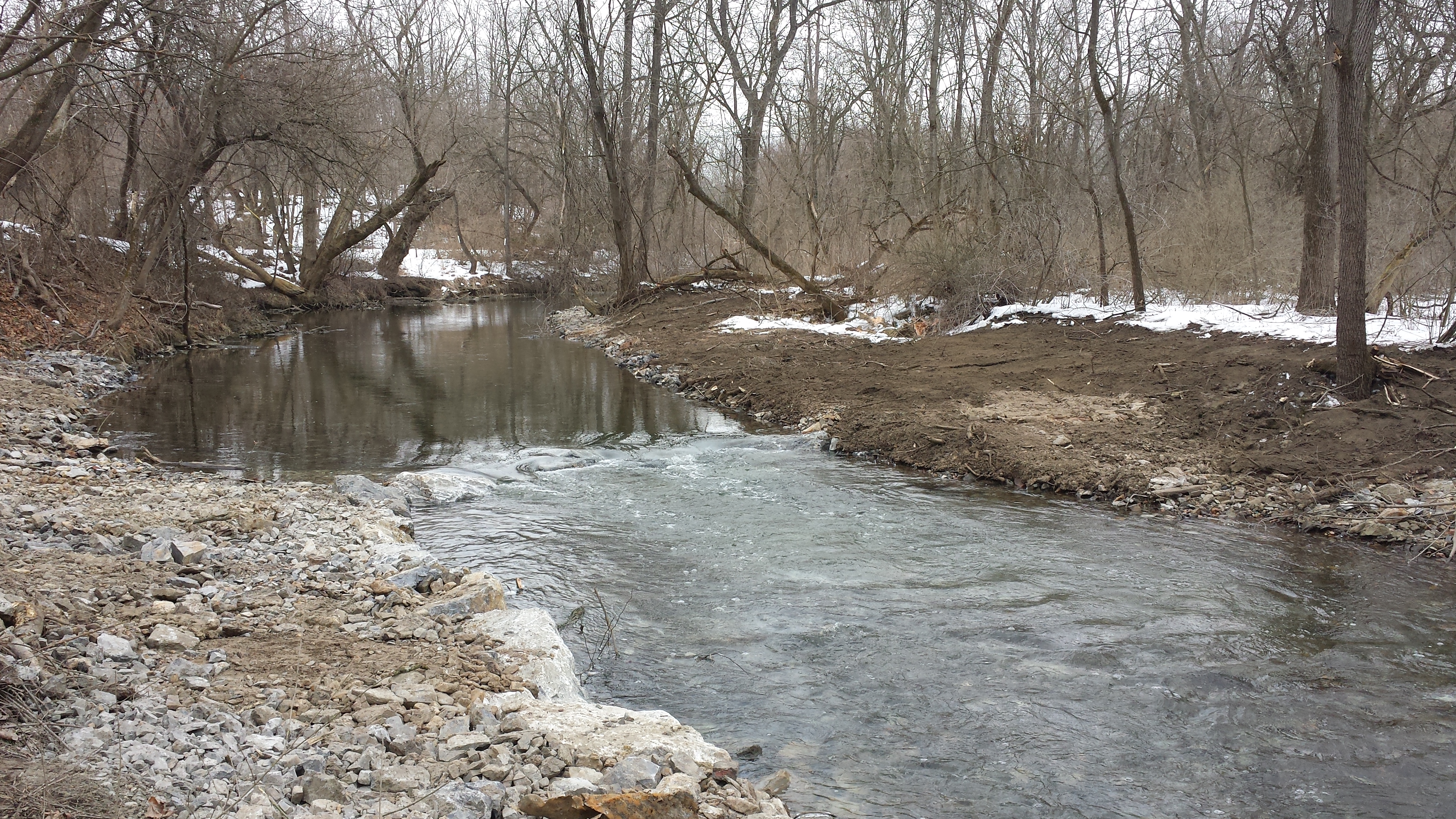
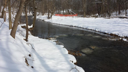
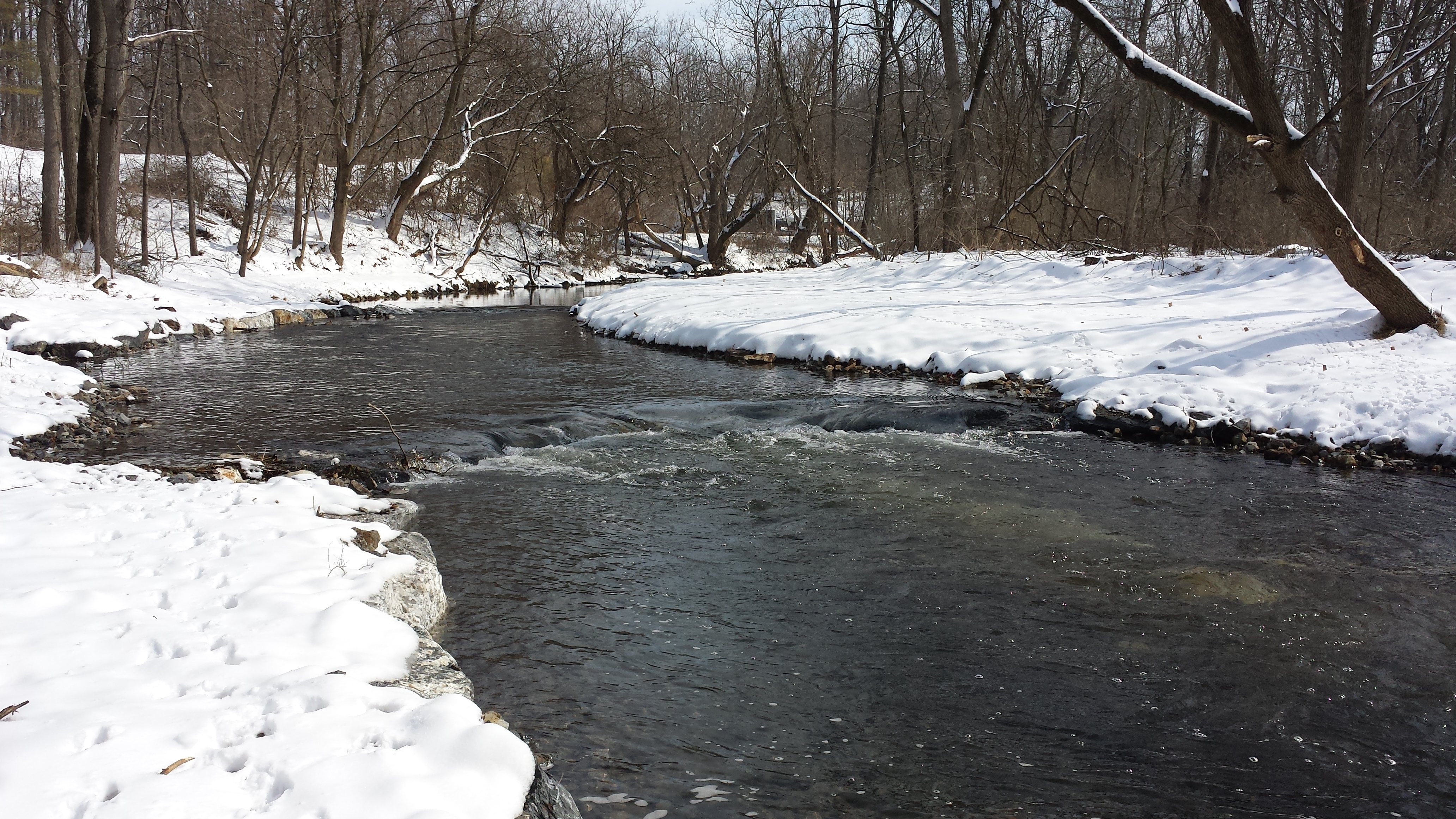
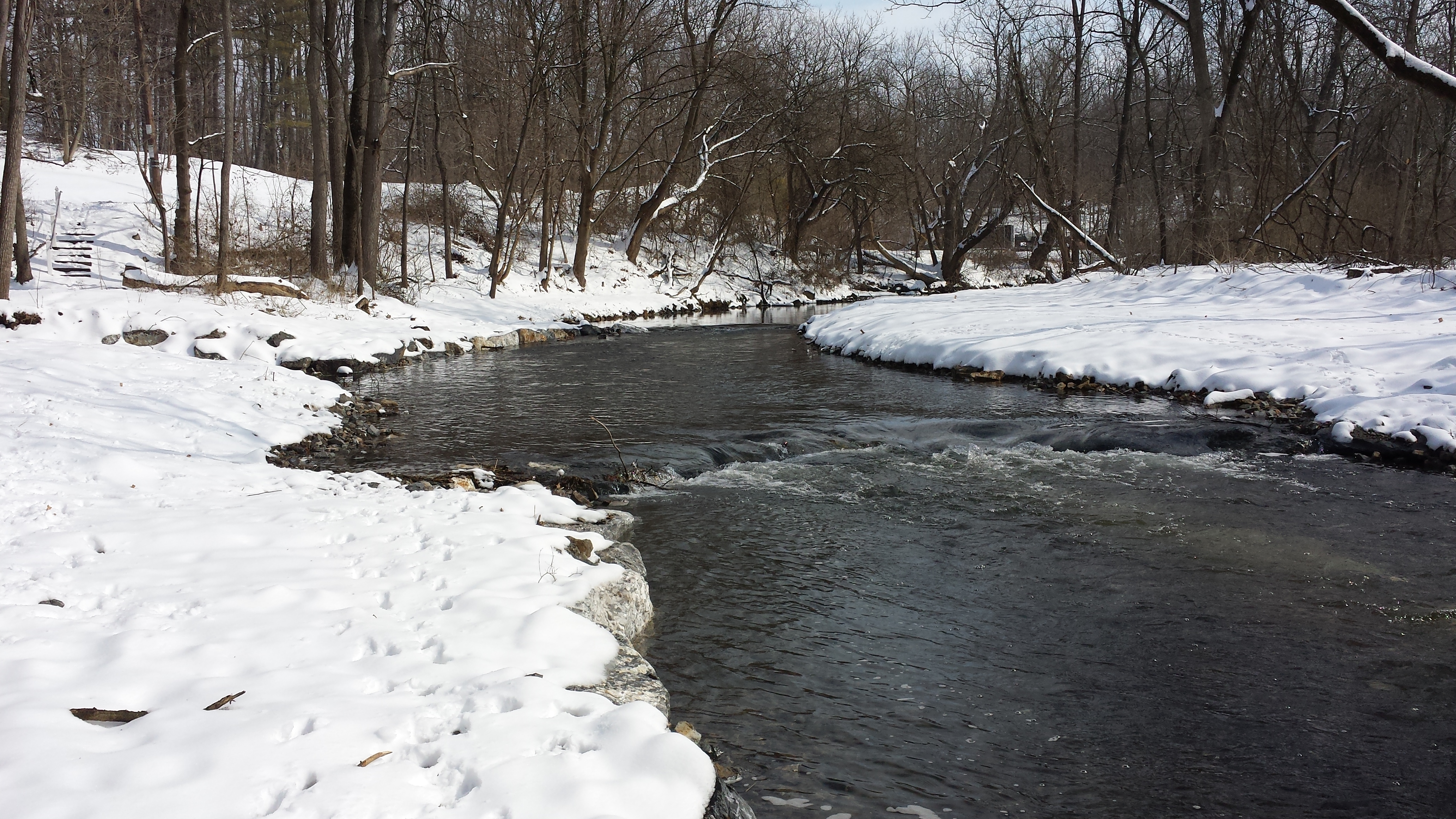
Week 11: January 19-23, 2015
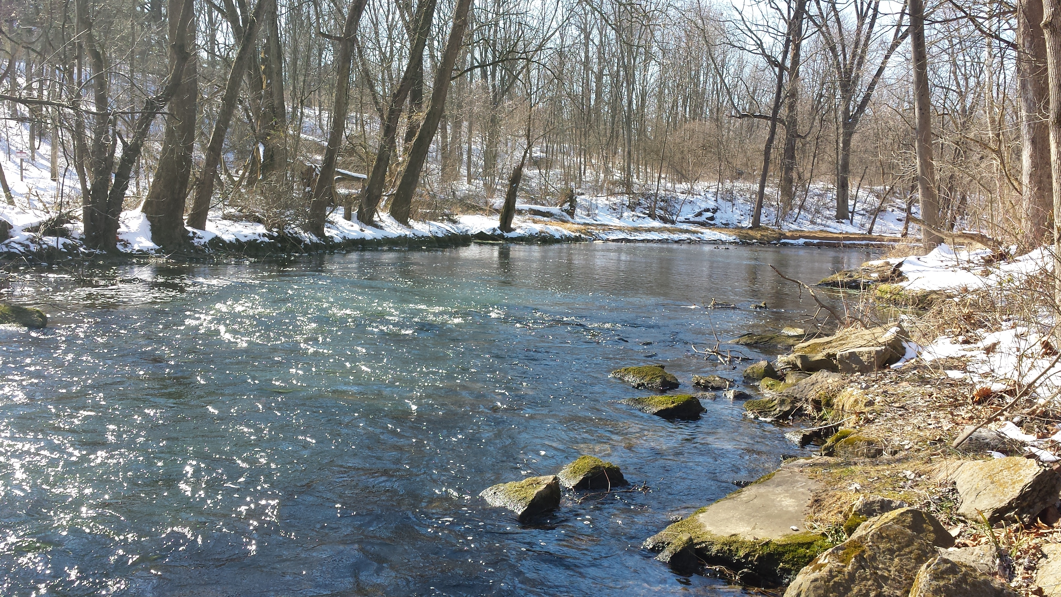
More frigid temps & snow meant slow but steady progress. Photos taken Sat Jan 24. The first looks upstream from the pedestrian bridge; the second turns around & looks downstream. The second photo shows that the crew is not disturbing the section on the south bank just downstream of the pedestrian bridge. The 3rd photo shows the freshly-created extended bank on the north side, and the 4th shows the restored south bank. The last in the sequence looks back upstream toward the Pedestrian Bridge.

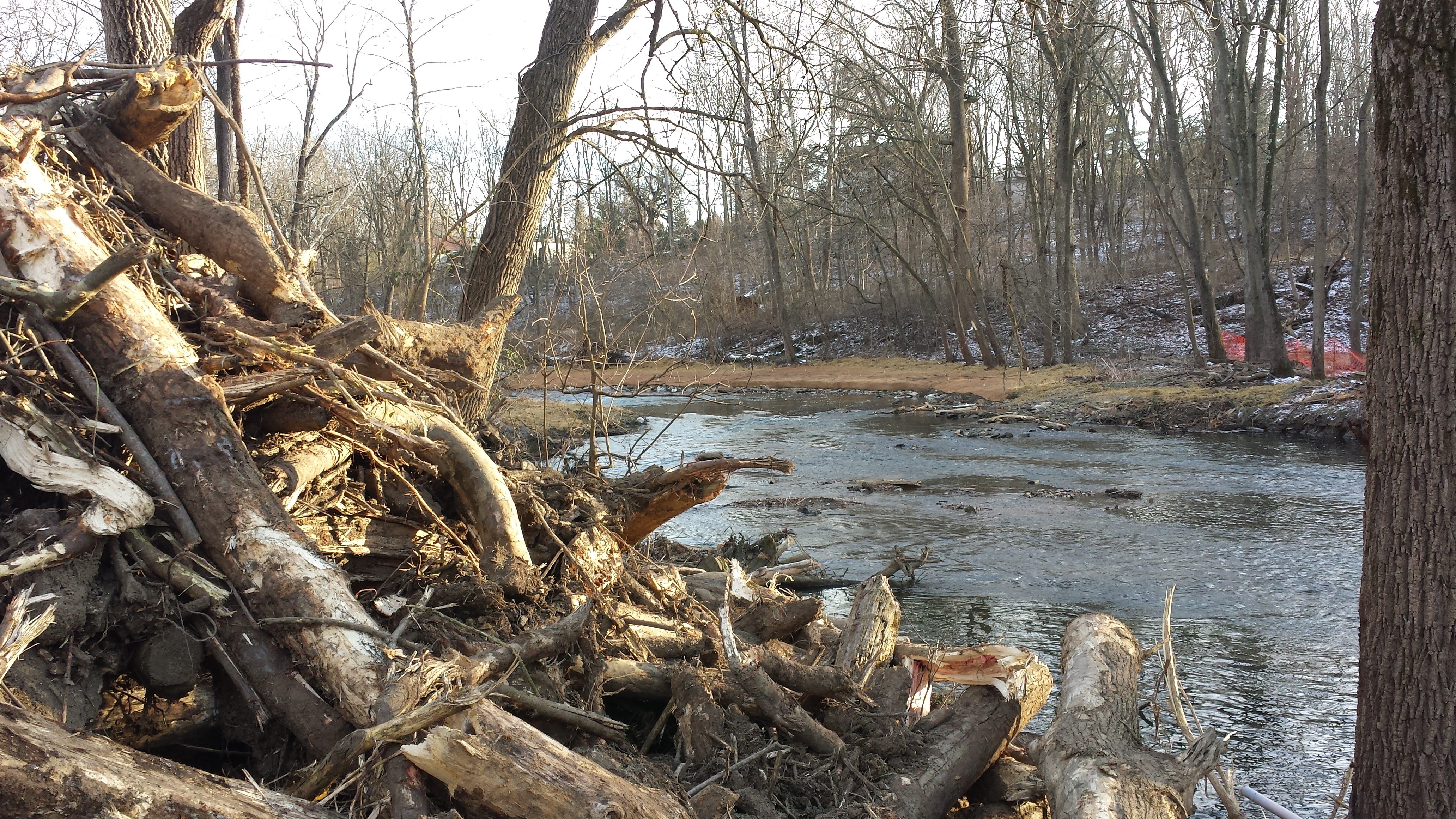
Week 12: January 26-30, 2015
 The project saw great progress this
week on both banks and in the stream to
about 100 yards downstream of the Pedestrian Bridge.
The riverscape is all but unrecognizable from a year
ago, when a massive ice storm toppled dozens of
trees & limbs throughout the park. We worked
our tails off last spring cleaning most of that
debris out, but the sense of openness along the
creek is now orders of magnitude greater. It's
a striking transformation.
The project saw great progress this
week on both banks and in the stream to
about 100 yards downstream of the Pedestrian Bridge.
The riverscape is all but unrecognizable from a year
ago, when a massive ice storm toppled dozens of
trees & limbs throughout the park. We worked
our tails off last spring cleaning most of that
debris out, but the sense of openness along the
creek is now orders of magnitude greater. It's
a striking transformation.
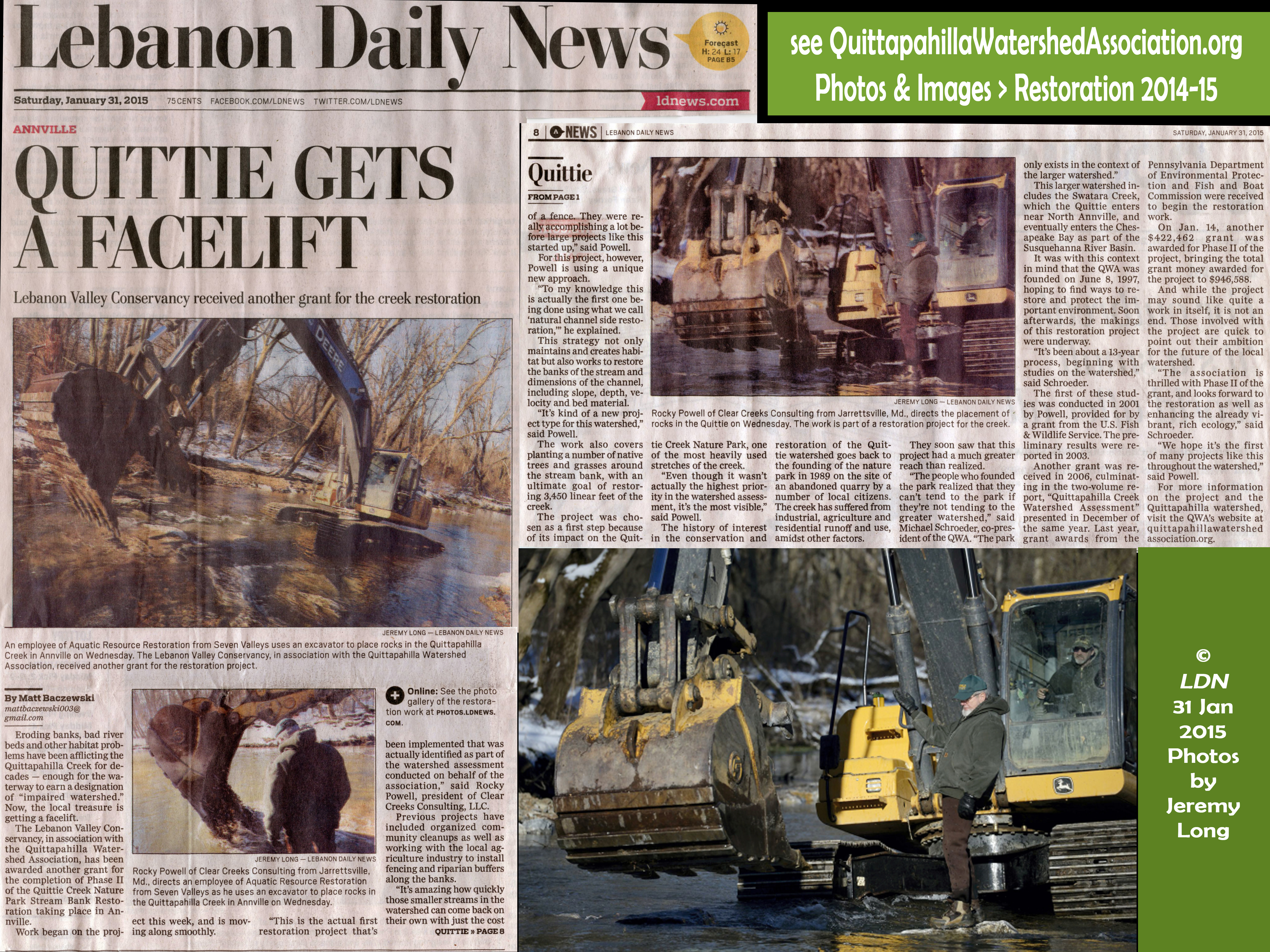
The project was also featured in a January 31 front page story by Matt Baczewski in the Lebanon Daily News. Click on image at right for full image (5 MB).
The photos below show these changes. The first looks upstream from beneath the Pedestrian Bridge -- we've already seen the new rock wall on the north bank. The real action is taking place downstream of the bridge. Photos pan across the the south bank just downstream of the bridge, where Rocky decided to leave the existing bank of trees in place (click on thumbnails for full images).
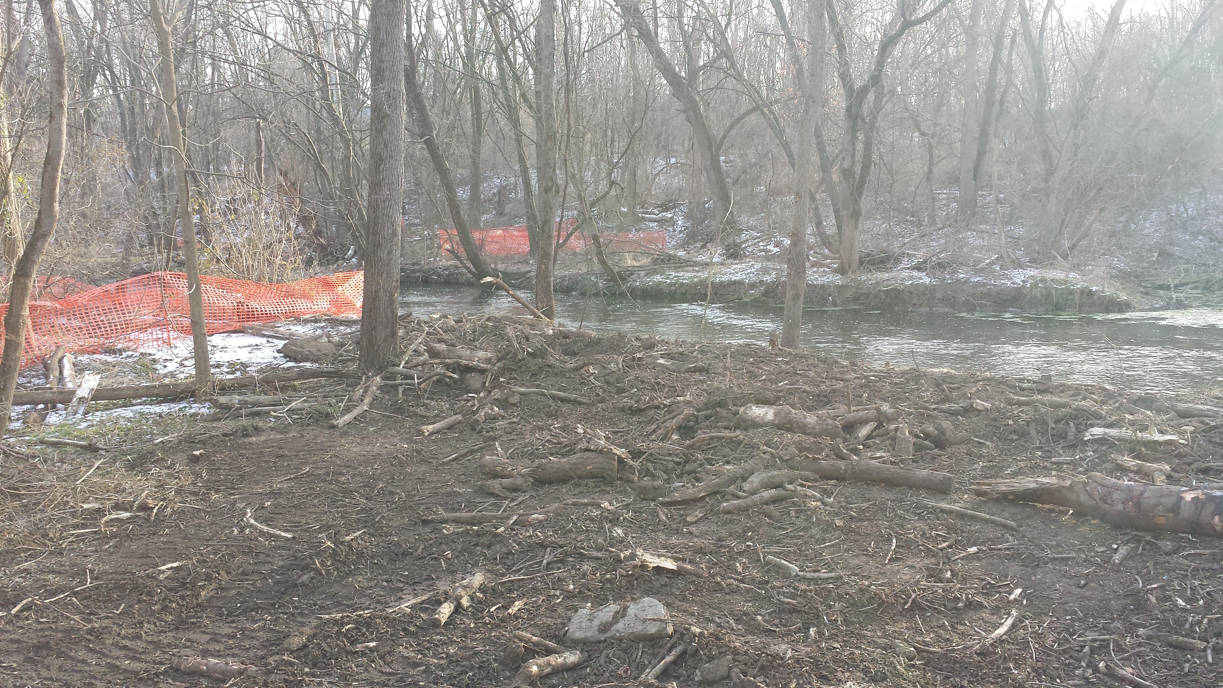
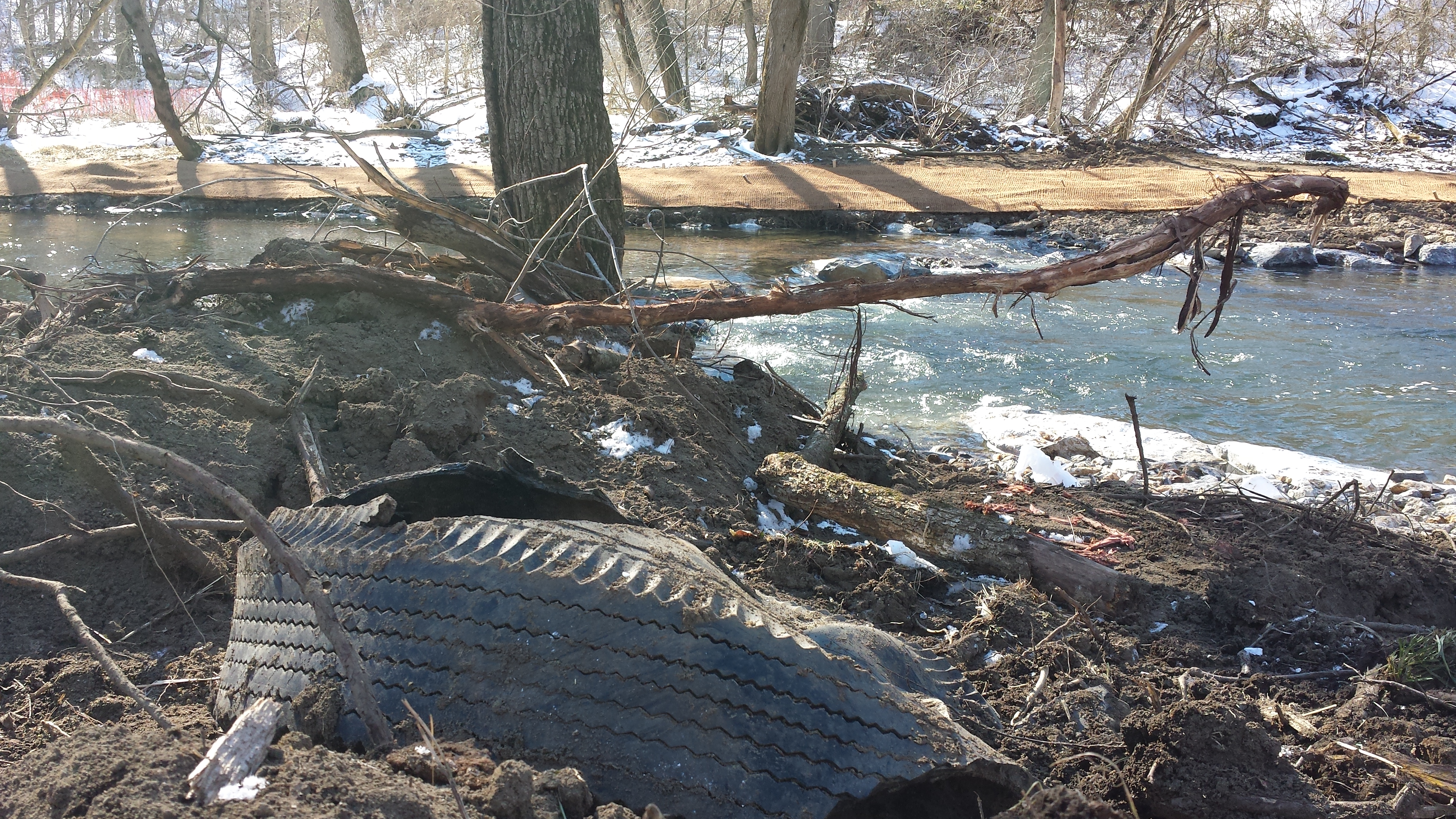
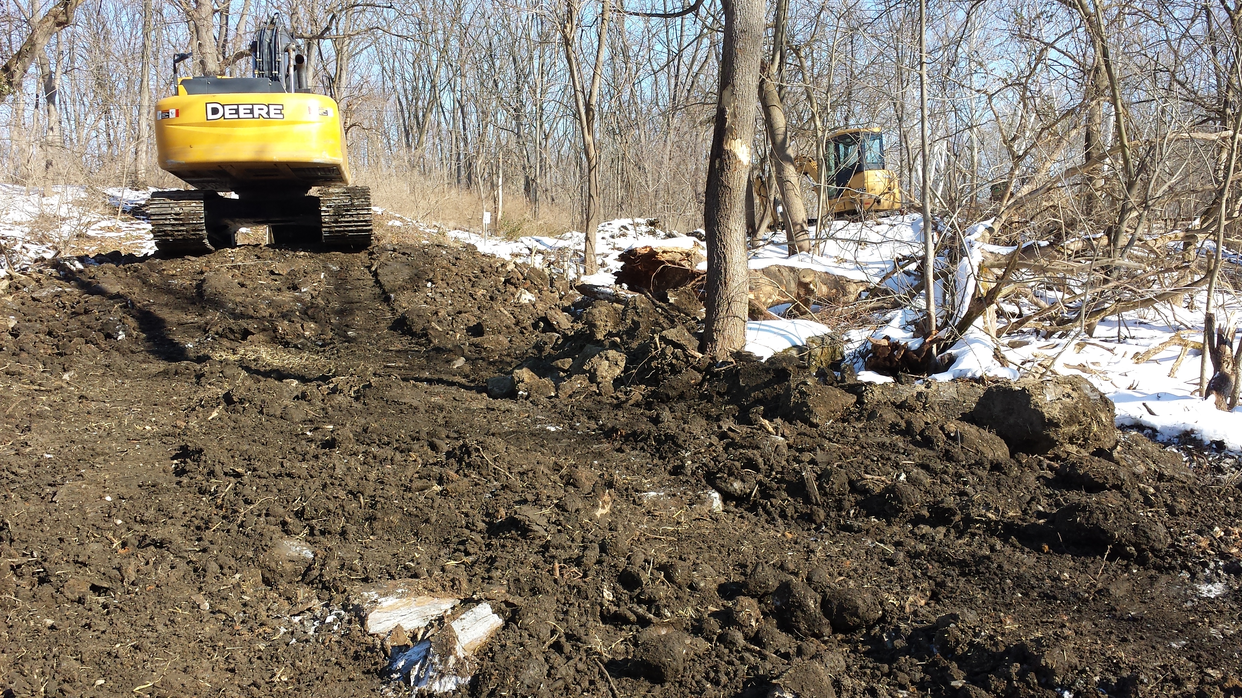
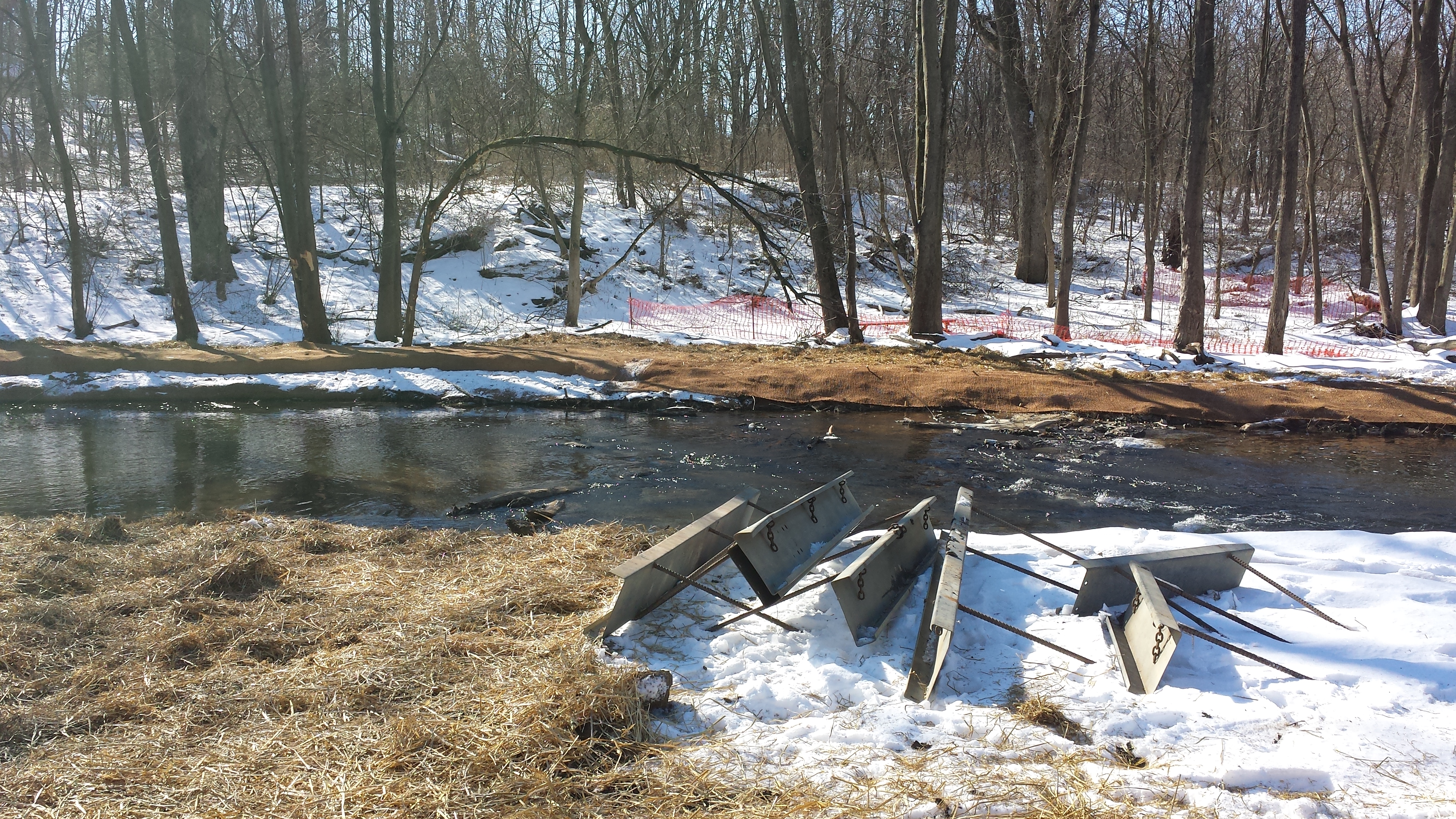
Walking fifty yards or so downstream we traverse a muddy bulldozed landscape, with freshly churned earth & stone & uprooted trees, piles of boulders & cleared debris next to well-traveled pathways into the creek & heavy equipment parked nearby. On the day these photos were taken (Sat Jan 31) the ground was blessedly frozen & the air a sultry 28° F. Note the rows of boulders spanning the creek, and the alternating shallow riffles & deeper pools, optimal habitat for trout & other aquatic wildlife.

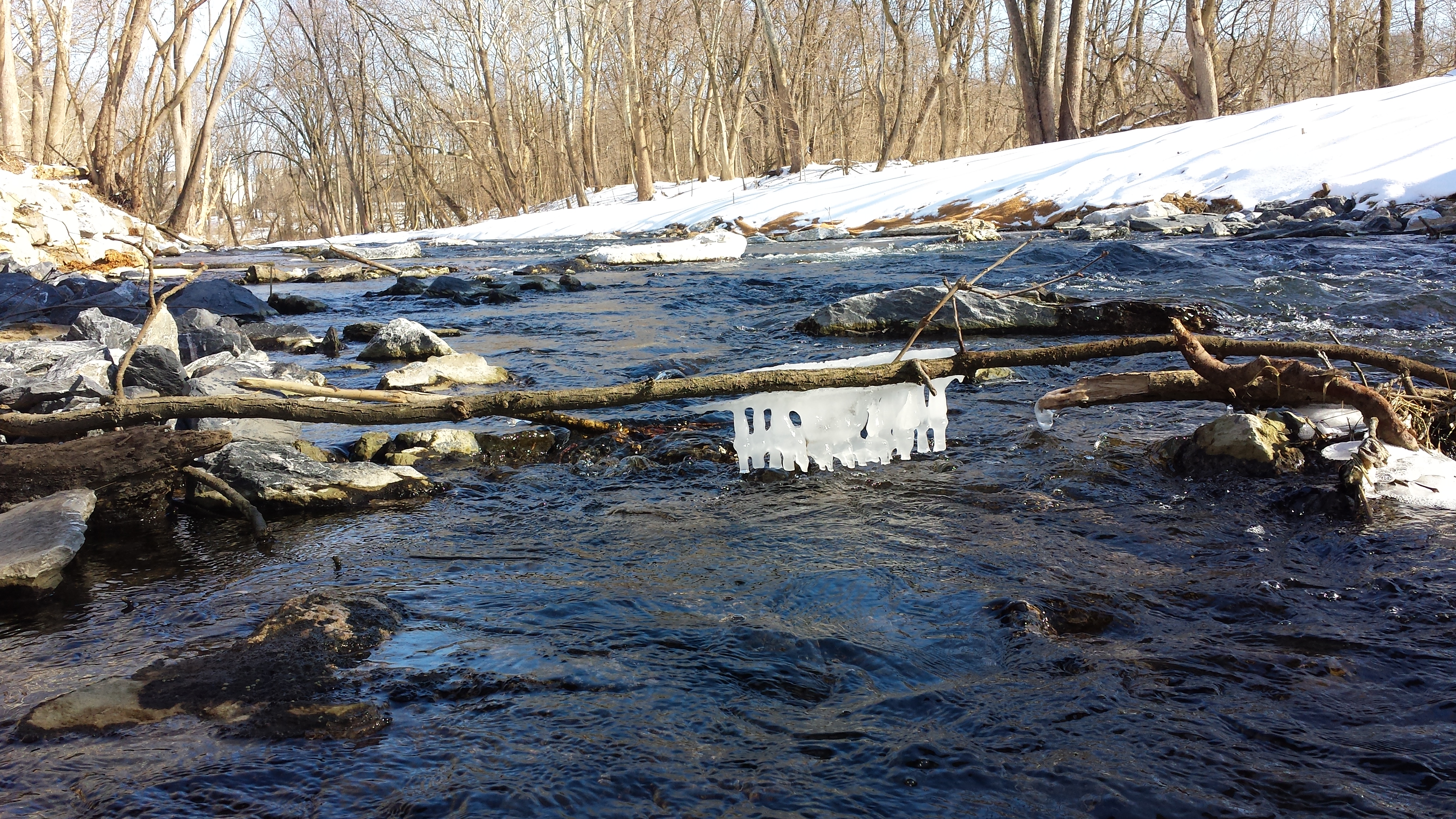
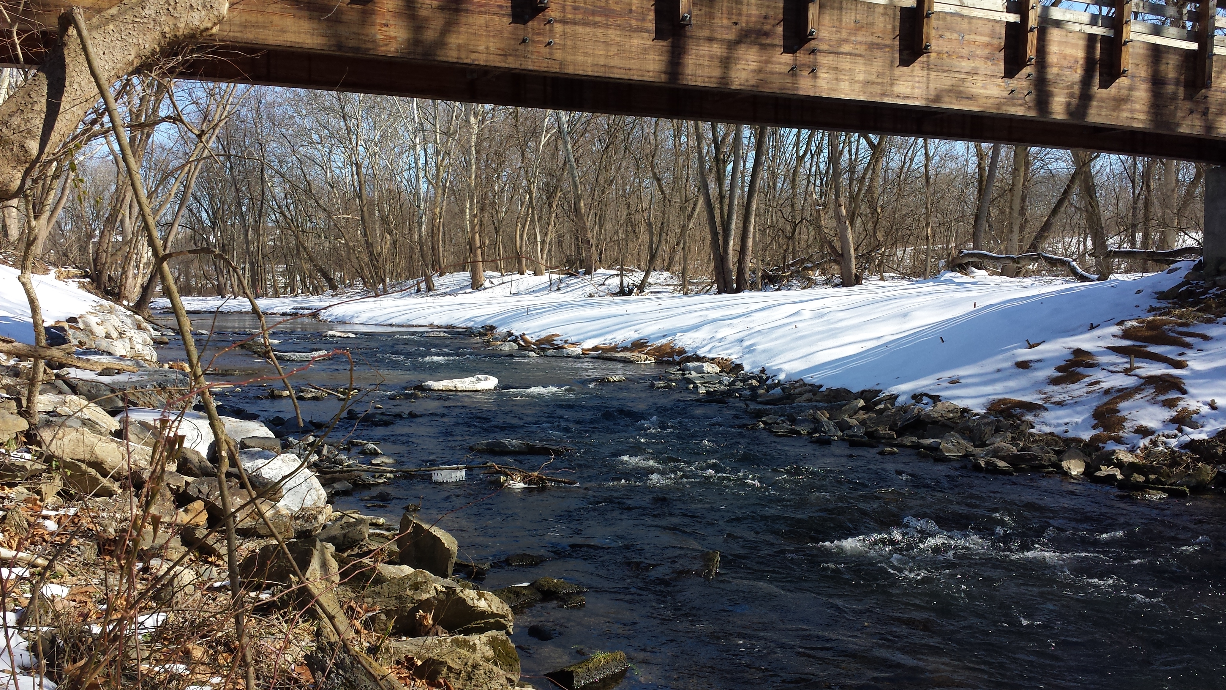
Above: icicles form on a stick under the Swingholm Pedestrian Bridge, with the restored south bank at right.
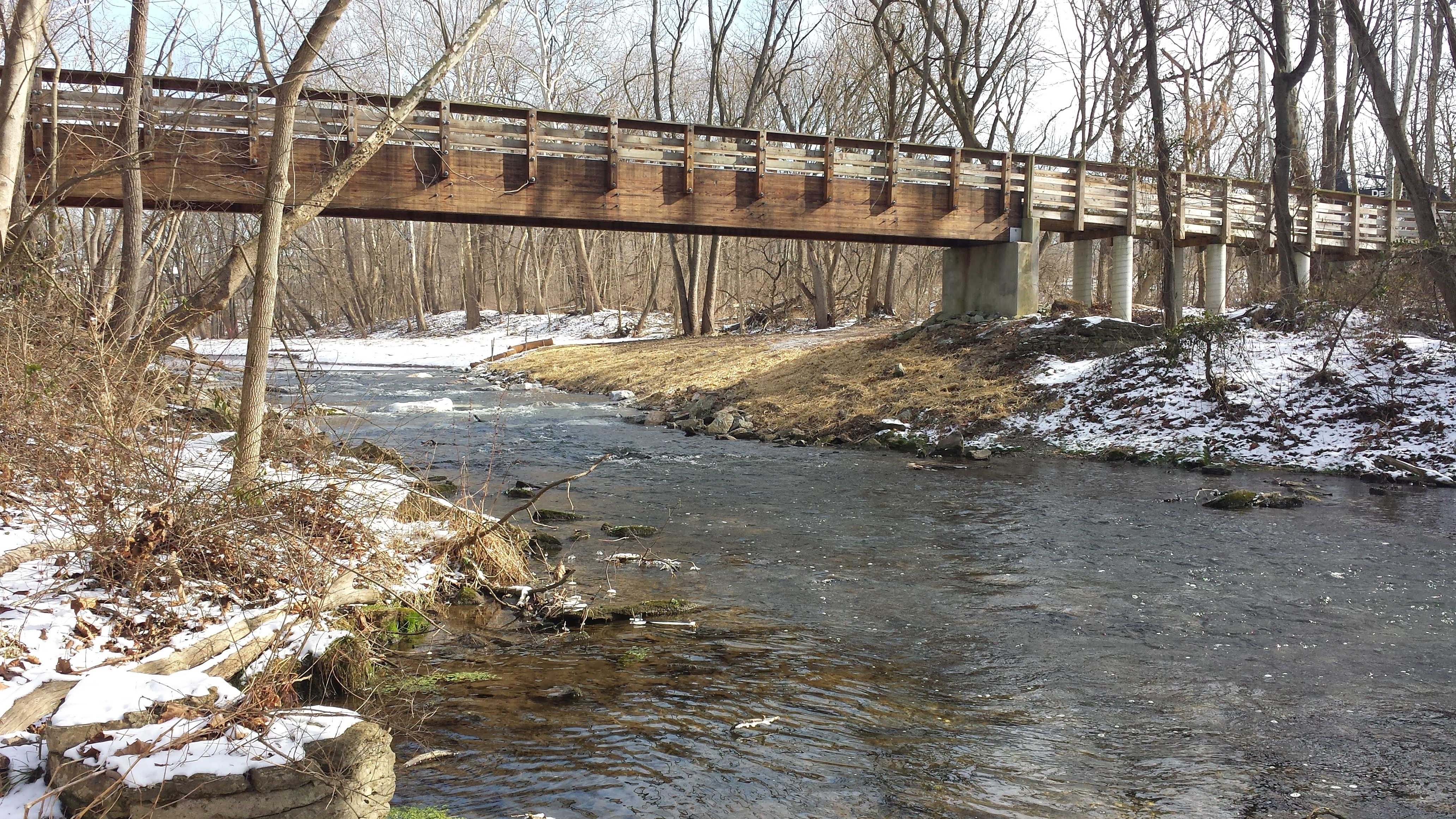
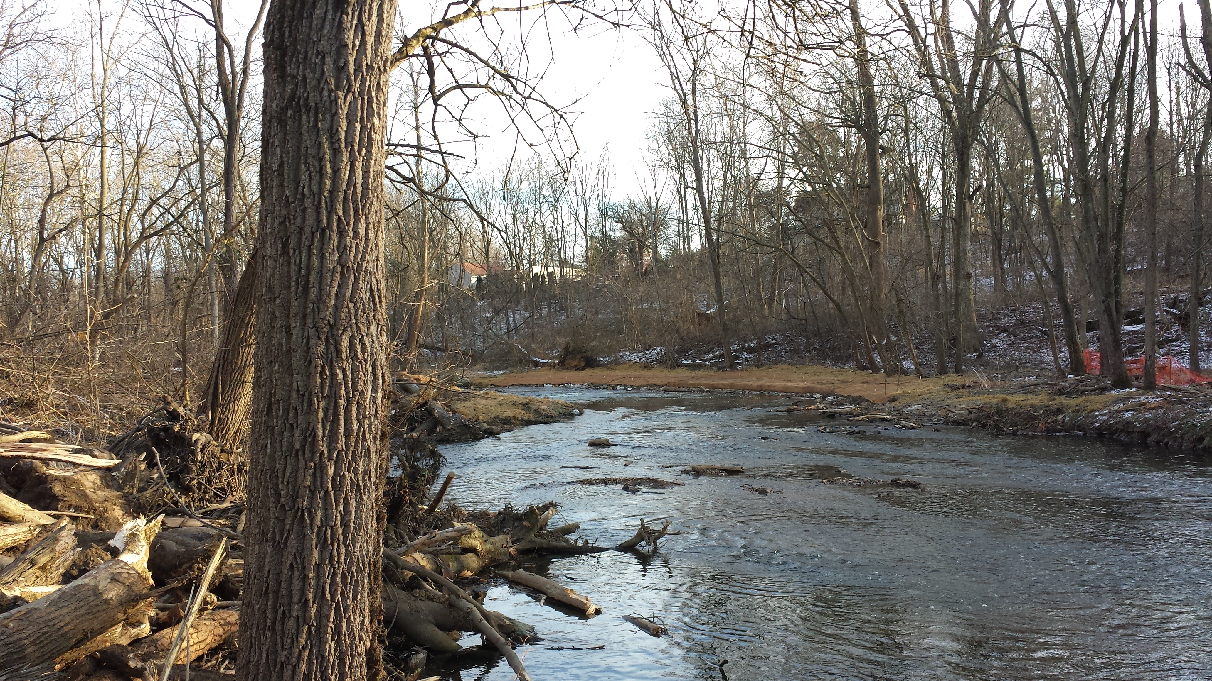
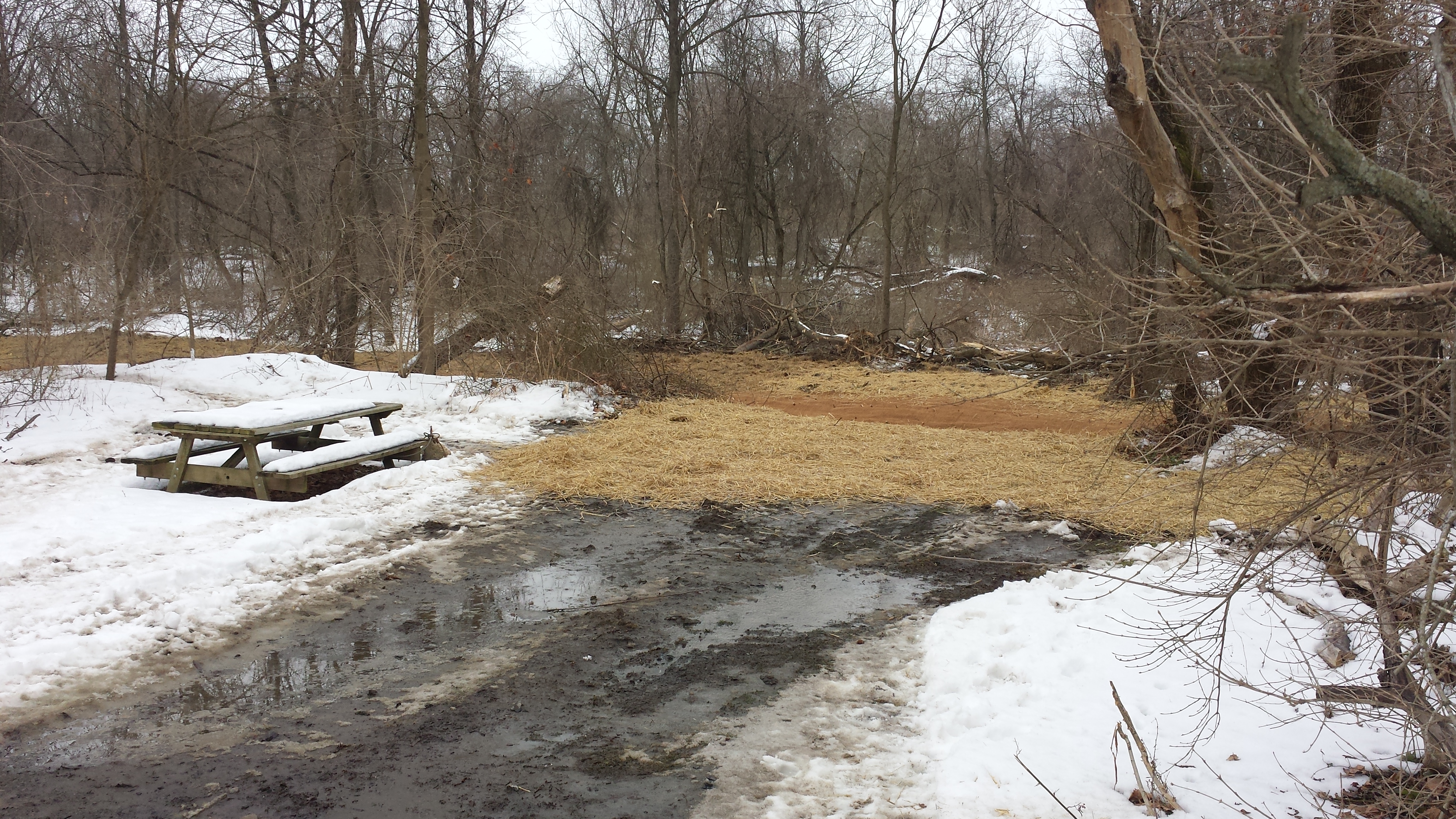
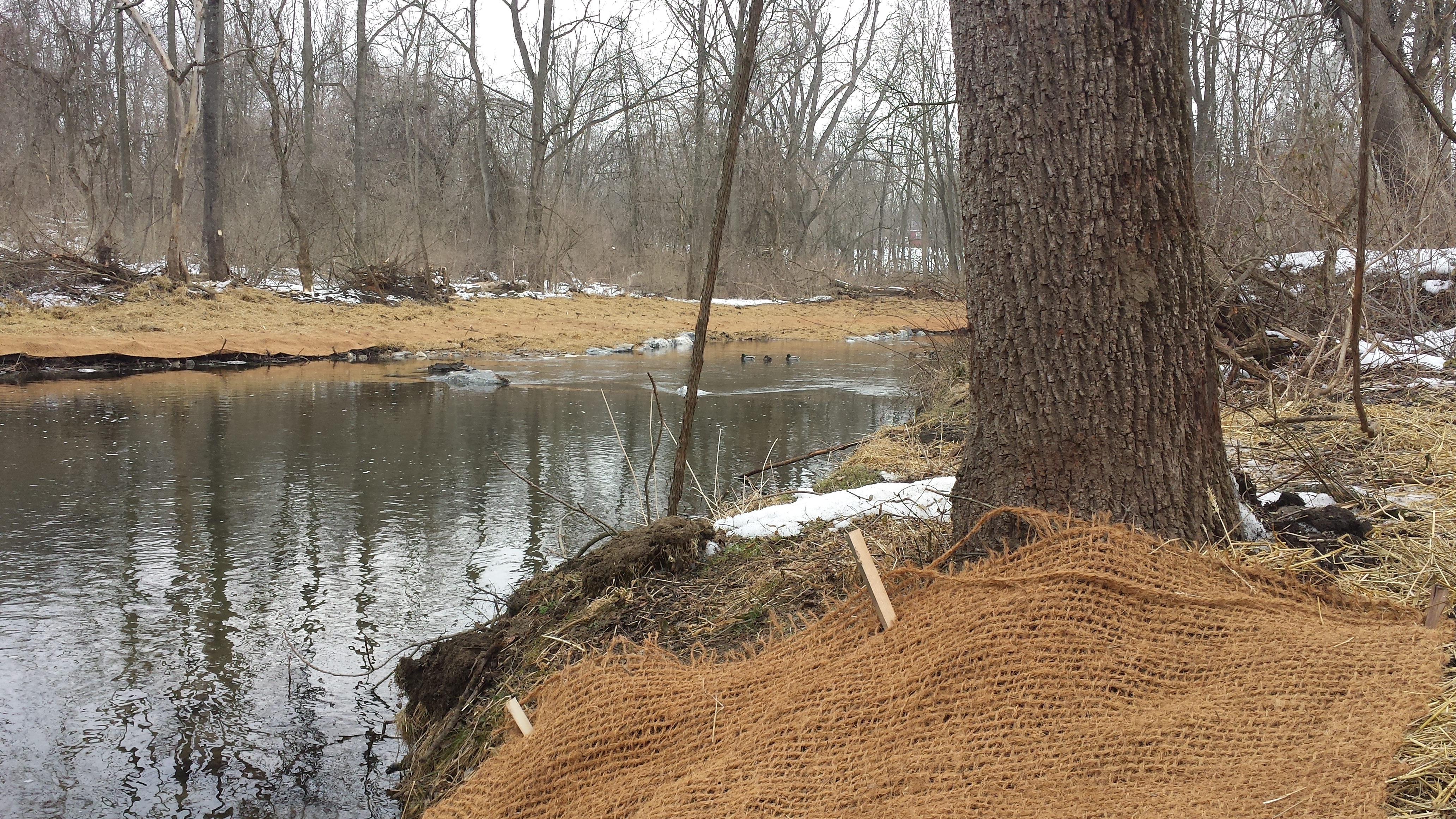
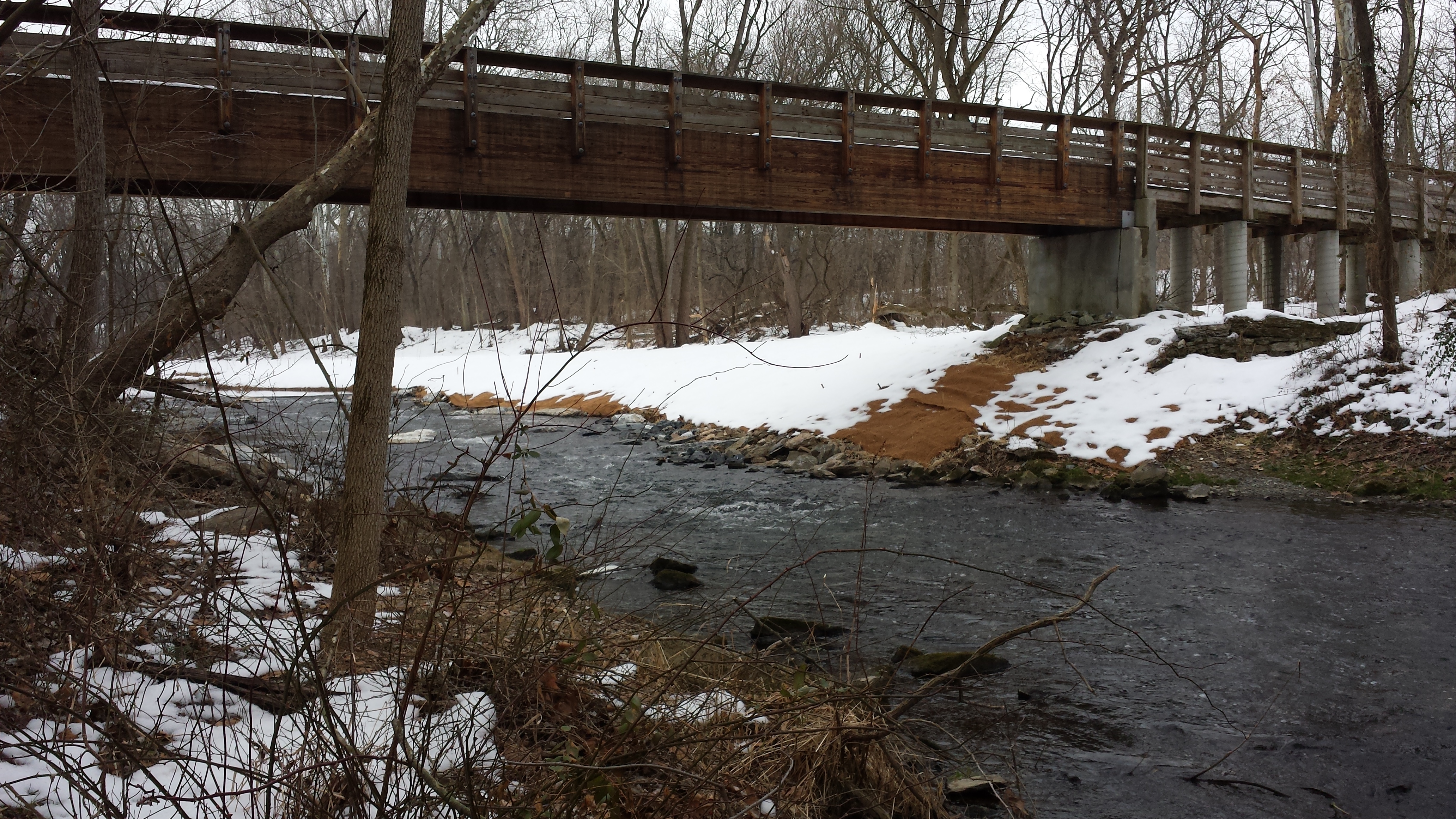
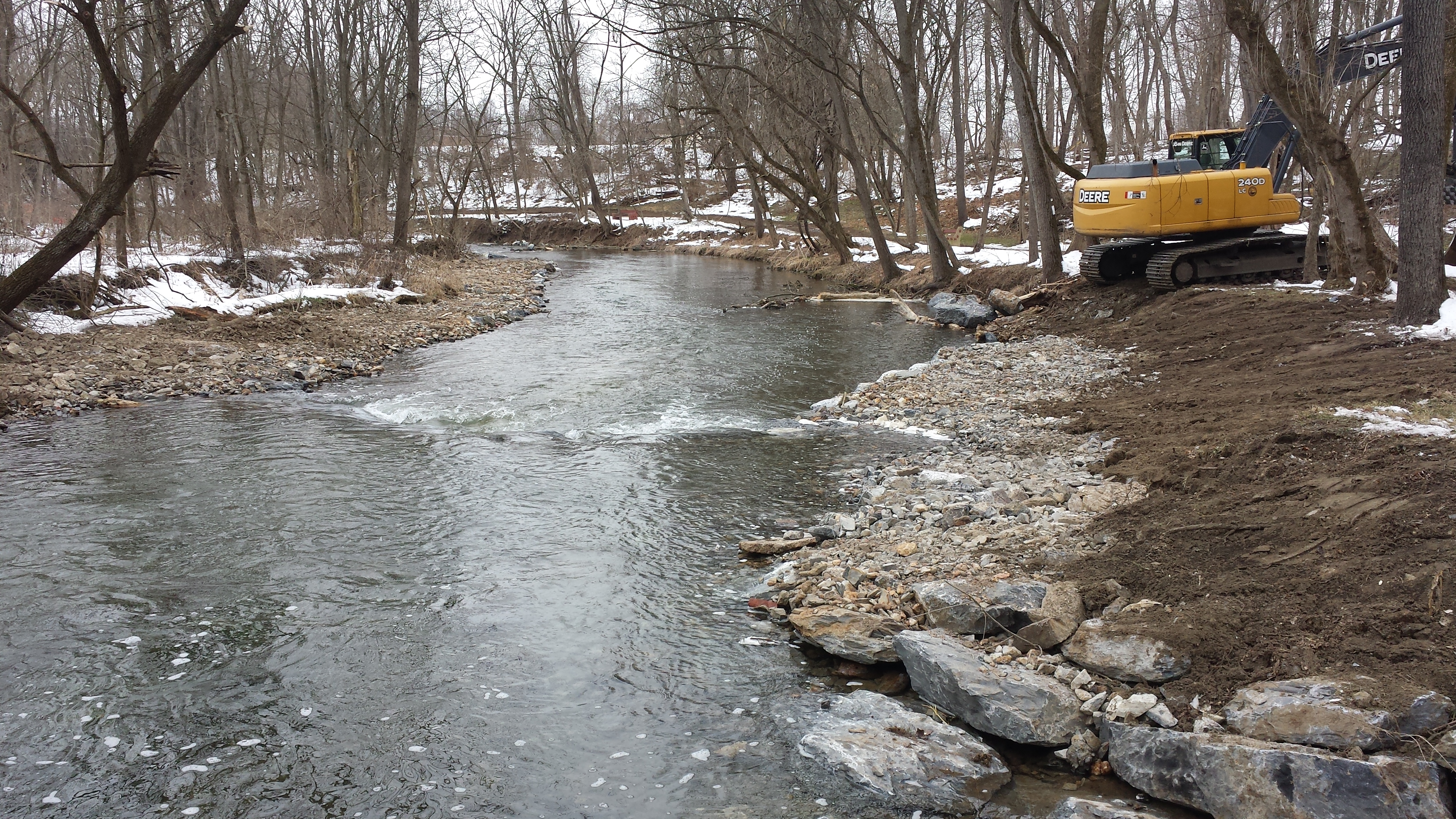
Week 13: February 2-6, 2015
 Tremendous progress this week on both
banks -- the south bank perhaps 500 feet
additional length, the north bank maybe 300 -- and
now nearly within throwing distance of Stumpy's
Little Footbridge. Lots of brush trees taken
down, both banks wholly reshaped & blanketed with
live-staked geotextile fabric & straw, the flow of
the creek narrowed & rechanneled, alternating pools
& riffles created, native trees & shrubs planted.
The project is really coming along. All photos
taken on Sun Feb 8, including at right, from atop
Lime Kiln Hill.
Tremendous progress this week on both
banks -- the south bank perhaps 500 feet
additional length, the north bank maybe 300 -- and
now nearly within throwing distance of Stumpy's
Little Footbridge. Lots of brush trees taken
down, both banks wholly reshaped & blanketed with
live-staked geotextile fabric & straw, the flow of
the creek narrowed & rechanneled, alternating pools
& riffles created, native trees & shrubs planted.
The project is really coming along. All photos
taken on Sun Feb 8, including at right, from atop
Lime Kiln Hill.
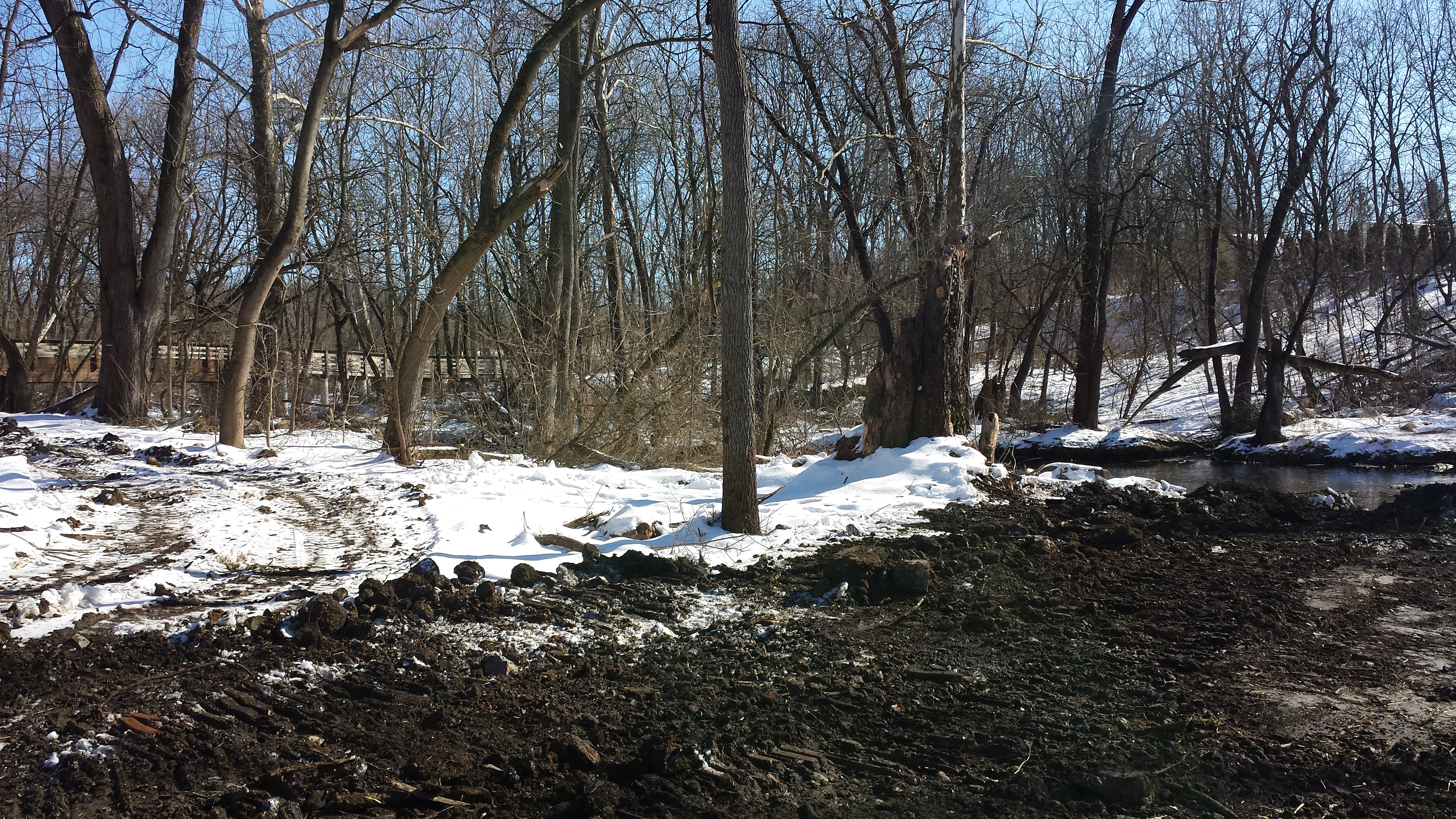
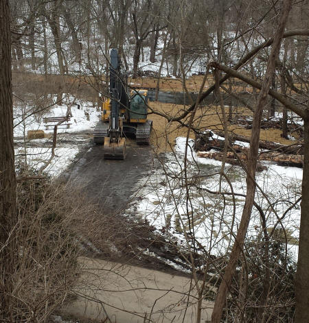
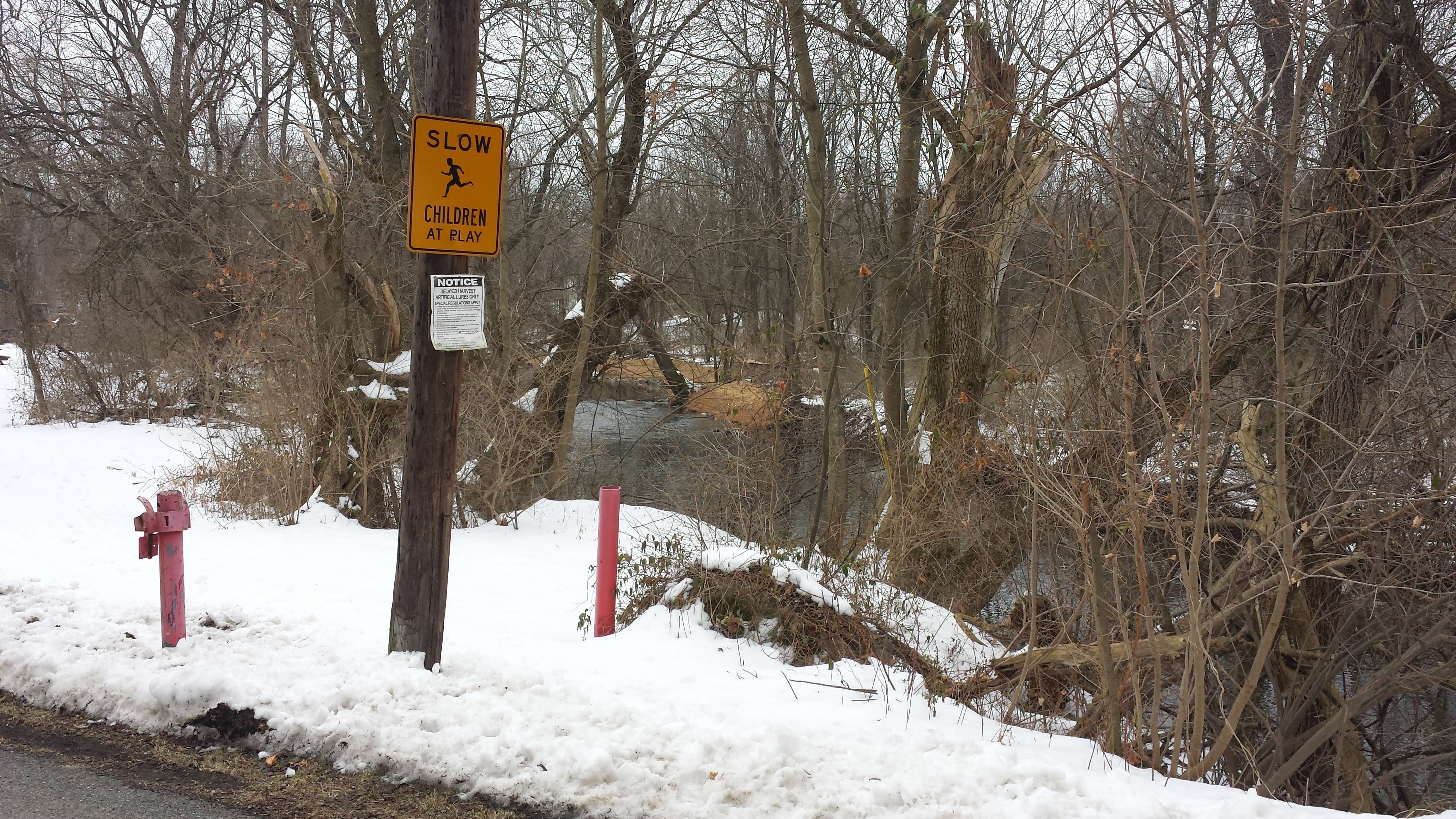
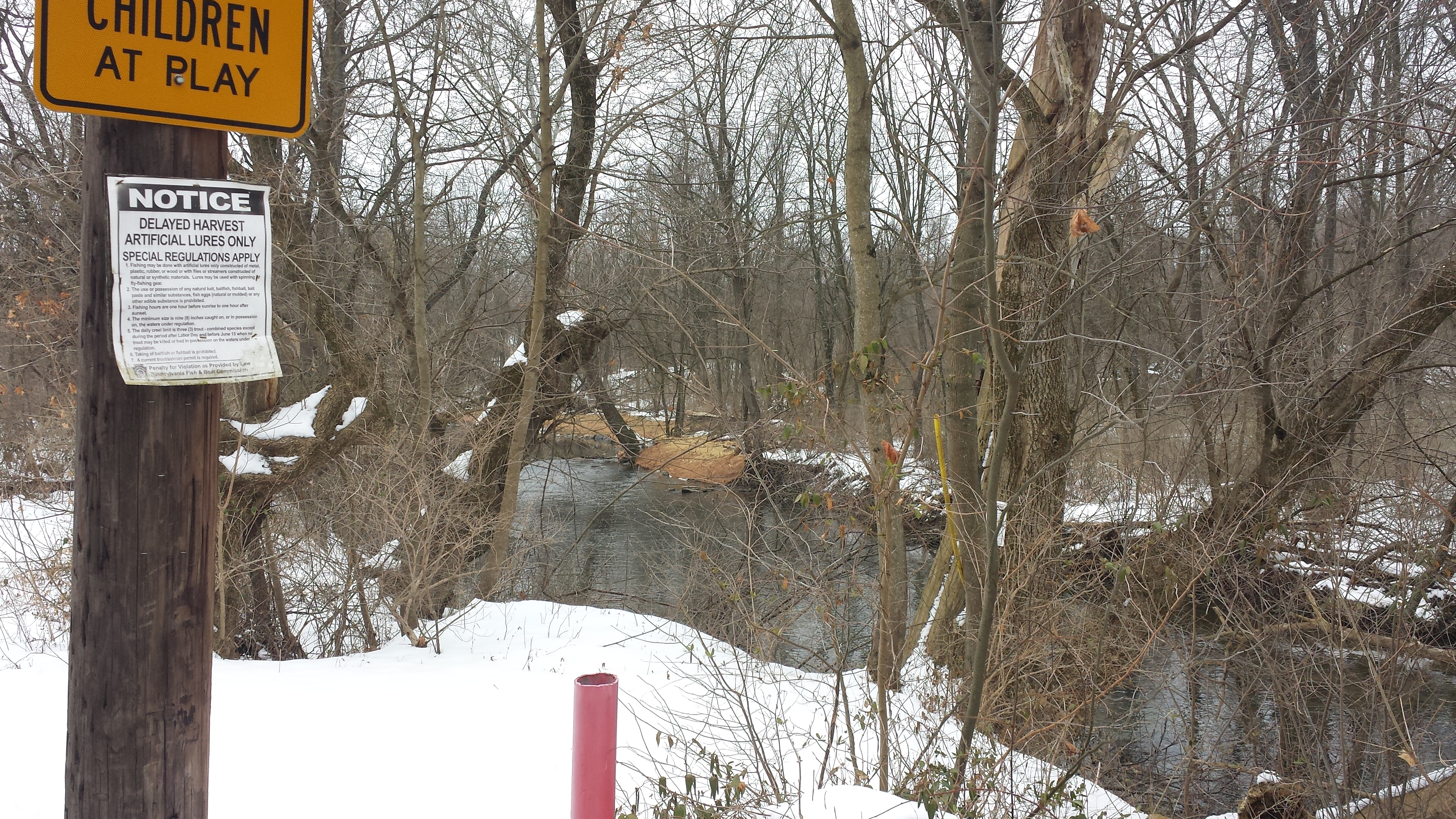
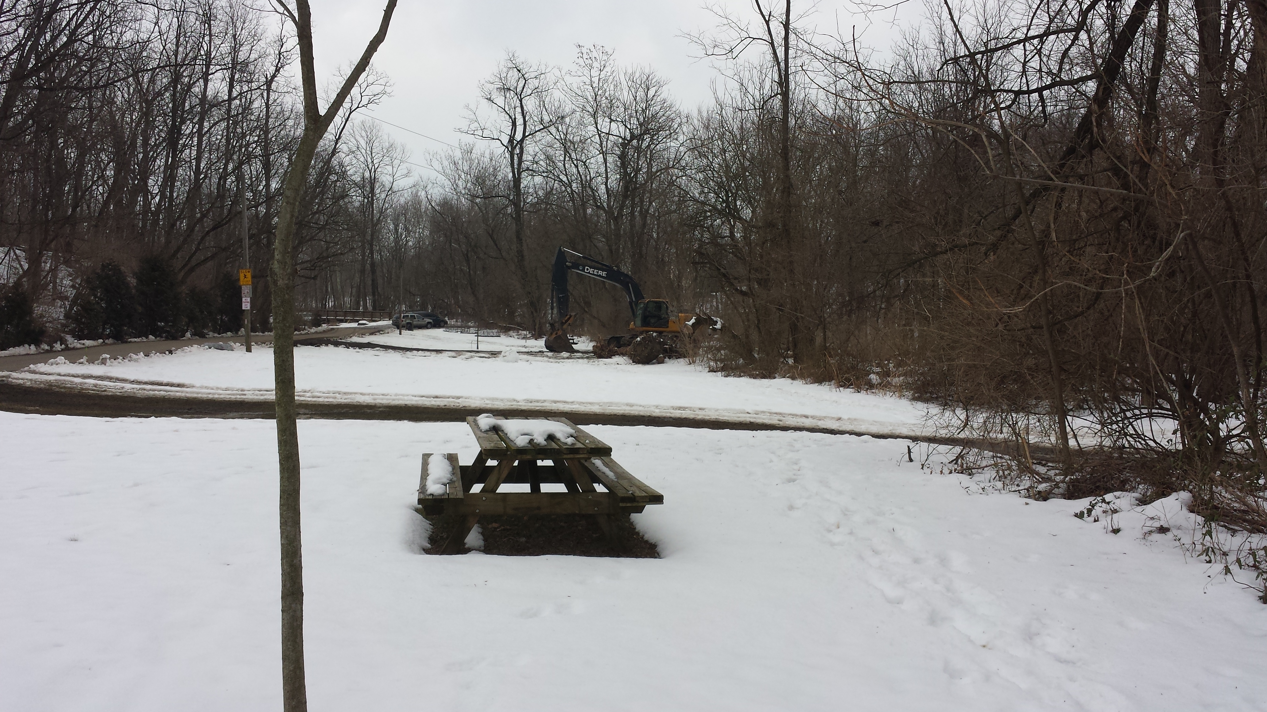
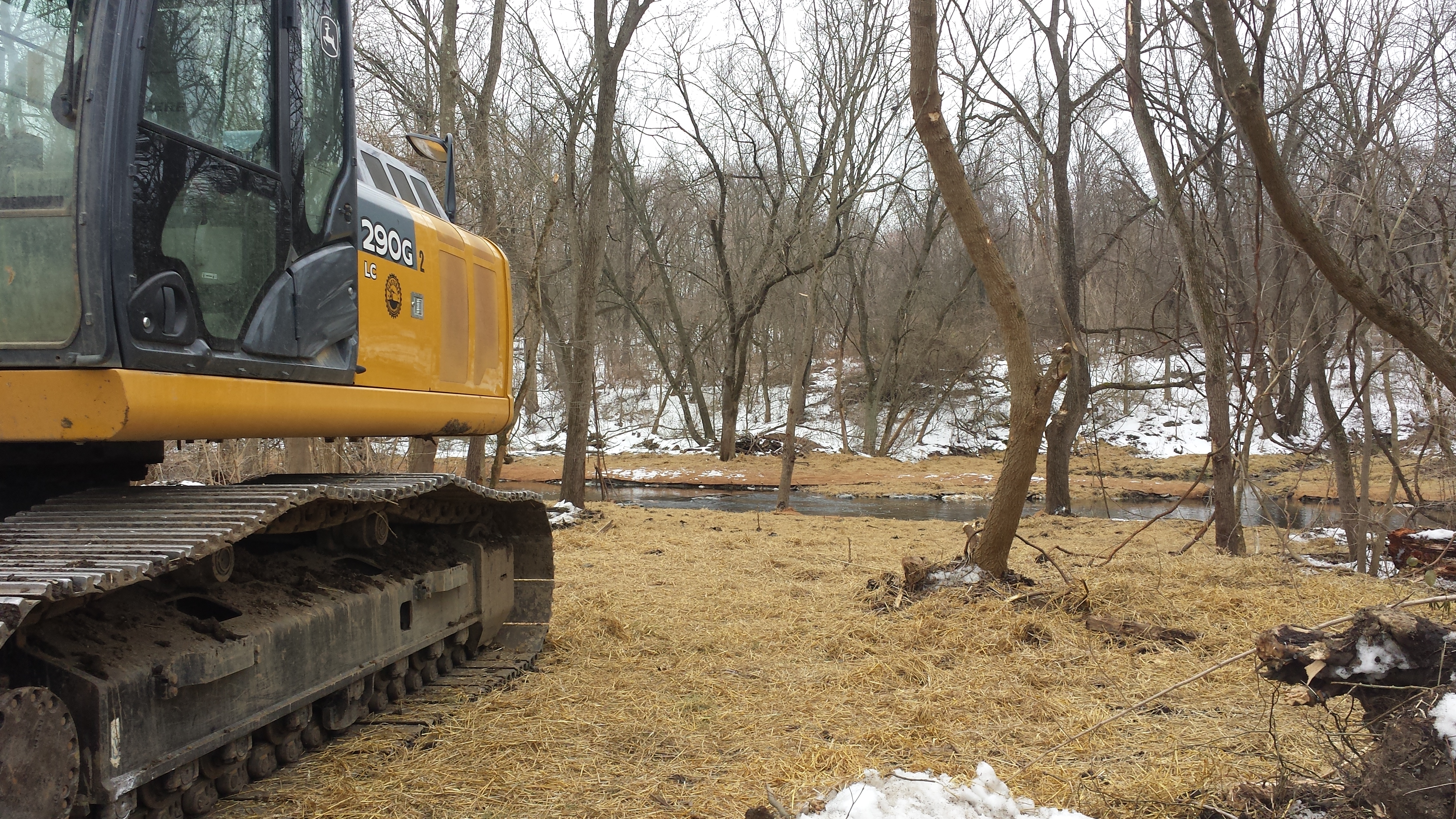
The photos in the first row below start with a familiar landmark -- the entrance to the Nature Park along Bachman Road, where the "Children Playing" sign stands. In the background we glimpse the work performed on the opposite (south) bank. In the second photo we move closer to the creek. In the 3rd & 4th we've walked ahead a bit to get right next to the creek, and first look upstream (3rd photo), and then pivot & look downstream toward Stumpy's Little Footbridge (4th). In the 5th photo, we continue walking into the park and see the two pathways to the creek for all the heavy equipment needed for the work. In the 6th photo we see one piece of that heavy equipment resting silently on this lovely Sunday afternoon.
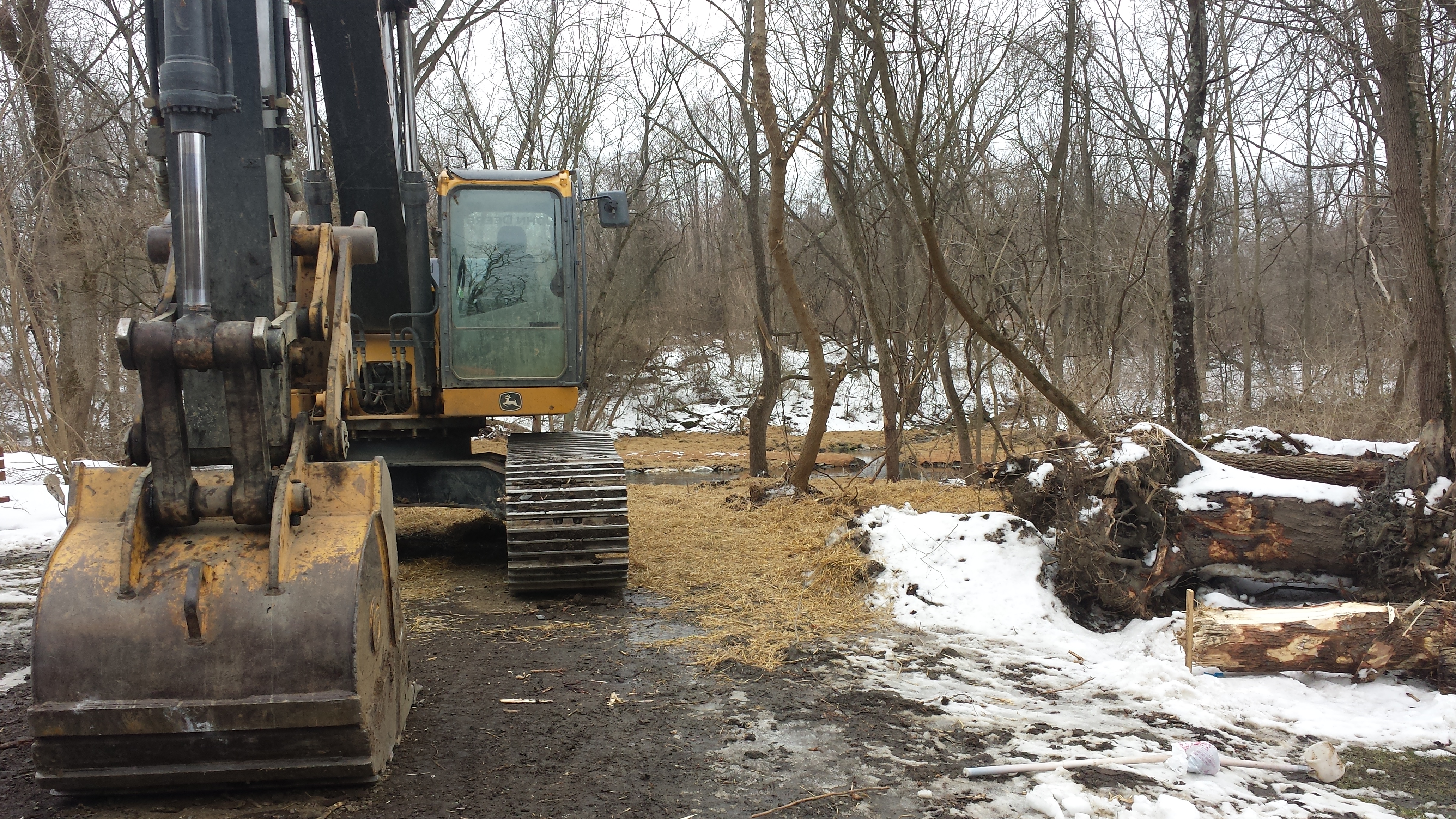
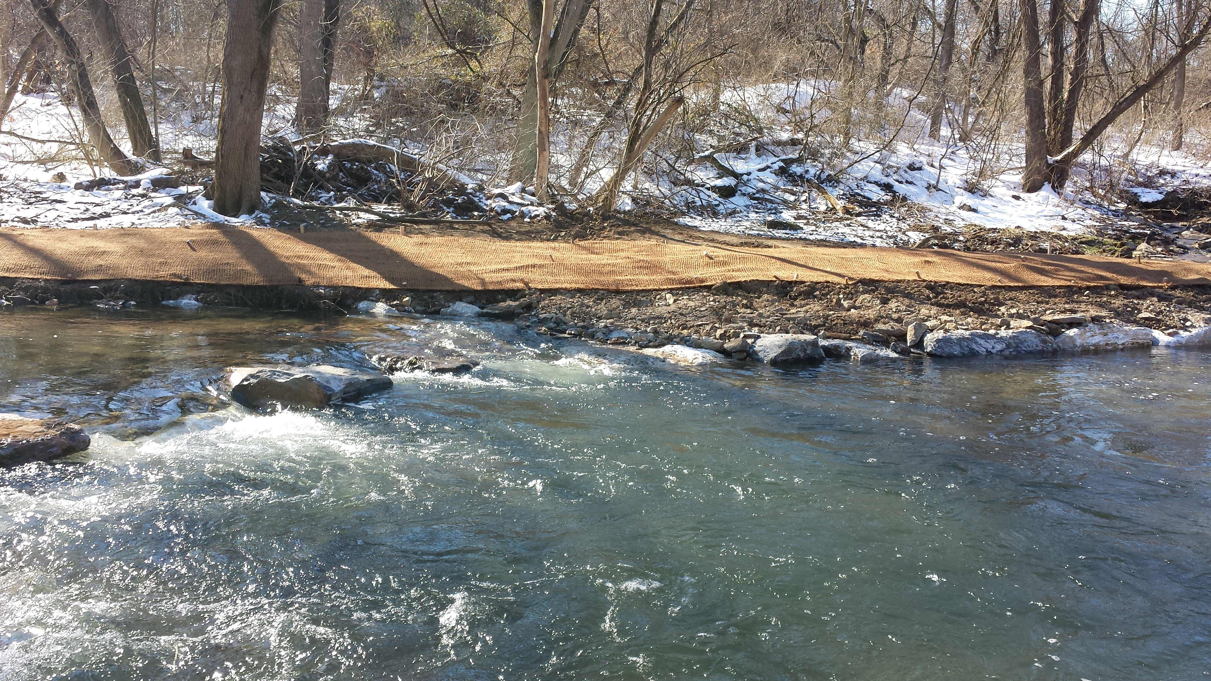
In the series of ten photos below, we continue walking along the north bank toward the Pedestrian Bridge and see the dramatic changes of the past weeks. In the first photo we pause and look east toward the "Welcome" sign and quarry beyond. In the 2nd photo we pivot & look west toward the creek. In the 3rd we stand next to the creek & look across. In the 4th, 5th & 6th we continue walking south toward the Pedestrian Bridge. In the next row of photos, the 7th photo looks back downstream. Here we hit a dead-end walking, so we go back up the first equipment trail & down to the next mud pathway forged by these giant earth-moving machines. In the 8th photo we stand next to the picnic table & look back toward the "Welcome" sign on Bachman Rd; in the 9th we pivot to look toward the creek. In the 10th we look past the gigantic black & yellow John Deere 290G Excavator; in the 11th, downstream; and in the 12th, straight across to the exquisitely channeled spring on the opposite bank.
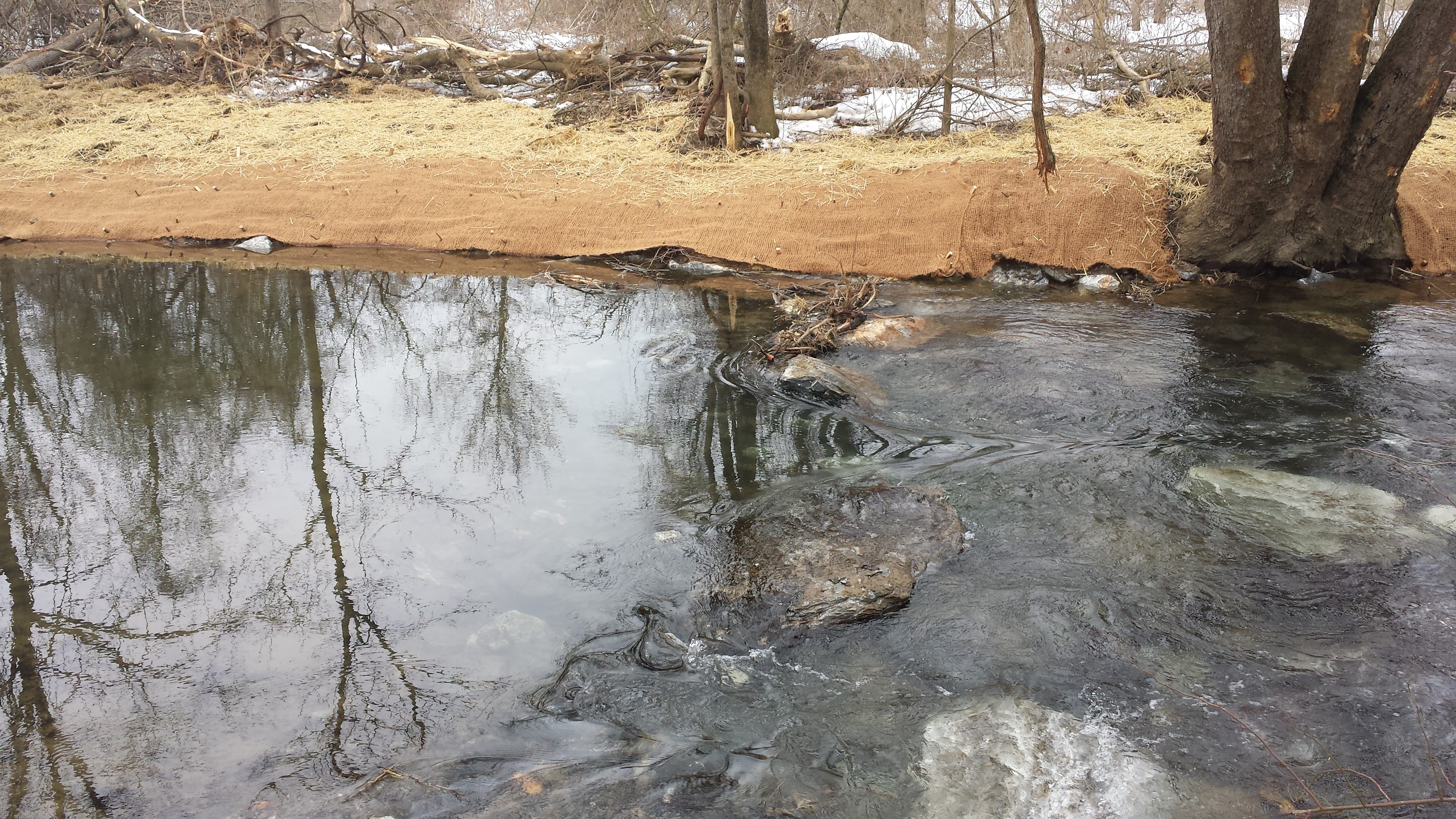
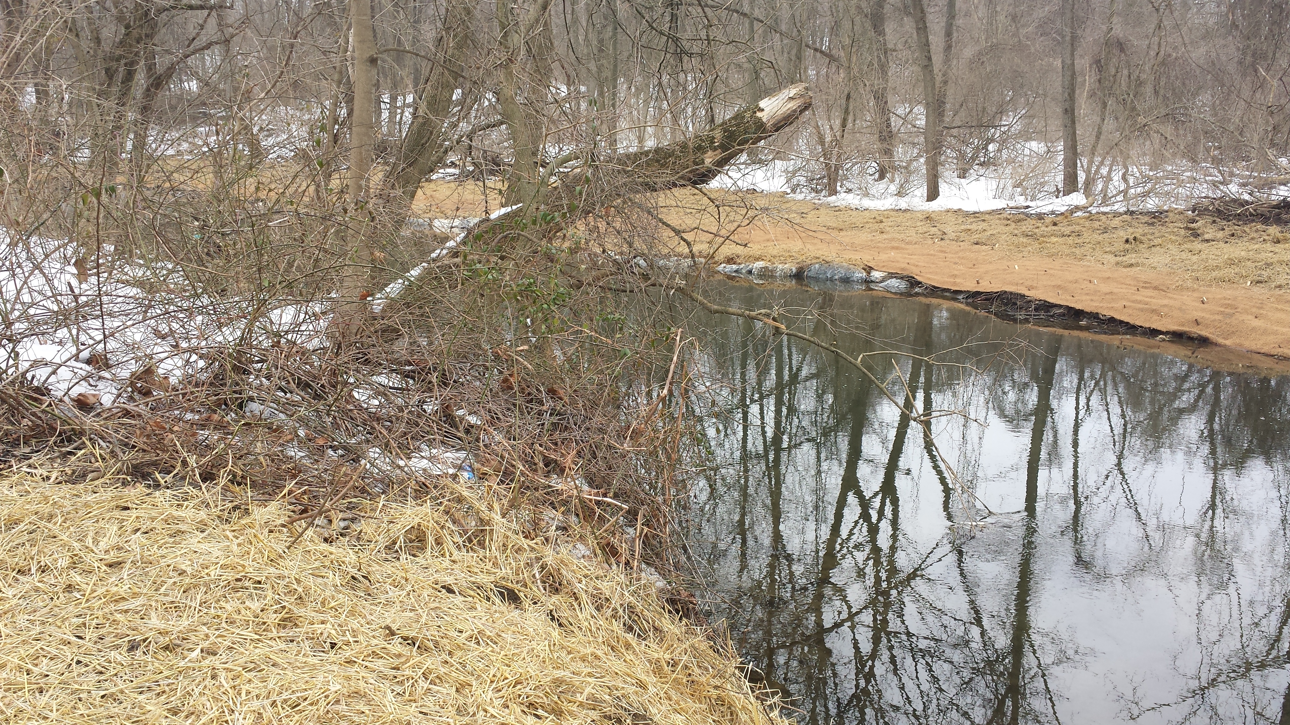
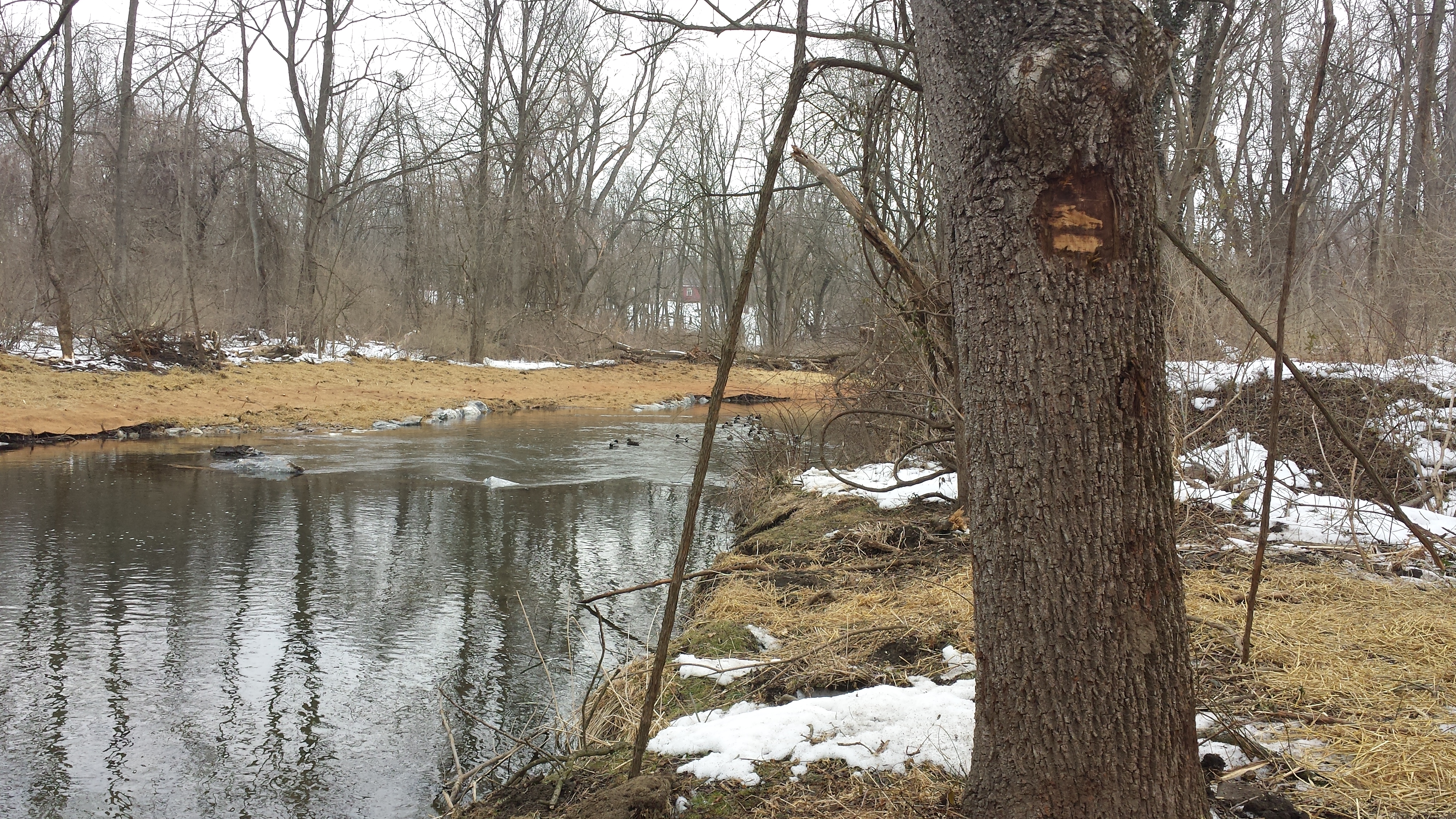
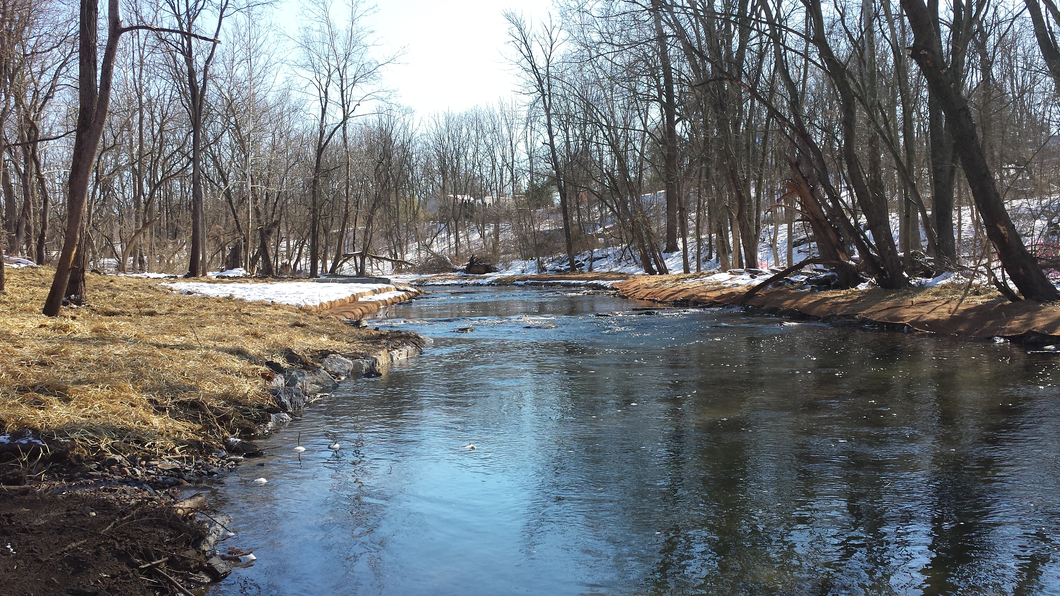
In the final ten photos below we continue our walk toward the Pedestrian Bridge. In the first we see the house on the hill in the background and both banks totally reshaped. The channel is narrowed, with alternating deep pools and riffles created by rows of giant boulders spanning the creek, with just enough space between to permit passage of kayaks & canoes. The 2nd photo shows the built-up south bank, and the 3rd looks back downstream to the riffles we just passed and a staked roll of geotextile fabric. The 4th looks offers a closer look at the freshly-channeled spring, and the 5th of the freshly terraced, coir-fabricked & live-staked north bank we're walking on. The 6th gives a closer view of the live-staked terraces, as does the 7th in the next row. The 8th looks back downstream; the 9th a little further upstream, with the Pedestrian Bridge in the distance at left. The 10th looks back downstream again; the 11th under the bridge; and the 12th & 13th our classic views from atop the bridge. The 12th looks upstream, where not much has changed in recent weeks, and the 13th looks downstream, where much has changed -- though not the 40-yard section immediately downstream of the bridge, on both banks, which has been left untouched.
![]()
Week 13 Synopsis: Great strides forward! Next stop: Stumpy's Little Footbridge!
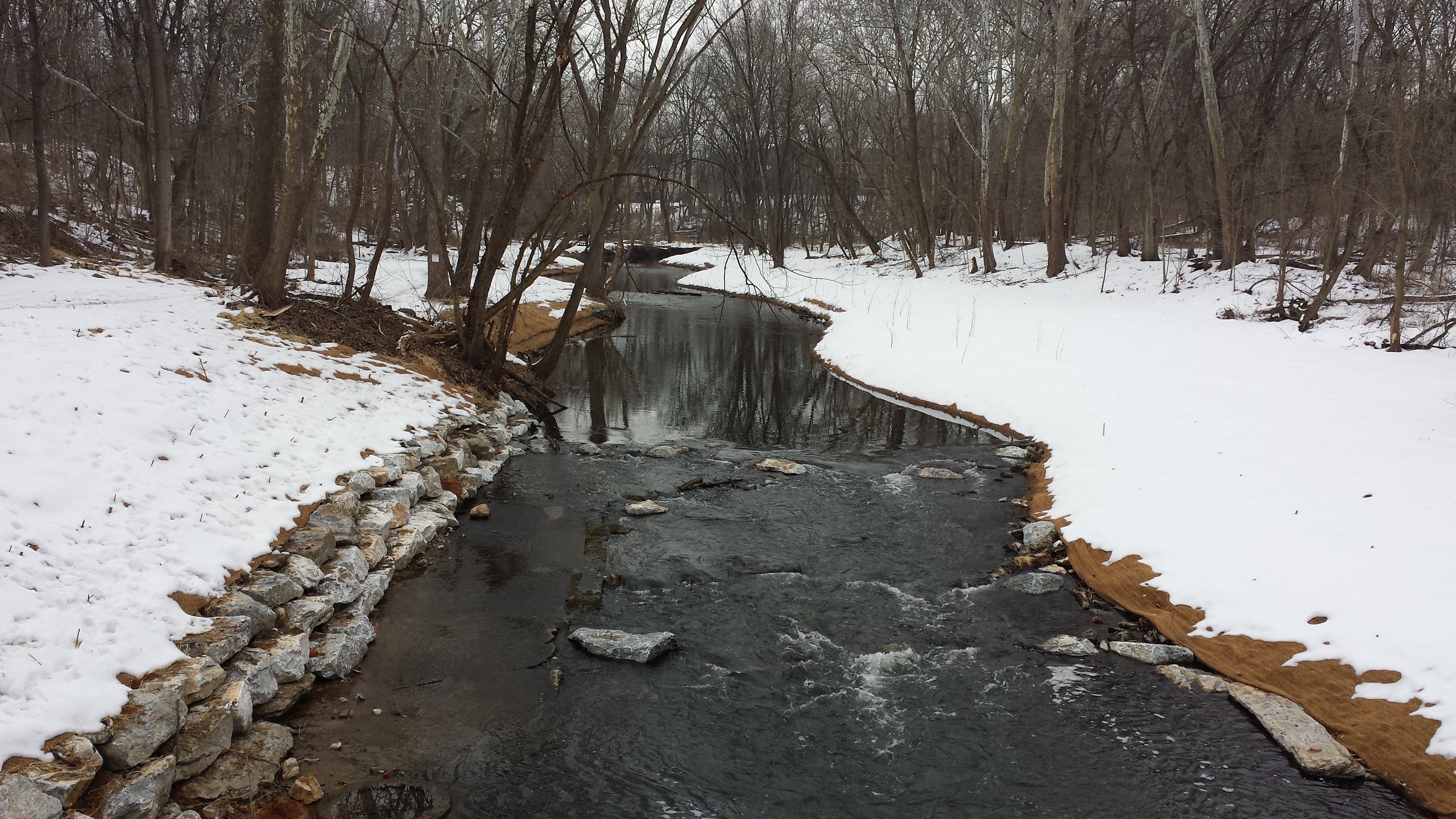
Week 14: February 9-13, 2015
 Tremendous progress this week
as well, on both banks upstream & downstream from
Stumpy's Little Footbridge (its corner peeking out
from behind the tree trunk in the photo at right).
Tremendous progress this week
as well, on both banks upstream & downstream from
Stumpy's Little Footbridge (its corner peeking out
from behind the tree trunk in the photo at right).
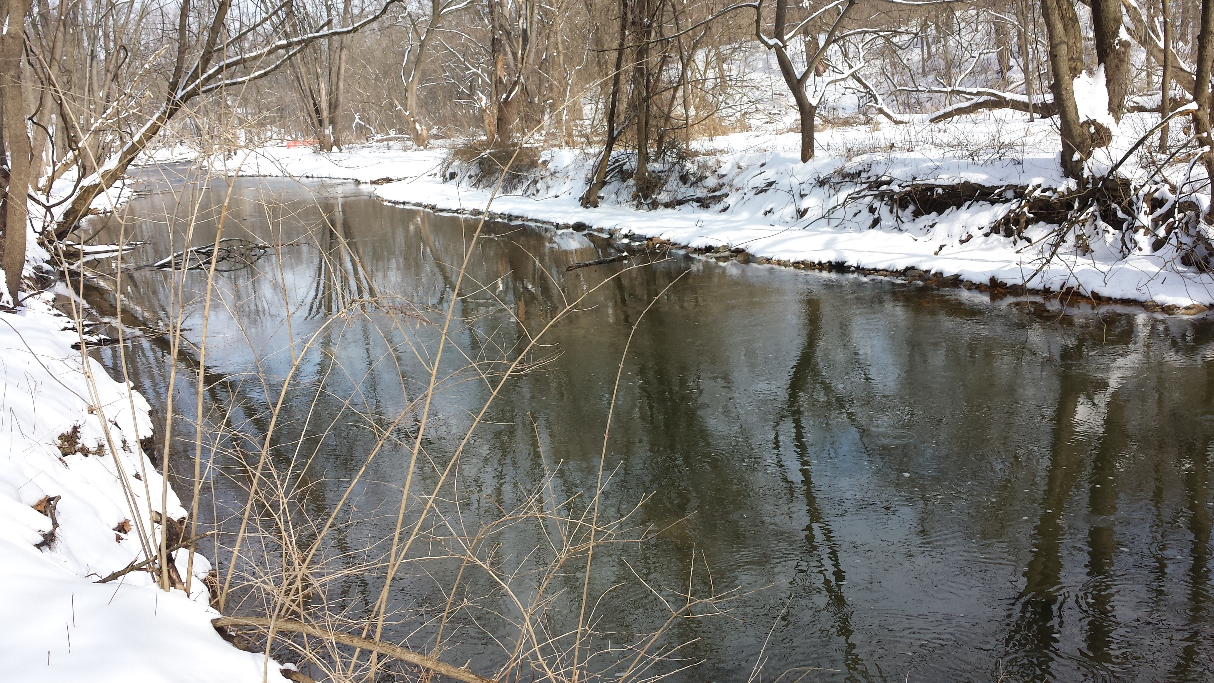
The first photo in the sequence below is where our picture-taking stroll starts on this afternoon of Sat Feb 14, heading upstream on the north bank but turning around & looking back toward Stumpy's house on East High St. This is the trail the heavy equipment has been following. The second photo looks straight across the creek at a reconstructed spring, and the third looks upstream, the direction we're heading. The 4th photo gets closer to the work on the south bank, and the fifth shows the work continuing upstream. As can be seen, the restoration work on the south bank has extended about 500 yards downstream of the Little Footbridge.
In the first three photos below we're poking around the unnamed tributary flowing under Stumpy's Little Bridge. In the fourth & final photo we're about 150 feet upstream of the Little Bridge, along the Bachman Rd. section, looking downstream. The photo shows substantial work on the south bank, and none on the north bank in this section.
.
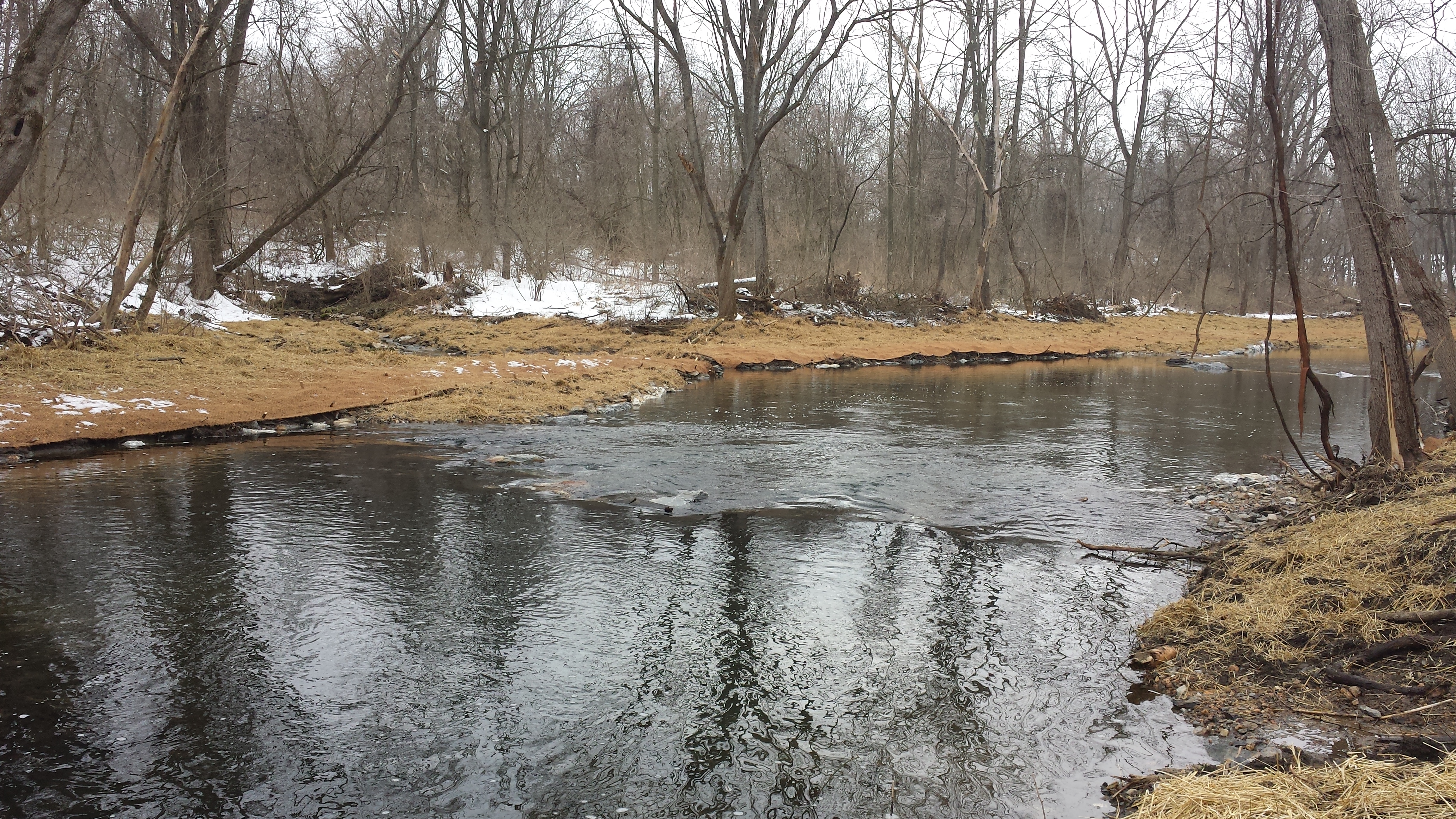
Week 15: February 16-19, 2015: Phase 1 Mostly Complete!
 "Creek update the first phase is
finished," announced a text message
from Paul Graham at 9:58 AM on Thurs Feb 19.
"They hope to be able to do the next phase in
spring." He doubtless just got the news from
Lee Irwin.
"Creek update the first phase is
finished," announced a text message
from Paul Graham at 9:58 AM on Thurs Feb 19.
"They hope to be able to do the next phase in
spring." He doubtless just got the news from
Lee Irwin.
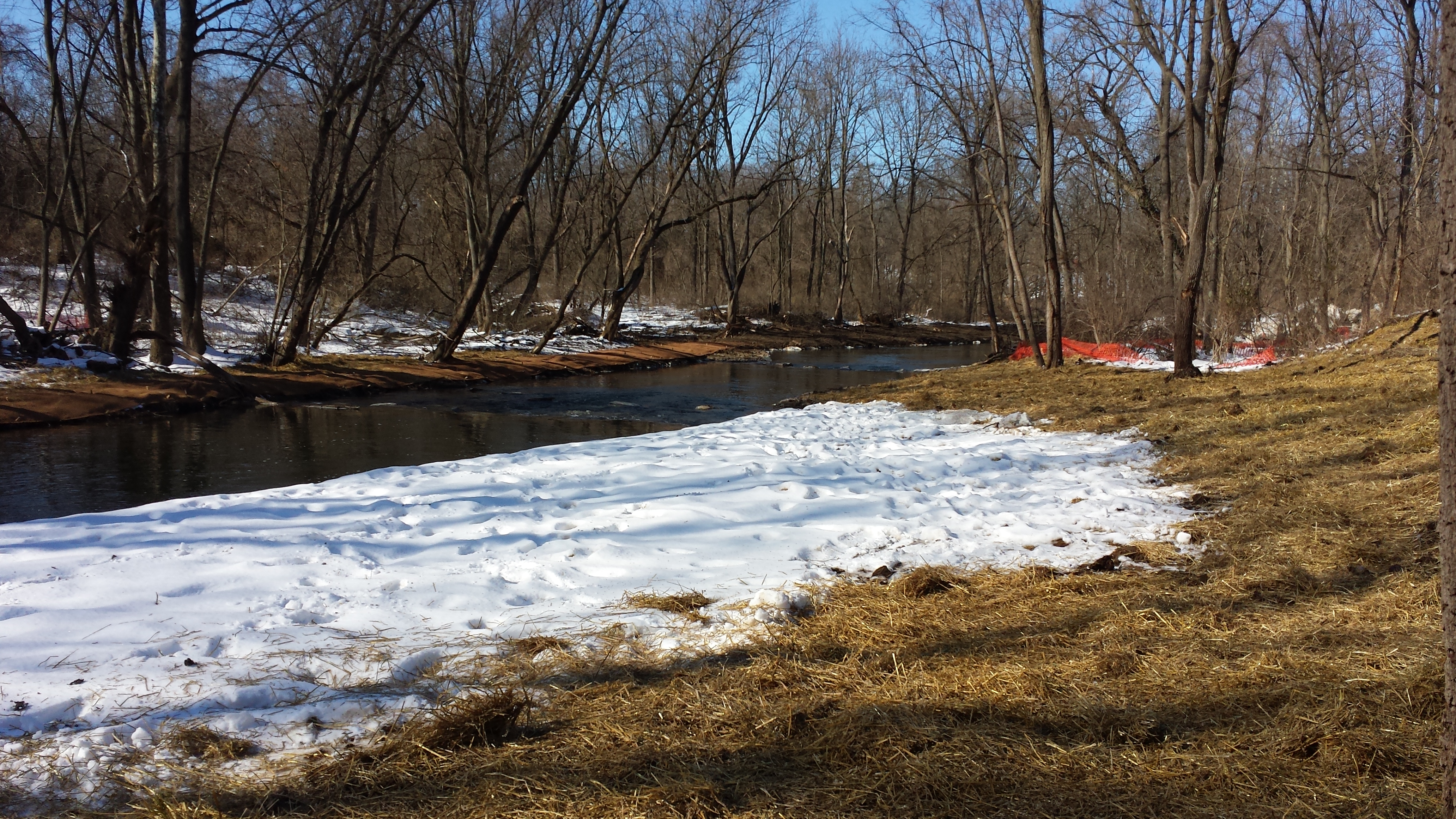
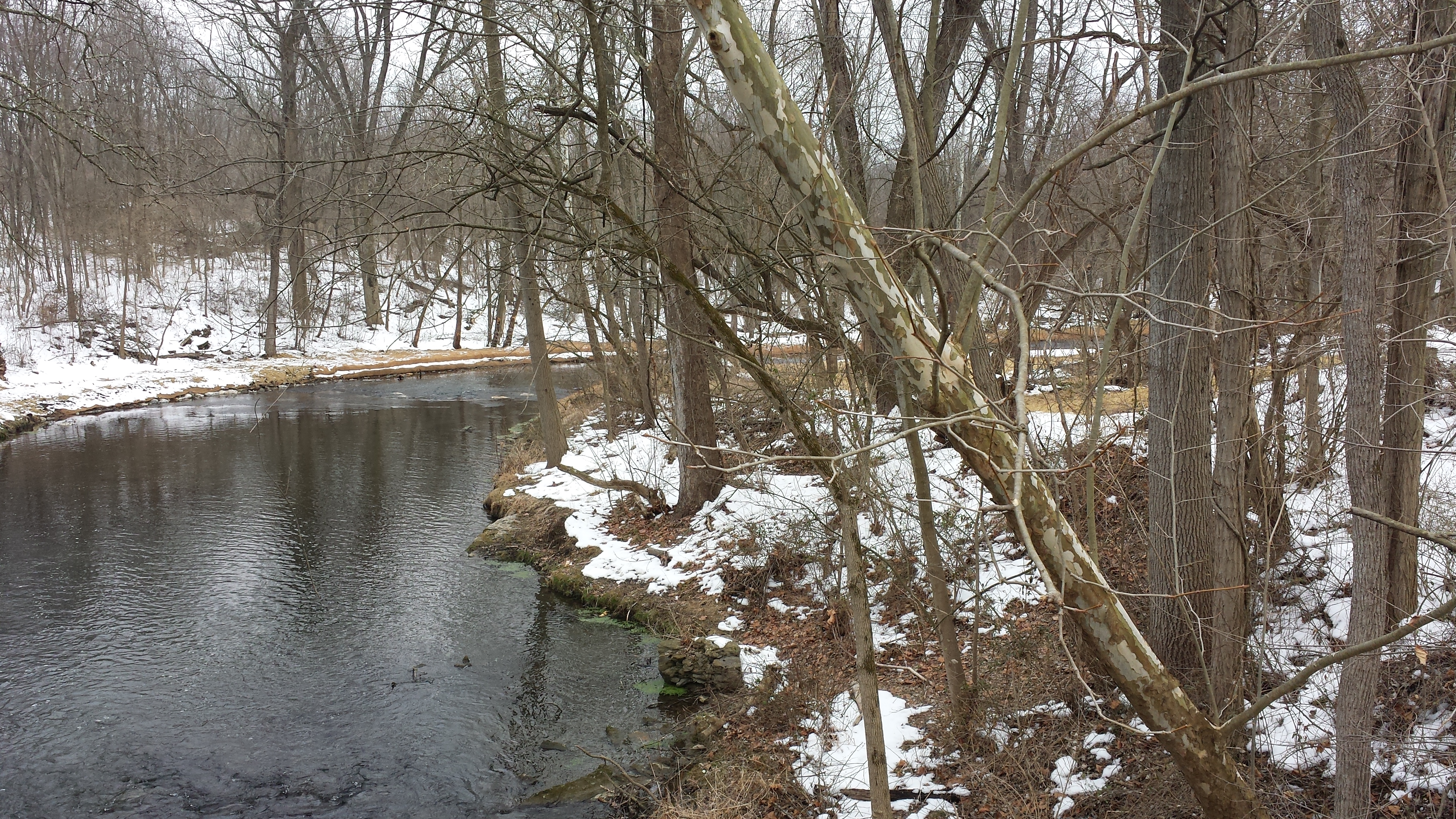
Huzzah! Huzzah! Phase 1 is pretty much complete -- at least the grading & rough bank restoration with the heavy equipment. Tending to the live stakes & plantings & vegetation will consume much more labor come spring & summer. But for now the work has paused.
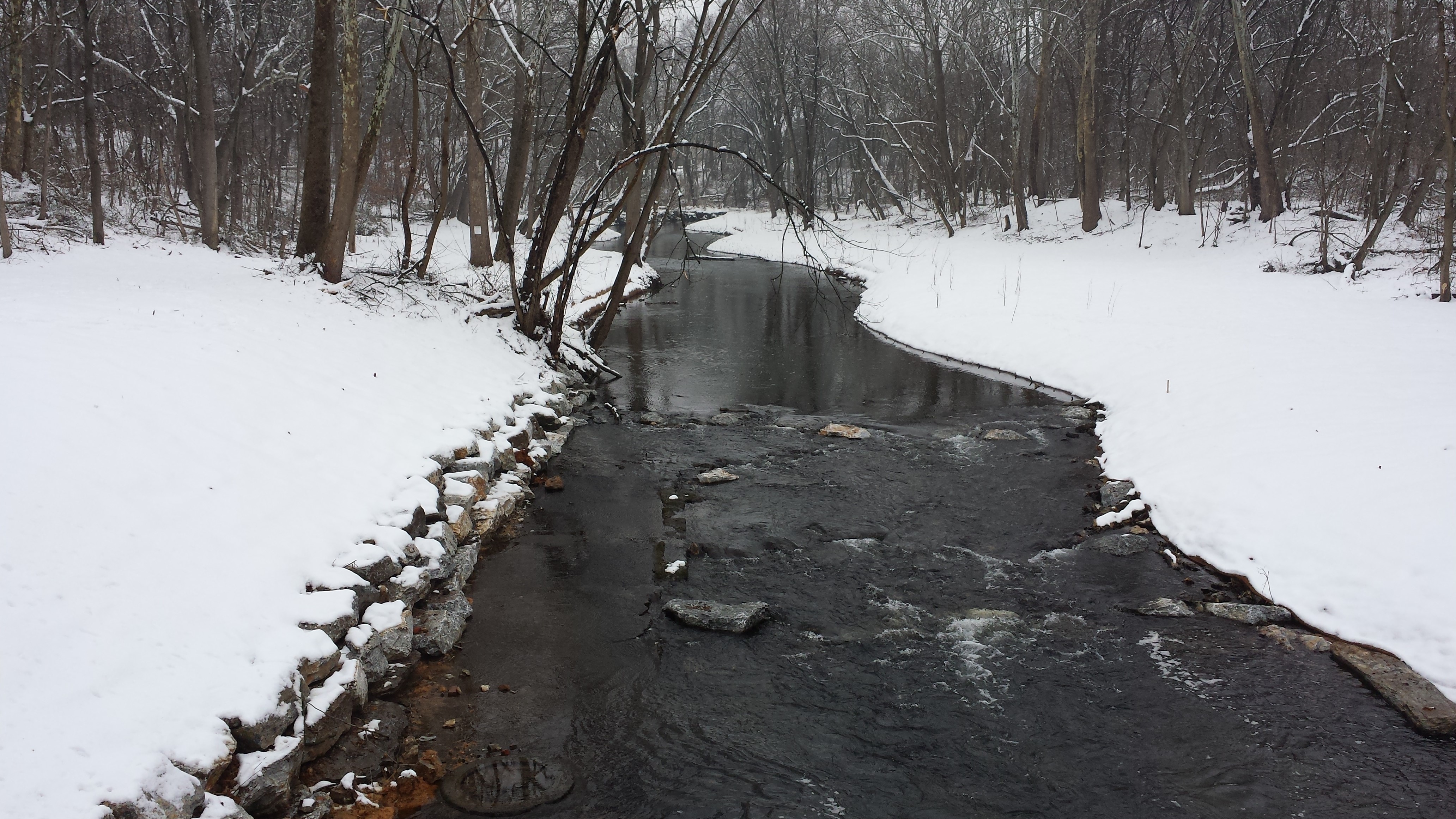
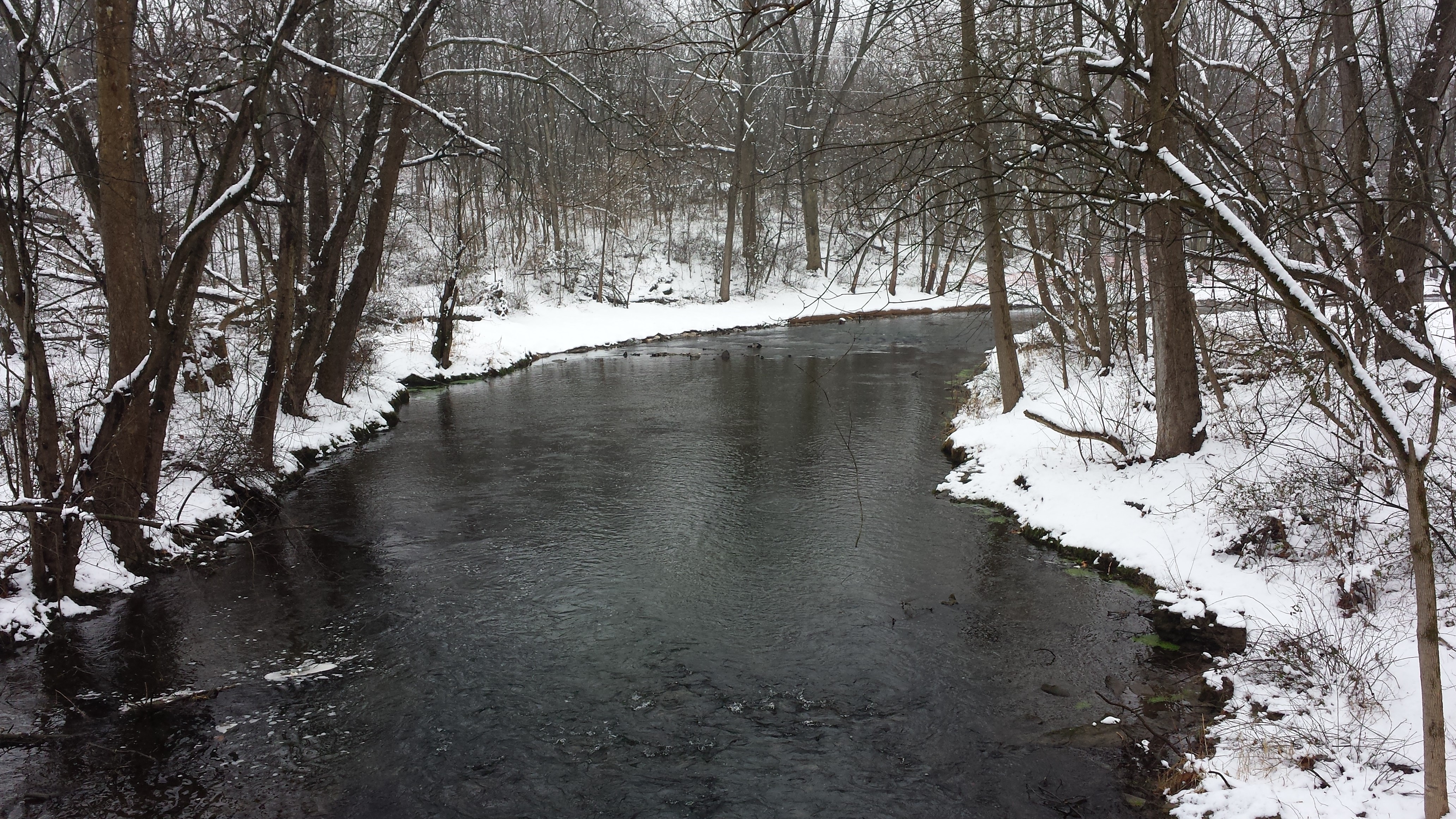
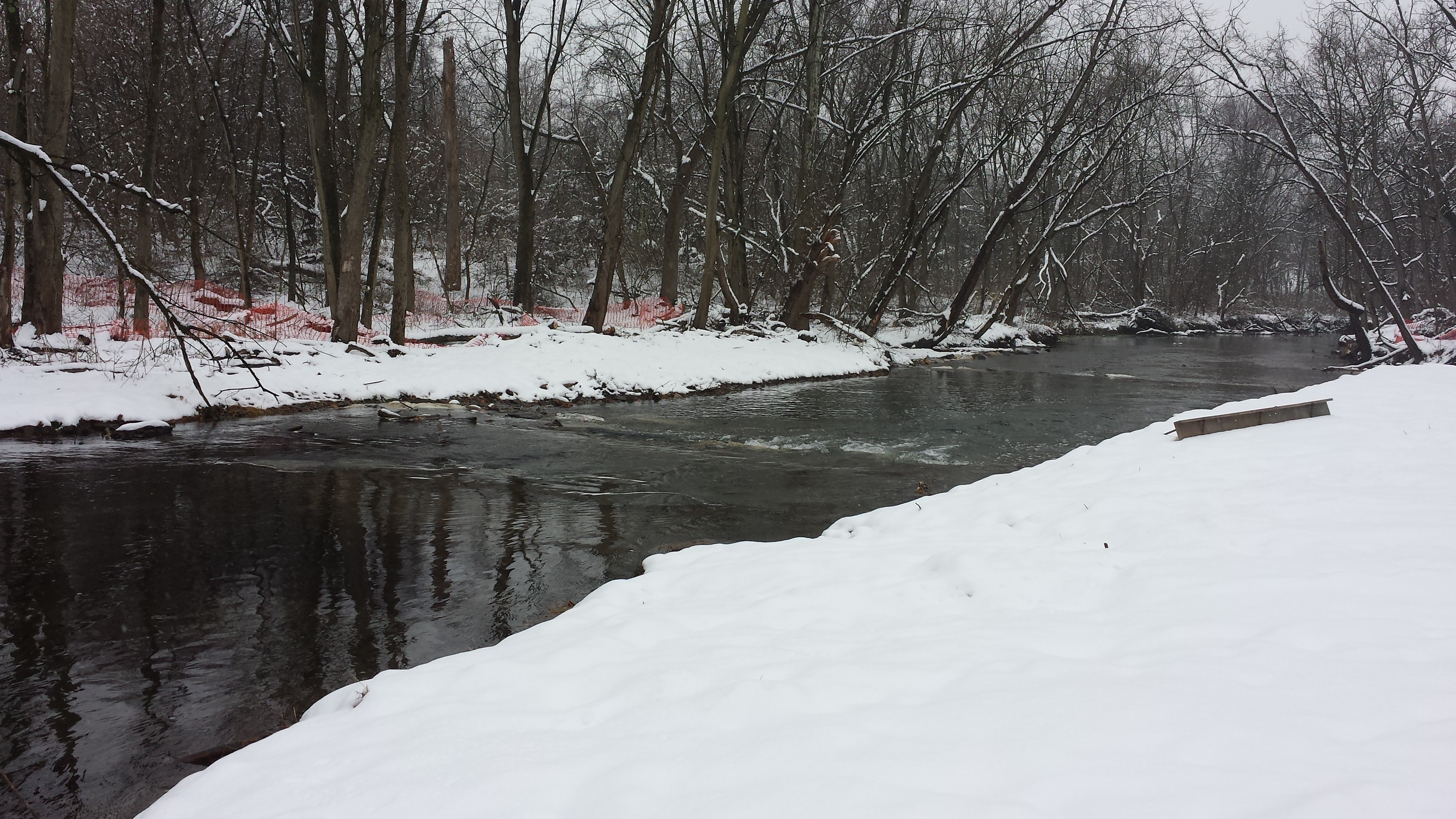
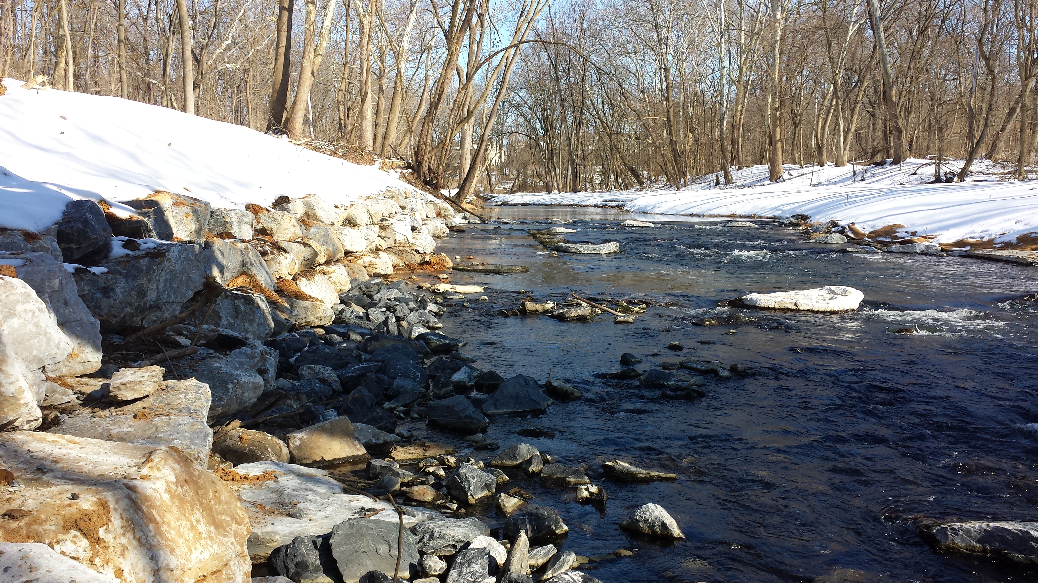
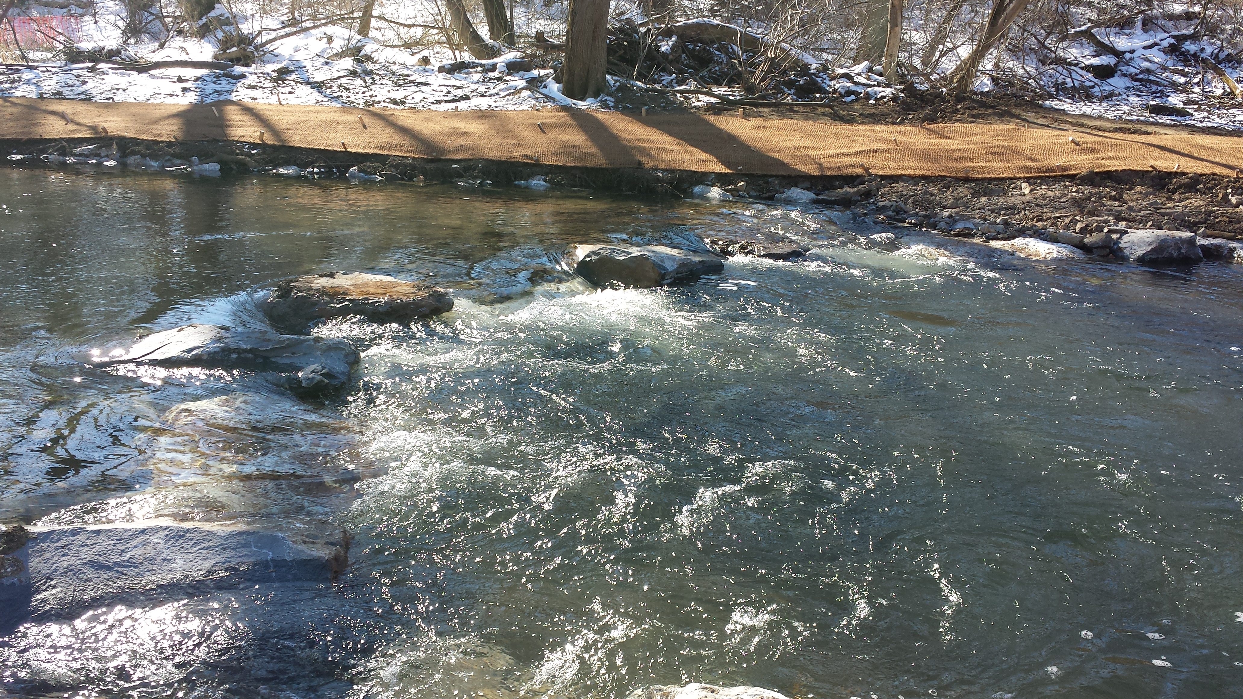
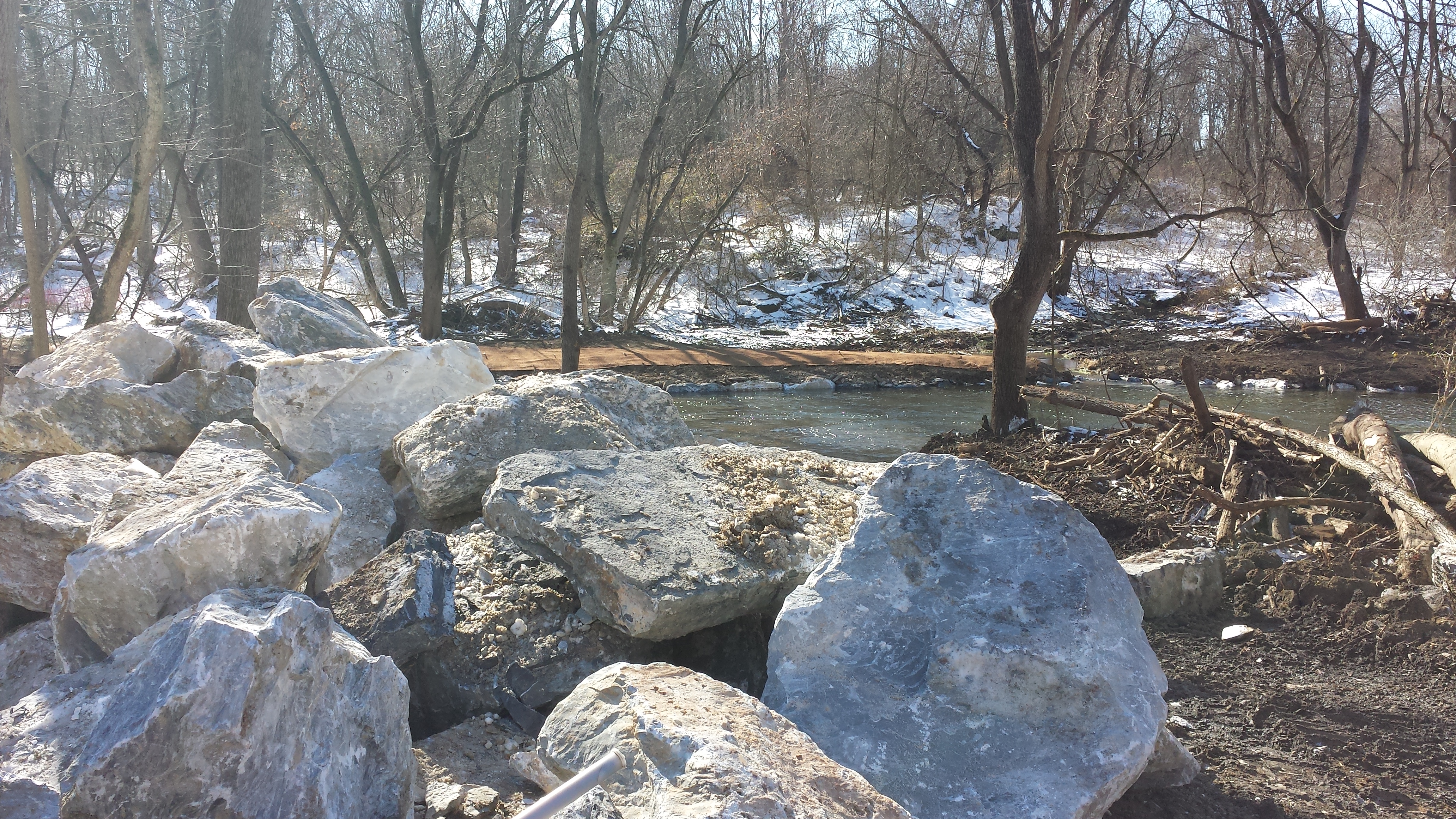
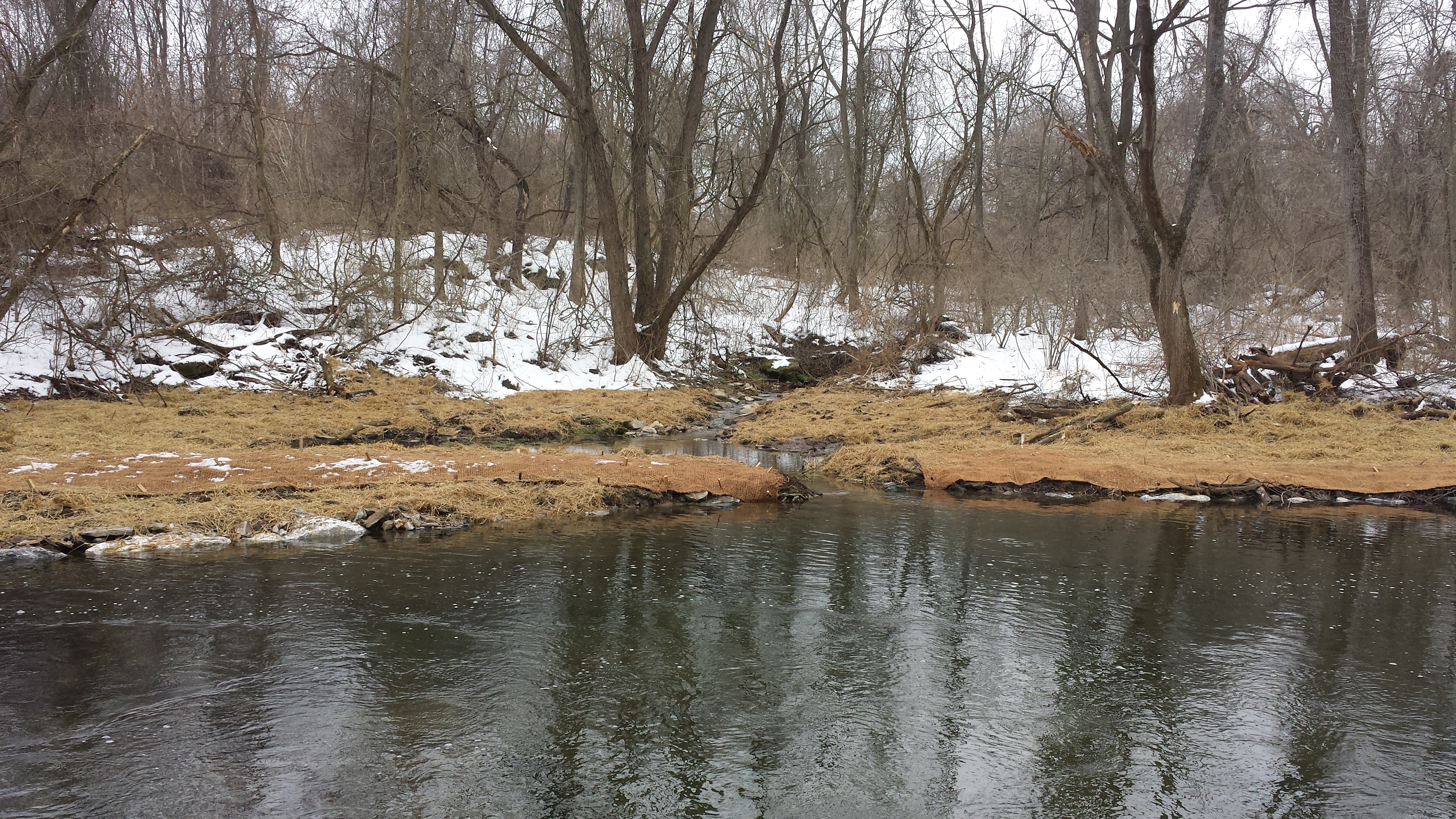
A fresh blanket of snow covers most of the restoration work on this walk upstream toward Stumpy's Little Bridge on this Sun Feb 22, but we can catch glimpses -- as in the photo above showing the array of boulders rechanelling the creek's flow. The 1st photo in the sequence below shows the north bank mostly untouched, and the south bank shorn up and narrowed. The 2nd & 3rd show the array of boulders crossing the creek in two rows, which over time will transform the flow dynamics and contours of the creekbed in this section (the 3rd photo is a higher-resolution copy of the photo above). The 4th, 5th & 6th photos approach the mouth of the Boger Cement Tributary, with Stumpy's Little Footbridge visible at upper left in photo 6.
As we turn round & head back to East High Street we behold an entirely unsurprising sight:
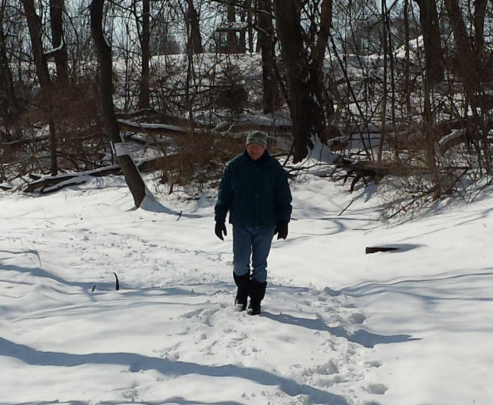
Annville Township Commissioner Jim Scott has embarked on an inspection tour of his own! After chatting with Jim for a bit about the beautiful day & all the terrific work that's been done so far & all the work that's yet to come, we pause in our weekly chronicle to wait for the snow to melt, the vegetation to sprout, and the restoration work to recommence in Phase II.
Continue to Weeks 17-24 (Restoration Project, Page 3)
.