


This is Page 3 on the Quittie Creek Streambank Restoration Project in Annville PA, photo-documenting the project during its 15-month pause between phases 1 & 2, from early March 2015 to late June 2016.
Background information on this long-awaited project can be found on the "Projects & Grants" page. Detailed maps of virtually every foot of the project can be found on the "Studies & Documents" page, in particular the "Design Report" and the "Maps" listed under May 2012.
Weeks 17—19: First Three Weeks of March 2015
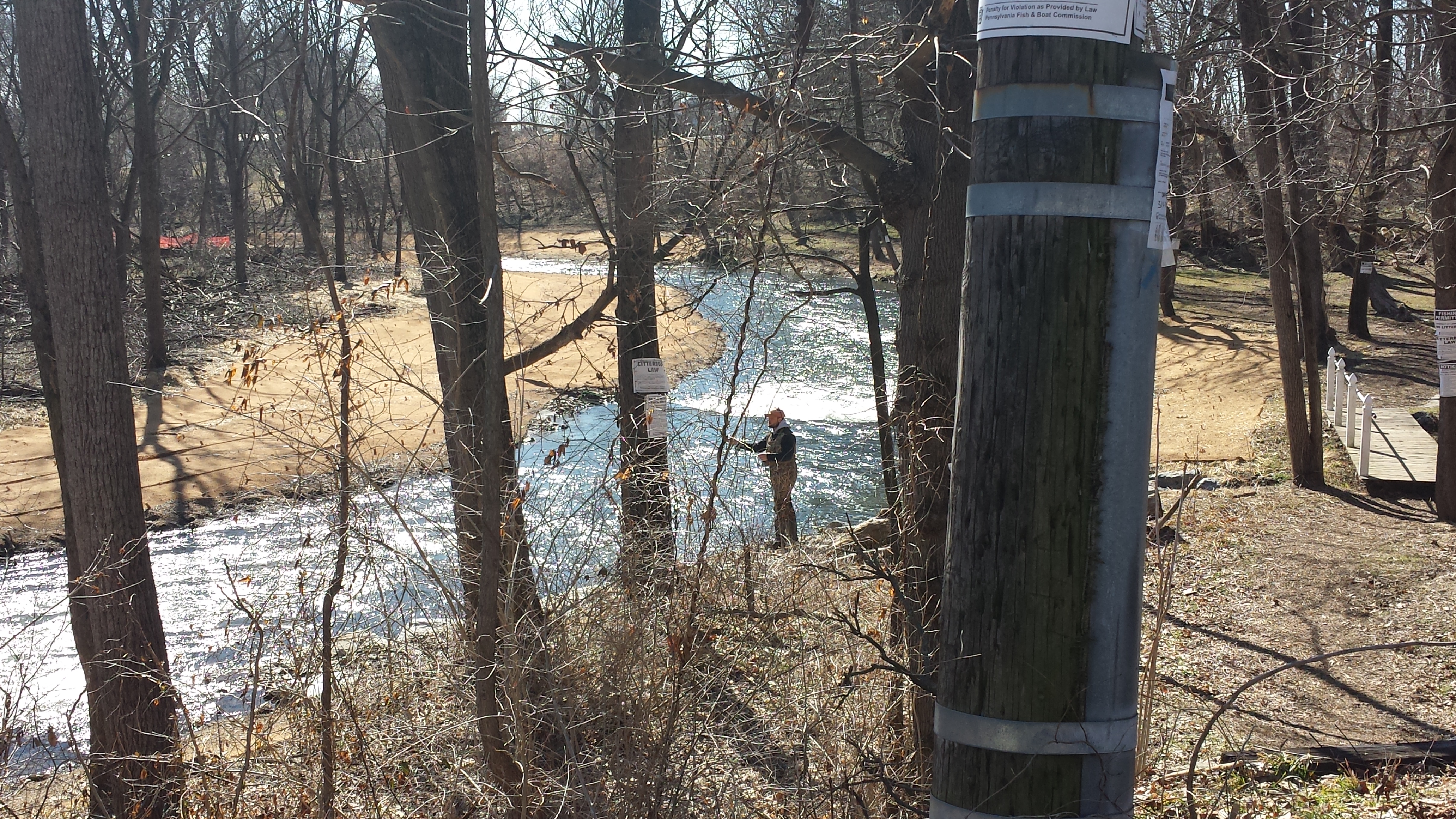
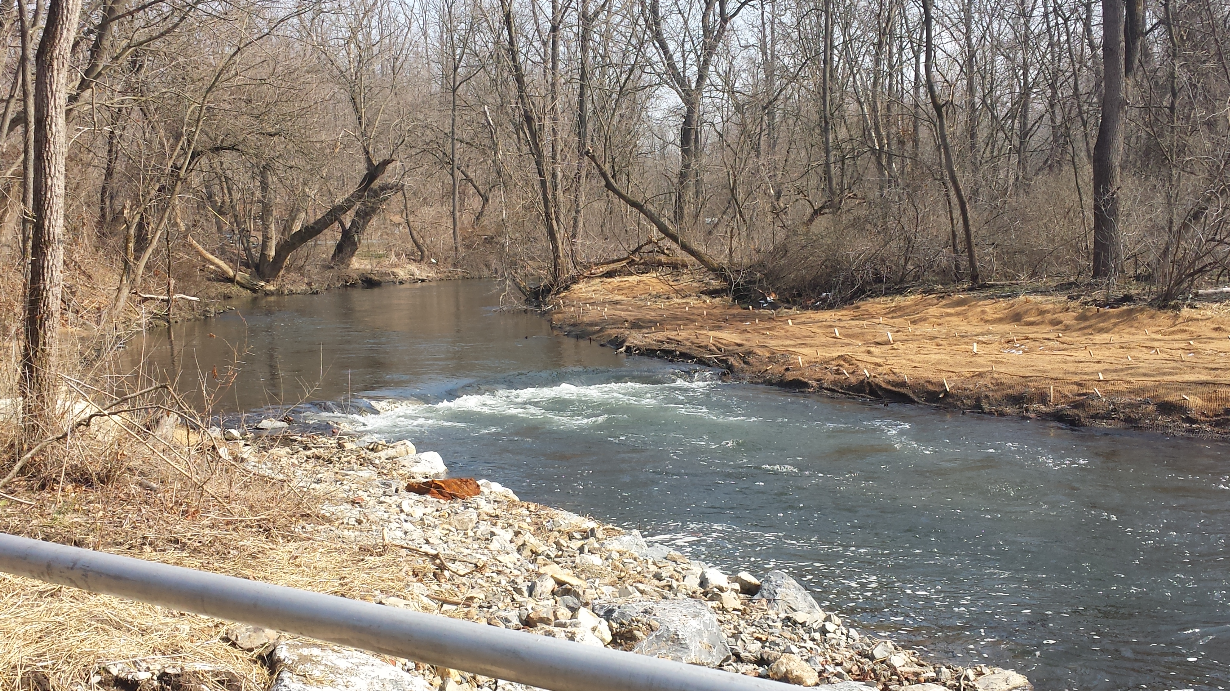
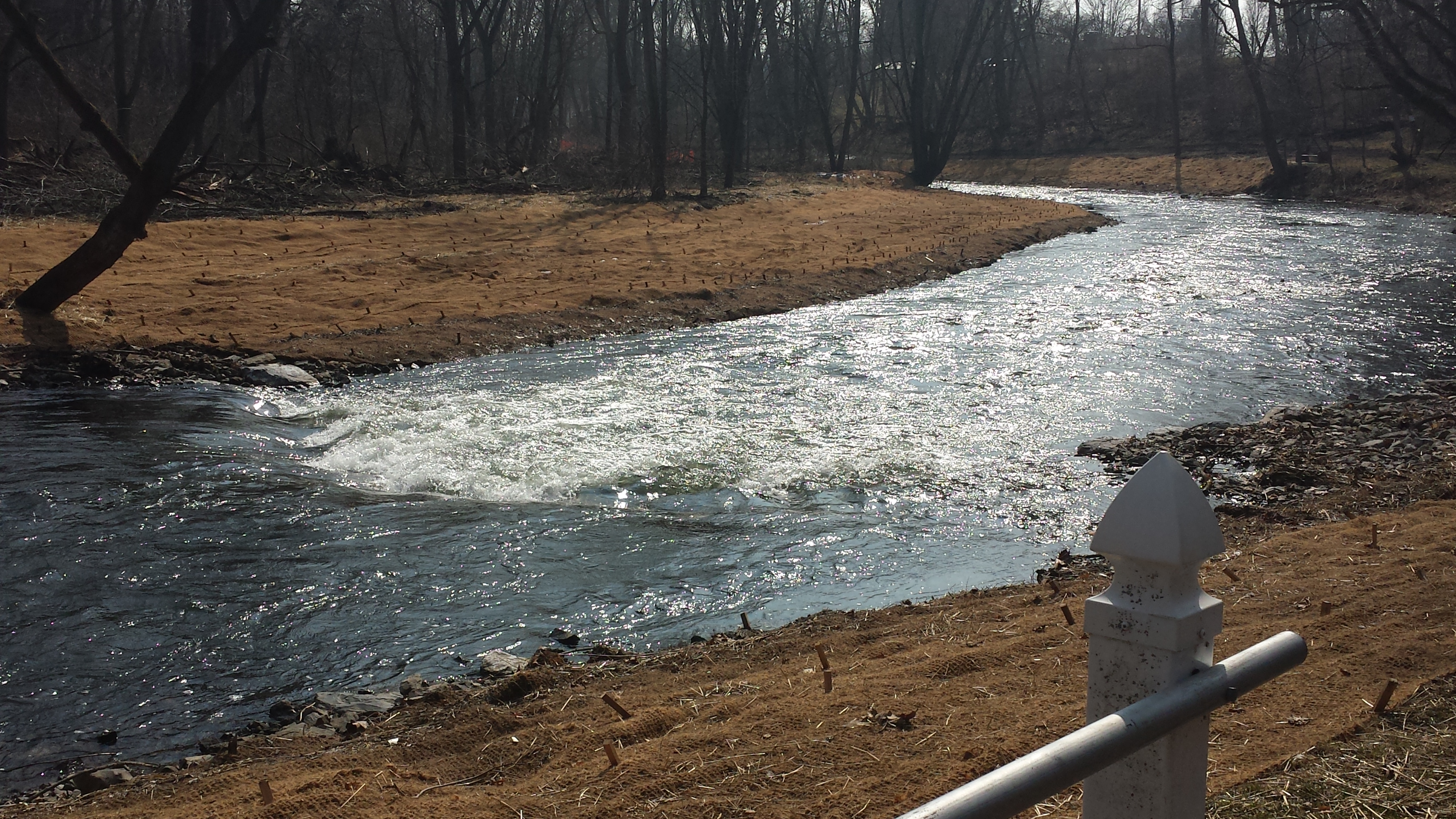
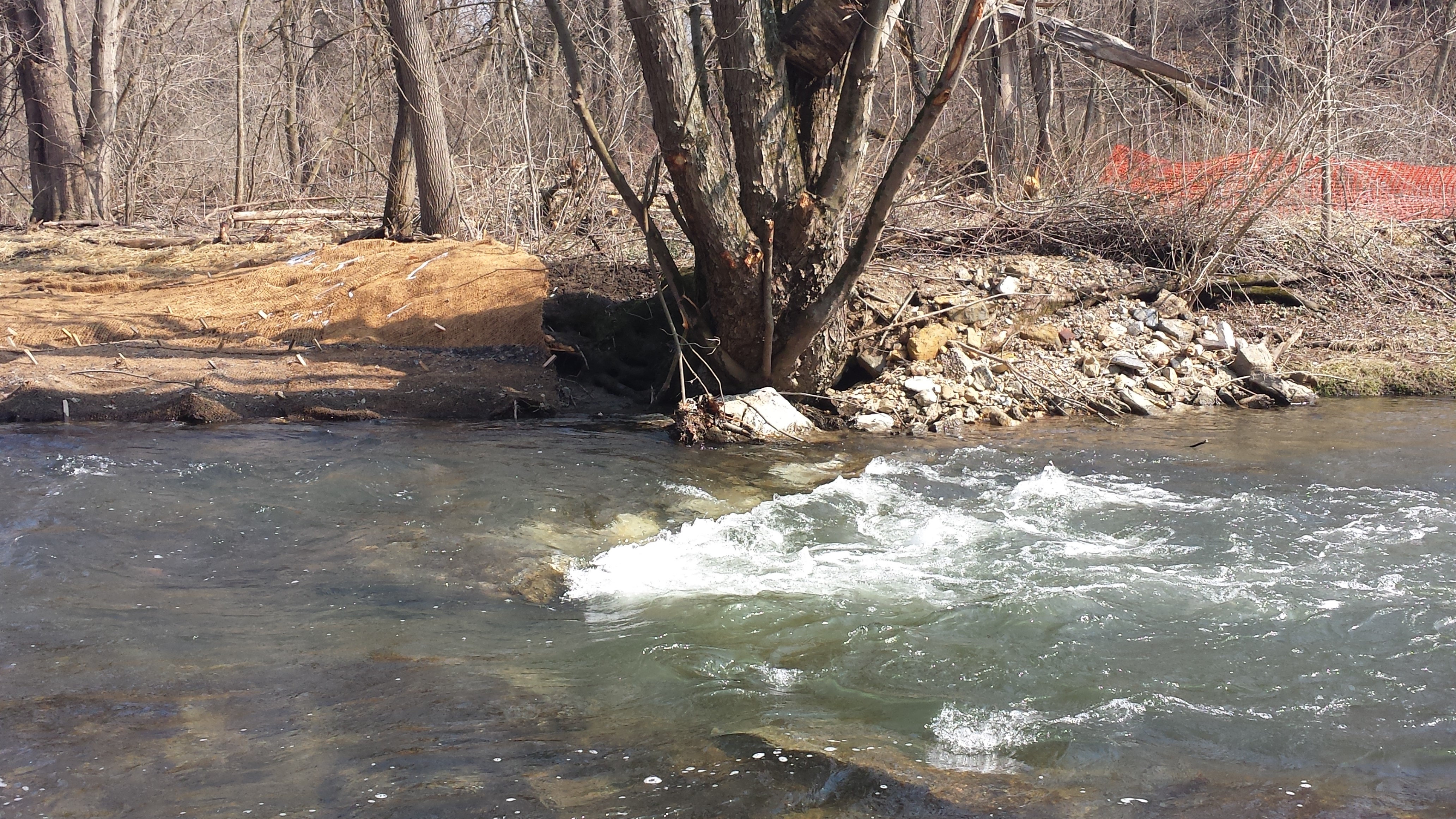
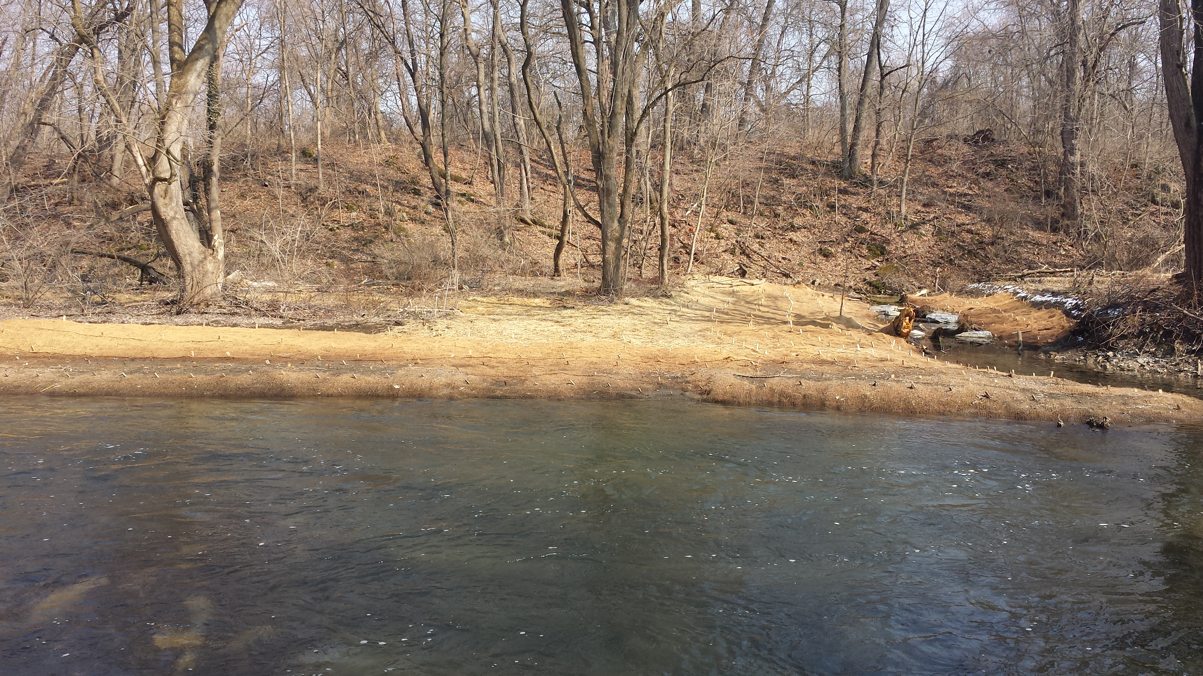
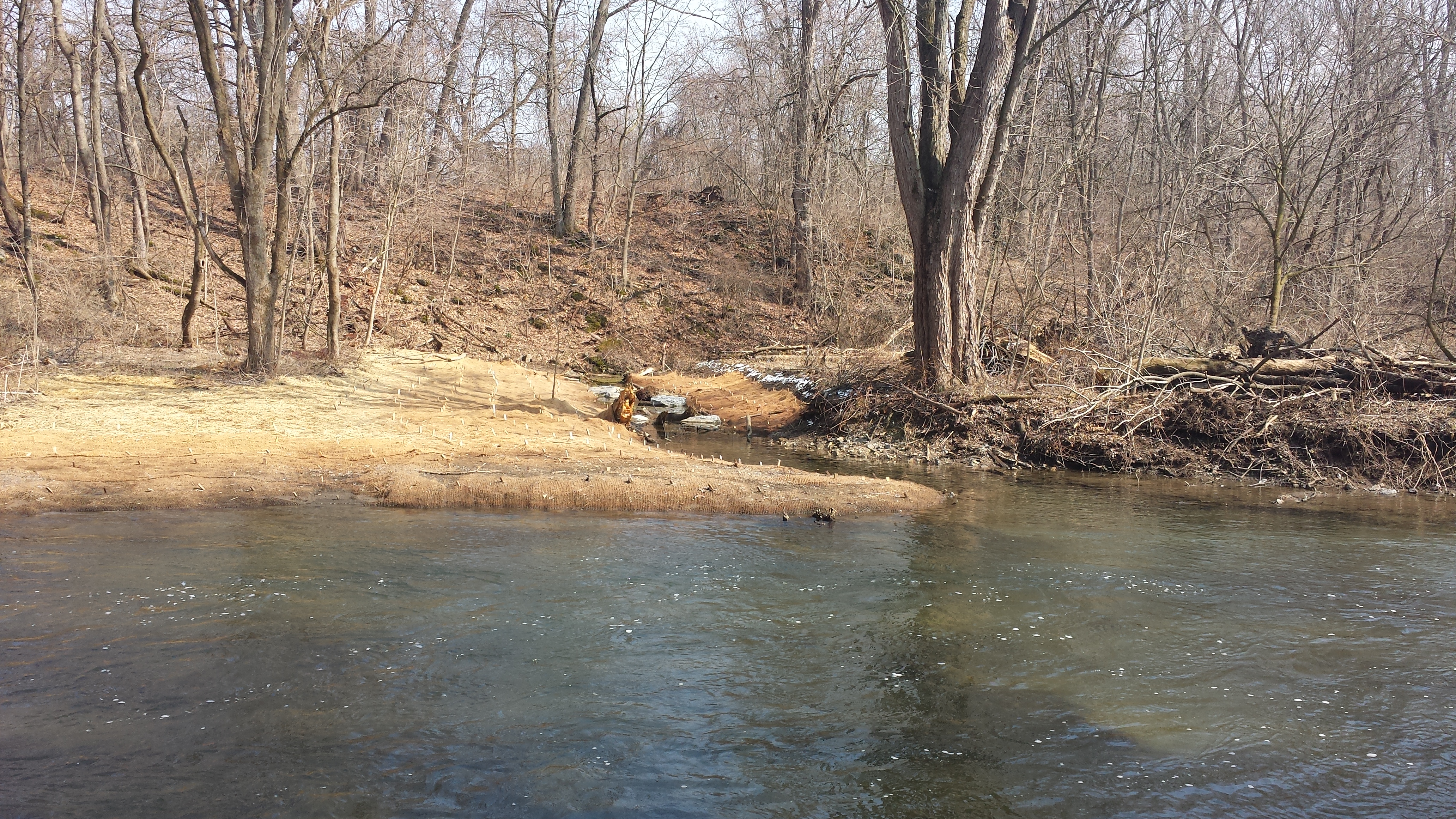
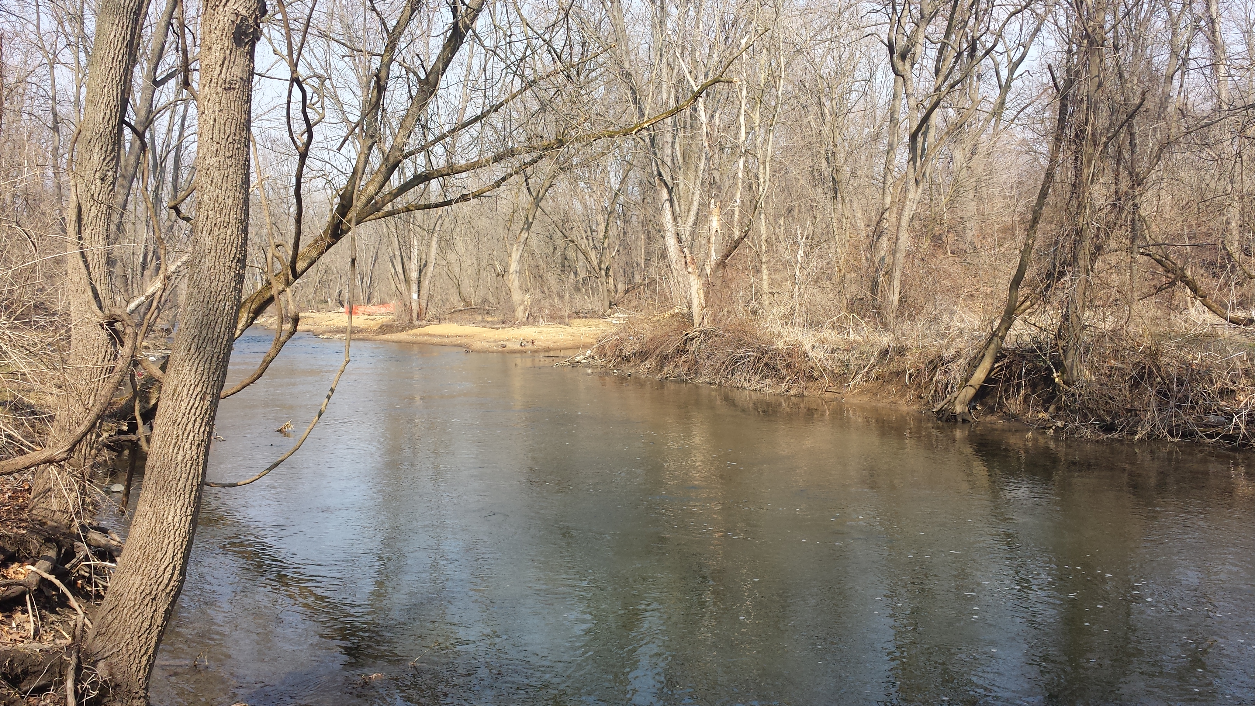
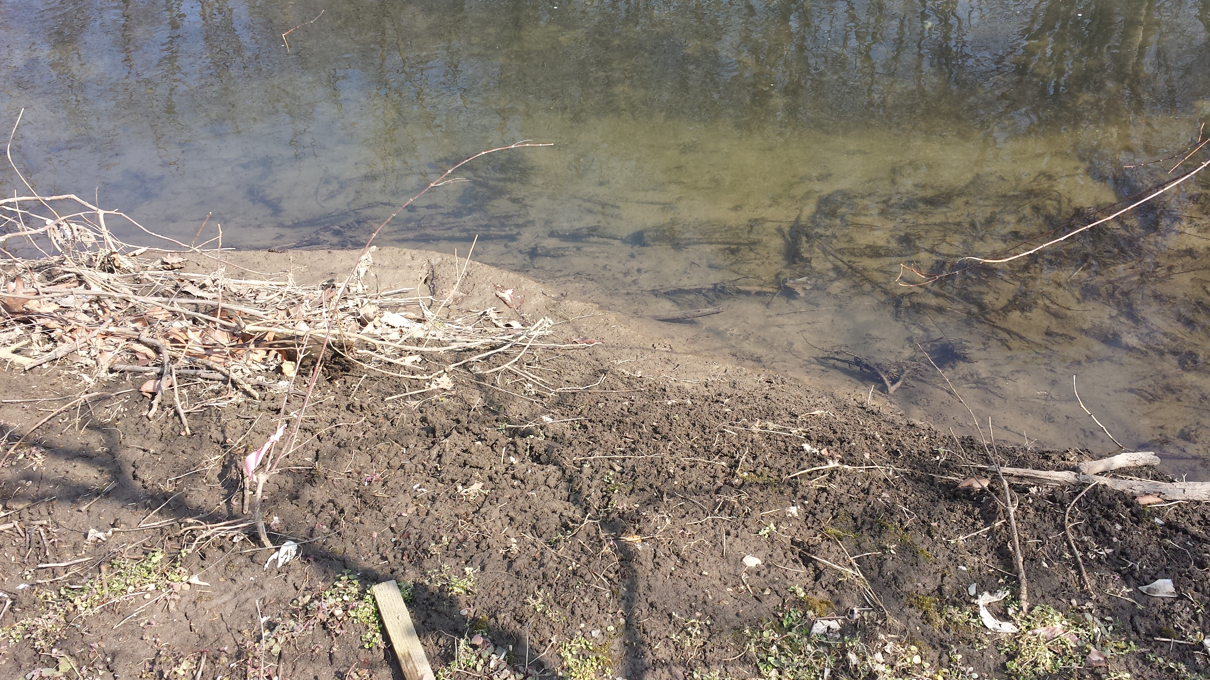
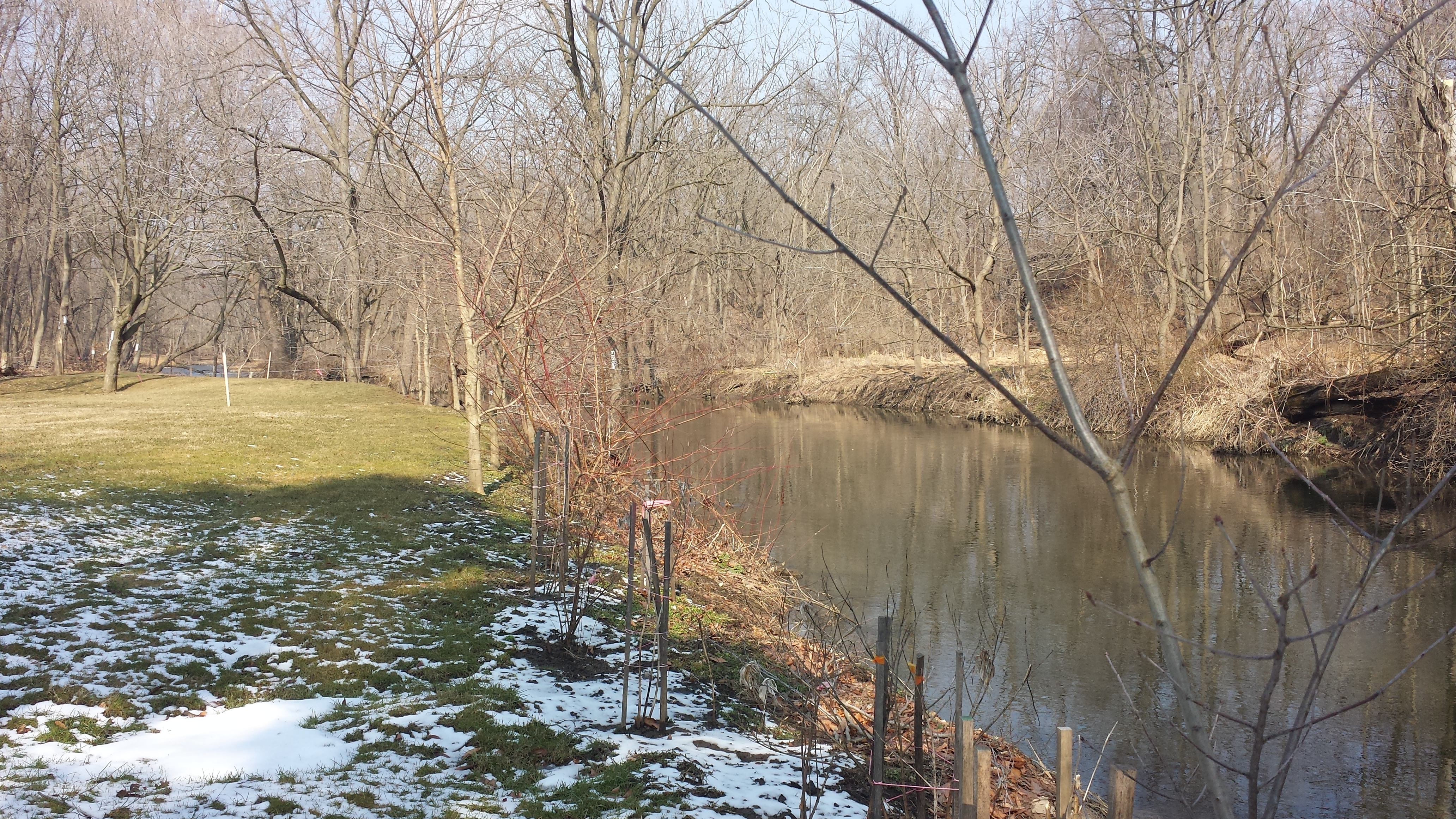
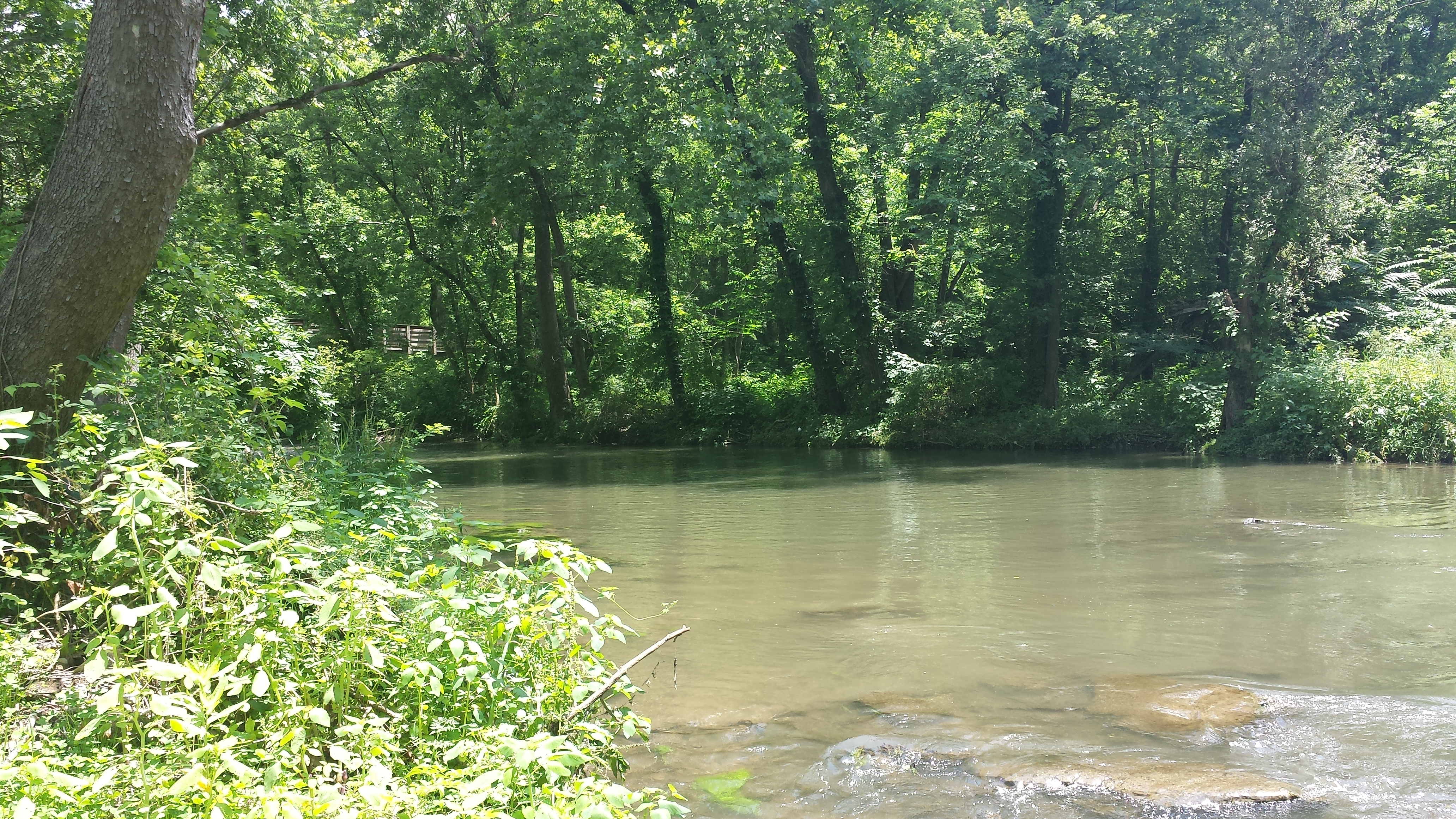
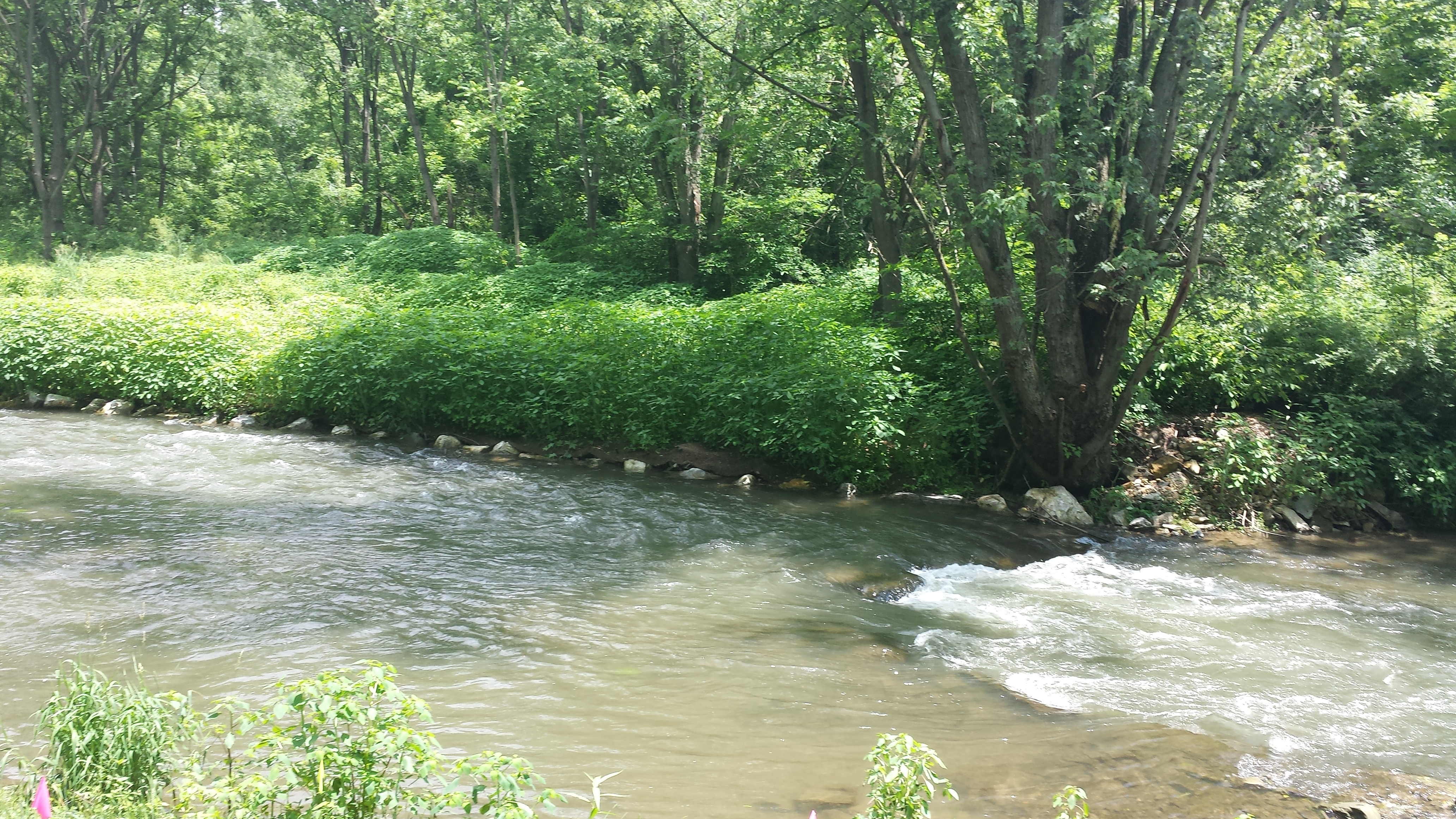
The photos below were taken on March 21 and 22. First row: The first photo in the sequence was taken from Bachman Road looking downstream, with Stumpy's little footbridge off to the right. The 2nd is taken from the little footbridge looking back upstream, with the freshly-laid geotextile fabric on the opposite (south) bank. The 3rd pivots and looks downstream, showing the riffles & deeper pools created by the channel reconstruction. The 4th looks back upstream toward Stumpy's Little Footbridge; the 5th looks straight across at the south bank; and the 6th looks downstream from the north bank, at a point just downstream of the Little Footbridge. Second row: The first photo in the second row looks across at the south bank. The 2nd and 3rd photos show the rebuilt banks of the sizeable spring that enters the Quittie at this point. This marks the most downstream point of Phase 1. In the 3rd photo in the second row, compare the eroding bank at right with the stabilized bank at left. The last three photos move further downstream, showing the eroding banks that still need to be stabilized in Phase 2. Click on thumbnails to view full, high-resolution images.


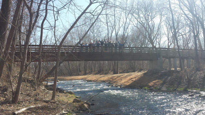
Weeks 20—21: A Happy View of Swingholm Pedestrian Bridge, 2 April 2015
Lebanon Valley College students in Prof. Schroeder's HIS 202 Historical Geography, on a field trip to view the streambank stabilization work, raise their arms in joy (at being outside the classroom?) from atop the Raymond Swingholm Pedestrian Bridge, 2 April 2015.
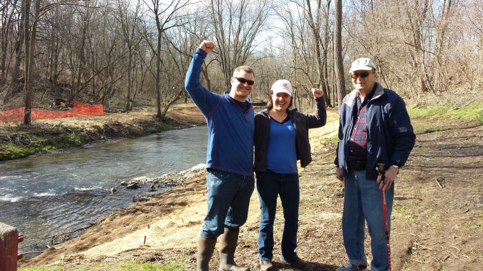
Week 22: Spring in the Air & a Visit by Brett Long & Wife Sarah from Baltimore
Quittapahilla Watershed Association Honorary Lifetime Board Member Brett Long, at left, raising his fist in a gesture of triumph, with his arm around his wife Sarah, on a special visit from the Baltimore area on this lovely Saturday, April 11, with QWA Founding Board Member David Lasky at right, just downstream of Stumpy's Little Footbridge. Brett's years of service for the QWA helped to make this project possible. How sweet it is! . . . .
Weeks 23—26: From mid-April to mid-May 2015
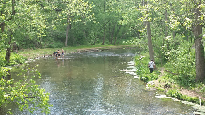
The two photos below were taken on May 12 -- both from atop the Swingholm Pedestrian Bridge. The first looks upstream, the second downstream, with a hiker at right and some boys from Annville-Cleona High School rolicking in the water at left, taking advantage of the lovely day after a long, brutal winter. The work has paused, and spring has sprung!
Weeks 27—31: From mid-May to mid-June 2015
The photo below shows the volunteer tree-planting crew that heroically planted upwards of 40 trees in the restored area (south bank, upstream of the Swingholm Pedestrian Bridge) on Thursday, June 11. Standing in the back row, from left to right, are Ann Lasky, Karina, Ryan, Paulette, Tracy, and Kent Crawford. The two boys sitting on back of bench are Cole and then Jackson (next to Kent). Sitting on bench are Logan and David Lasky.
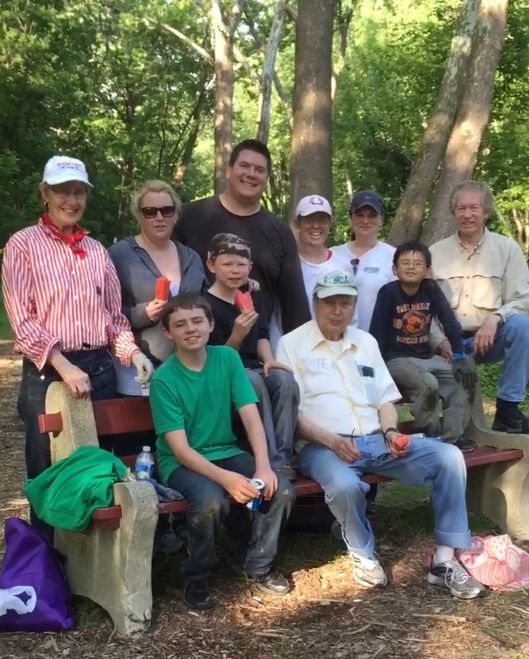
Bountiful gratitude to our hard-working volunteer crew!
Weeks 32—33: To the end of June 2015
 The following
sequence of photos, introduced by a
gripping 1-minute YouTube video at the upstream-most
point of the project, were taken on the first full
day of summer (22 June). We start at Lime Hill
and work our way downstream. The exuberant
vegetation obscures the extent of the work as it
anchors the geotextile fabric -- as it should --
though invasive plant species, like jewelweed, and
noxious ones like stinging nettles, poison hemlock,
and poison ivy
have also gained a toehold in many sections.
We'll have to work to keep these & other invasive
species at bay and tend carefully to the trees in the restored
areas.
The following
sequence of photos, introduced by a
gripping 1-minute YouTube video at the upstream-most
point of the project, were taken on the first full
day of summer (22 June). We start at Lime Hill
and work our way downstream. The exuberant
vegetation obscures the extent of the work as it
anchors the geotextile fabric -- as it should --
though invasive plant species, like jewelweed, and
noxious ones like stinging nettles, poison hemlock,
and poison ivy
have also gained a toehold in many sections.
We'll have to work to keep these & other invasive
species at bay and tend carefully to the trees in the restored
areas.
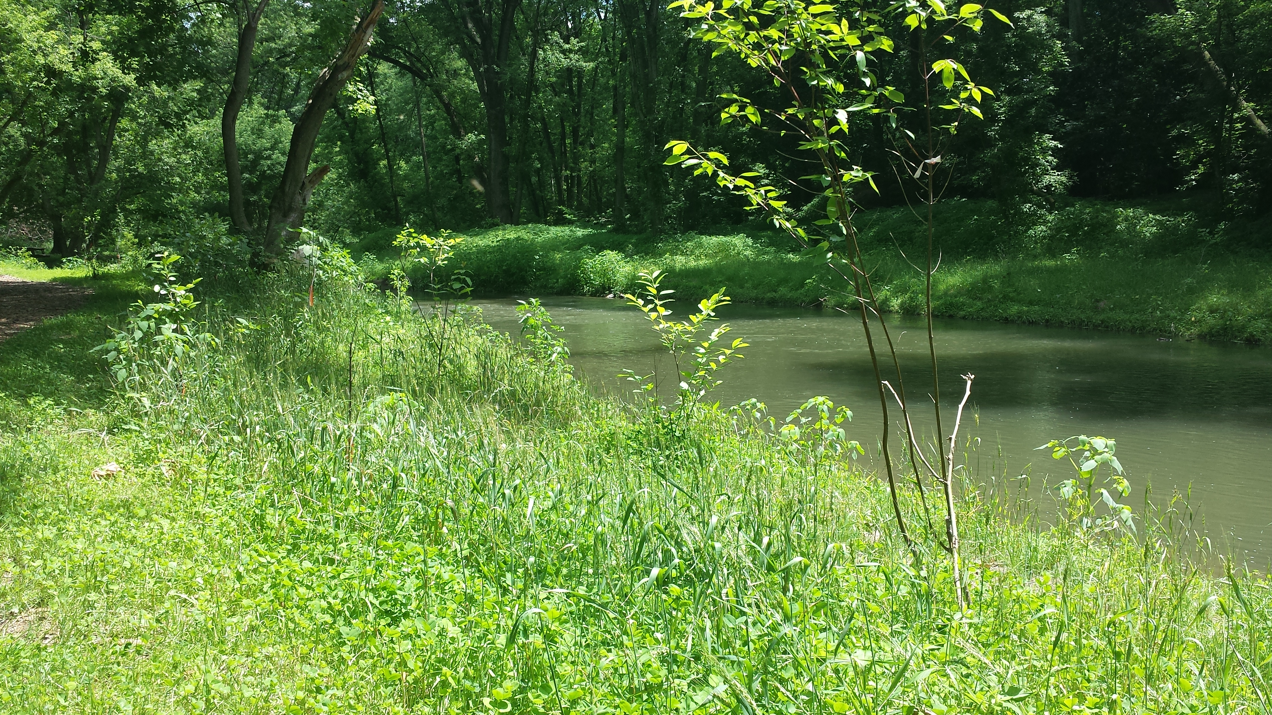
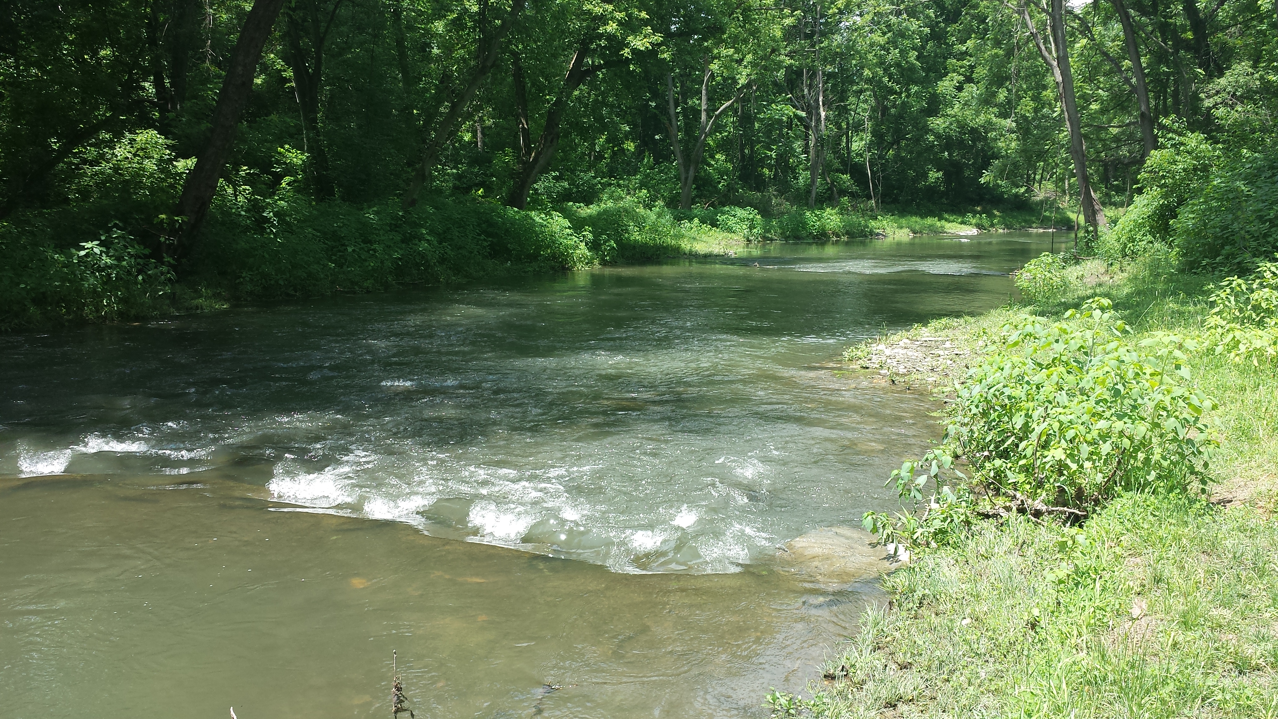
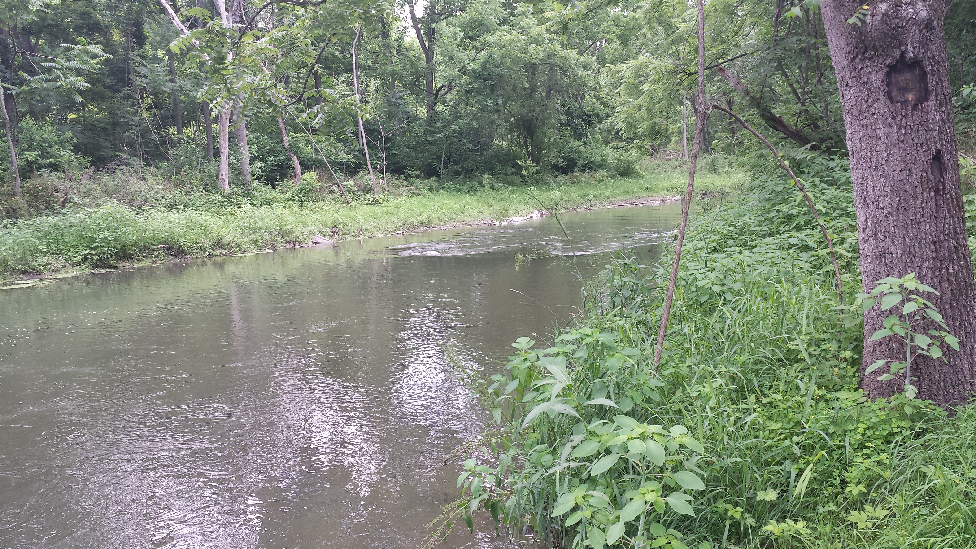
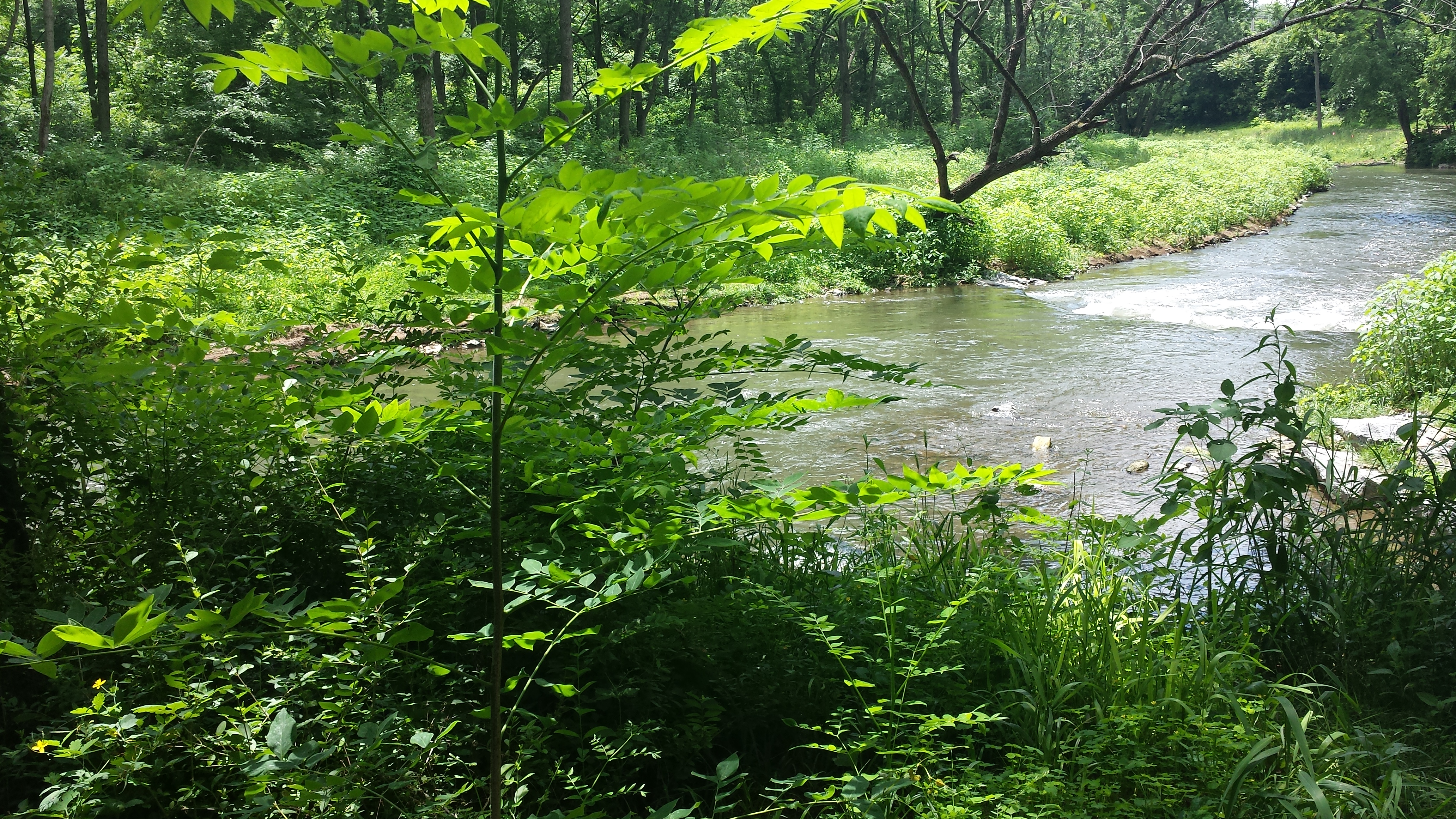
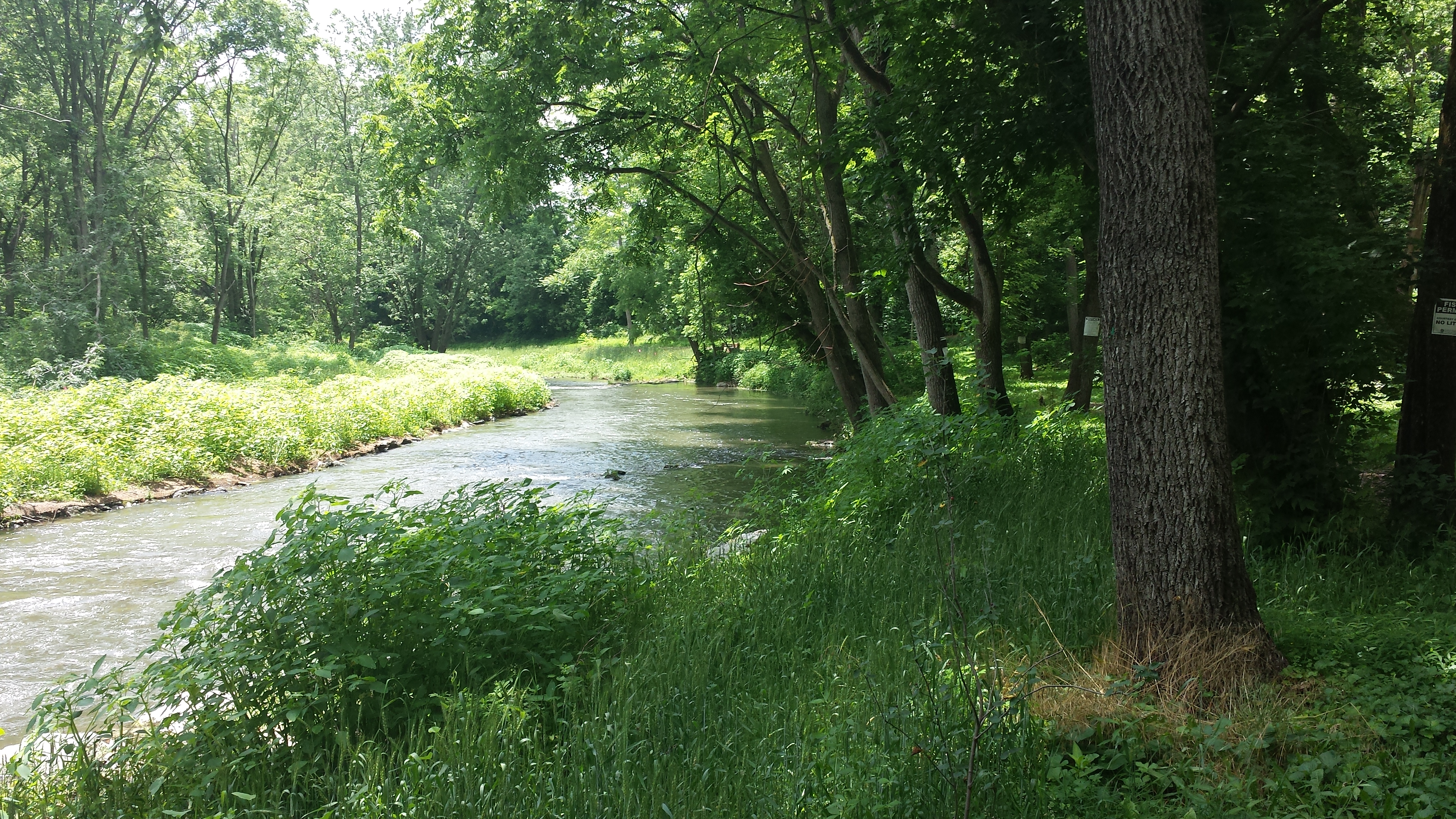
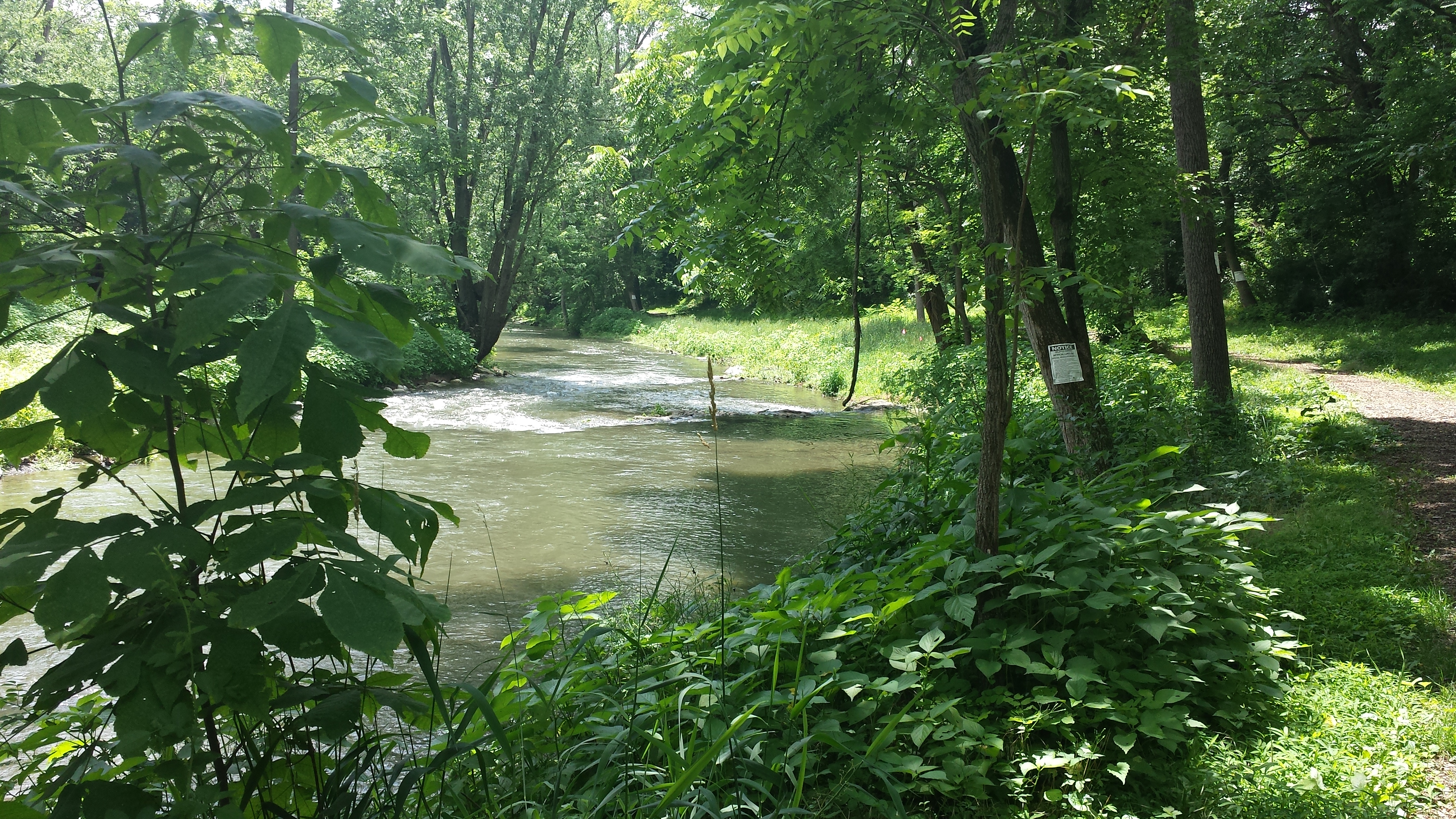
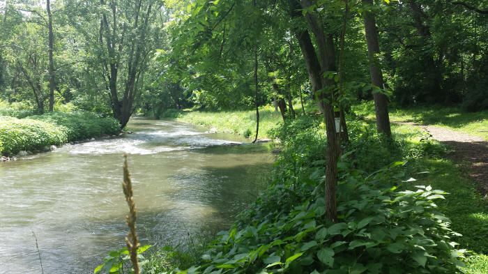
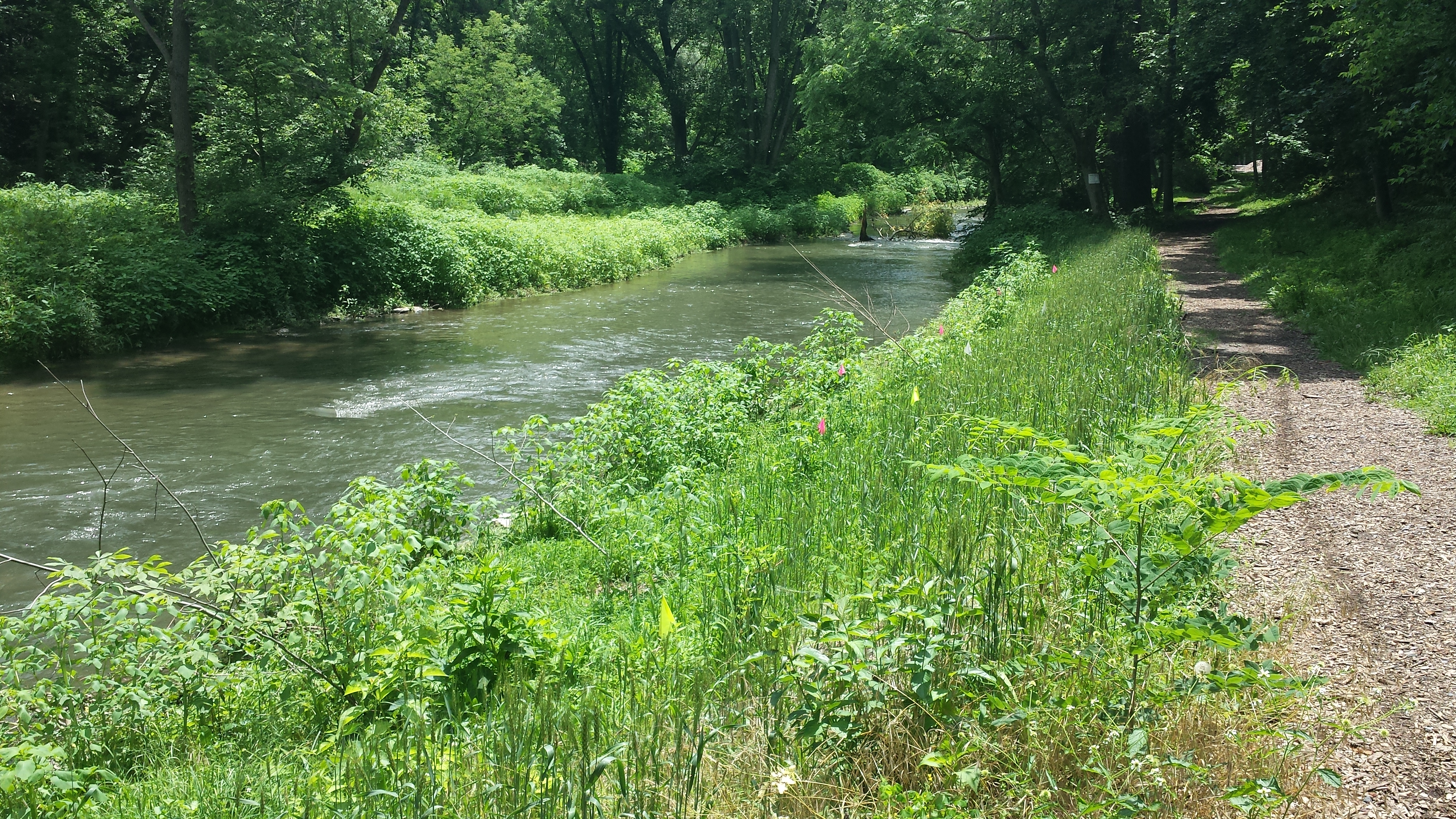
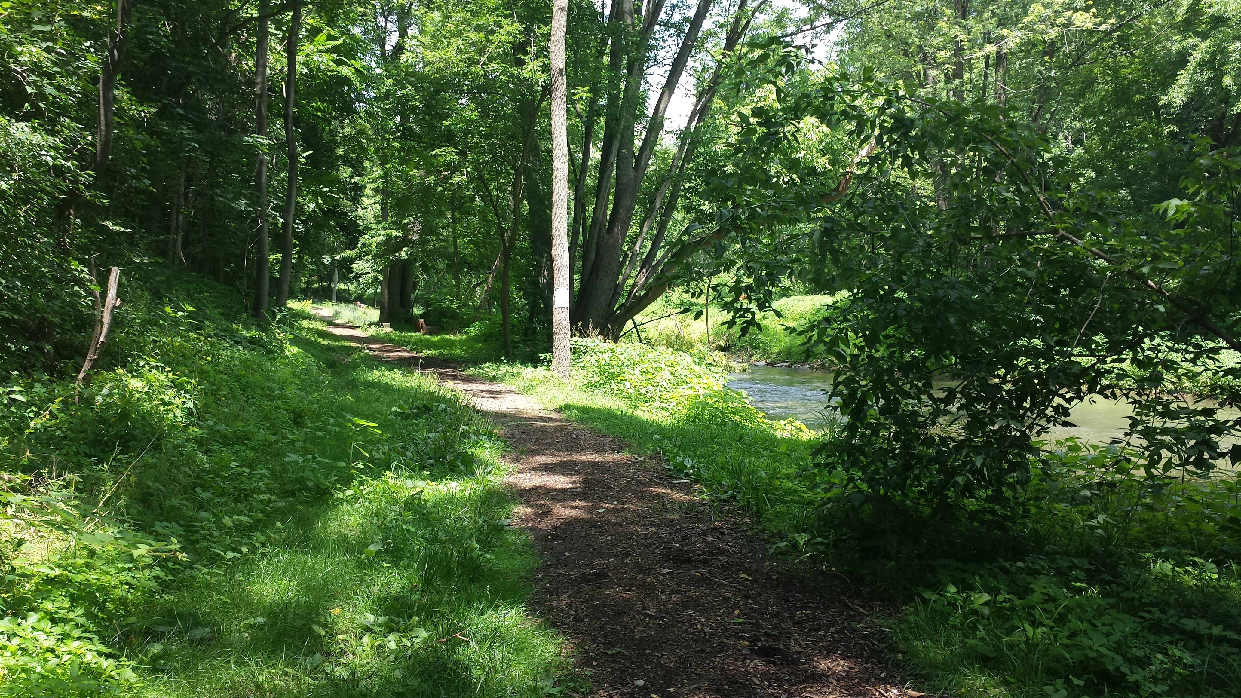
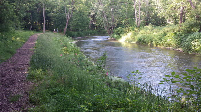
The first photo in the row below shows Lime Hill (or Chalk Hill) at left, marking the upstream limit of the project. The next two photos go a little further upstream, past Lime Hill, to peek at the badly eroding banks that continue upstream all the way up to the Hazel Dyke on the west side of Lebanon. The 4th photo looks downstream at the reconstructed sections on both banks, with the Pedestrian Bridge in the distance. The 5th pivots to the right a bit to show the creekside trail, and the 6th peers over the thick cover of clover, grass, and weeds that have taken root on the geotextile fabric.

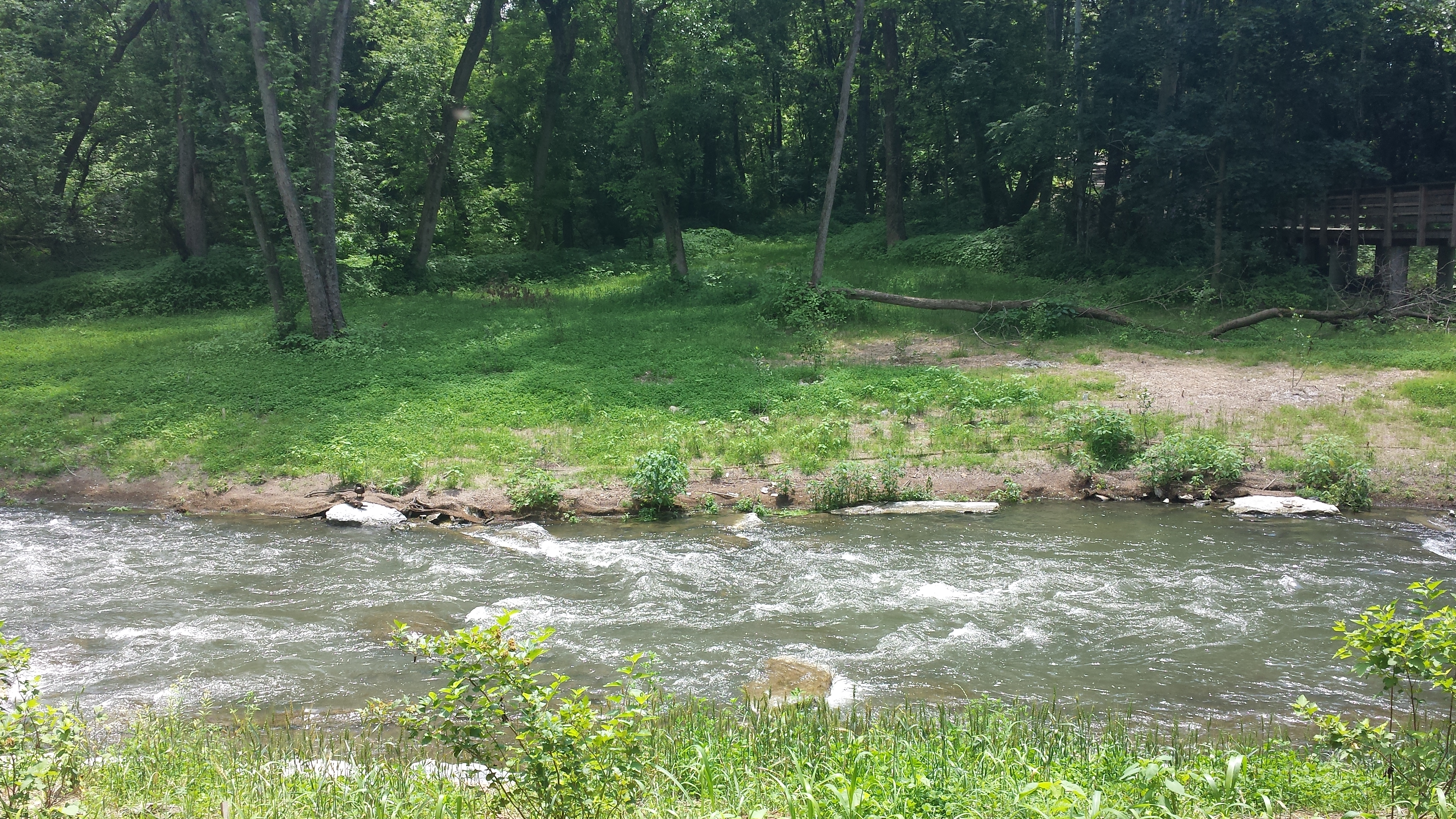
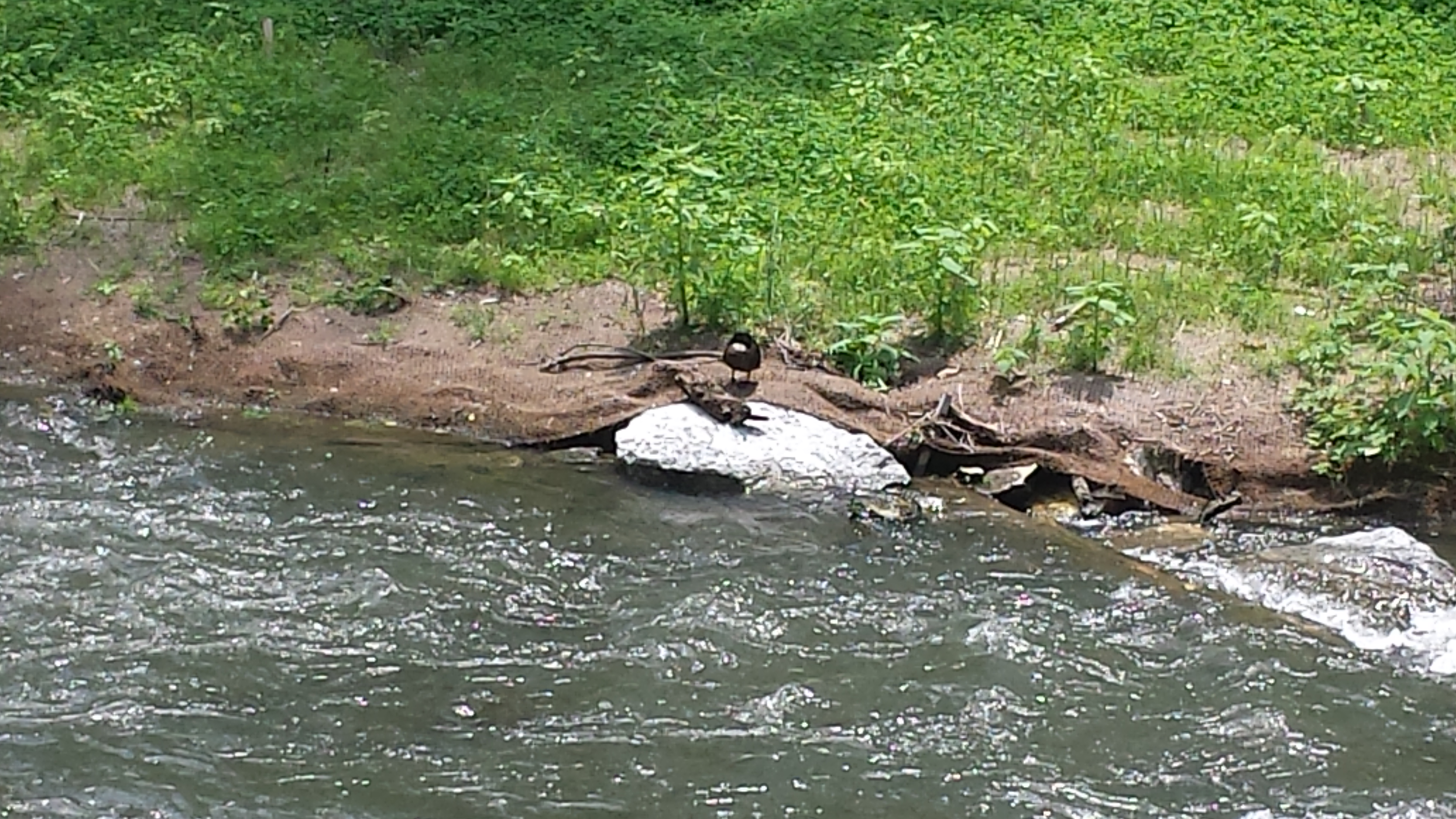
In the next sequence, below, we continue walking downstream toward the Pedestrian Bridge. All the areas with low, thickly covered vegetation along the bank have been restored -- the streambank narrowed, the bank slopes made gentler, and native trees planted -- including black chokeberry (Aronia melanocarpa). ninebark (Physocarpus opulifolius), waterberry (Ilex verticillata), and sandbar willow (Salix exigua). The first photo below looks back upstream; the 2nd pivots & looks downstream at the first set of riffles created in the project. The 3rd moves closer to the bank & shows a rare patch of un-vegetated geotextile fabric in the foreground, with the first set of riffles a bit nearer. The 4th shows the Pedestrian Bridge; the 5th pivots a few degrees left to look straight across at the south bank; and the last shows a very handsome duck who really seemed to be enjoying the place, though the bank here has not yet fully restored itself. Nature moves at her own pace.
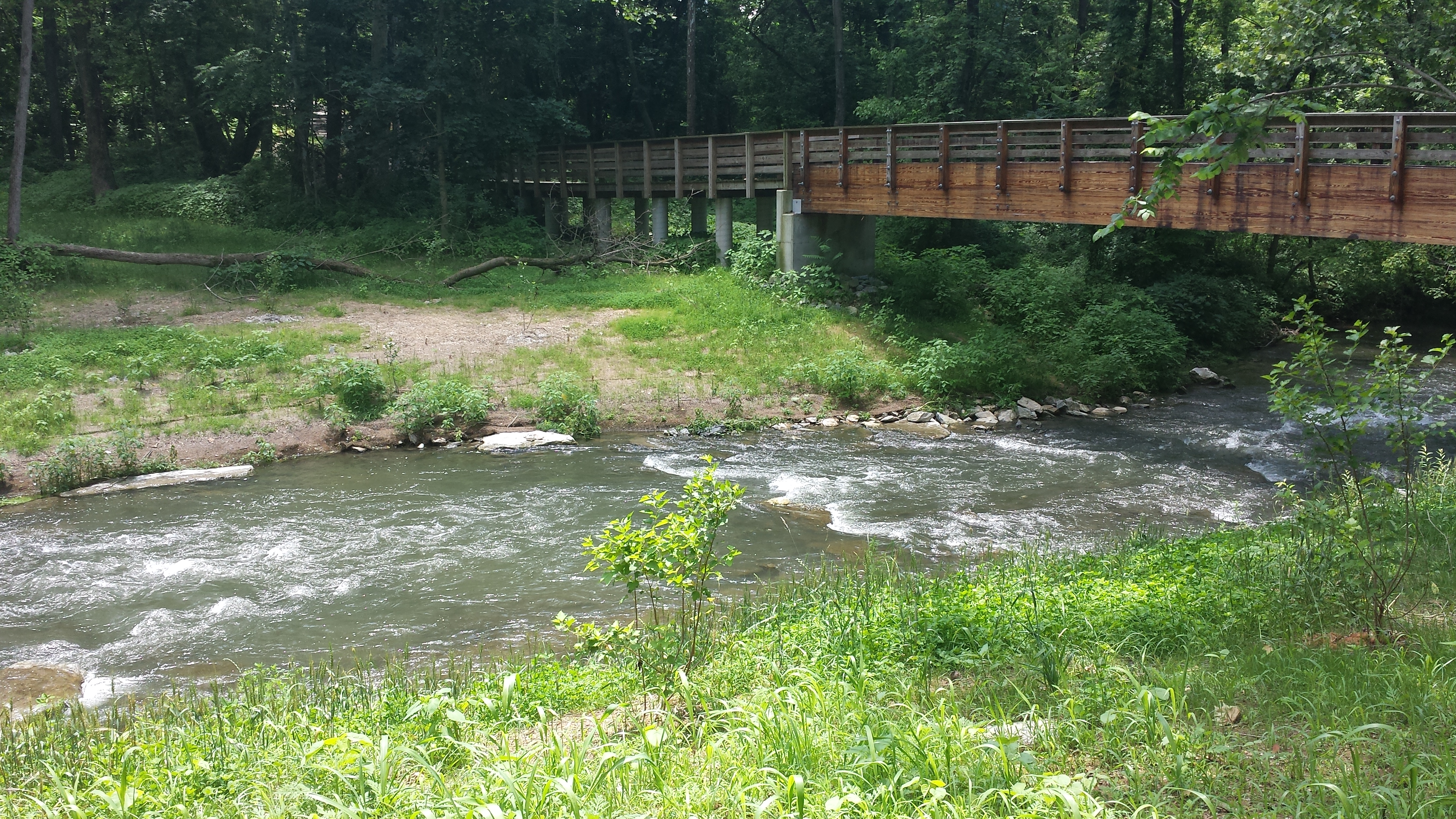
Below we enjoy the view upstream & downstream from atop the Pedestrian Bridge. Click on photos for full images.
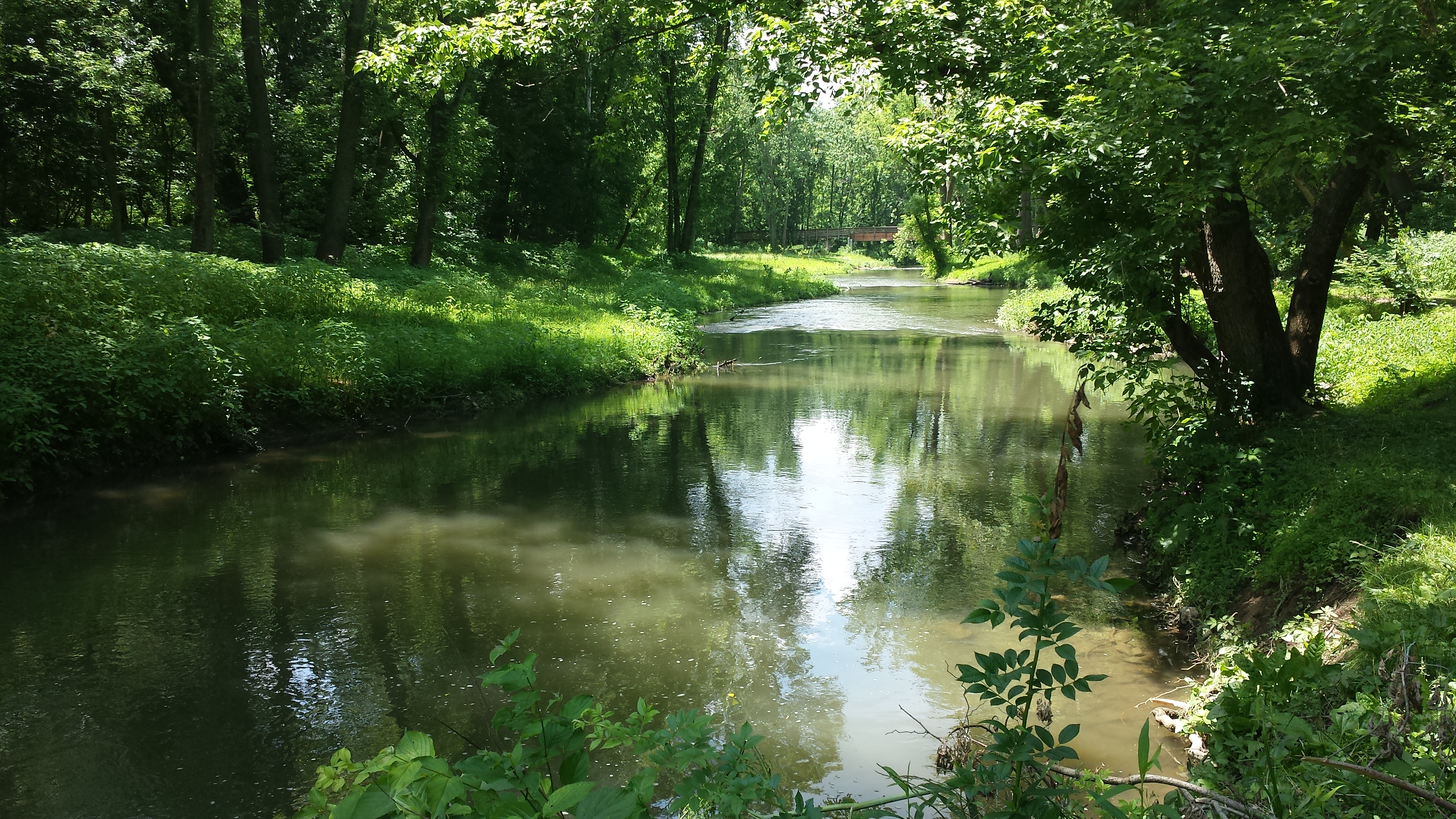
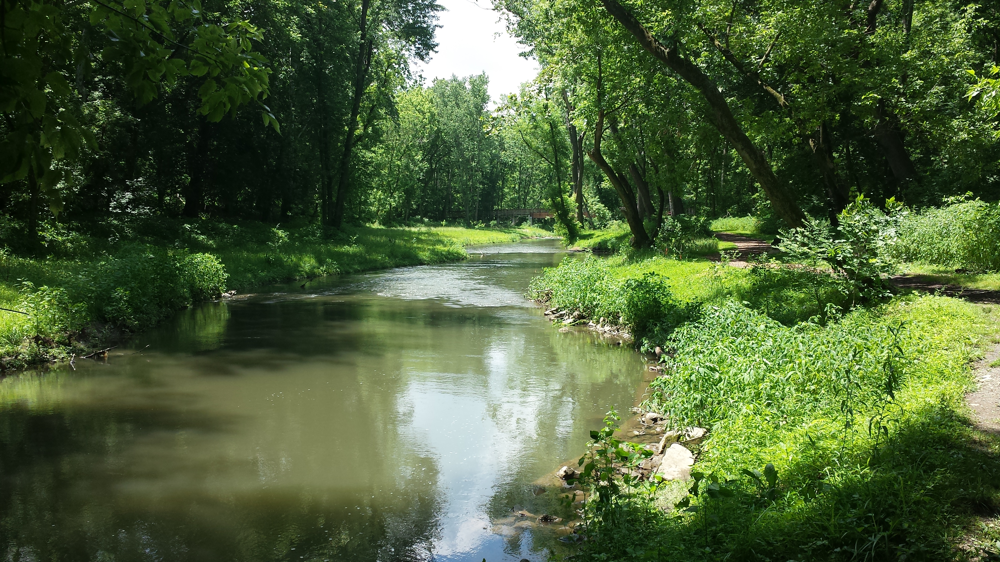
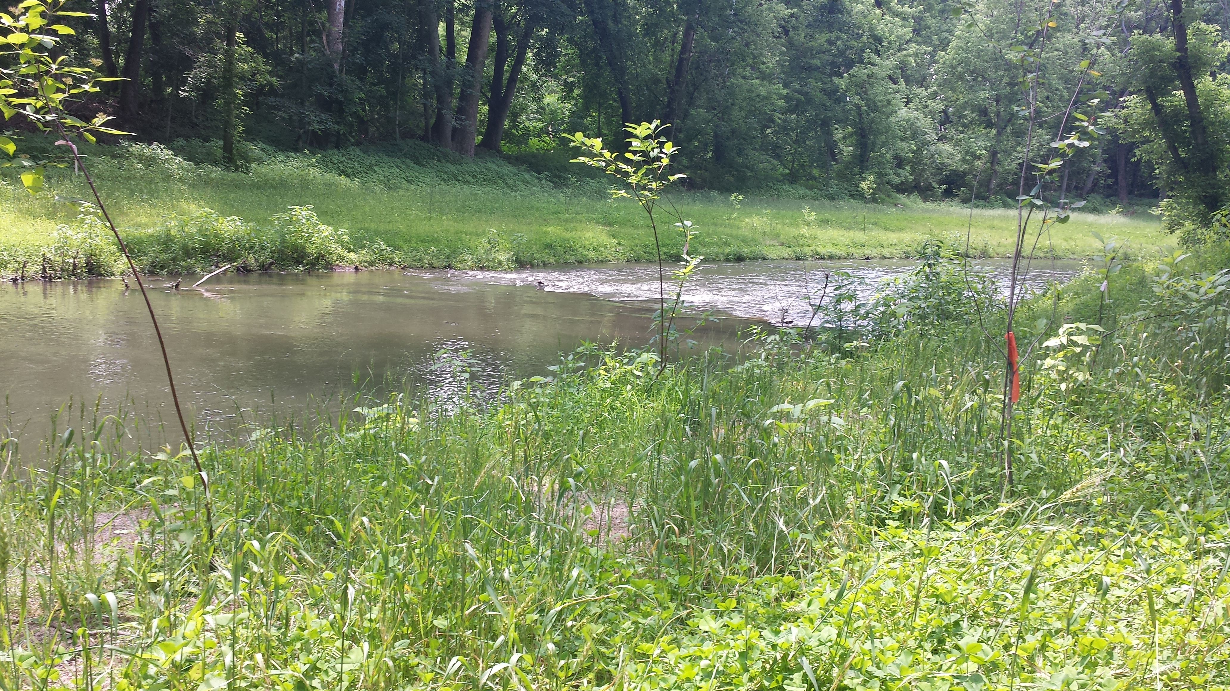
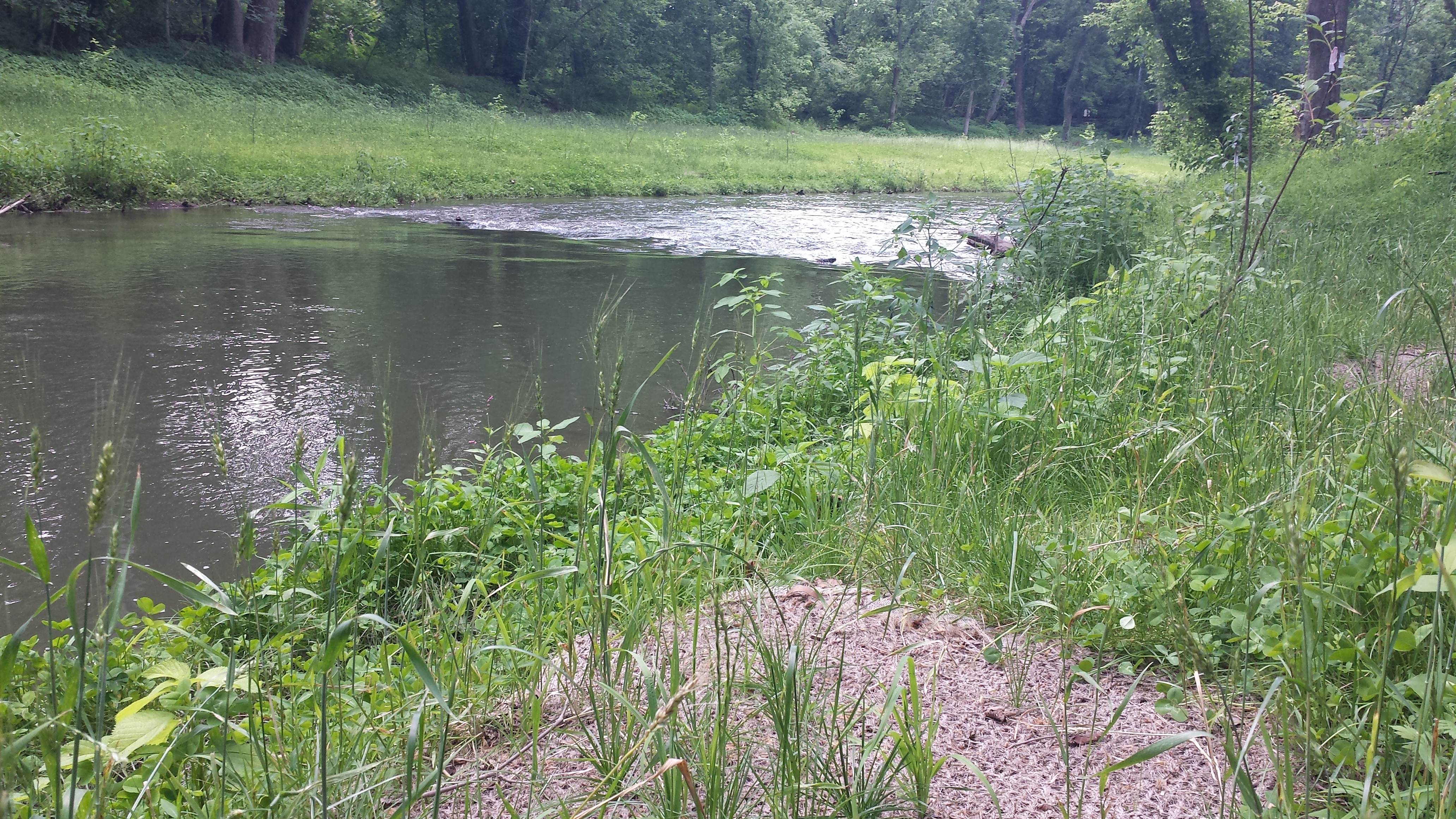
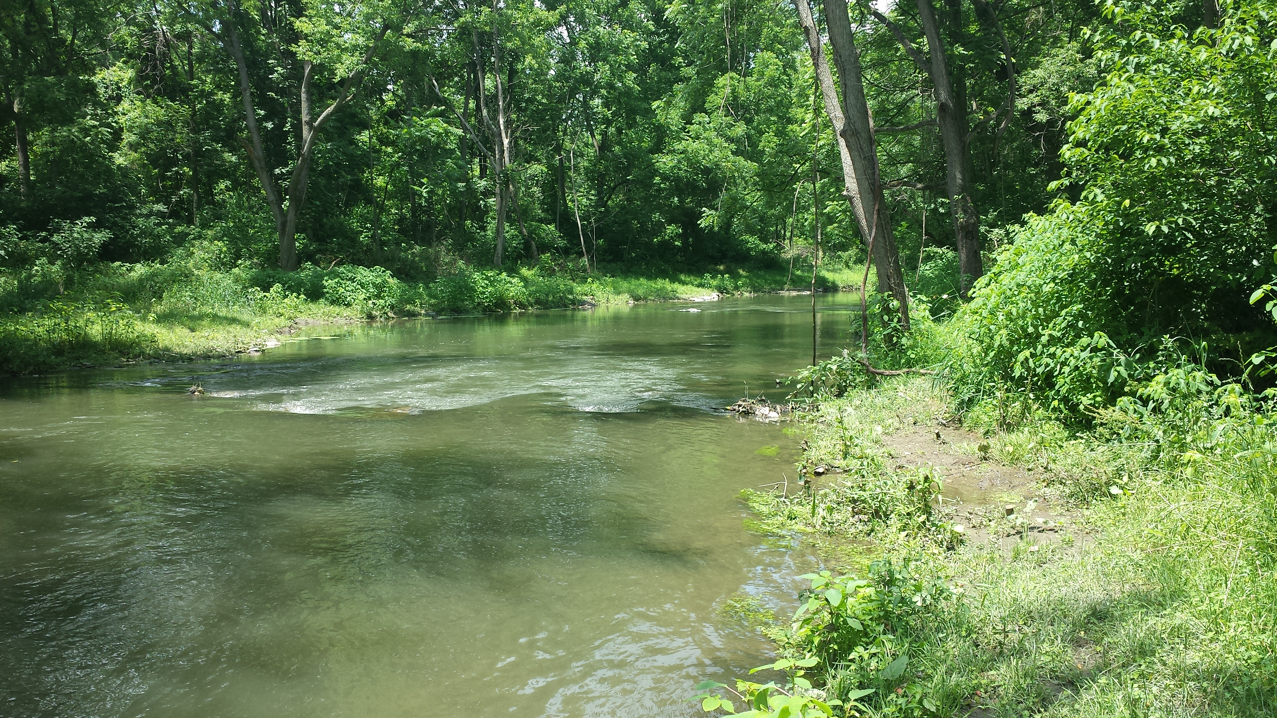
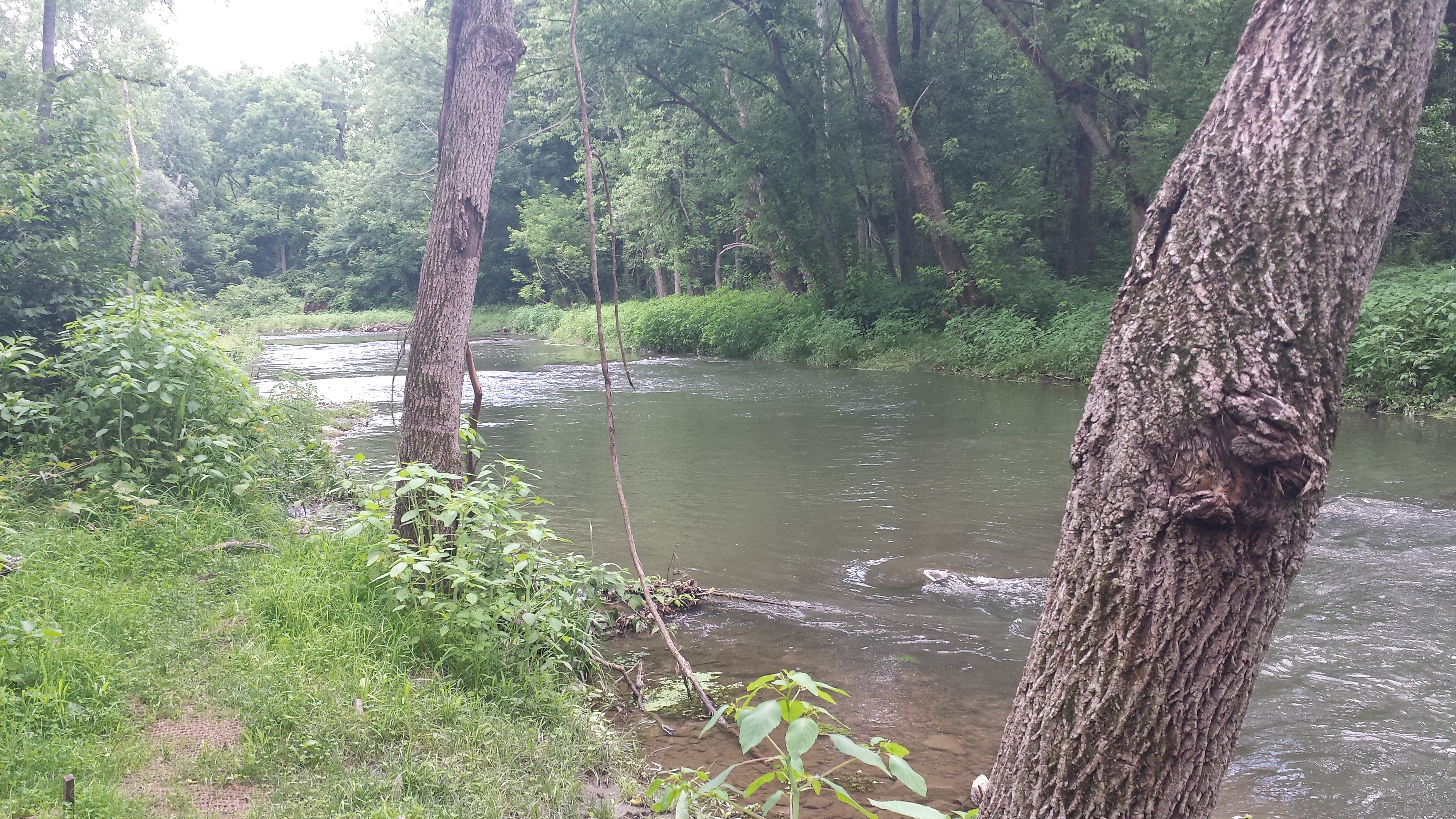
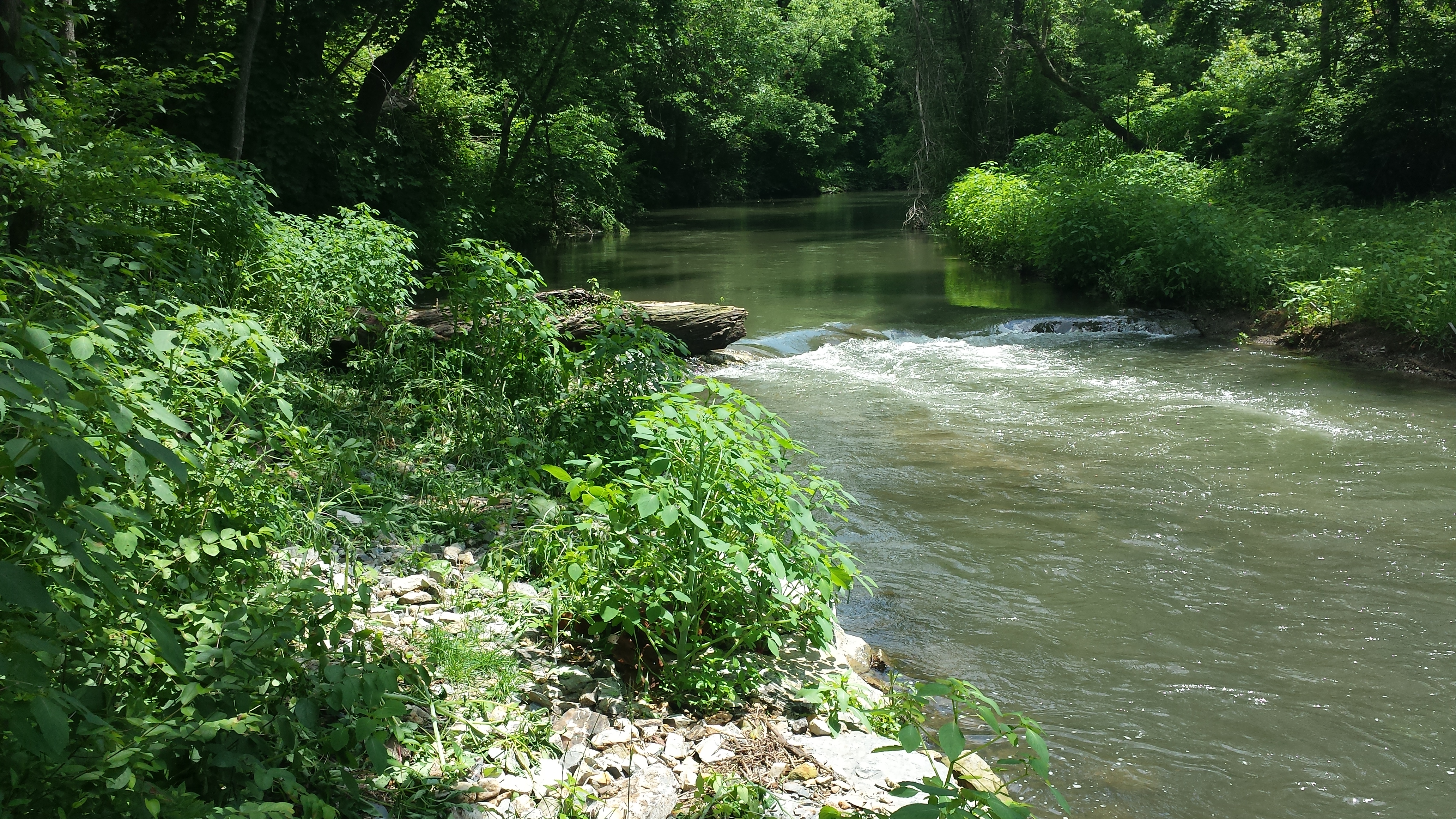
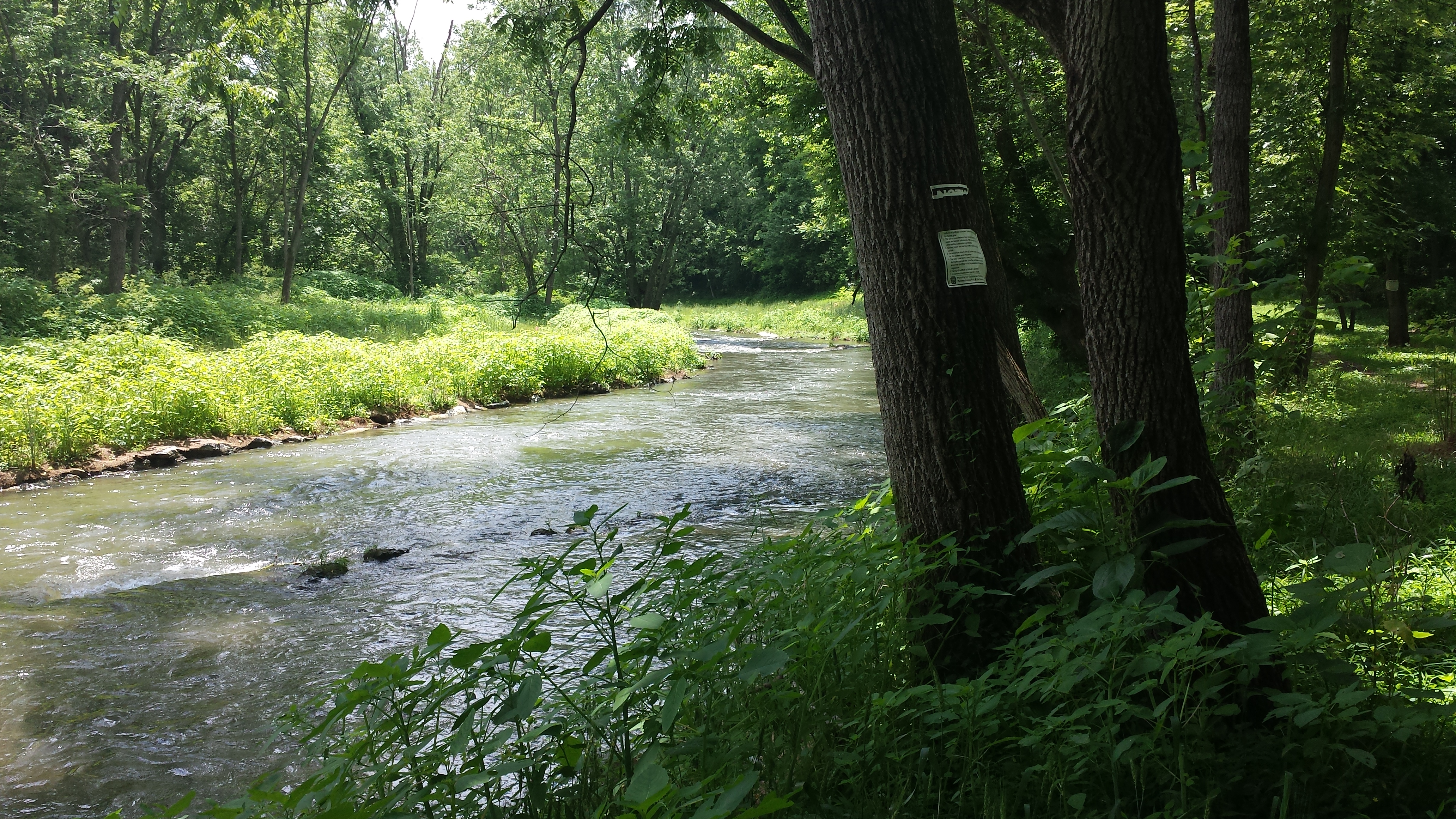
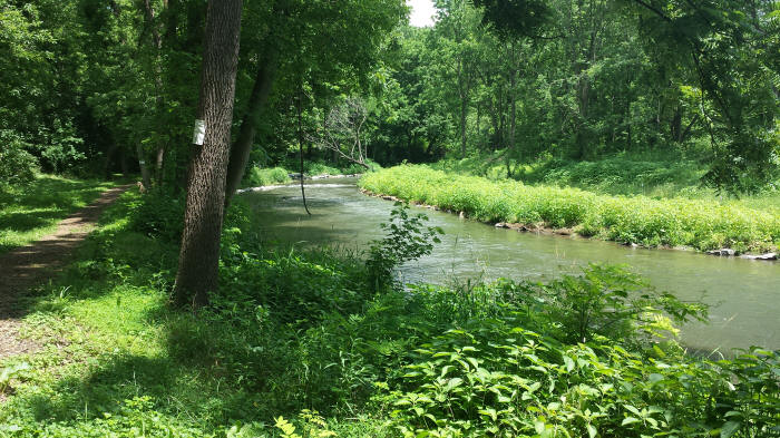
In the sequence below we continue walking downstream of the Pedestrian Bridge. The first looks back upstream, with a tiny corner of the bridge visible at right, and a section of unreconstructed but stable south bank. The 2nd walks downstream to the long, gently-sloping reconstructed north bank and the first two sets of riffles and pools downstream of the bridge. Planted saplings stand healthy in the foreground. The 3rd looks across at the stabilized and more gently sloping south bank, and hugging the bank a sizeable pile of debris peppered with plastic trash. The 4th continues downstream, with some patches of bare geotextile fabric along the bank. The saplings here are also looking good. The 5th & 6th photos move downstream to the second set of riffles downstream of the Pedestrian Bridge.

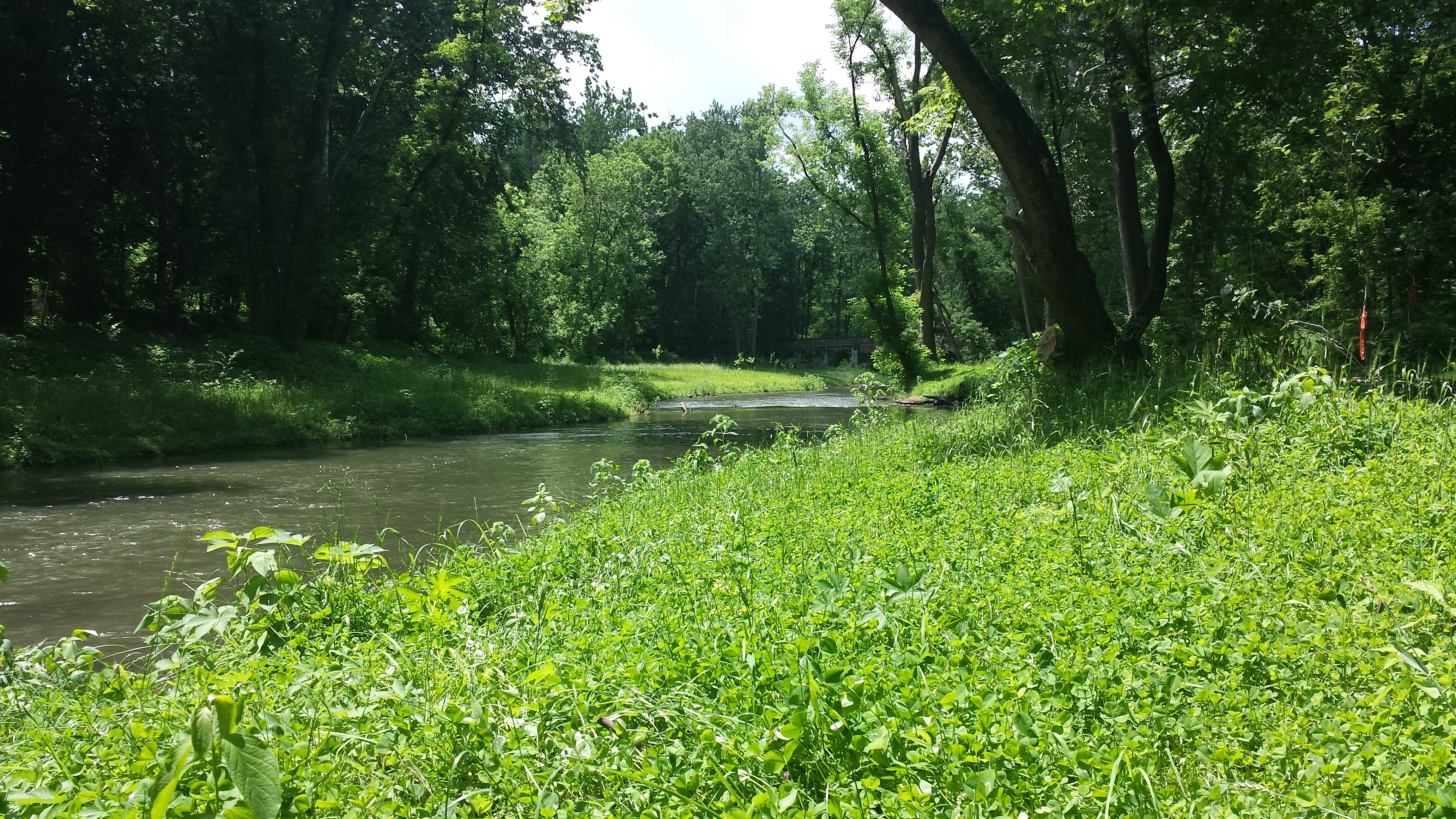
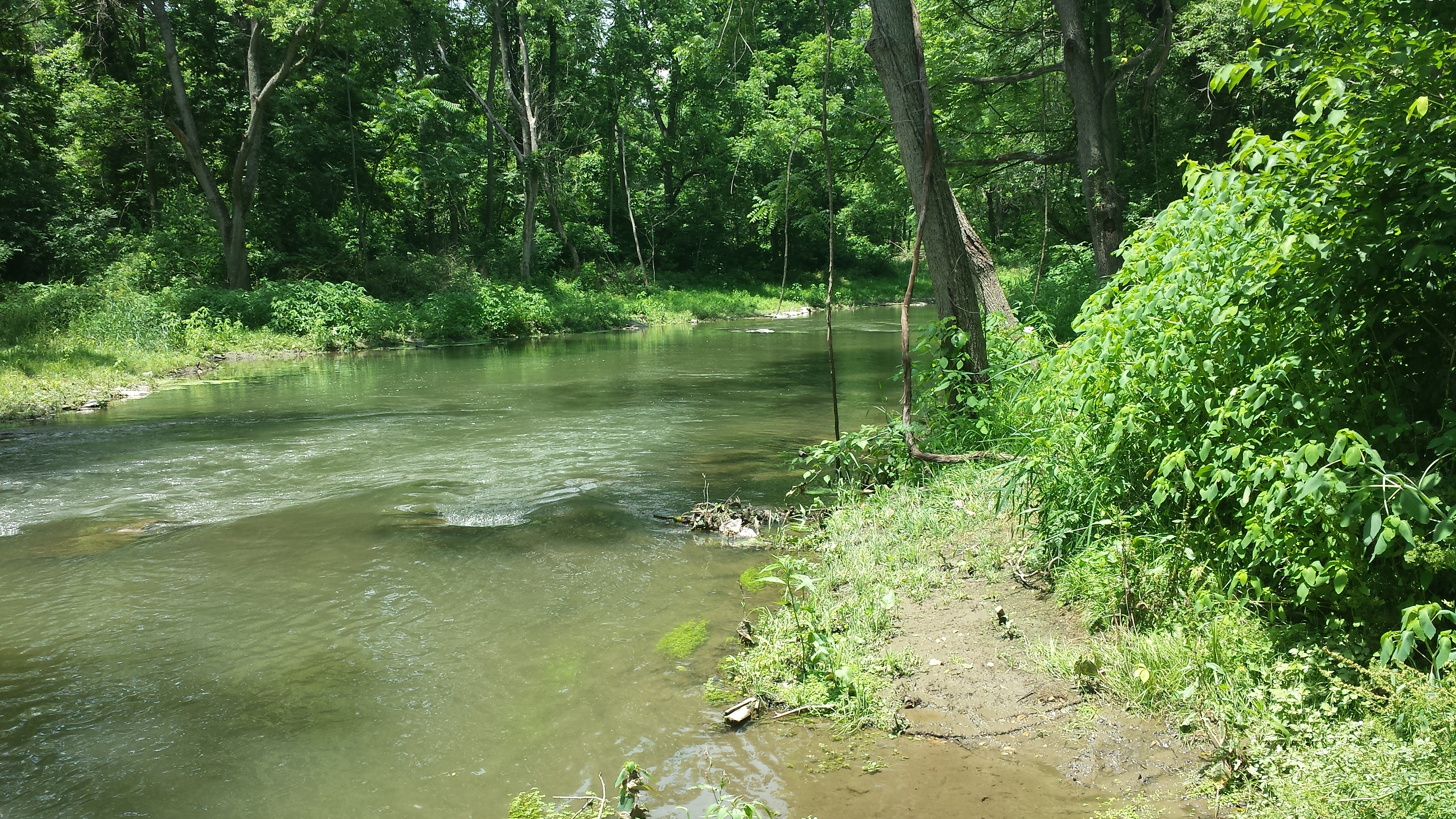
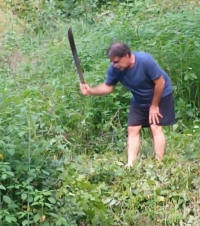
The third set of riffles downstream of the bridge is featured in the first of the photos below. We need to build some kind of little flood-sustainable non-intrusive bridge in this little section, so the path can continue past the mud little spring inlet. There's very muddy mud here. Very very muddy mud. The 3rd photo pivots & looks back upstream at the long reconstructed bank and the tiered levels that featured so prominently in the pix taken this past winter. The 4th continues downstream after heroically hacking through thick underbrush, or maybe it was going around the underbrush, to look across at the reconstructed south bank. In either case, we need to clear the underbrush here and continue the trail. The 5th photo shows said patch of underbrush, with the machete handle barely visible at bottom. The last in the row looks back upstream, toward where we need to build a little flood-proof bridge & clear some brush.

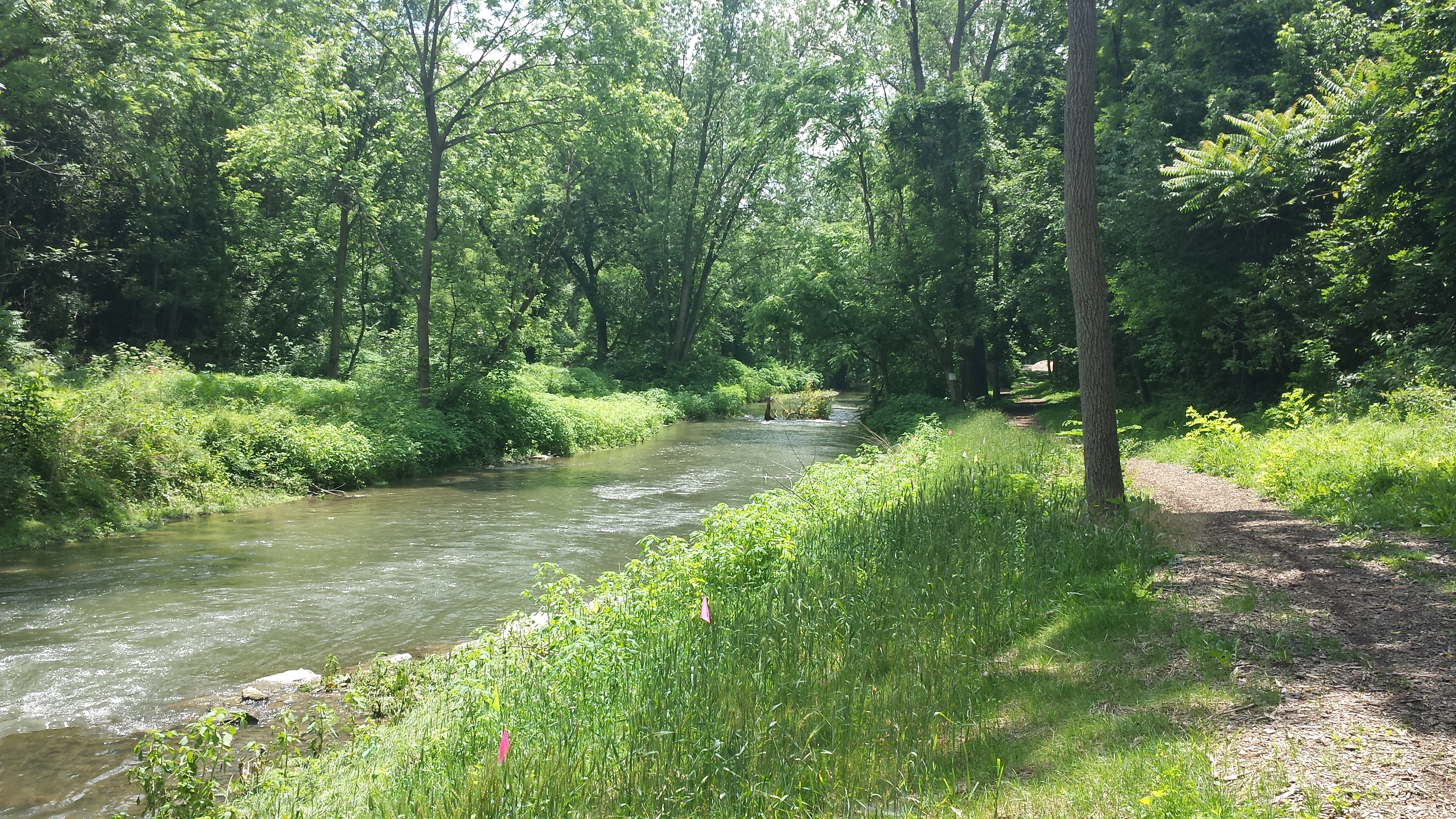
In the next set of photos we skip past about 100 yards of mostly inaccessible streambank, unless you're in a canoe or kayak. We'll have to come back & photo-document the creek & its banks in this section. Meantime we hoof it up Bachman Road to Stumpy's Little Footbridge and take a picture from the top of the stairs, with the reconstruction work very visible on both sides. Looking good!
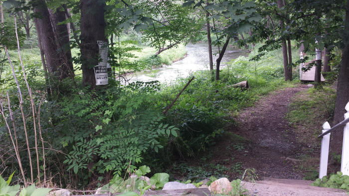
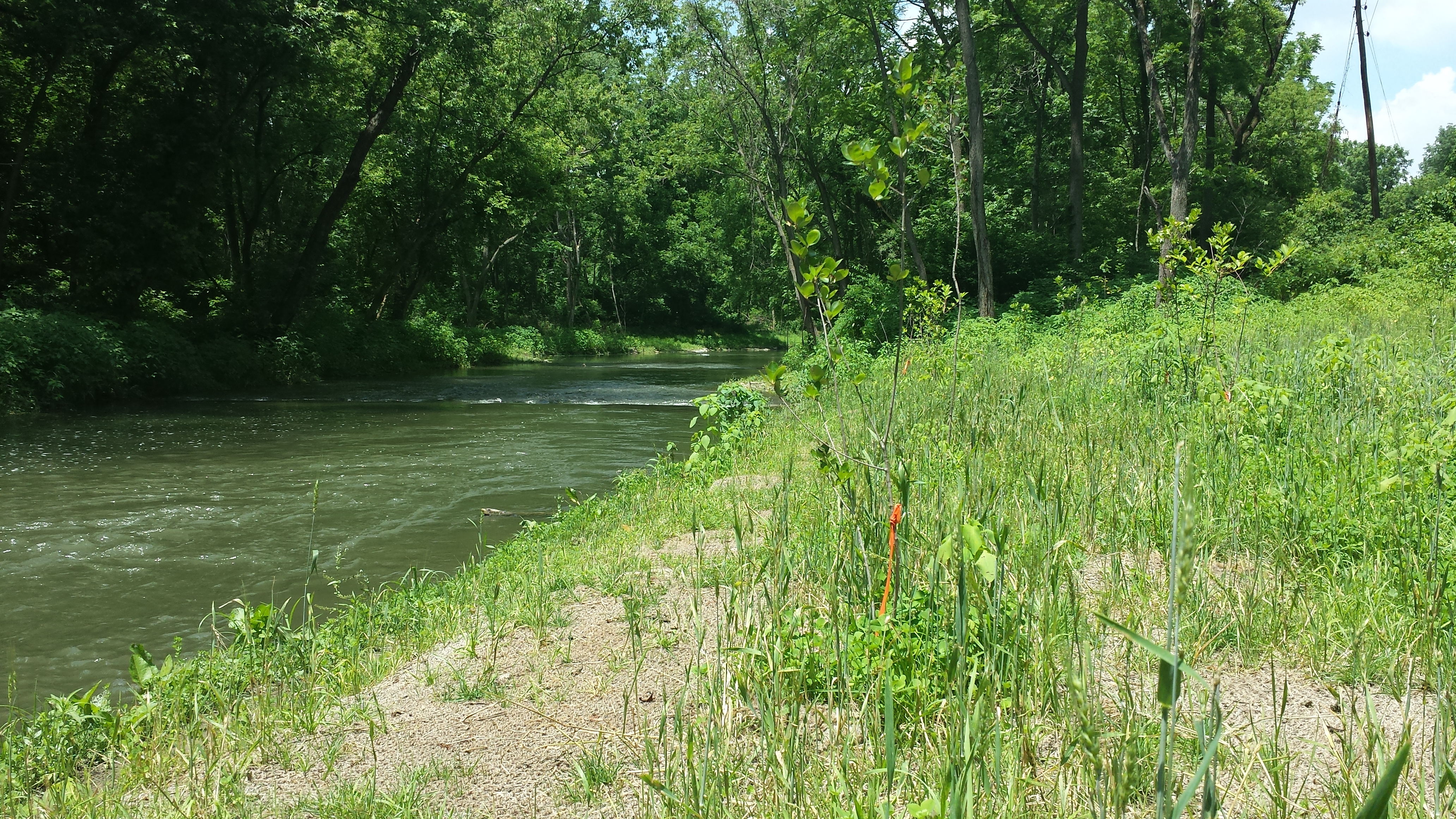
In the row of photos below, we start by walking down to Stumpy's Litttle Footbridge and surveying the mouth of the unnamed (Boger Cement) tributary, the set of riffles just beyond it, and the rebuilt north & south banks. The 3rd photo looks back upstream at the set of riffles upstream of the Little Footbridge, and shows how rapidly some areas can be taken over by aggressive & opportunistic invasive species like jewelweed. A few machete swipes made a path to the large log that's lodged on the side of the freshly-built north bank, along the newly-created riffles. Remember four months ago when all this was bare rock? Amazing. The 4th photo continues downstream to the riffles featured in the first two. The 5th, looking across to the south bank, shows similar vegetative exhuberance. We still need to plant trees in this section, as we do further downstream. The red flags visible in the last photo, across from the big log in the riffles upstream of the Litltle Footbridge, were helpfully sited by QWA volunteer Alan Wood.
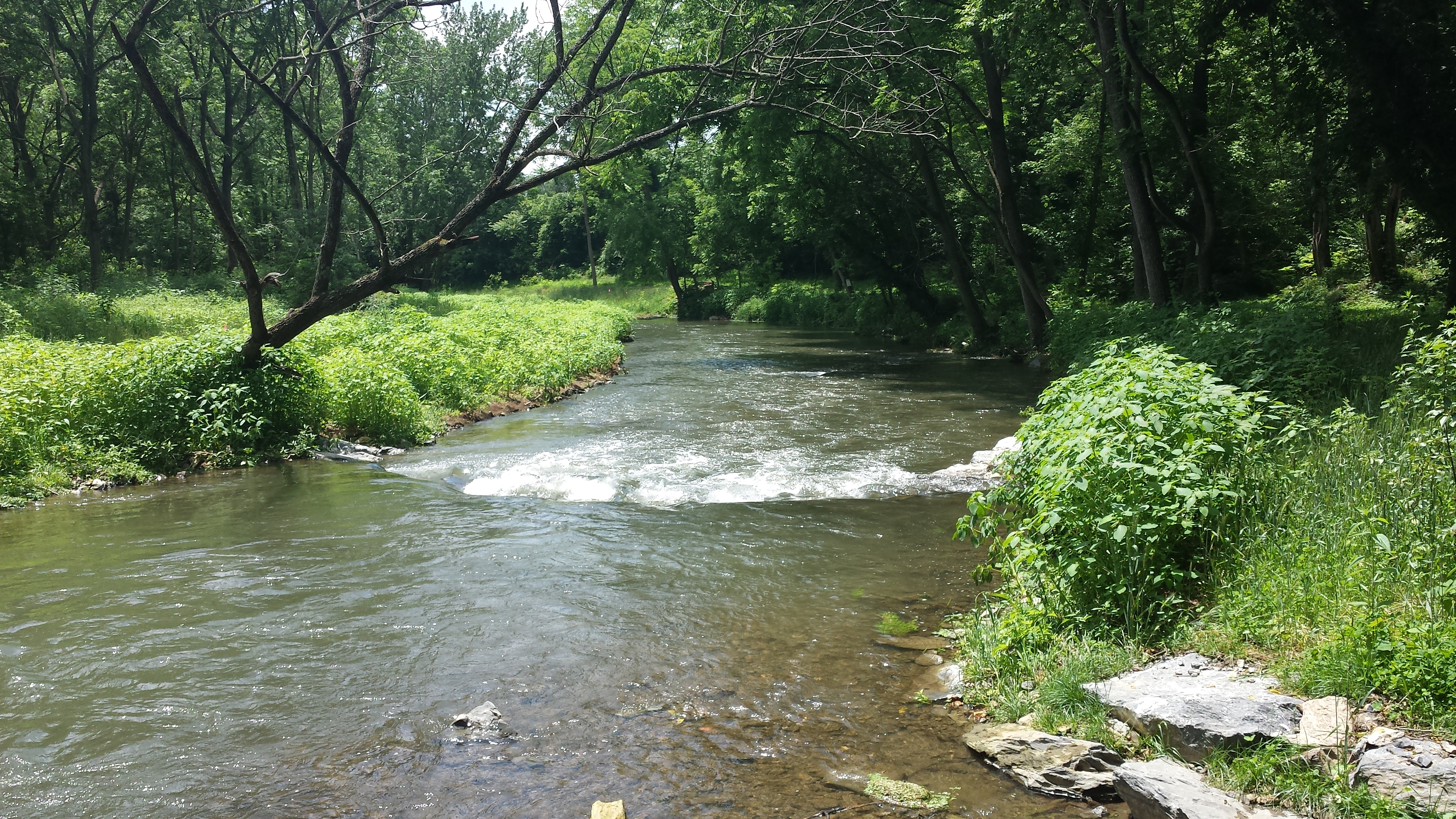

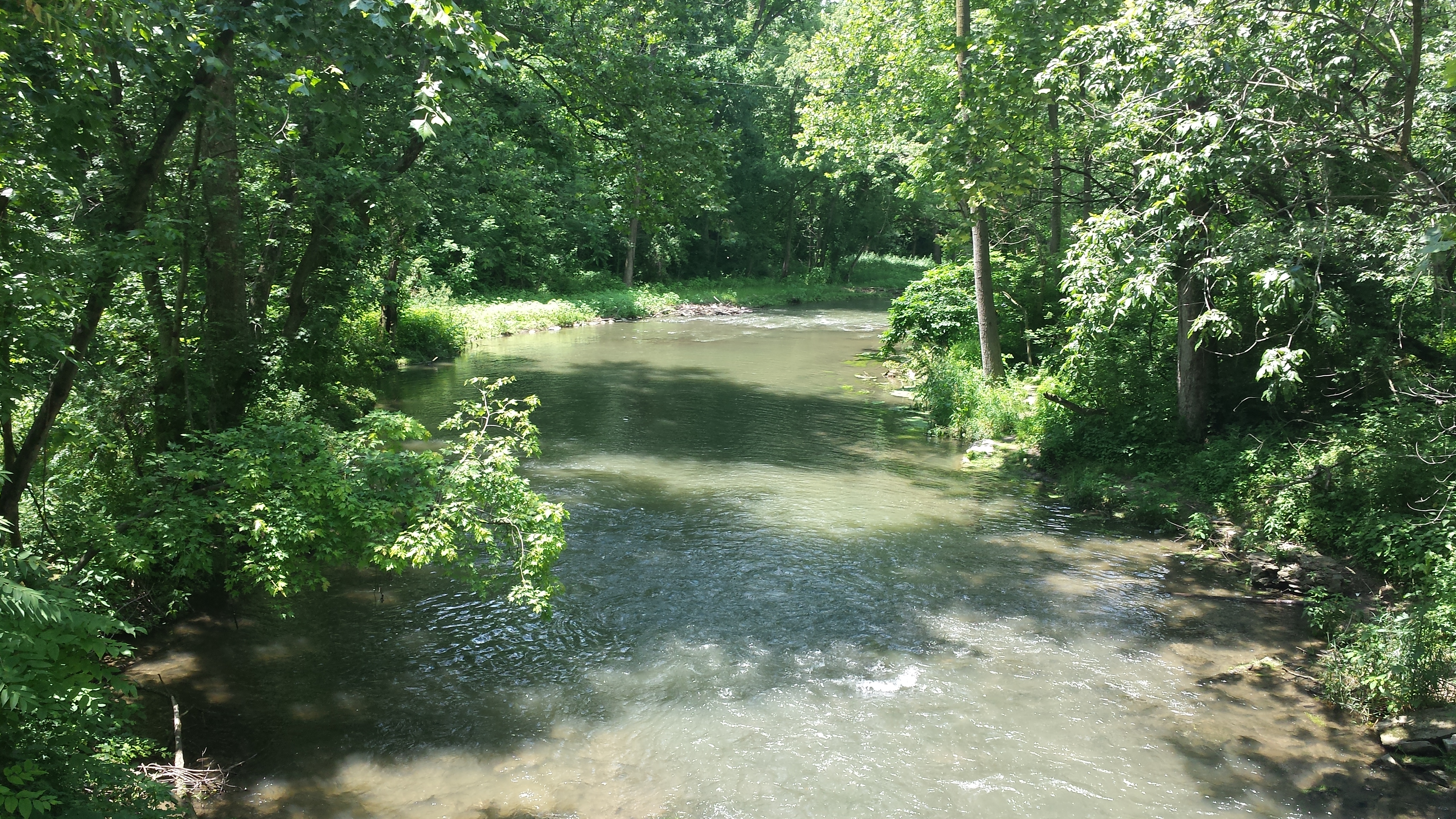
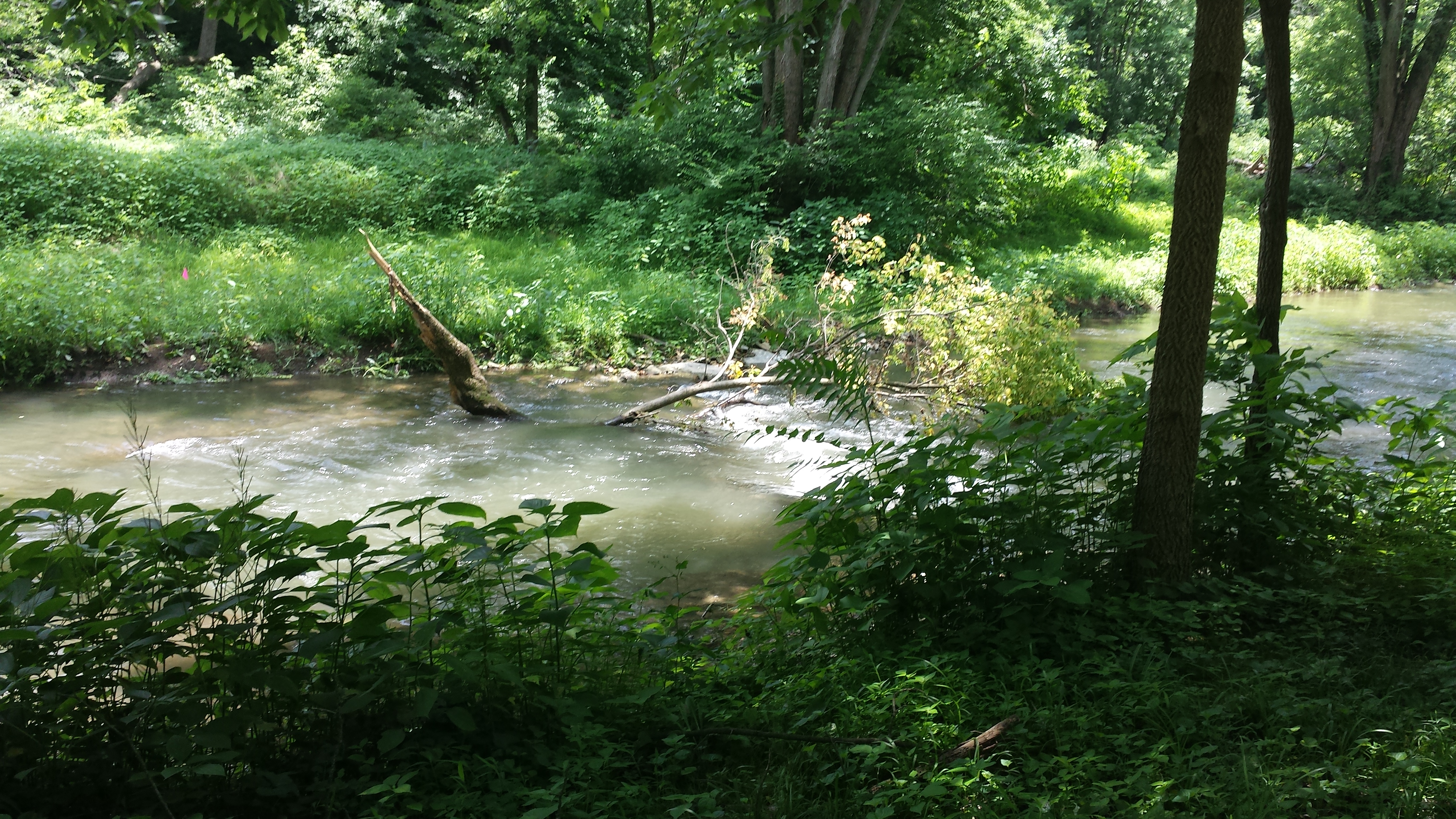
Continuing downstream, we see the extensive reconstructions of the channel and both banks in this section. This has got to be one of the loveliest short walks in all of South Central PA -- and will be even moreso once all this work has taken root and matured.


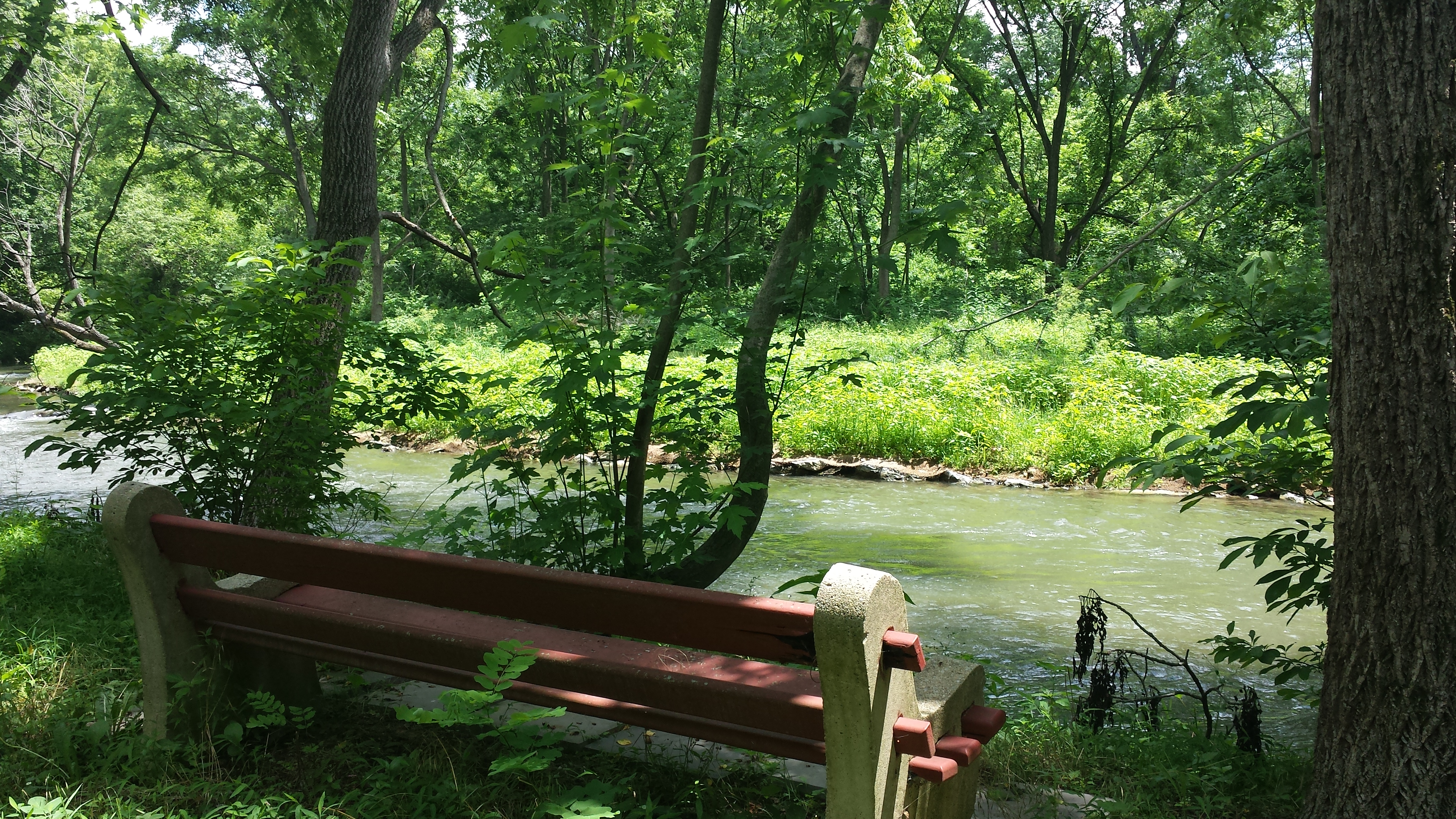
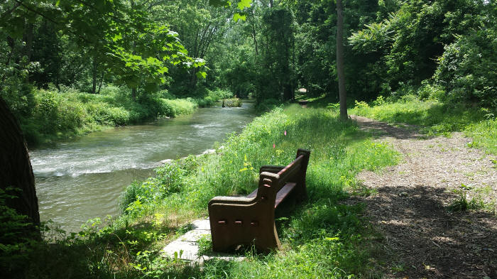
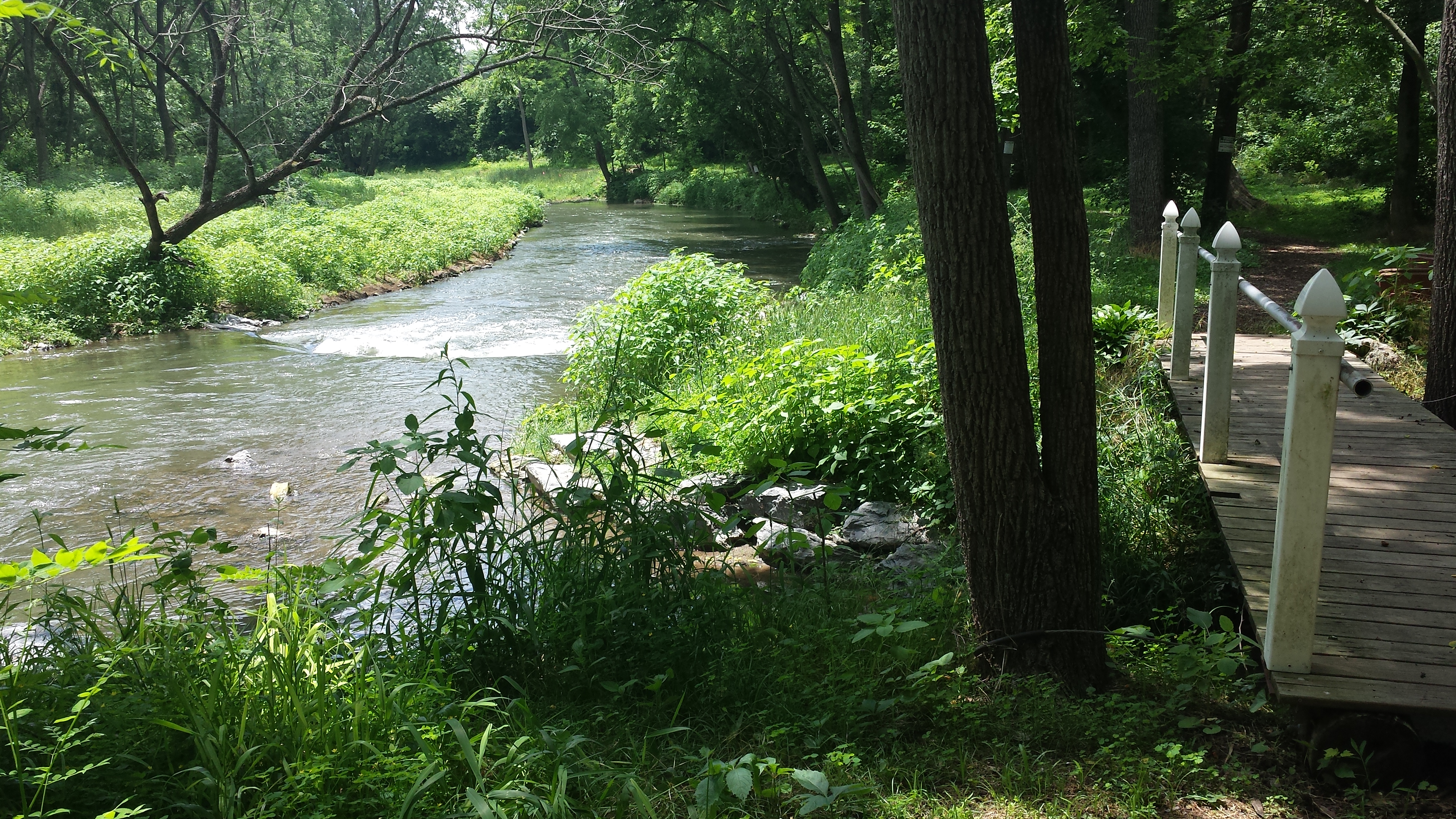
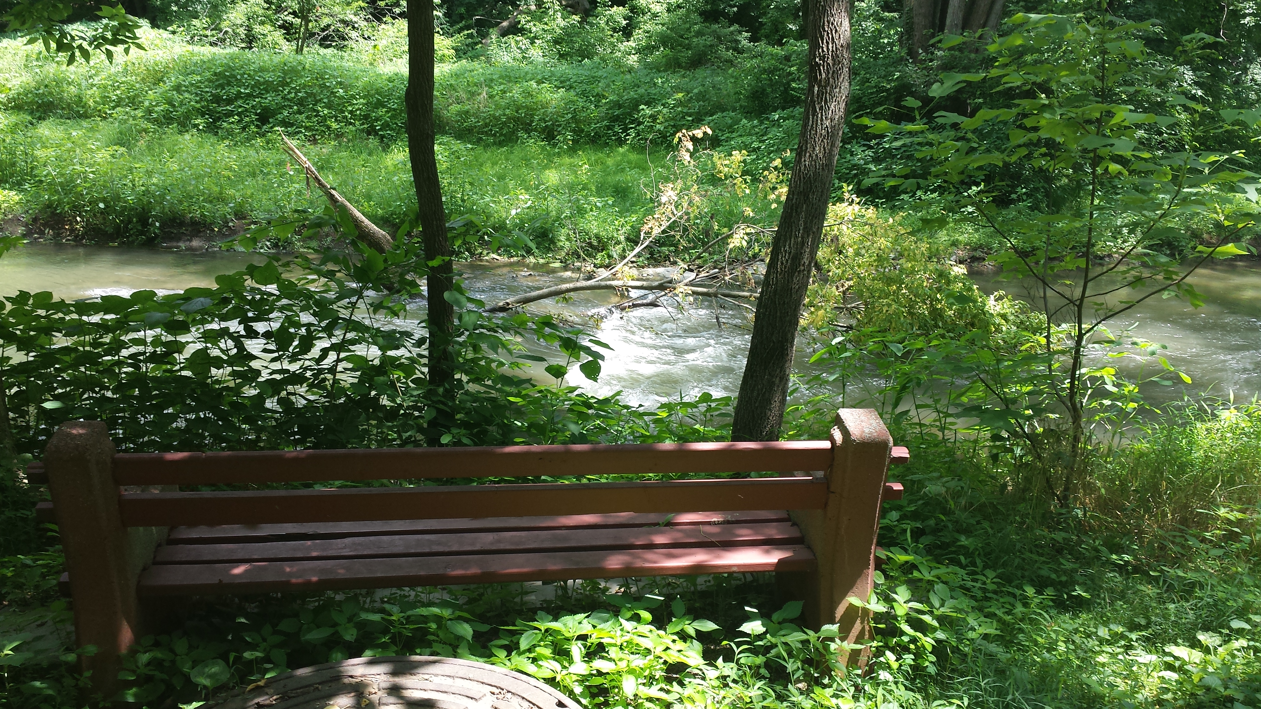
Note the red flags in the photo above, barely visible in the grass above the bench. In fact there's a whole bunch of red & white & neon-green flags in this 100-foot section -- about 20 in all -- color-coded to correspond with types of saplings and placed by Alan Wood to facilitate volunteer planting. Note this spot, because we're going to see some volunteers doing some tree-planting here a bit further down the page.
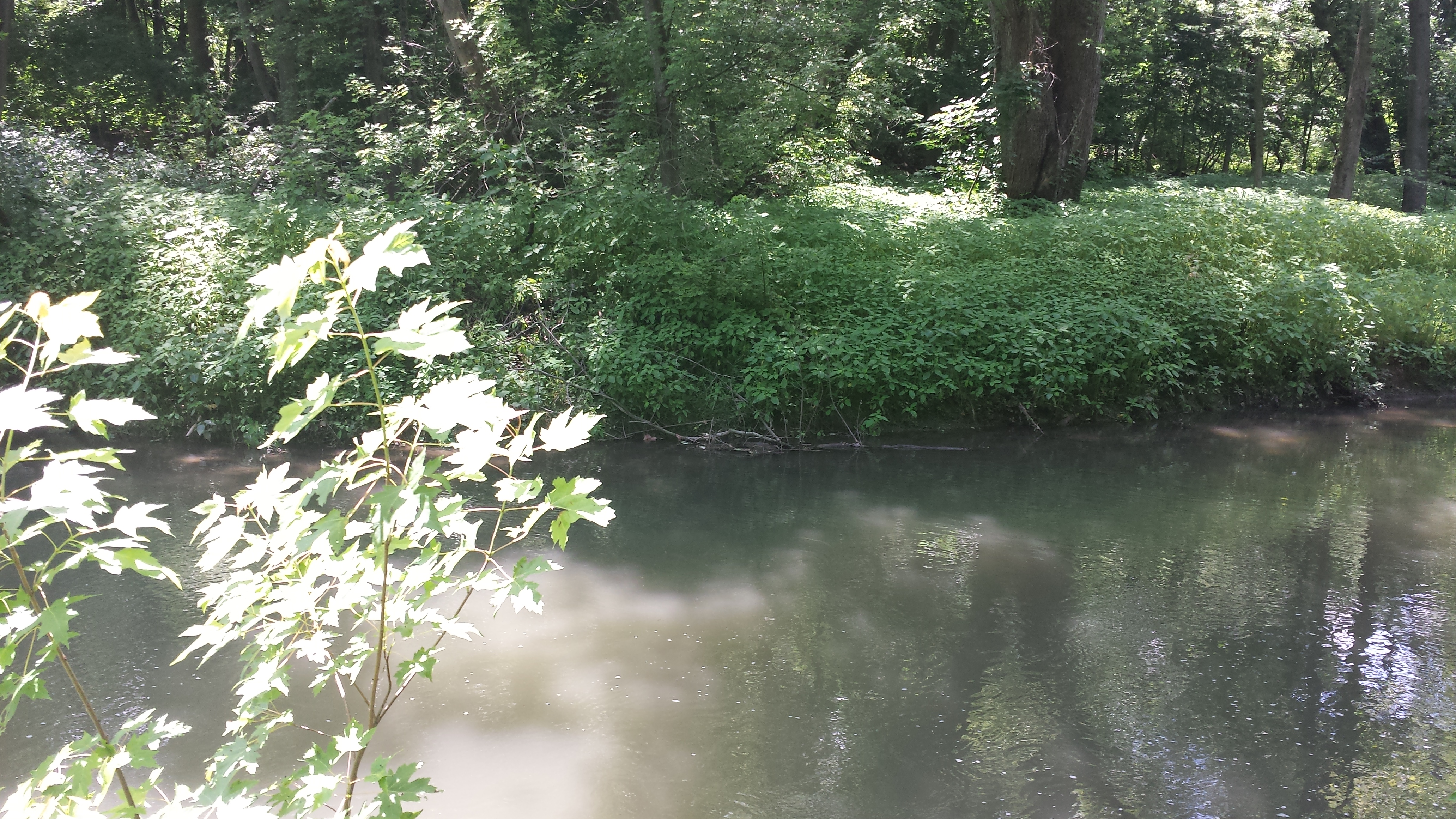
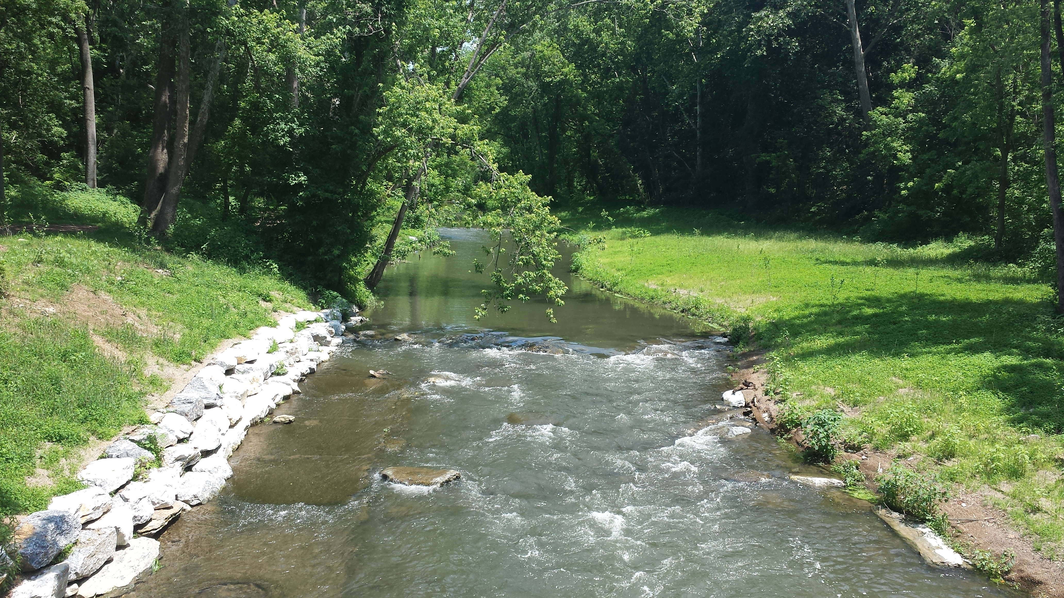
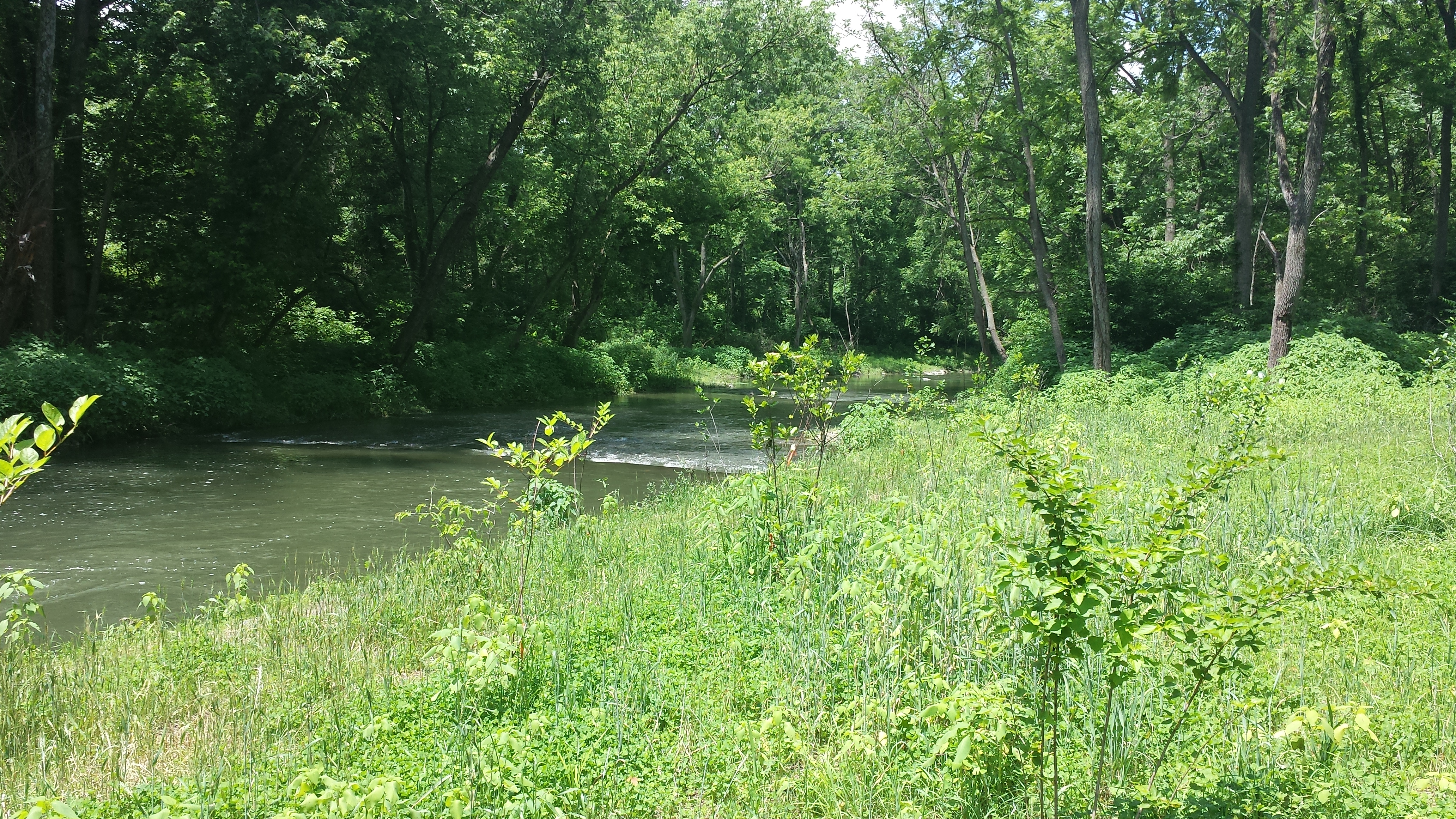
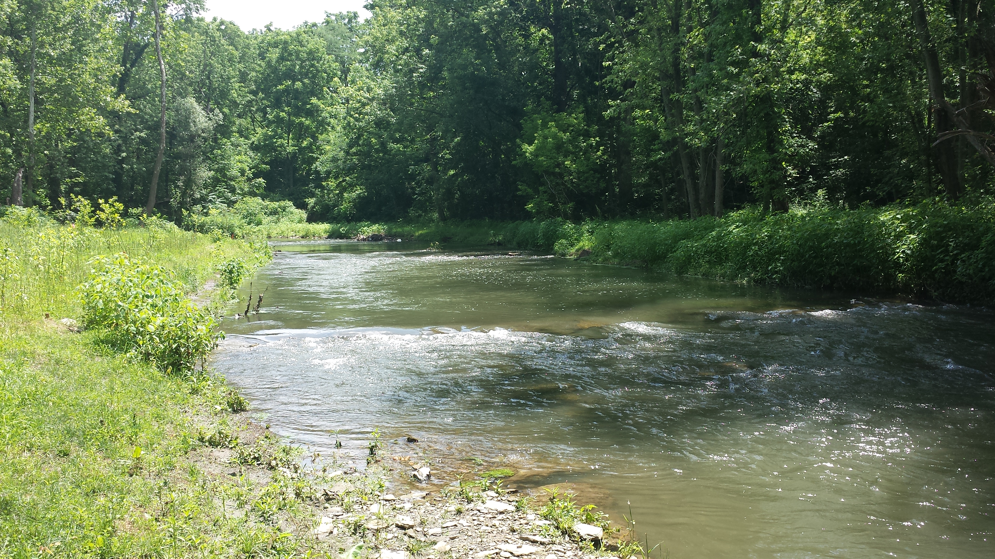
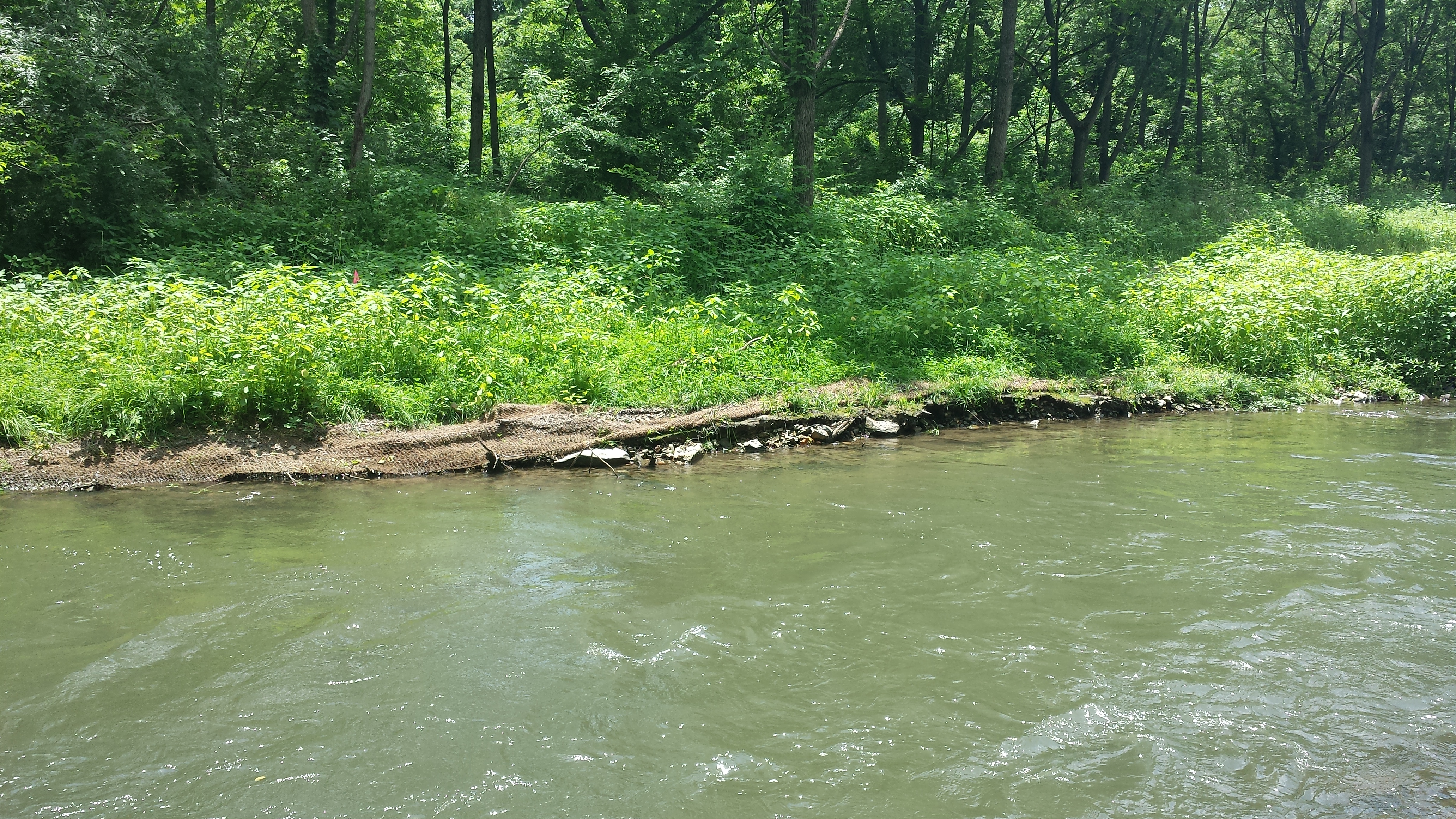
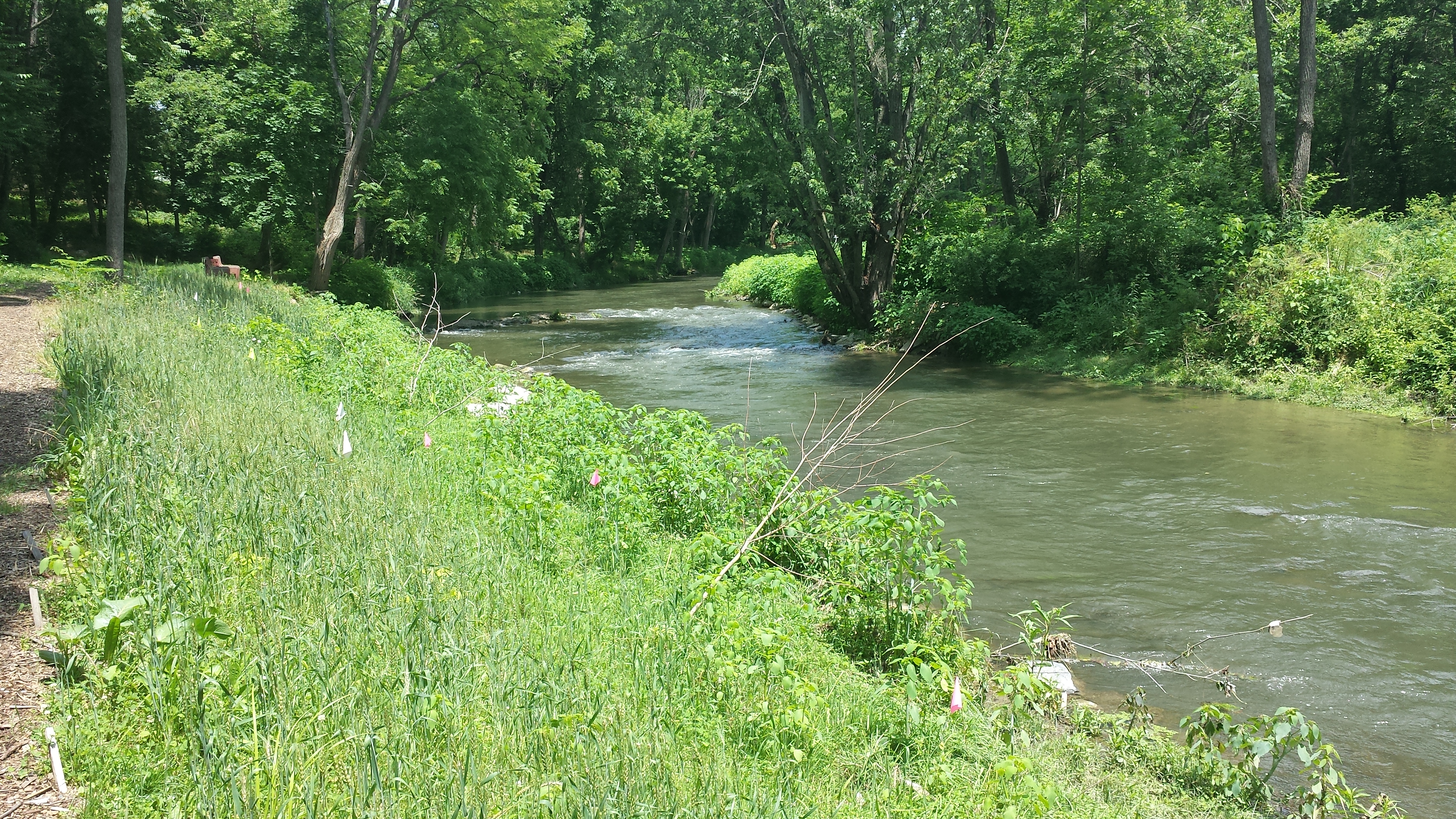
This 100-foot section just downstream of Stumpy's Second Bench is featured in first photo in the row below; the 2nd photo was taken a bit further downstream and pivots & looks back upstream at the south bank and riffles. The third pivots a bit further toward the bench at left. The 4th & 5th go a bit further downstream, and the 6th a bit further down still & looks back upstream.

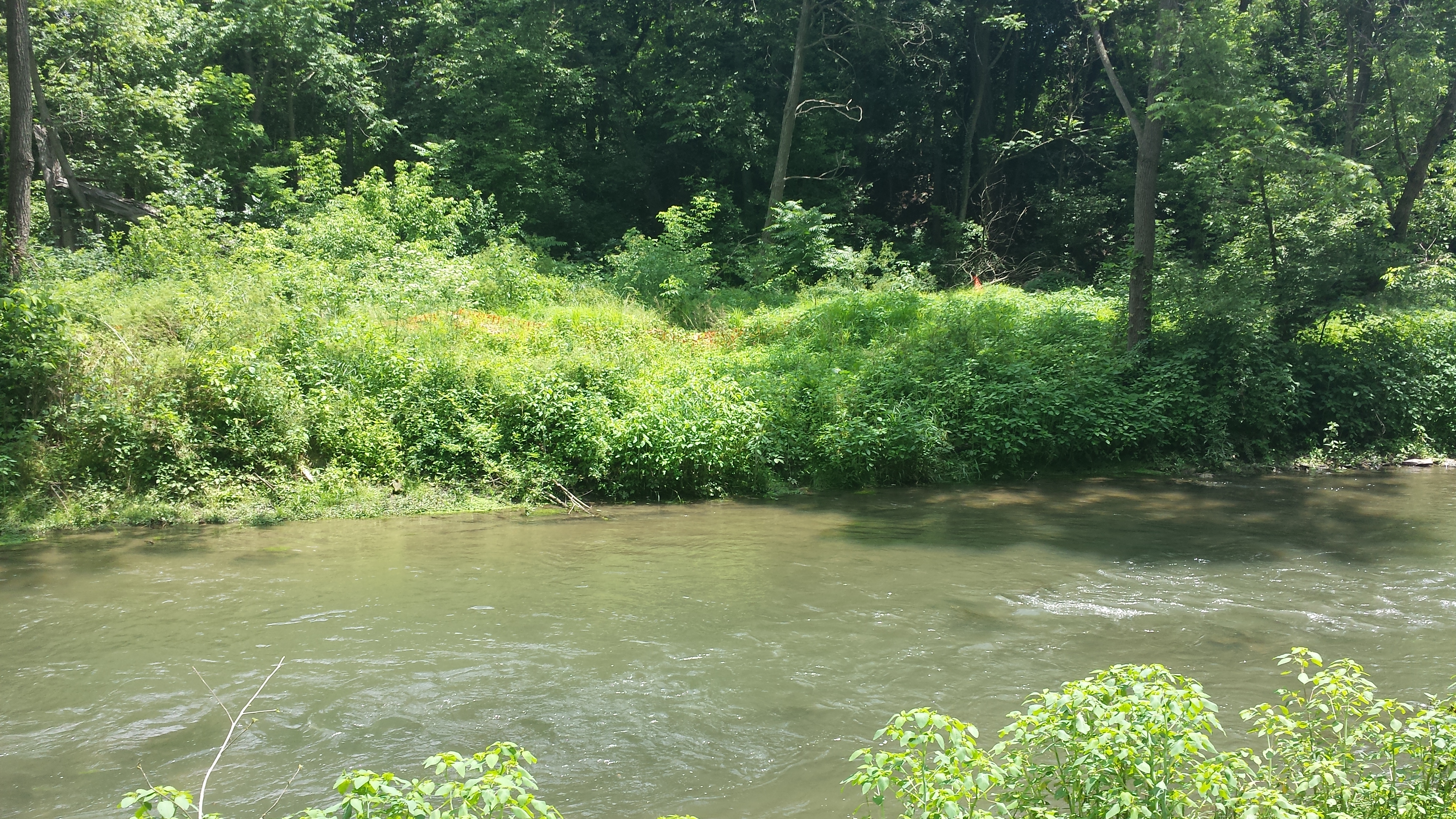
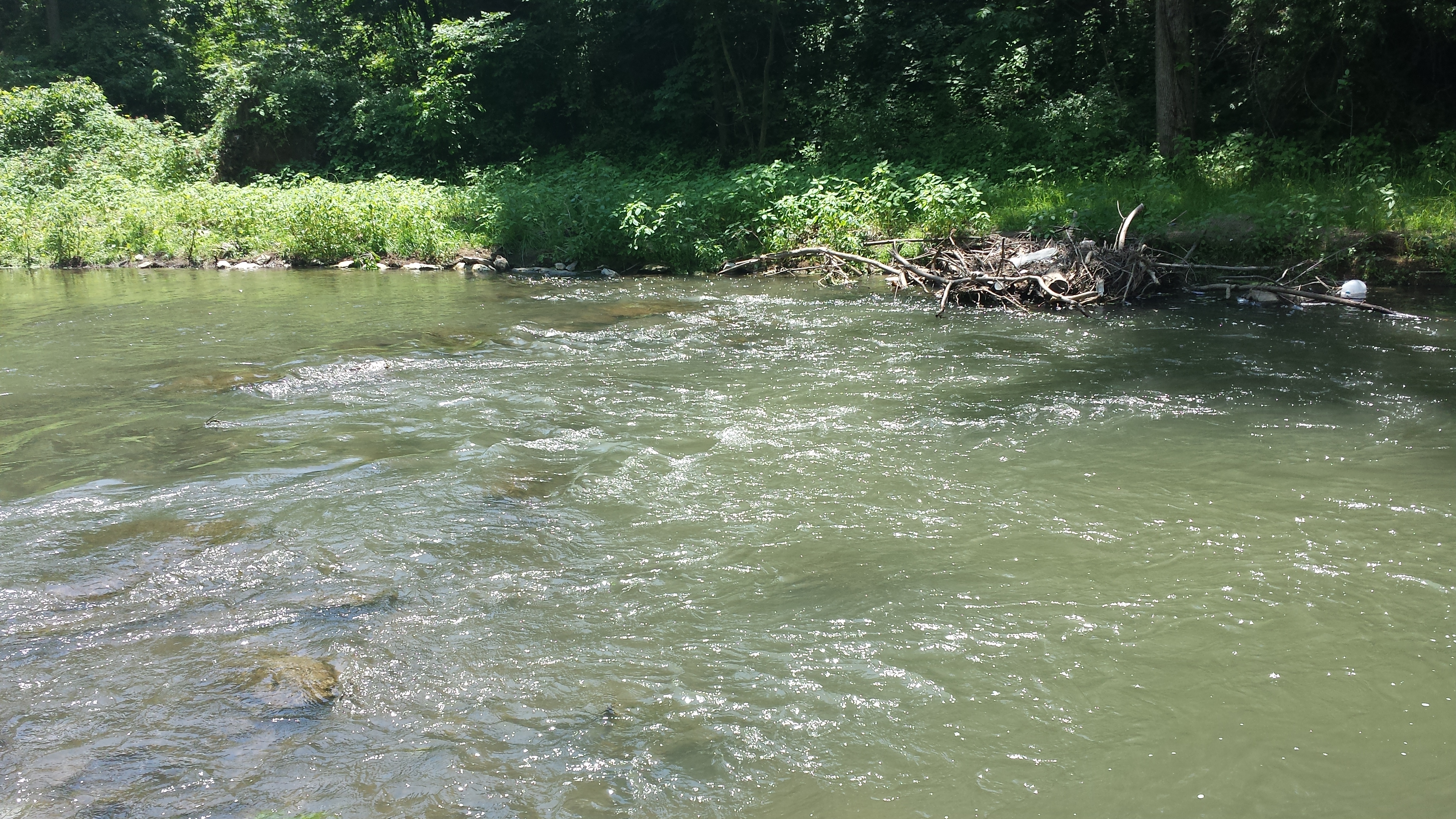
We continue walking downstream in the row of photos below. The 2nd & 3rd photos show a big limb caught up on the row of boulders used to create the shallow riffle -- a new feature of this section of the creek that might turn into a problem over time. The 4th & 5th photos show the rebuilt banks of the spring that flows into the creek from the south side -- and the downstream-most point of Phase 1 of the project. The final photo in the row below turns around & looks back up Stumpy's Trail toward his Little Footbridge.

.jpg)

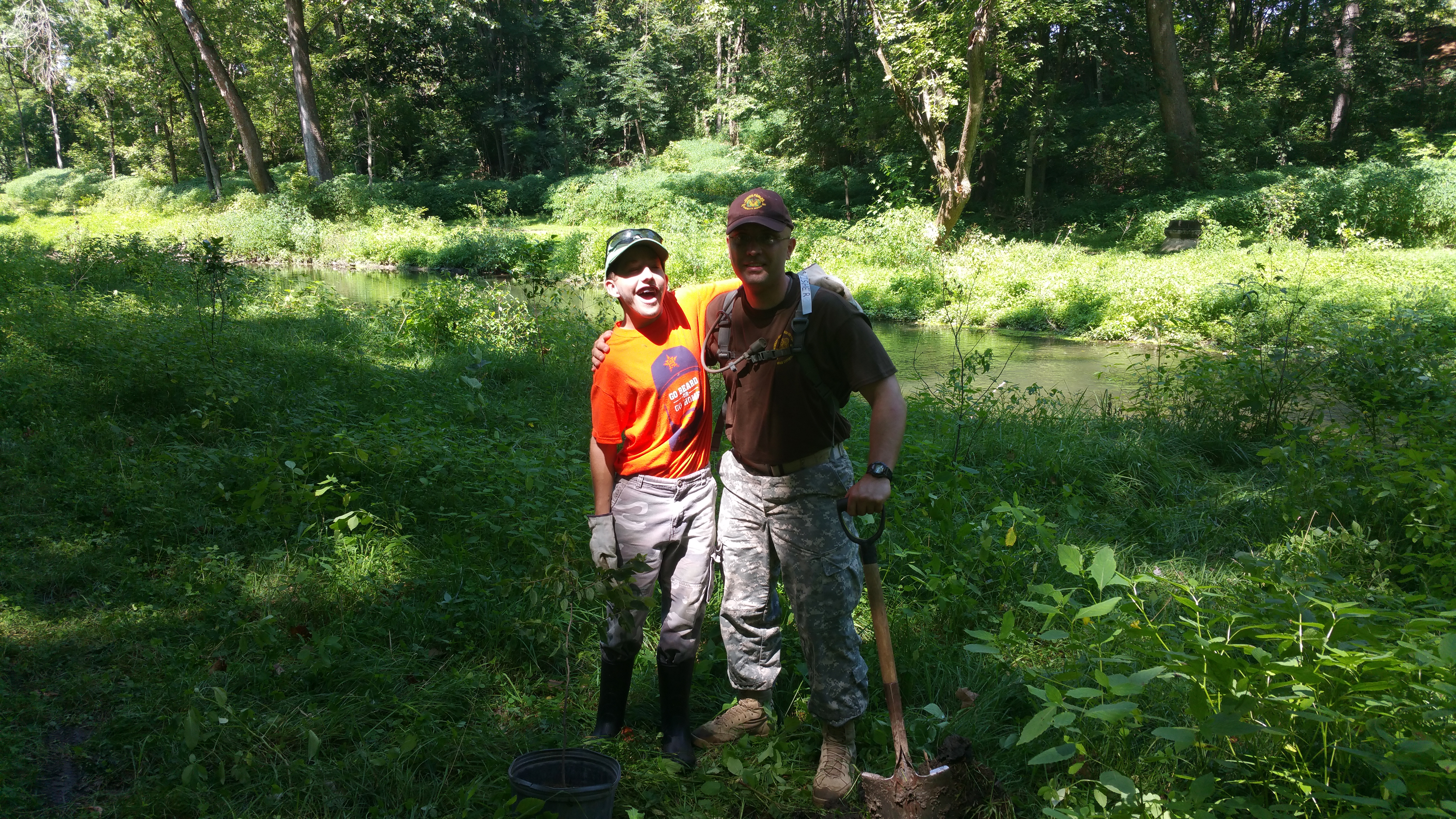
Week 33: Volunteer Planting Crews, Wednesday, June 24, 2015
On Wednesday, June 24, some one dozen local residents came out to help plant the remaining trees generously donated by Michael S. Hollins, the President of Sylva Native Nursery & Seed Co. of Glen Rock PA. The remainder of this page is given over to photos of one of these volunteer crews hard at work planting the chokeberry, ninebark, and waterberry saplings that have been sitting in pots by the Pedestrian Bridge since April. At the same time another volunteer crew, headed up by Owen Moe, was busily planting more trees nearer the Pedestrian Bridge. We don't have photos of that crew, but we have some of the folks who worked downstream of Stumpy's Little Footbridge. Below are pictured Boy Scout Johson, his grandfather Charlie, and at right with the post-hole digger, Boy Scout Troop Leader Mike Eschenfelder, a longtime volunteer in the Nature Park.
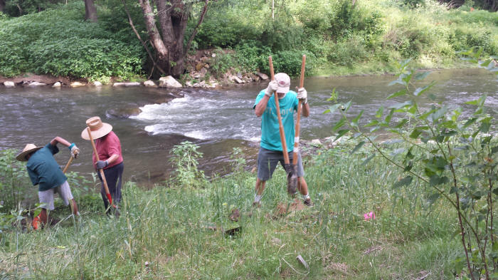
Below: Annville resident & QWA Board Member Doug Nyce and his son Liam hard at work digging through the geotextile fabric to plant the chokeberry & waterberry saplings donated by Sylva Nursery.
Below: Boy Scout Johson takes a break as his grandfather Charlie & QWA Co-President Dave Lasky look on.
Below: Annville resident & QWA Co-President Mike Schroeder heroically grunts his way through the geotextile fabric in this section, as Mike Eschenfelder, Johson & Charlie work on the upstream portion.
Below: Another gripping action shot of our hardworking volunteer crew.
Below: As dusk approaches, our little volunteer crew packs up, and peace & quiet once again descend on this little section of the creek — now successfully planted, as marked by the little colored flags, with 20-some chokeberry, ninebark & waterberry saplings!
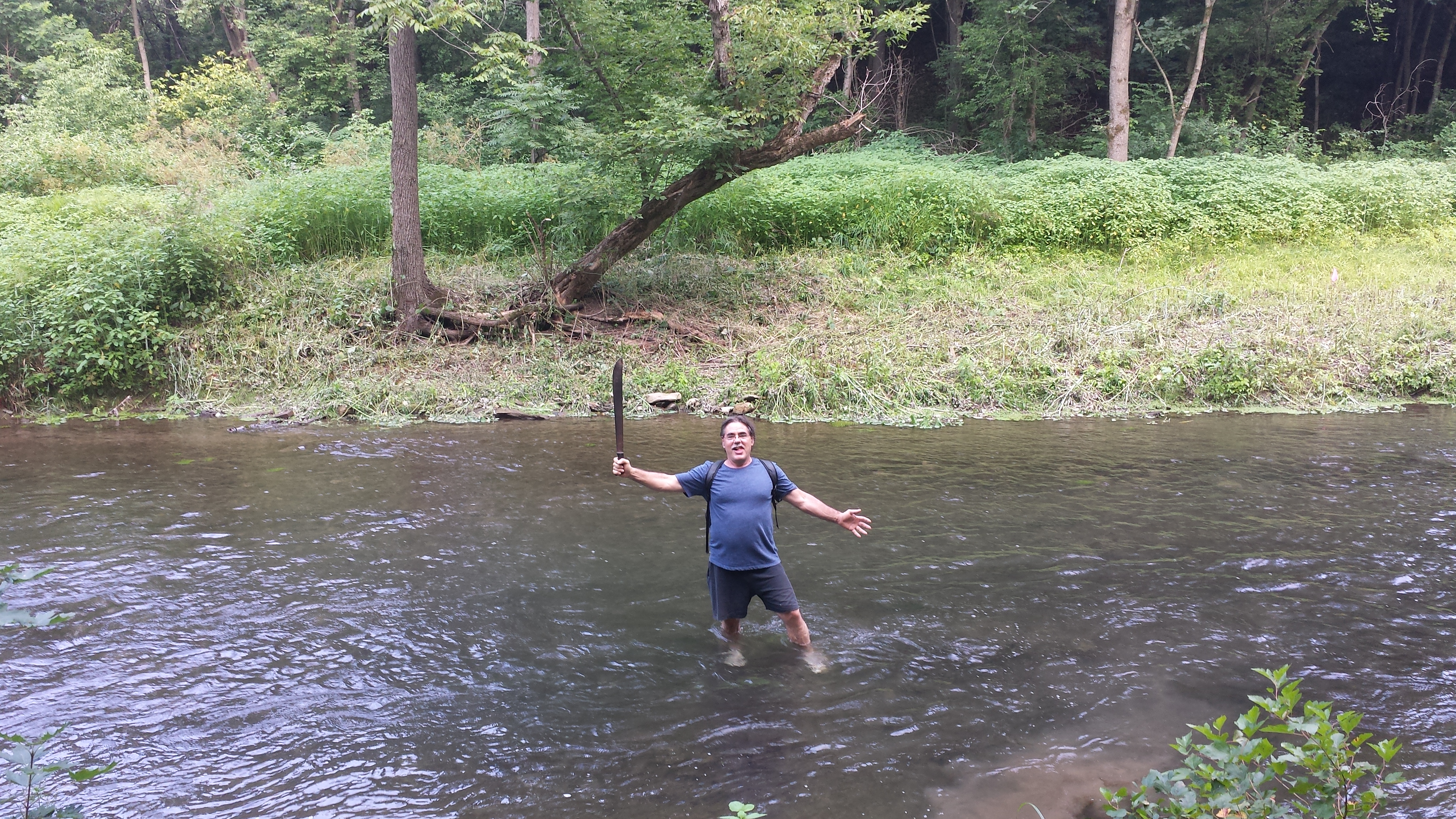
Weeks 34-38: July 2015
 The main activity of note during these hot
summer weeks was an effort to clear the tall weeds
from areas where saplings needed to be planted to
stabilize the newly-built streambanks, mainly on the
south bank downstream of Stumpy's Little Footbridge,
as seen in these photos, featuring the QWA's expert
machete-man Mike Schroeder. After an hour or
two of macheting every few days, an area a couple
hundred yards long and 10 yards wide was cleared &
readied for planting. The only casualties were
a swollen left hand & right arm & left leg in consequence of sudden
attacks by swarms of ground-dwelling yellowjackets.
A counter-strategy against these nasty
stinging creatures was soon devised:
Run Away ! ! !
The main activity of note during these hot
summer weeks was an effort to clear the tall weeds
from areas where saplings needed to be planted to
stabilize the newly-built streambanks, mainly on the
south bank downstream of Stumpy's Little Footbridge,
as seen in these photos, featuring the QWA's expert
machete-man Mike Schroeder. After an hour or
two of macheting every few days, an area a couple
hundred yards long and 10 yards wide was cleared &
readied for planting. The only casualties were
a swollen left hand & right arm & left leg in consequence of sudden
attacks by swarms of ground-dwelling yellowjackets.
A counter-strategy against these nasty
stinging creatures was soon devised:
Run Away ! ! !

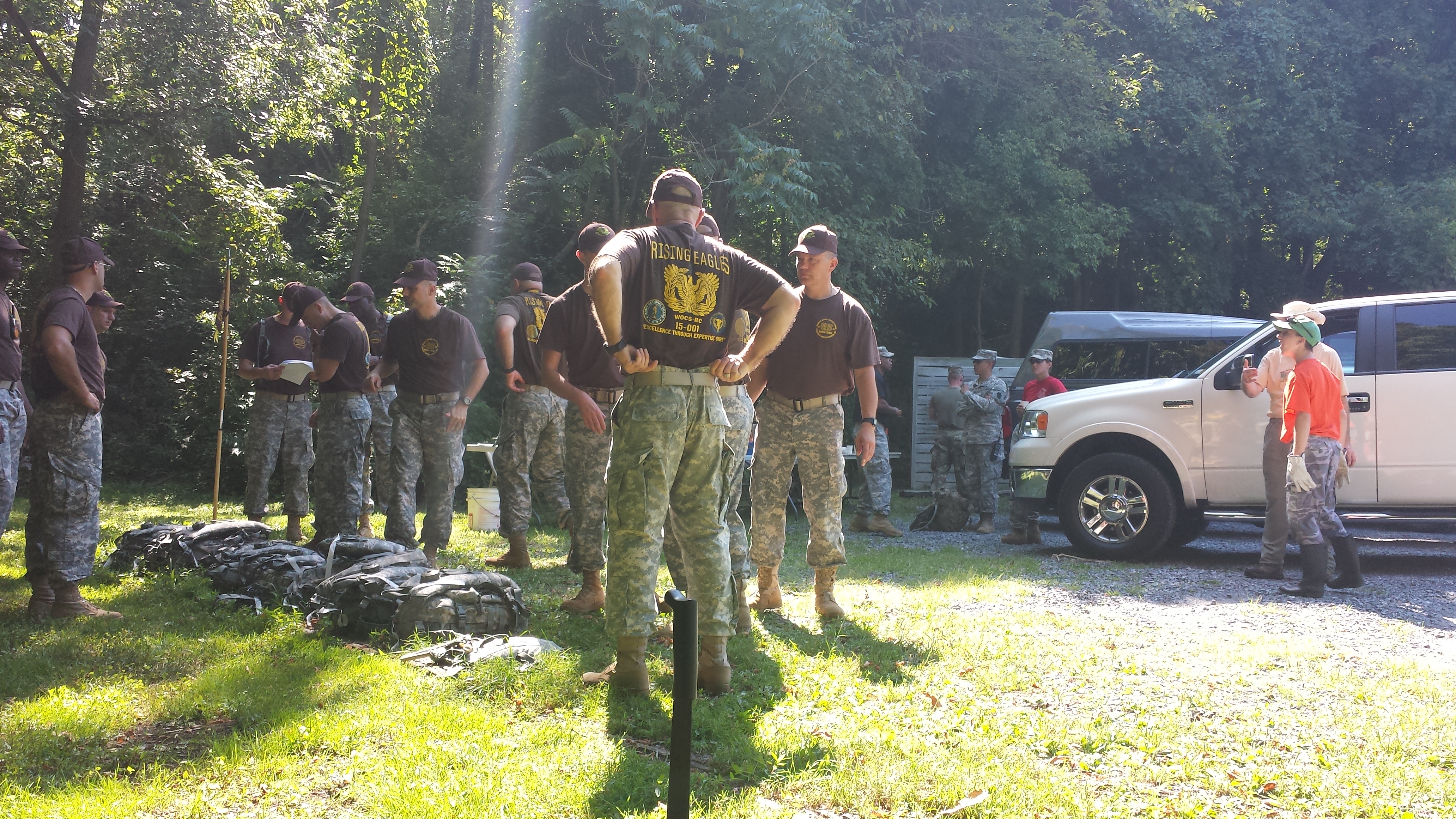
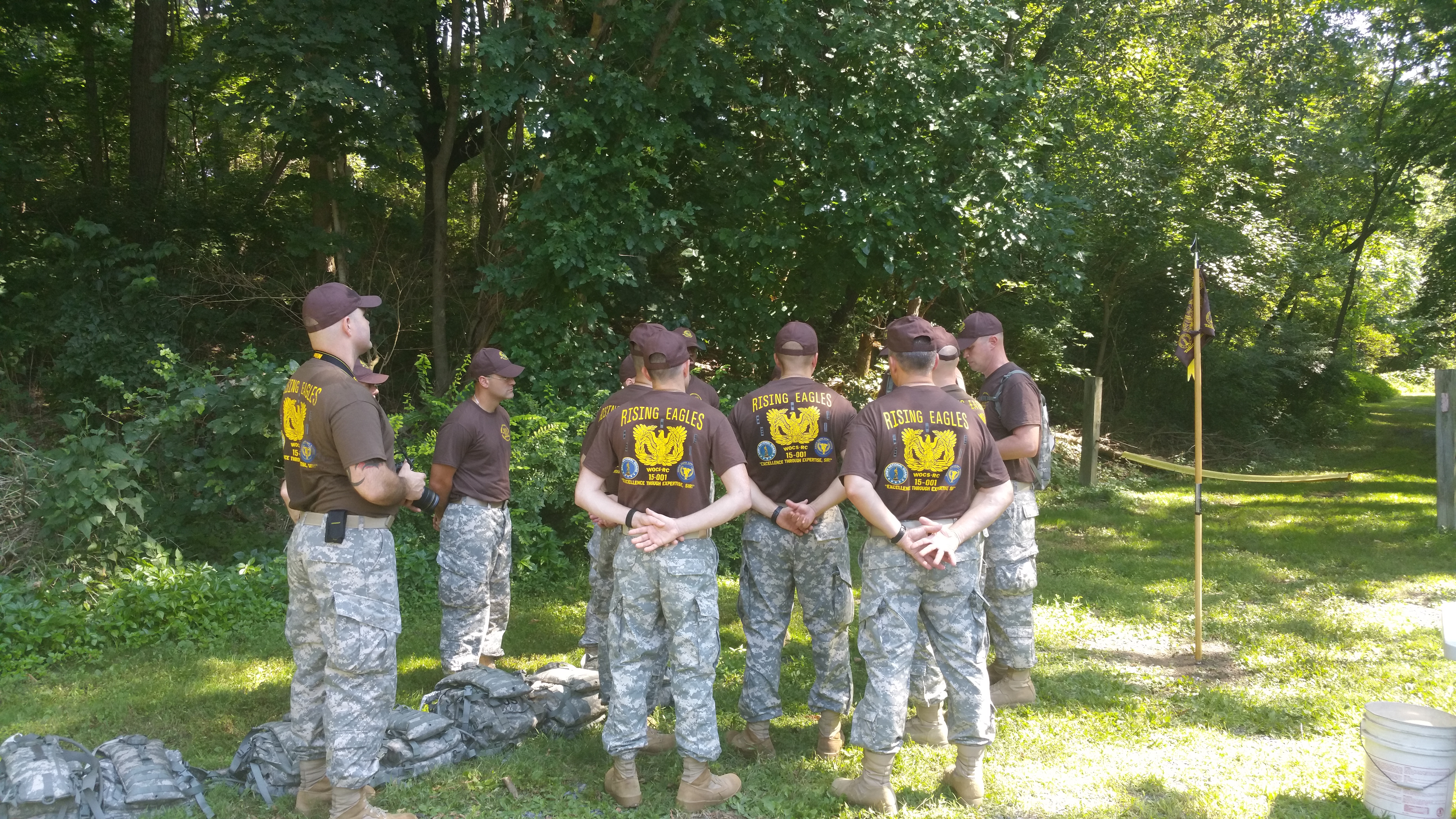
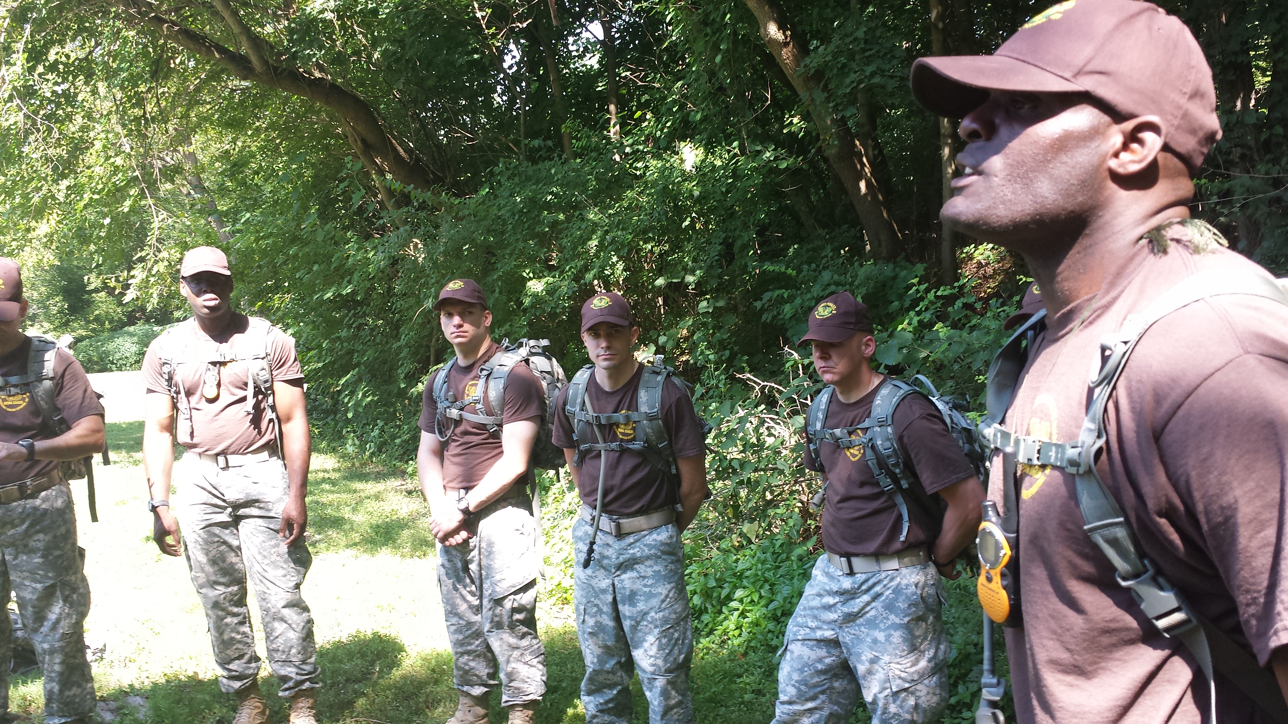
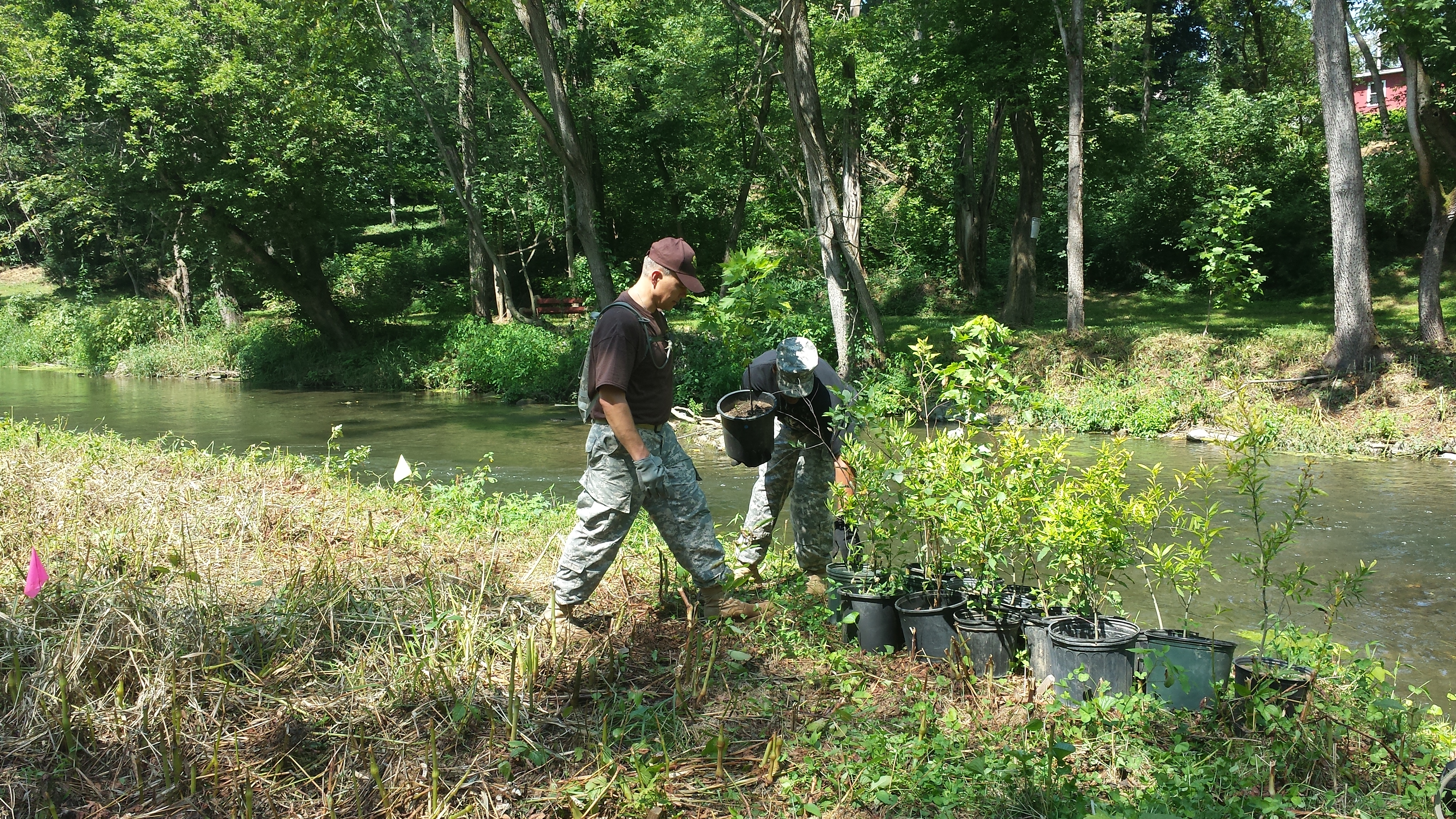
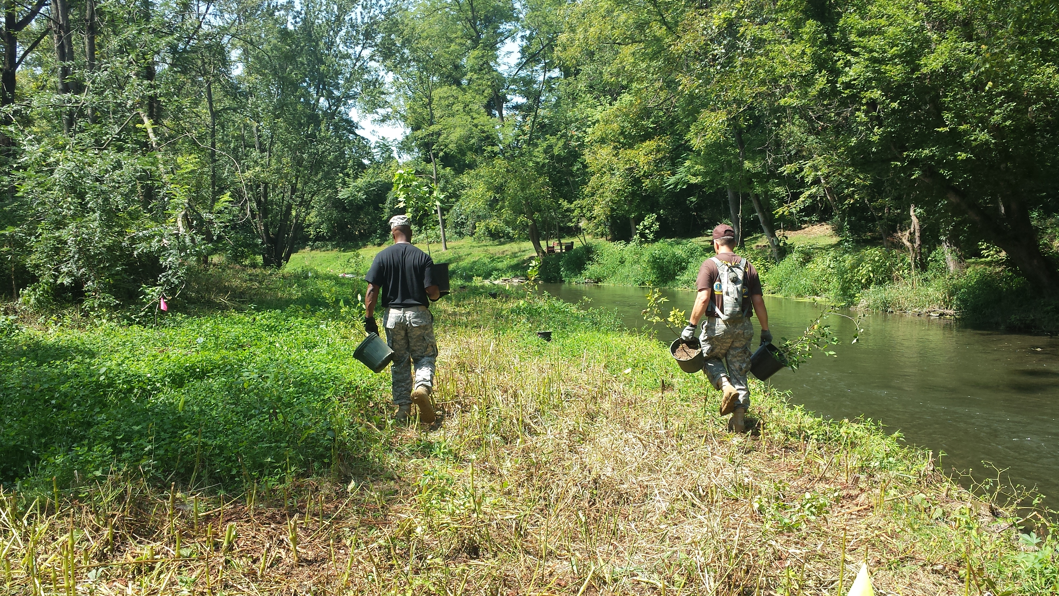
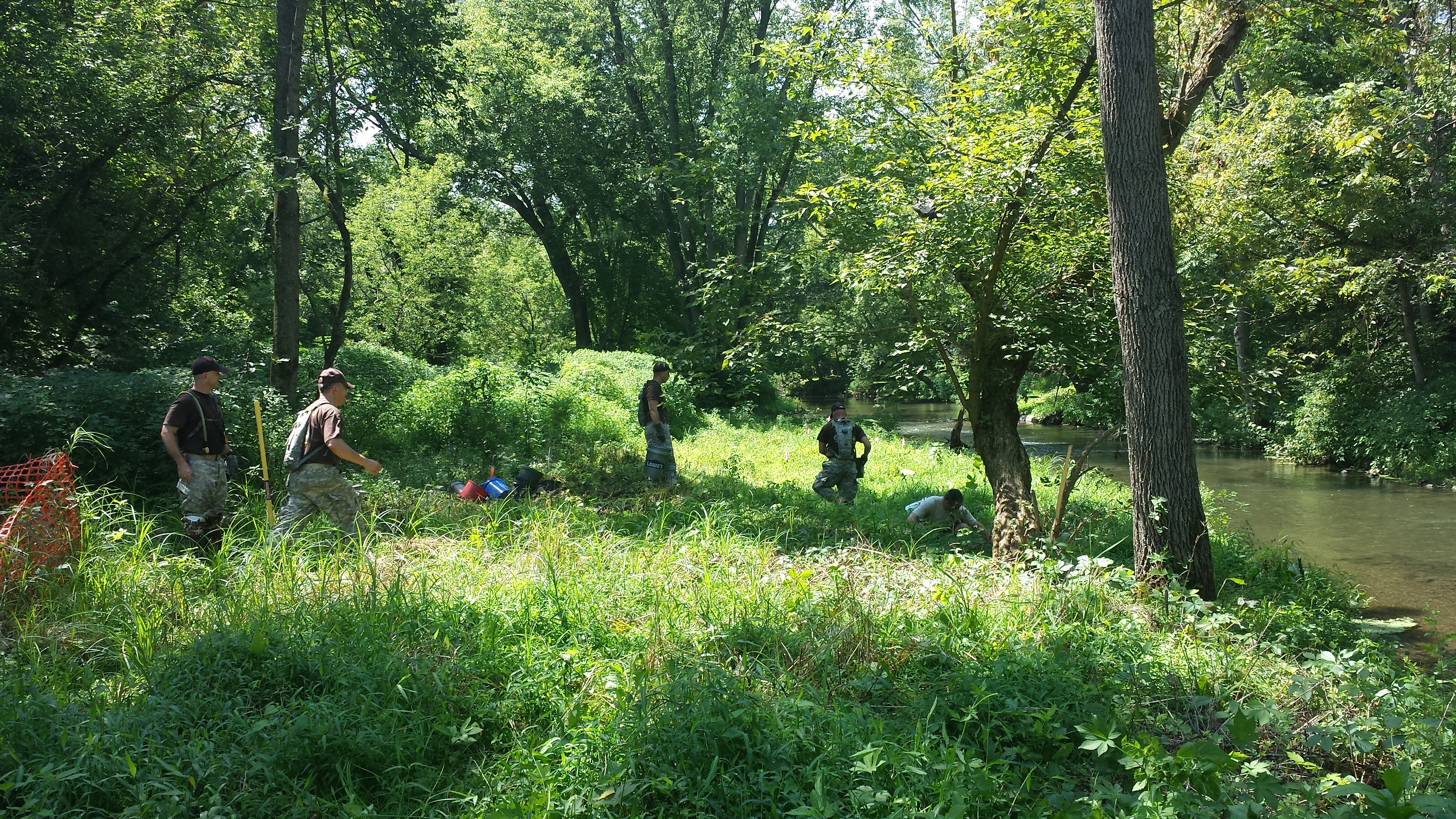
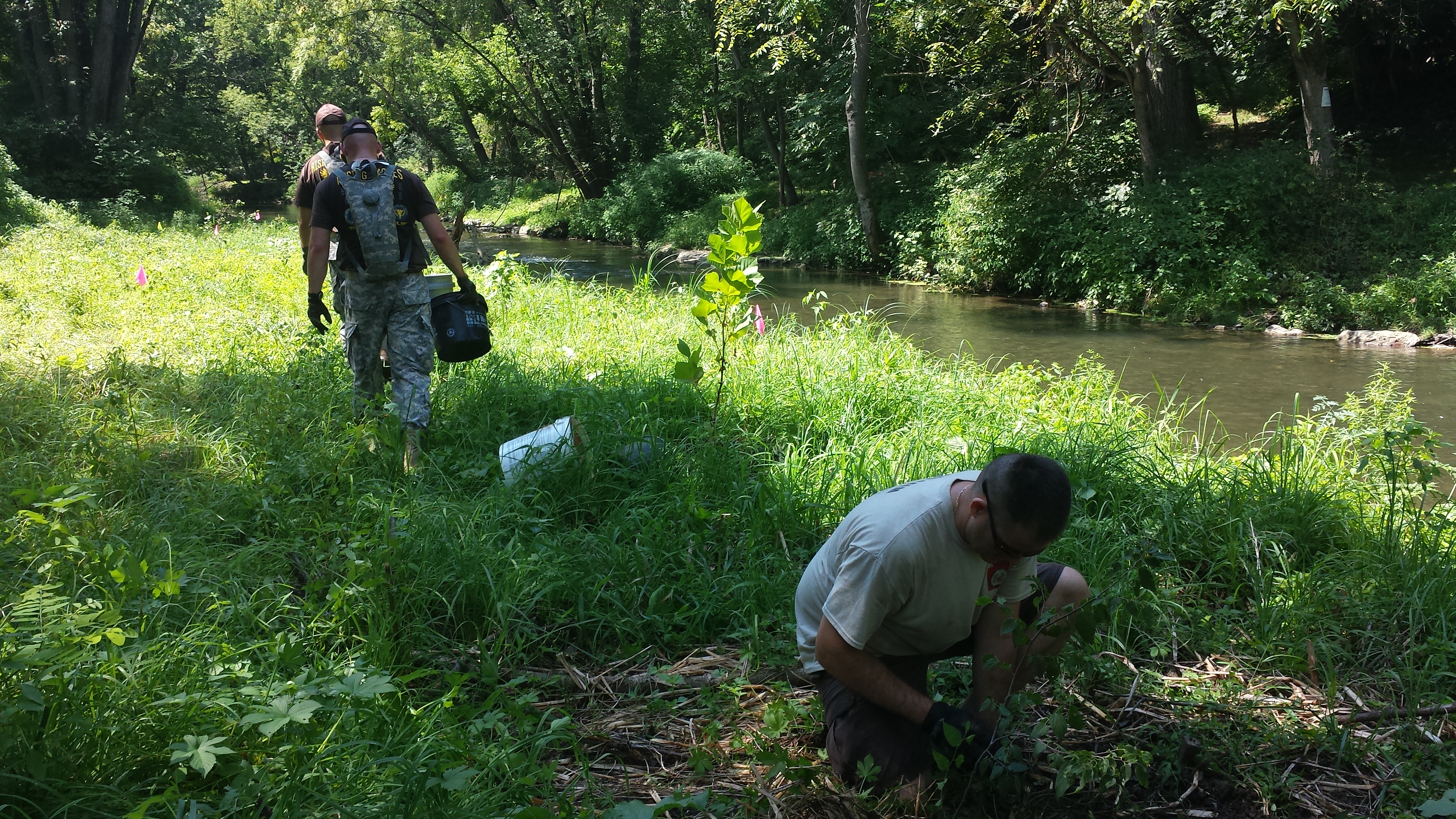
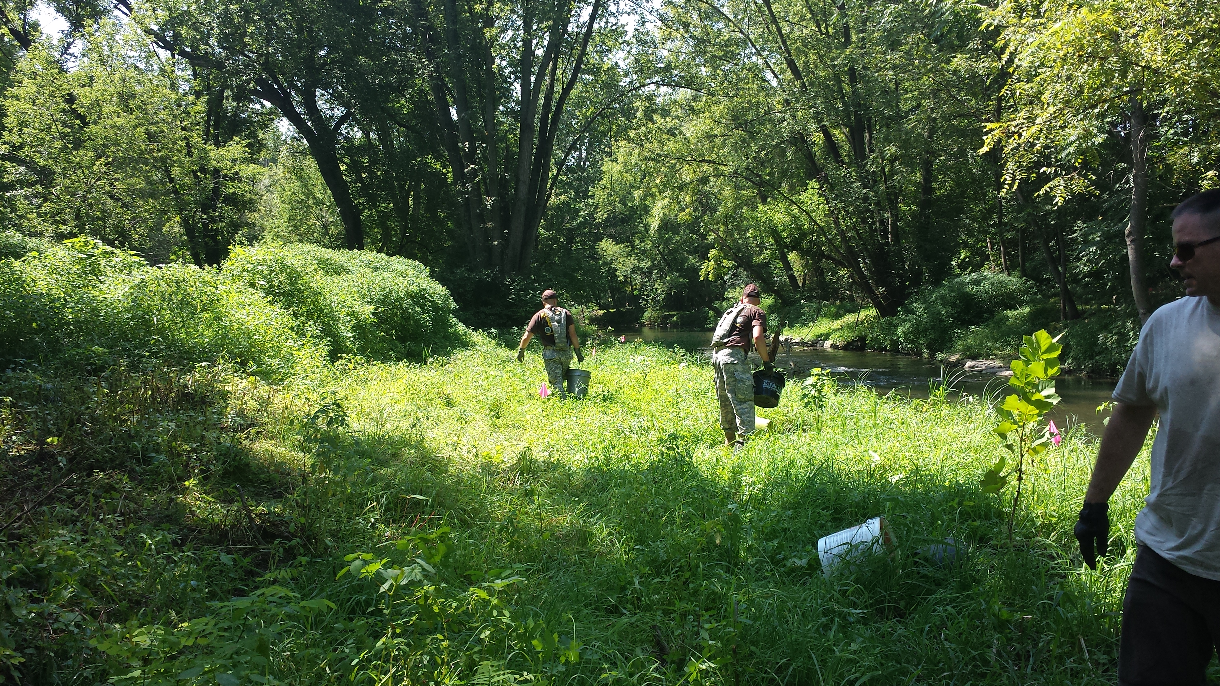
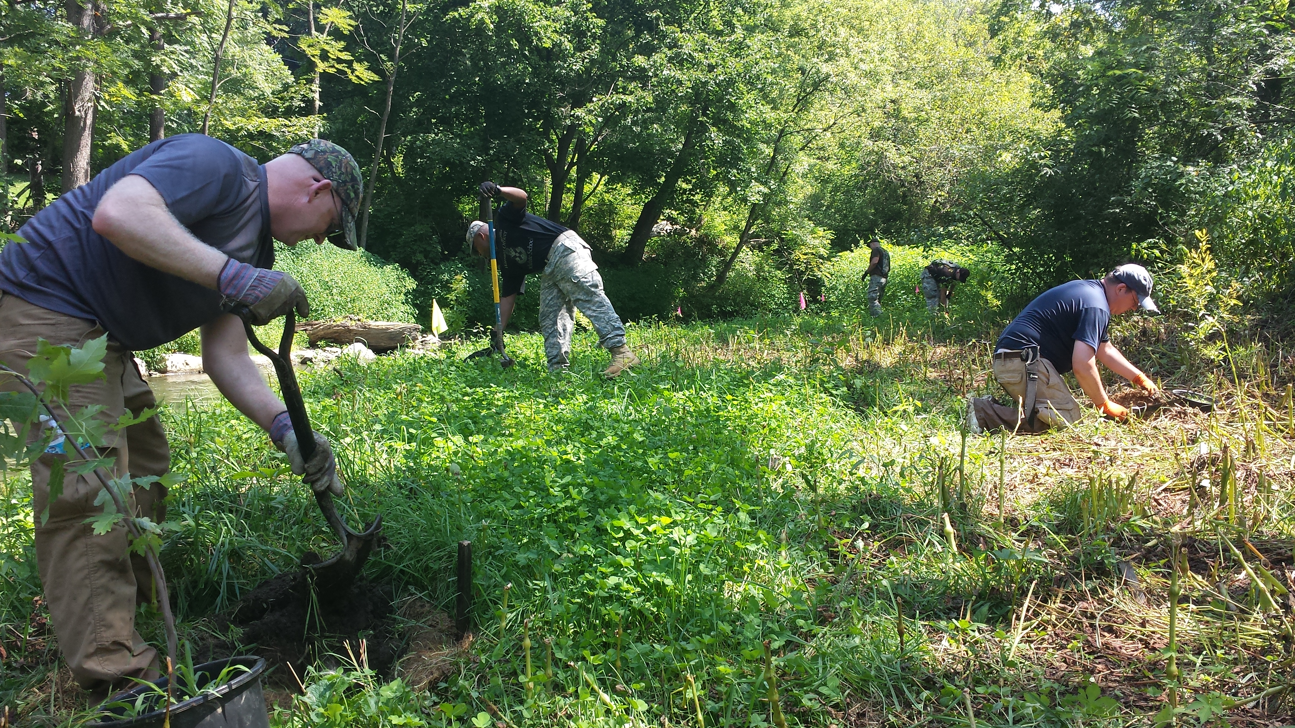
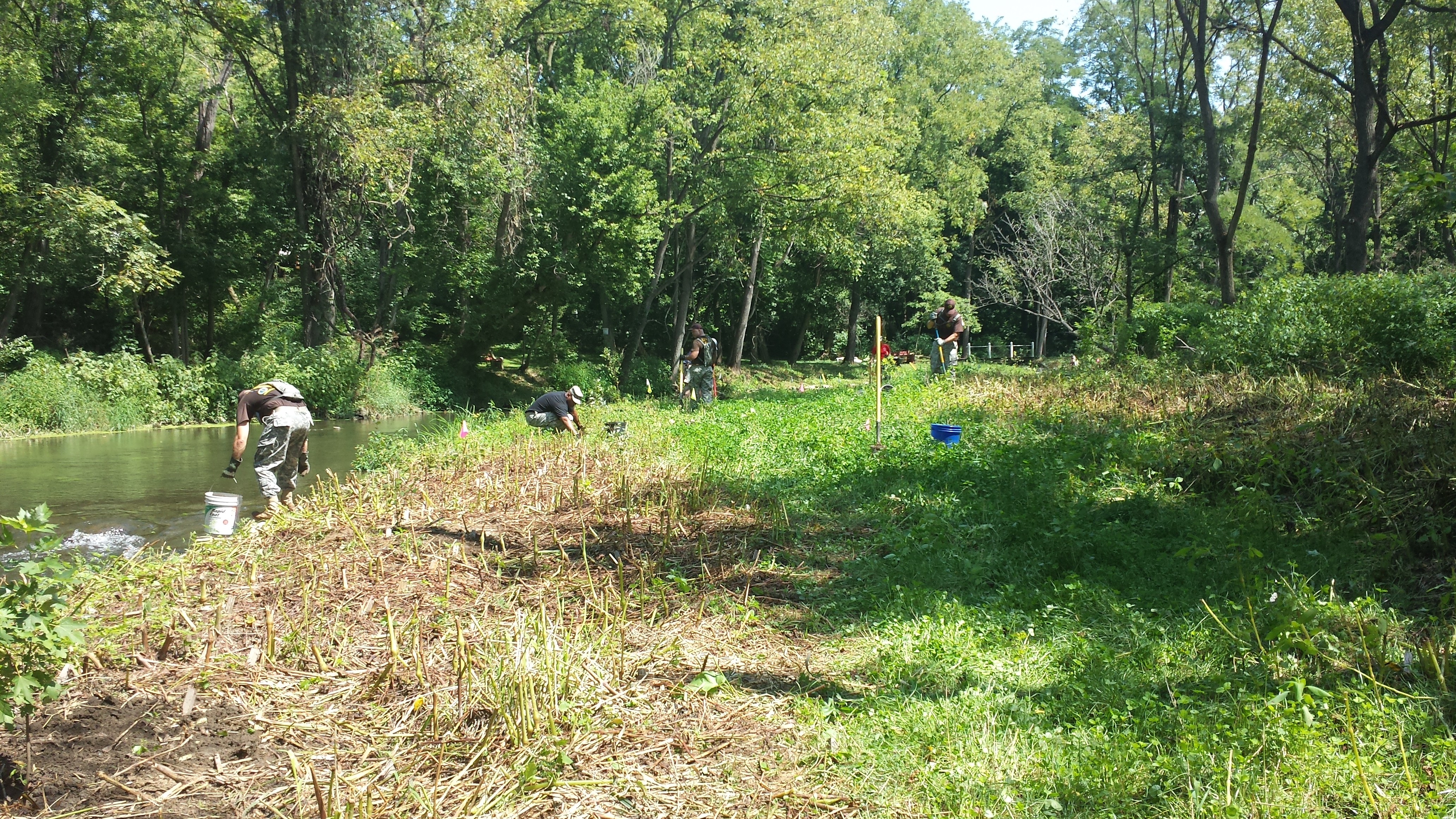
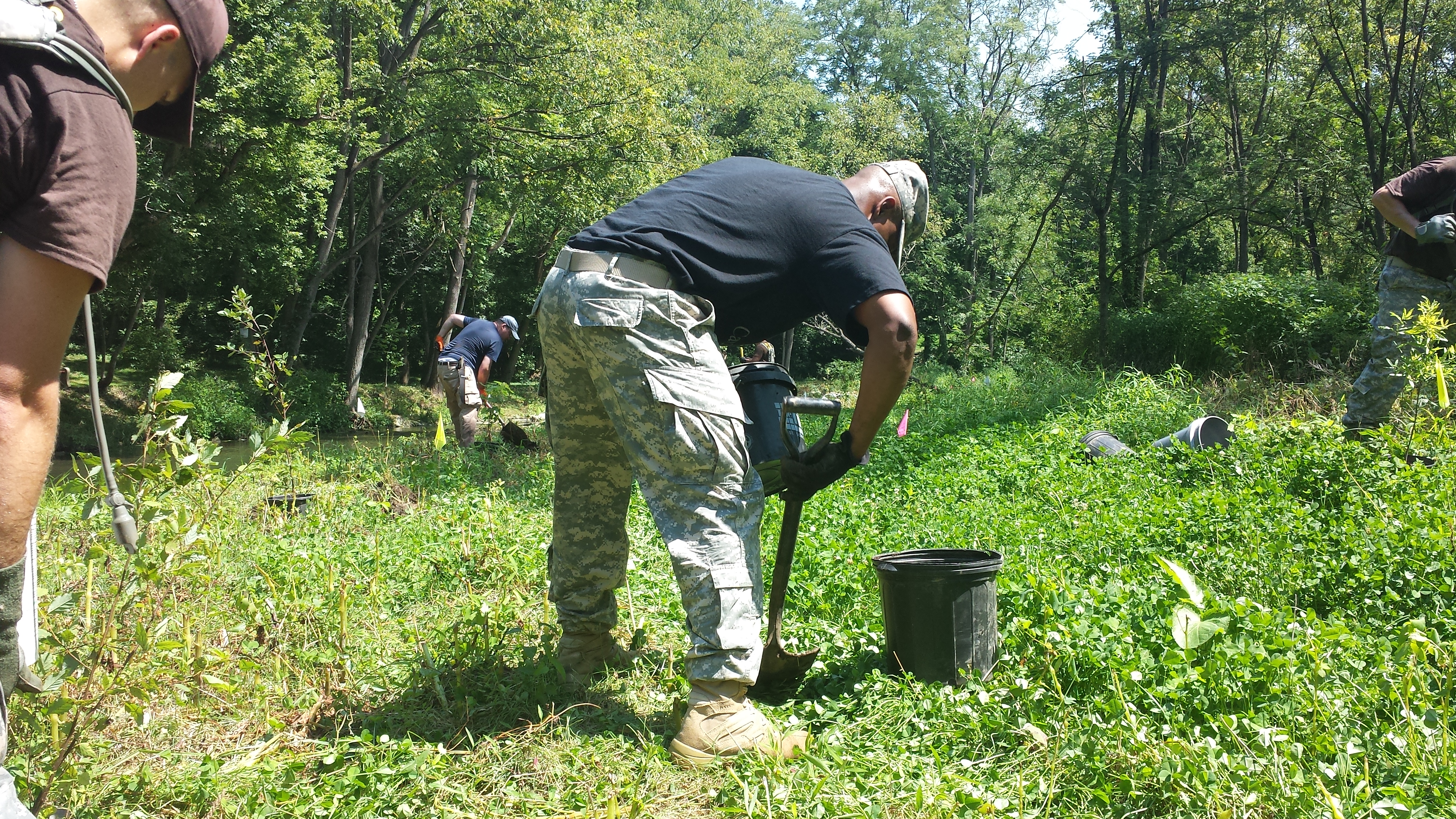
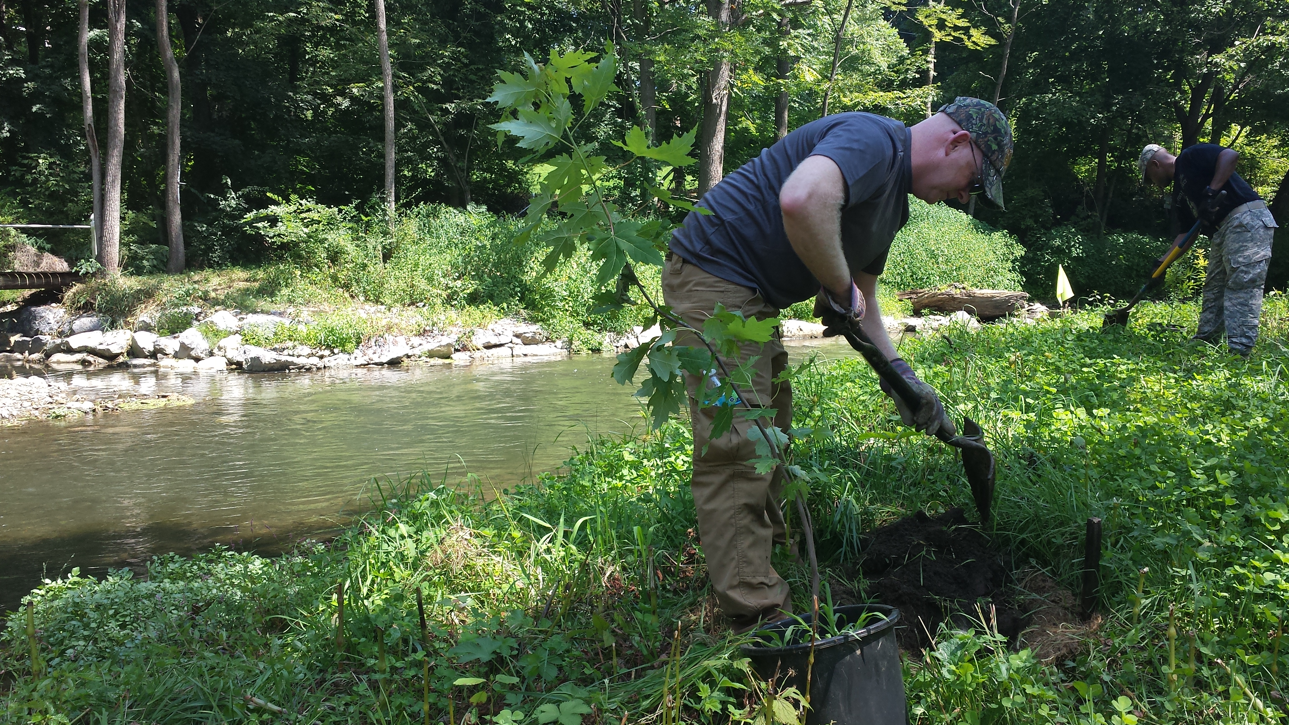
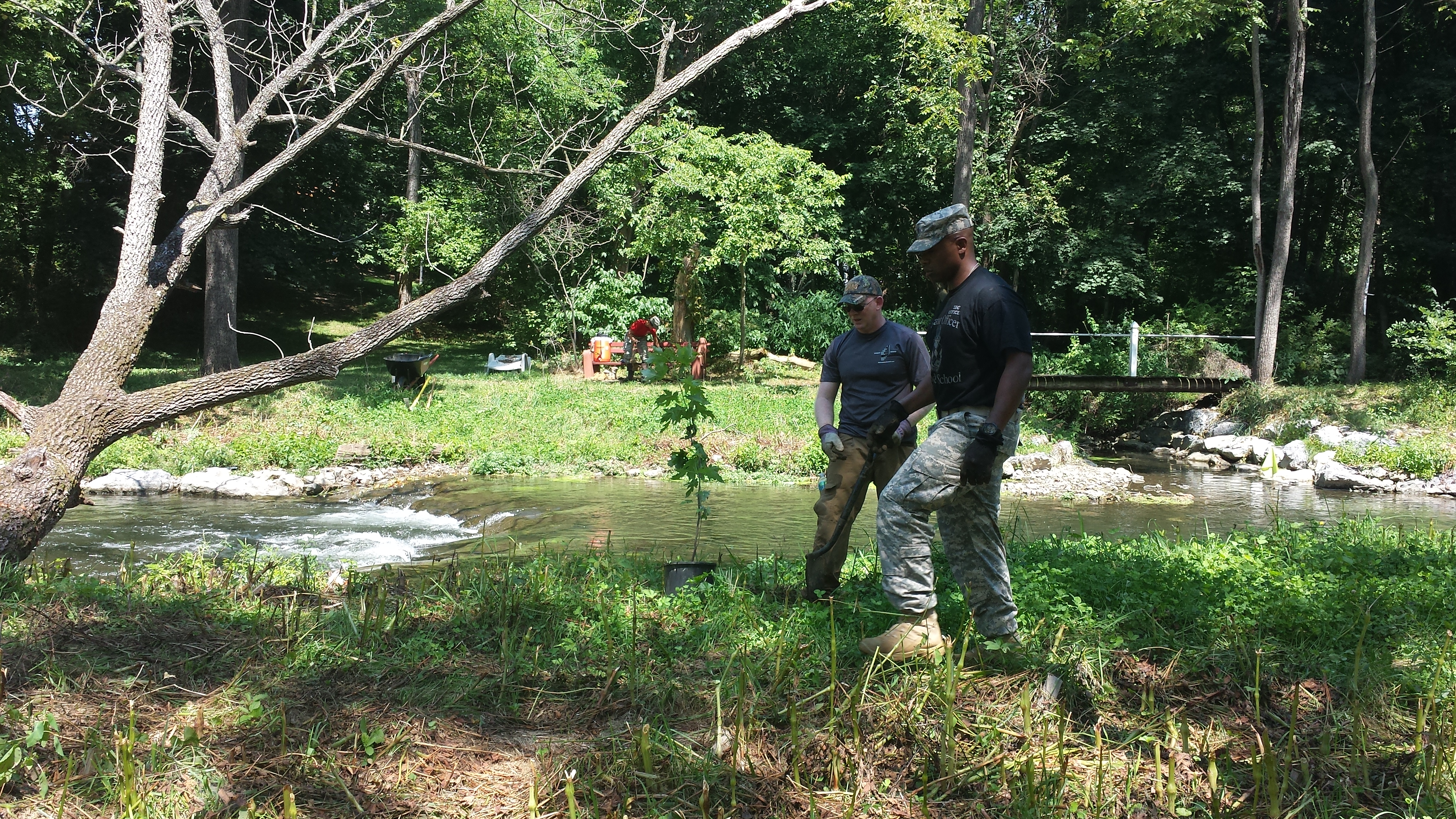
Weeks 39-43: August 2015: Volunteer Tree-Planting in the Restored Areas
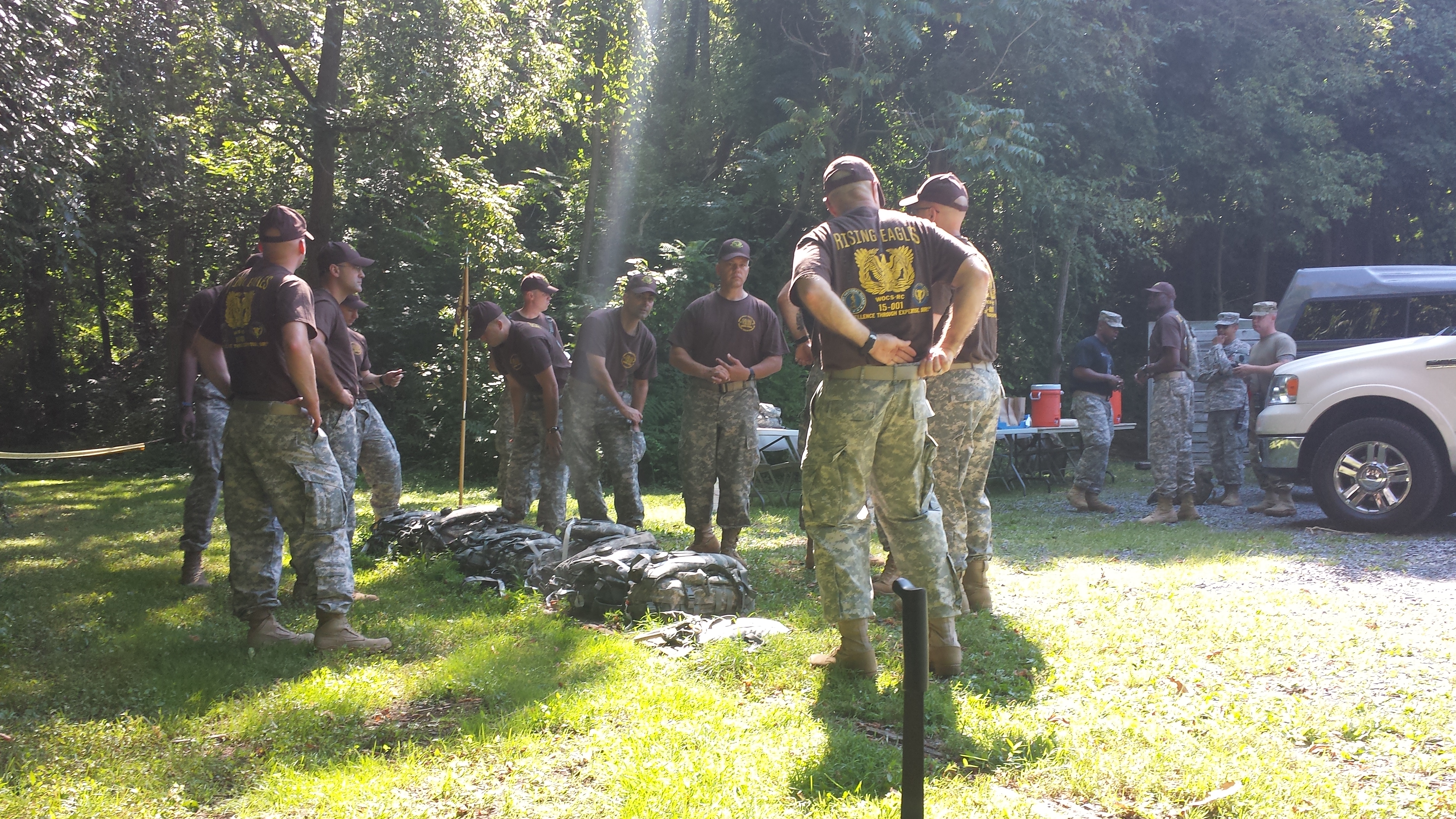
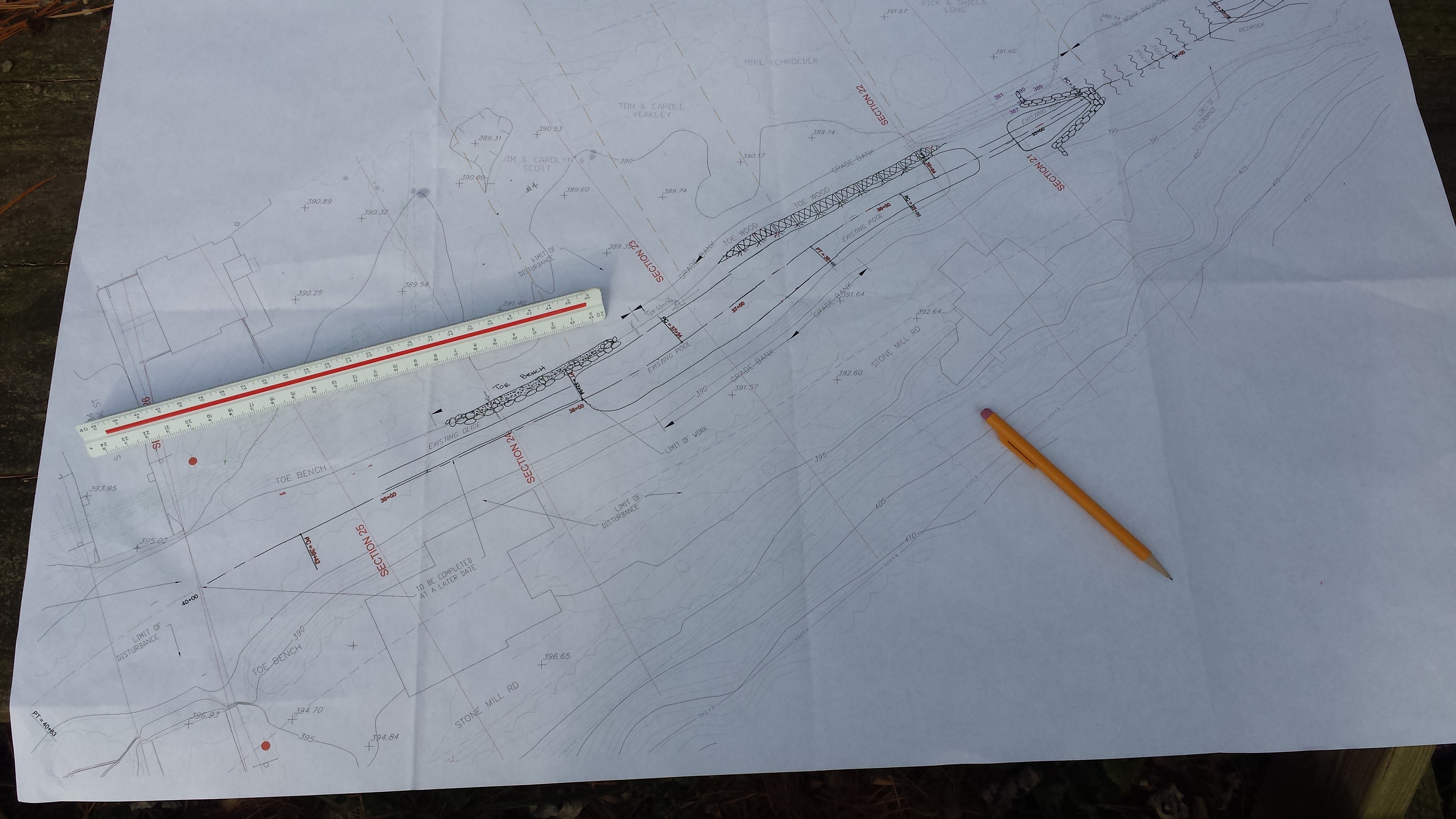
On Saturday, August 15, upwards of 30 Warrant Officers and Warrant Officer Candidates from Fort Indiantown Gap Military Base volunteered their labor to plant upwards of 120 saplings in three areas along the freshly-restored banks. This was truly a collaborative effort. Ten or so days before the workday, Alan Wood mapped out the areas in need of saplings, making an easy-to-read map spotlighting how many trees of which variety needed to be planted in each area and the optimal spacing between them; the map, further modified by Mike Schroeder, is pasted below (click on image for a bigger and higher-resolution image):

Meantime, Russ Collins, Vice President of the Doc Fritchey Chapter of Trout Unlimited, arranged for the donation of some 120 small potted native trees from Gary Longenecker of the Donegal Chapter of Trout Unlimited. Kent Crawford helped Russ pick up & drop off the trees on the Wednesday before Saturday's volunteer planting. The photo below shows Kent (at left) & Russ catching their breath after unloading all 120-some saplings.
Then, at about 1100 hours on Saturday, August 15 came US Army SSG Davis and his host of volunteer National Guardsmen. Click on the thumbnails below for full images -- a collection that became the first posting on our Facebook page. The troops mobilized, received safety instructions, and marched off to their respective fields of operations. Fourth pic in the first row shows Joe Connor & his son Eion. The second row shows the work being done on the south bank just downstream of Stumpy's Little Footbridge. With appropriate precautions taken, the entire crew successfully avoided the wrath of the yellowjackets!
![]()

![]()
Below we see the crew working in the second main theater of operations, along the south bank in a 200-yard stretch just upstream of the Swingholm Pedestrian Bridge. No yellowjackets here -- just lots of collective goodwill and cheerful volunteer labor for a good & worthy cause: Helping to create a beautiful public space that anyone & everyone can enjoy.

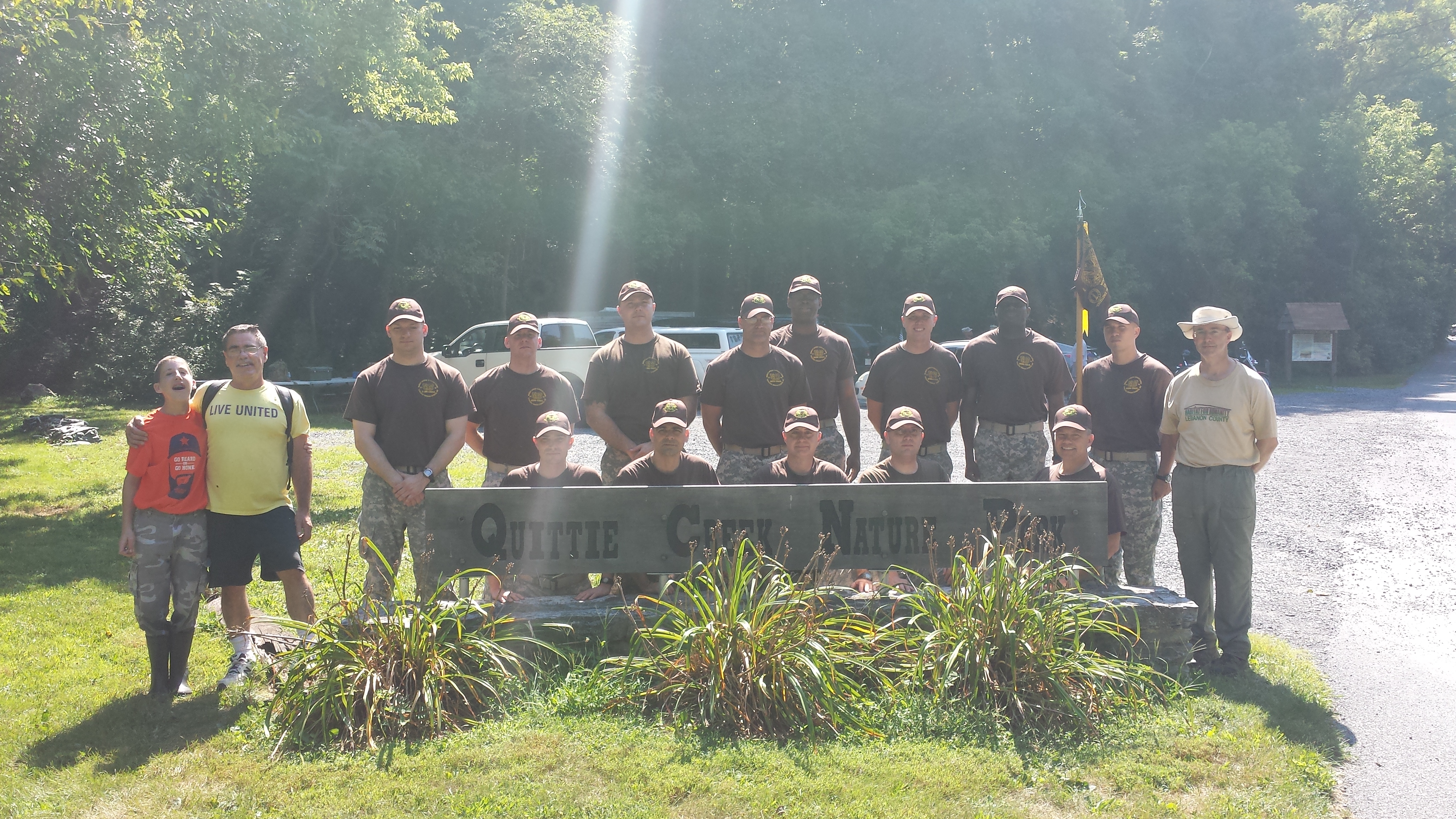
Above: Some of the crew, posing in front of the Quittie Creek Nature Park sign at the park entrance, with Mike Schroeder & Eion Connor at left, Joe Connor at right, and 13 of our heroic Pennsylvania National Guard Warrant Officer Candidates at center (click on image for full-size photo).
A gigantic Thank You! to everyone who pitched in -- your contributions are greatly appreciated!
The plantings survived a heavy rain & high waters in early September, and look to be surviving into the fall. The real test will be come spring. . . .
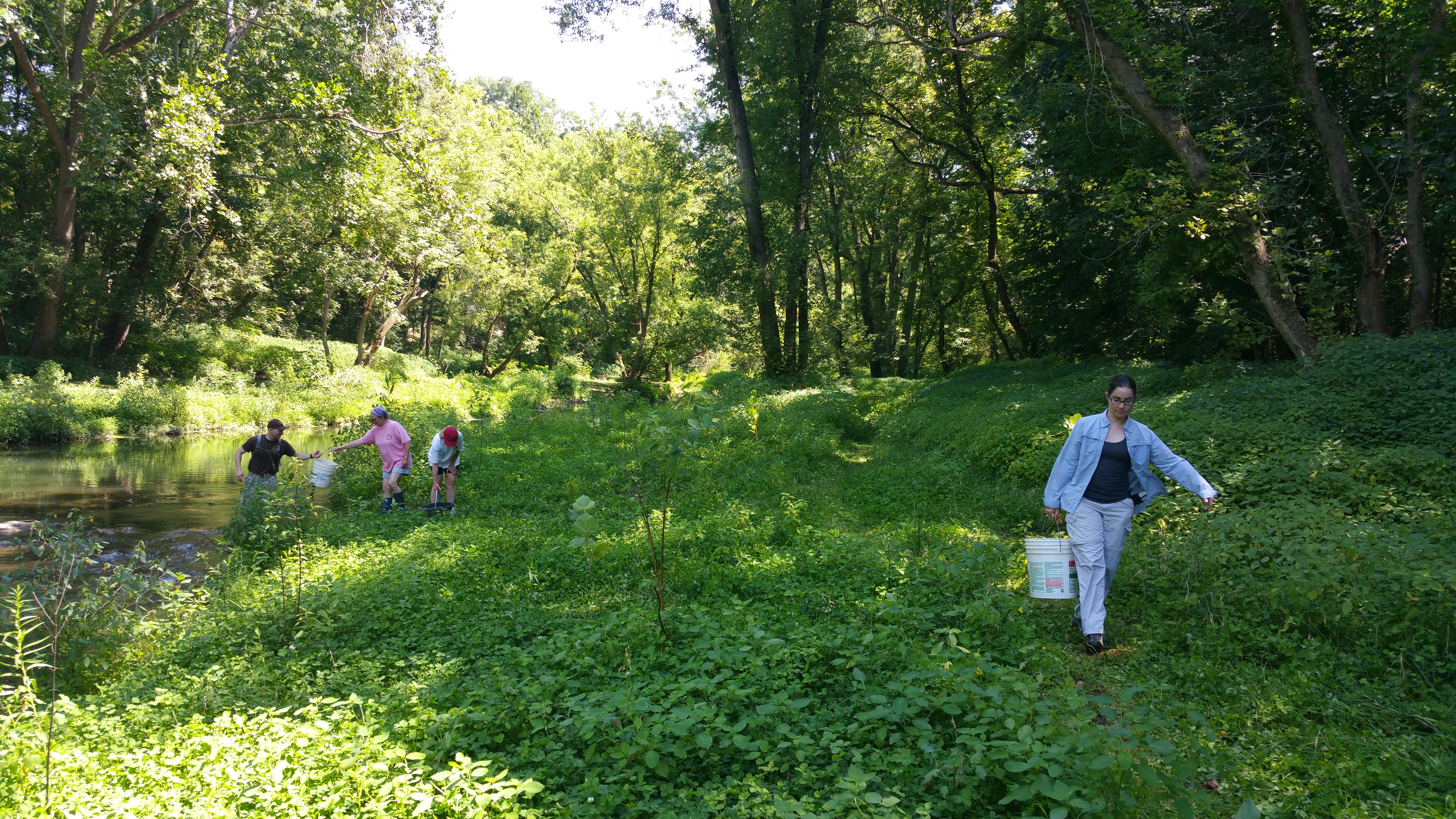
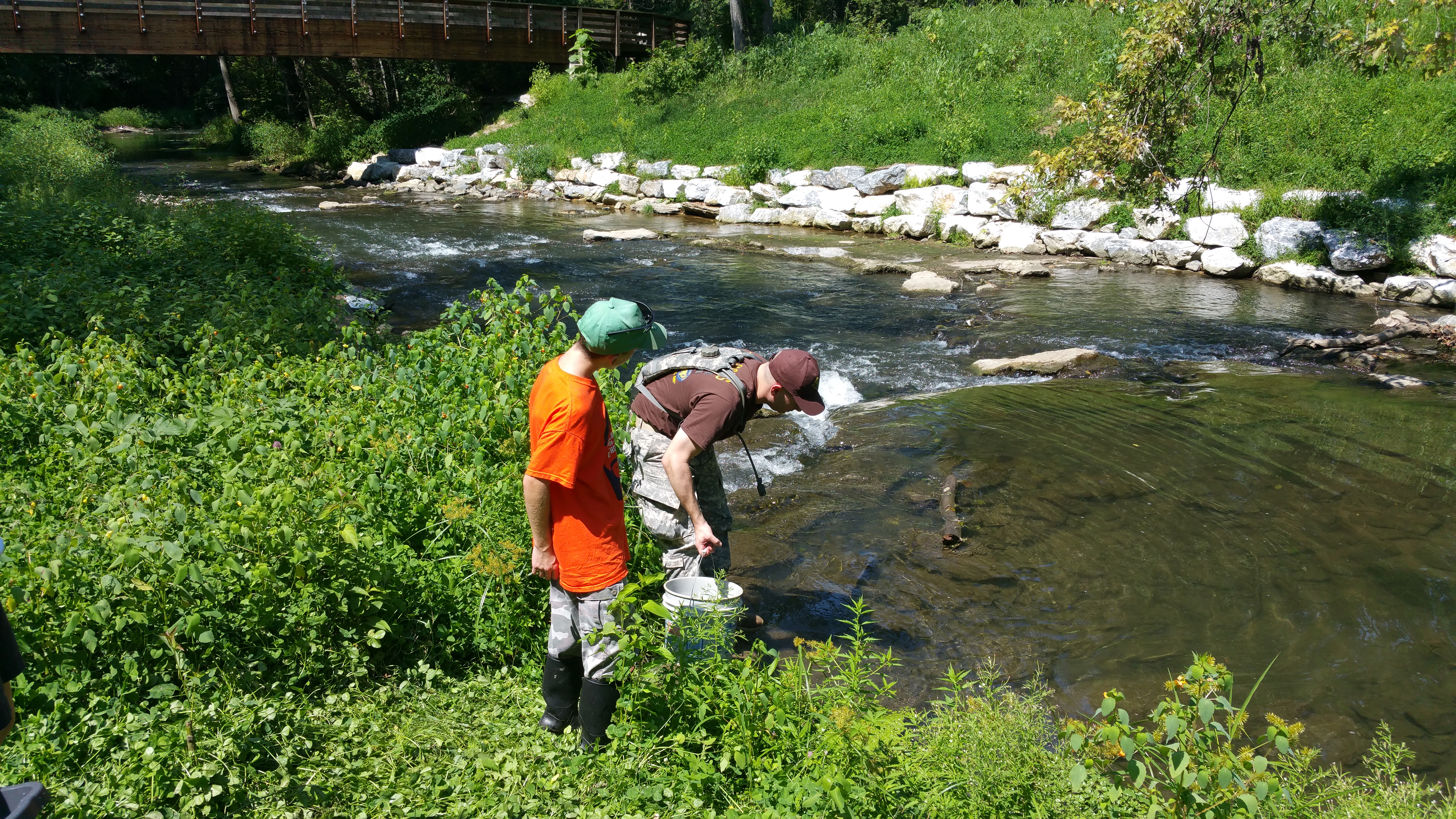
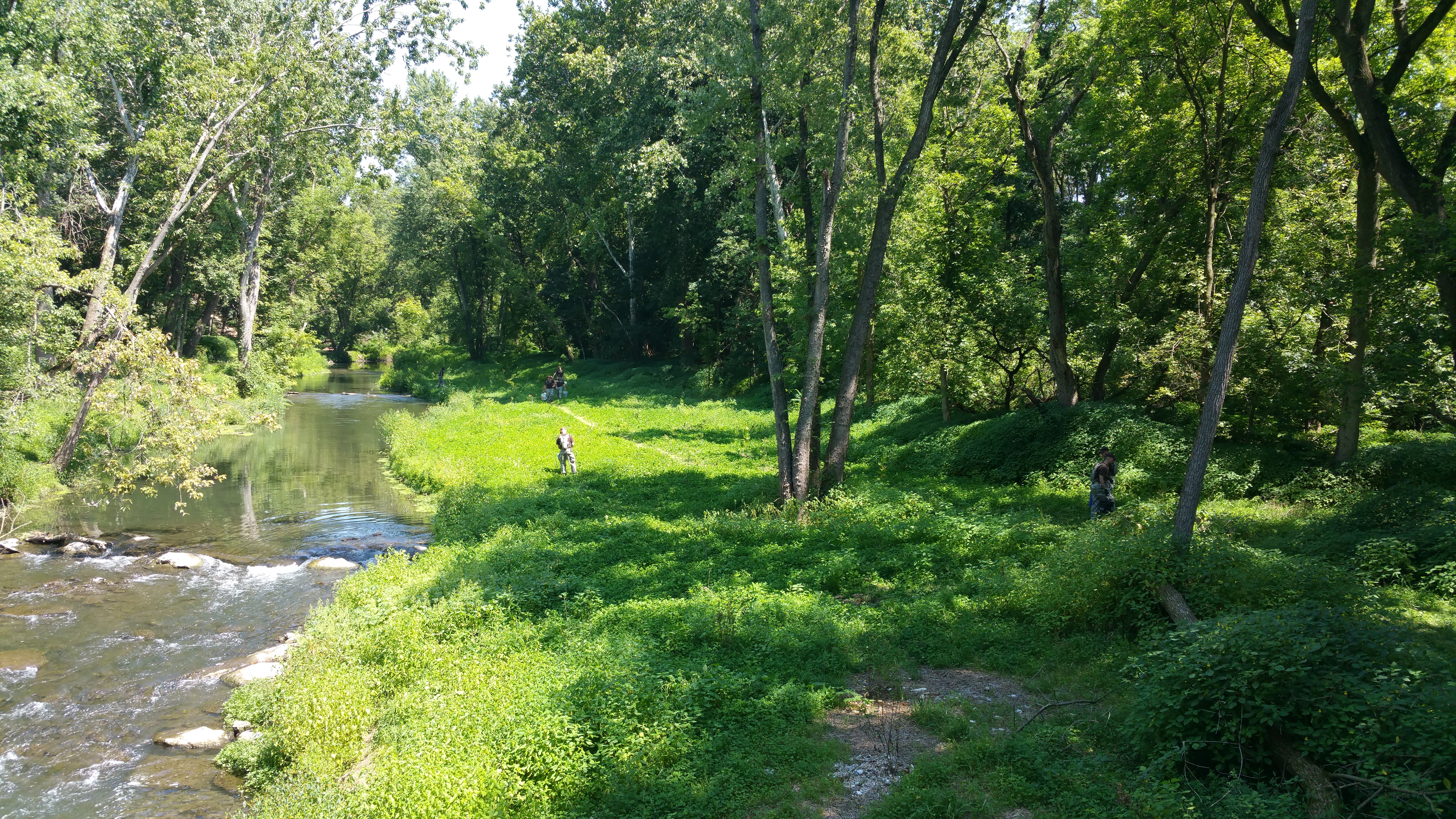
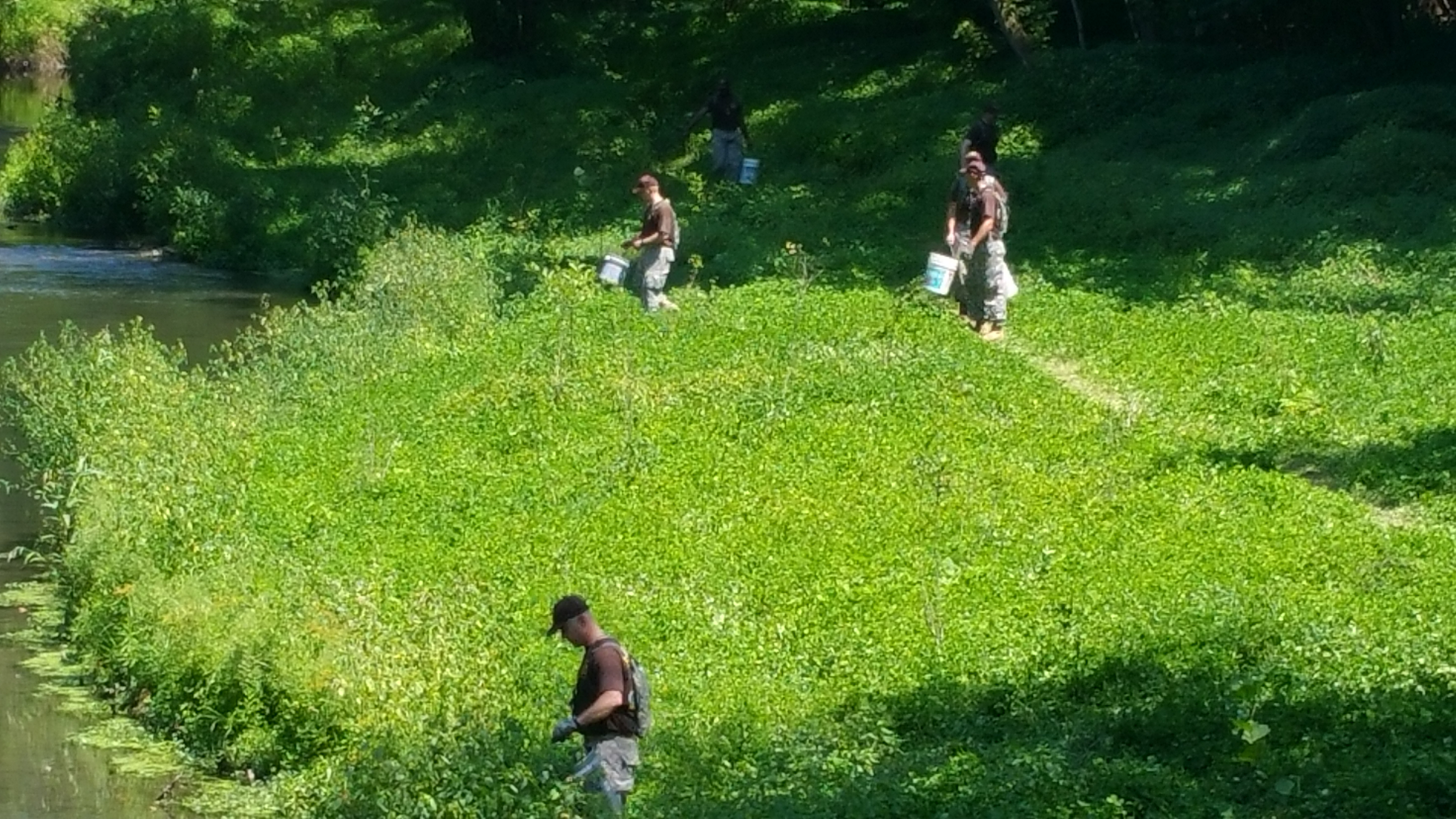
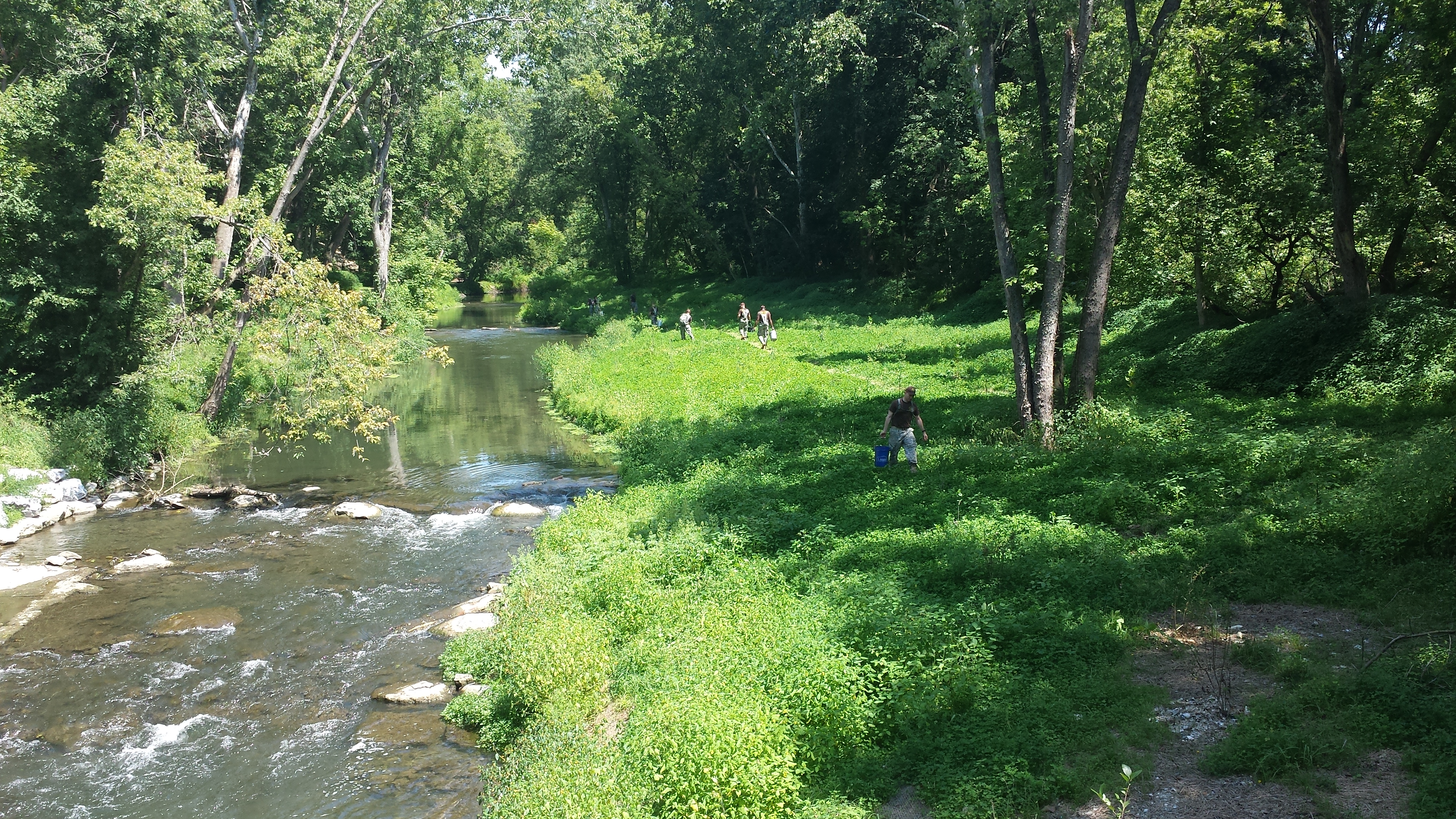
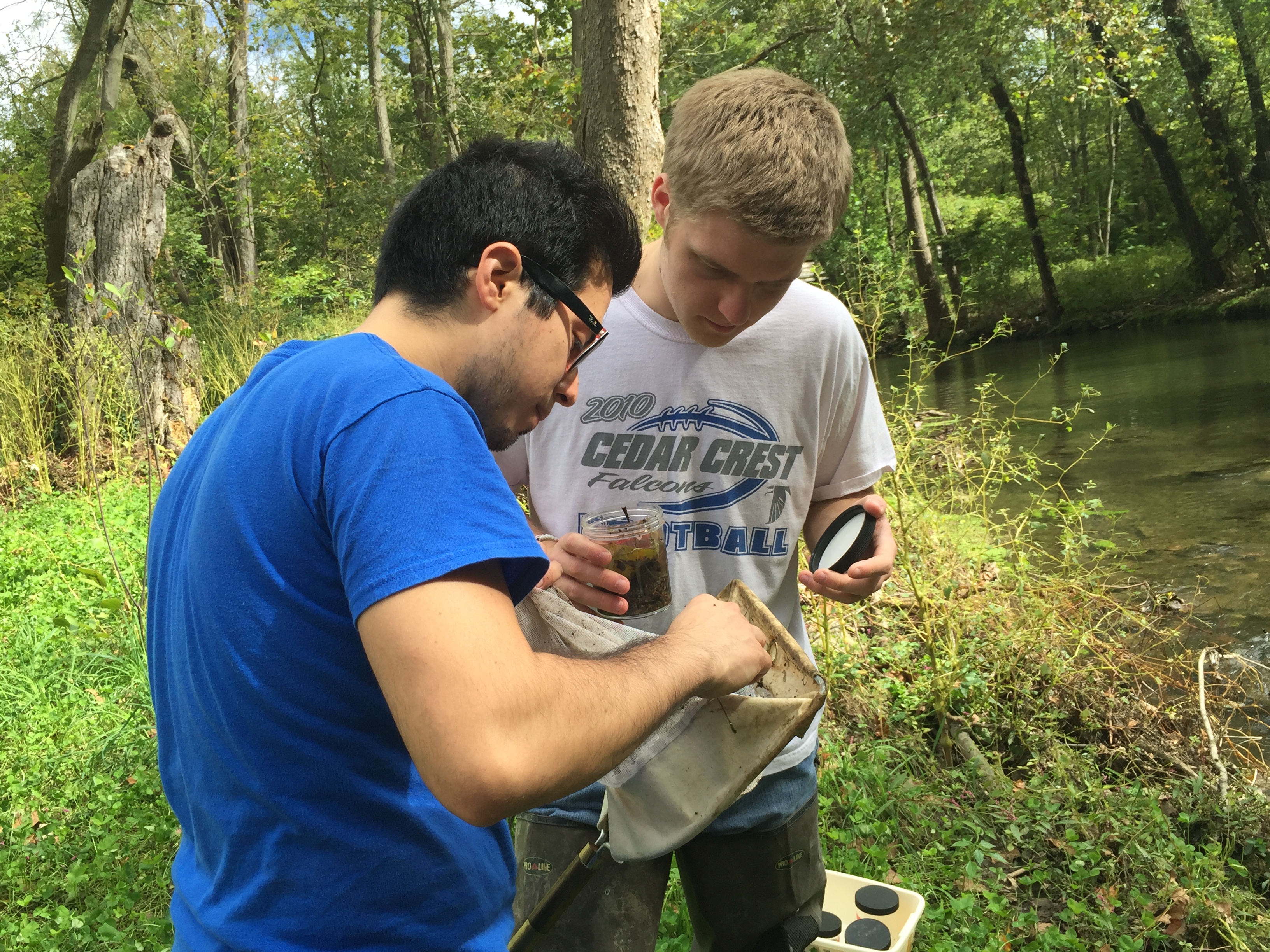
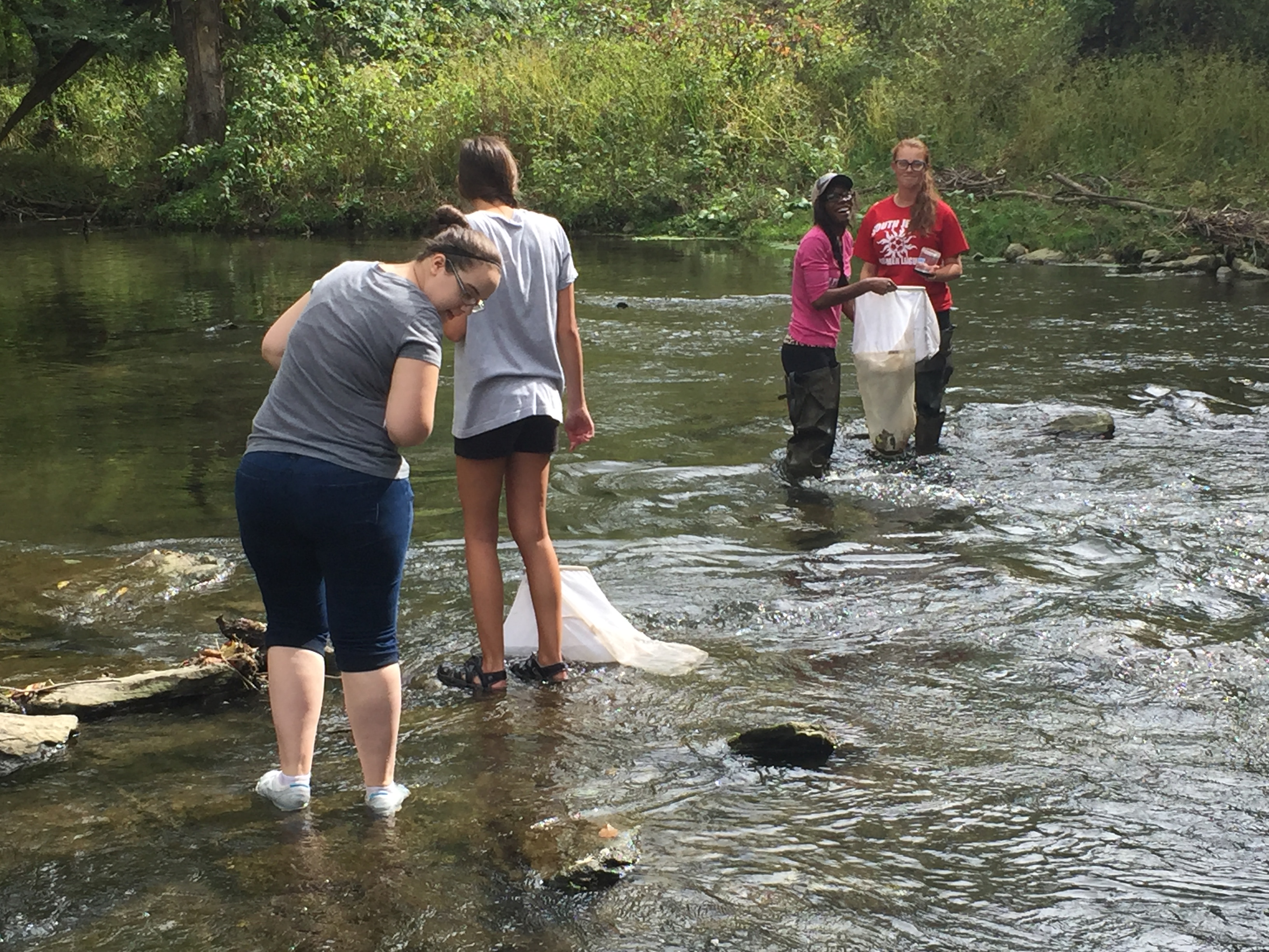
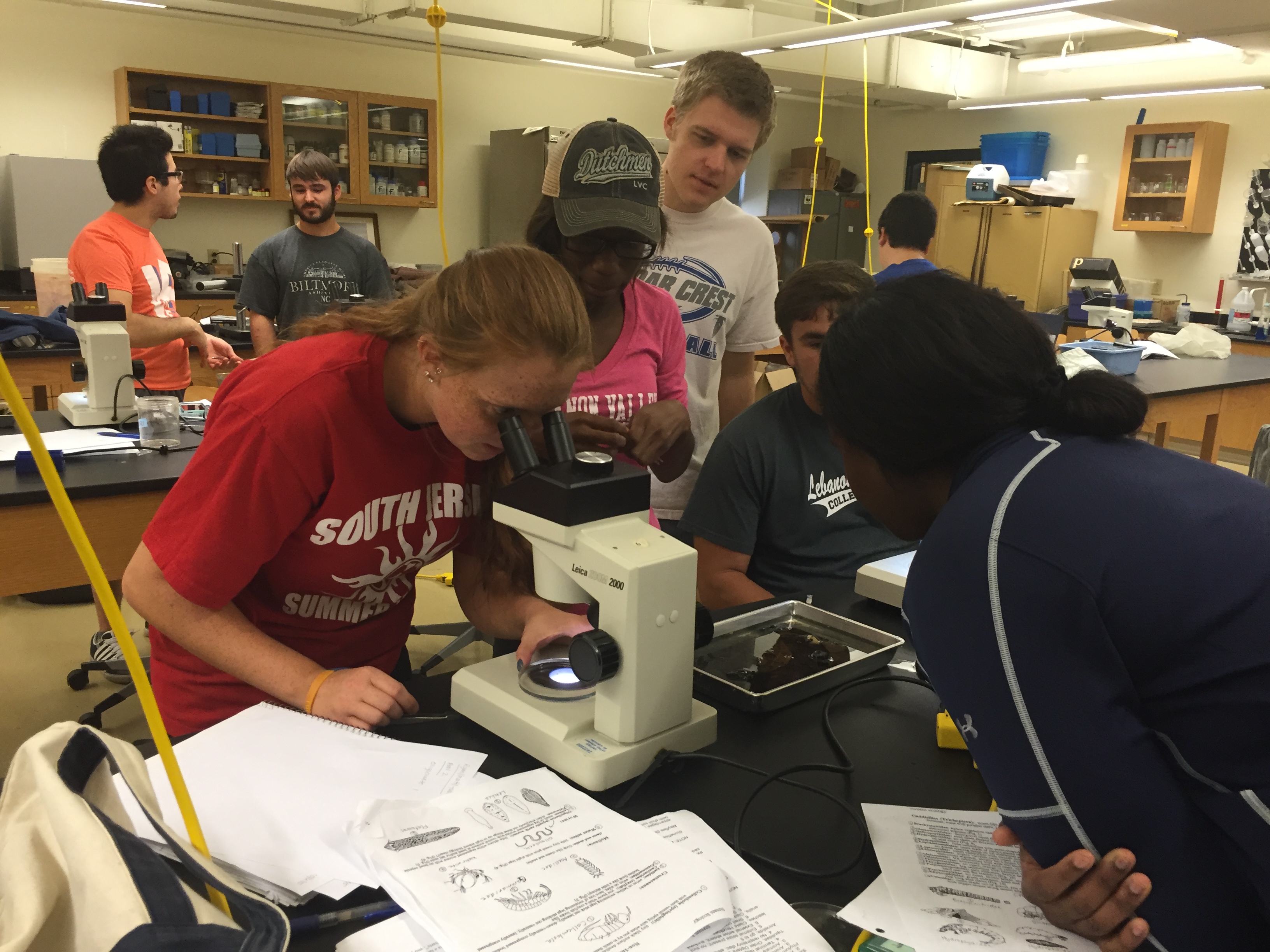
Weeks 44-52: August—October 2015: LVC Prof. Becky Urban's Students Evaluating Water Quality in the Restored Areas
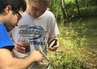 In early October, Lebanon
Valley College Associate Professor of Biology
Rebecca A. Urban and her students undertook a series
of tests of the water quality in the restored areas
of Quittie Creek. The photos at right & in the
row below show students collecting water samples,
evaluating the number & types of microinvertebrates,
and testing the water in the lab. The results of the
students' tests should be available soon.
In early October, Lebanon
Valley College Associate Professor of Biology
Rebecca A. Urban and her students undertook a series
of tests of the water quality in the restored areas
of Quittie Creek. The photos at right & in the
row below show students collecting water samples,
evaluating the number & types of microinvertebrates,
and testing the water in the lab. The results of the
students' tests should be available soon.
The QWA extends its thanks to Dr. Urban, her students, and LVC for their work in support of this project!


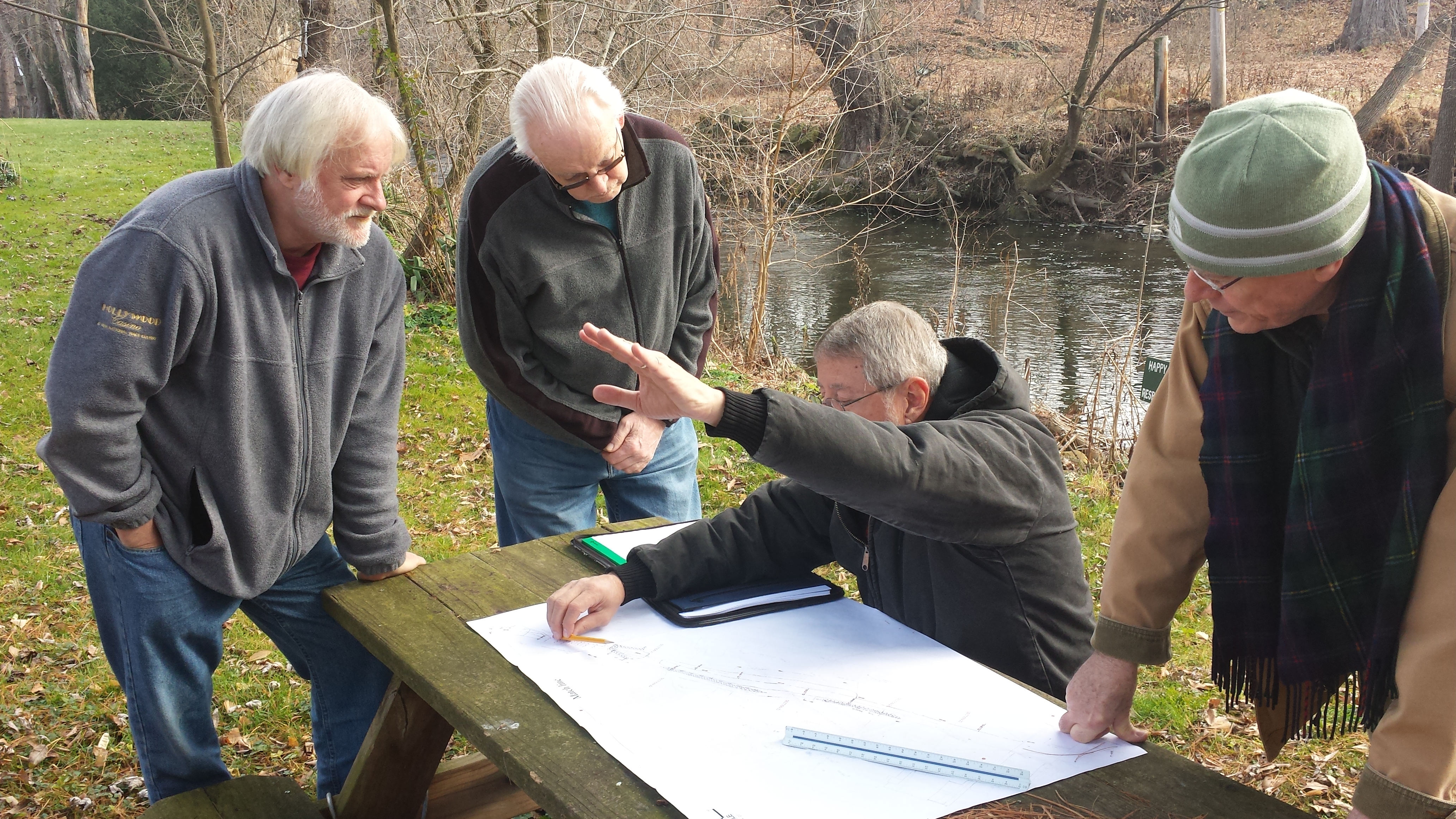
Weeks 53-62: October 2015—January 2016: Finalizing Plans for Phase 2
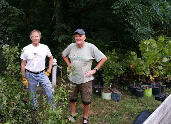
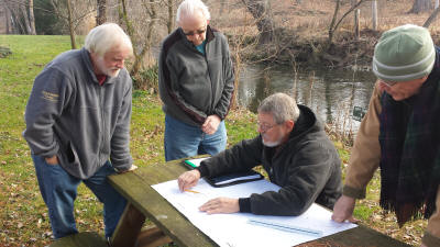 The photos at right &
in the row below show Project Manager Rocky Powell,
President of Clear Creeks Consulting, LLC, meeting
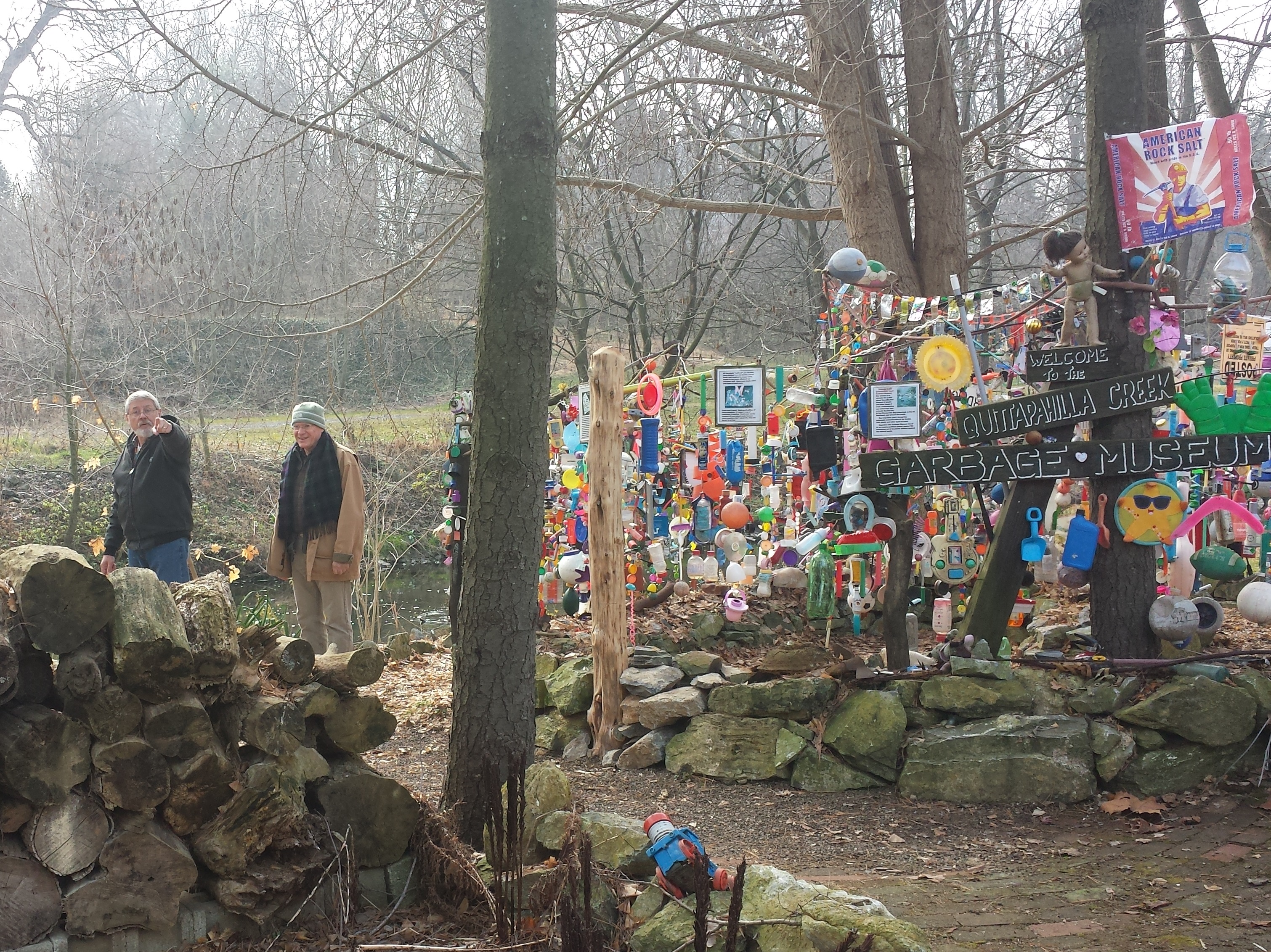
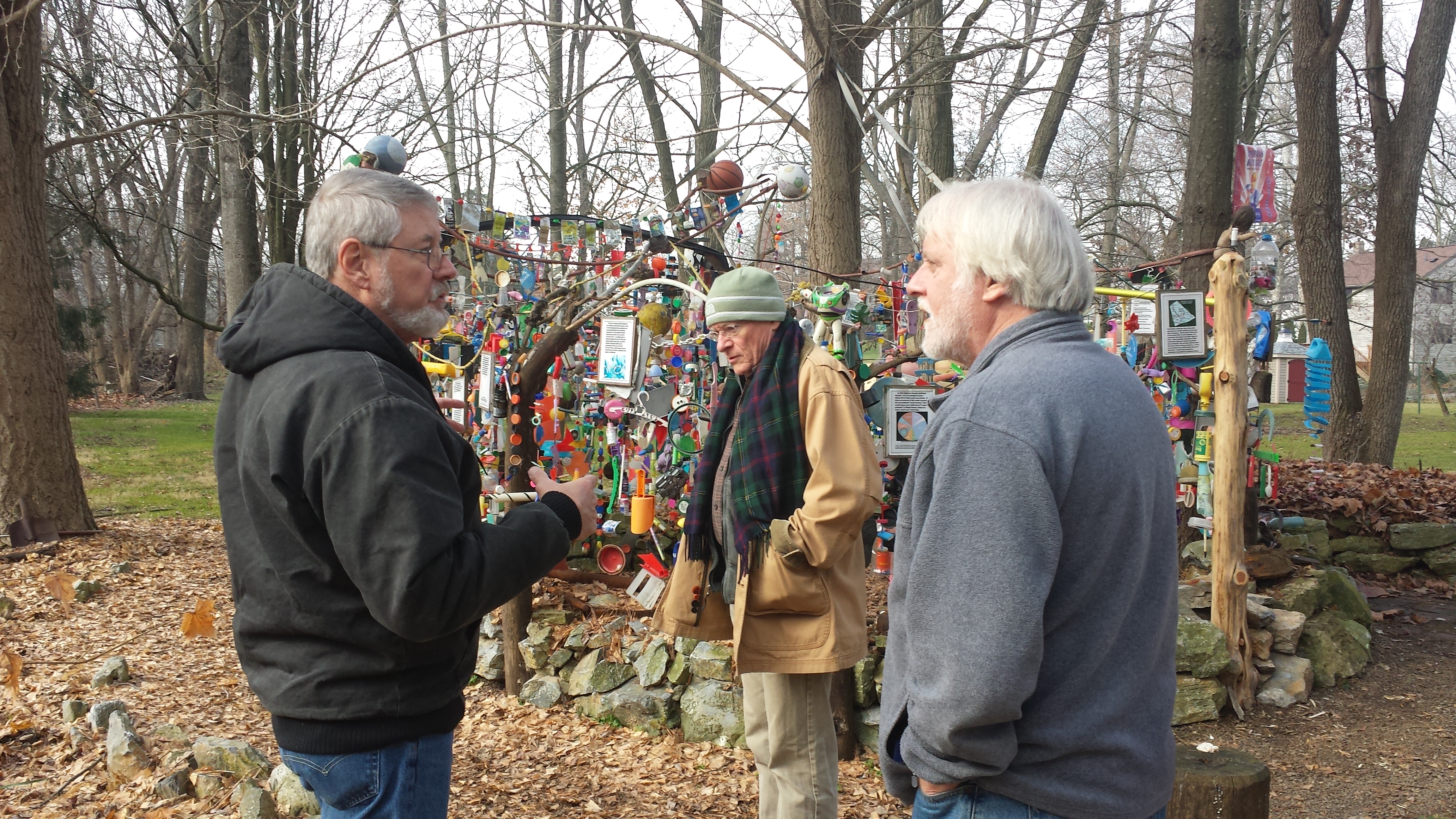
with landowners in the backyard of 8 East High St.
(also home to the Quittapahilla Creek Garbage
Museum) on an unseasonably warm Saturday, December
12 to inspect the site area and go over some minor
changes in the streambank restoration plans.
Everyone's psyched to see Phase 2 begin!
The photos at right &
in the row below show Project Manager Rocky Powell,
President of Clear Creeks Consulting, LLC, meeting
with landowners in the backyard of 8 East High St.
(also home to the Quittapahilla Creek Garbage
Museum) on an unseasonably warm Saturday, December
12 to inspect the site area and go over some minor
changes in the streambank restoration plans.
Everyone's psyched to see Phase 2 begin!
Unfortunately, the January start-time proved too impossible to meet -- a massive snowstorm combined with a backlog of jobs for the contractor Lee Irwin and state regulations to delay the beginning of Phase 2 until after June 15 (the PA Fish & Boat Commission prohibits heavy equipment in trout-bearing waterways from April 1 to June 15 of each year).


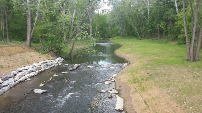
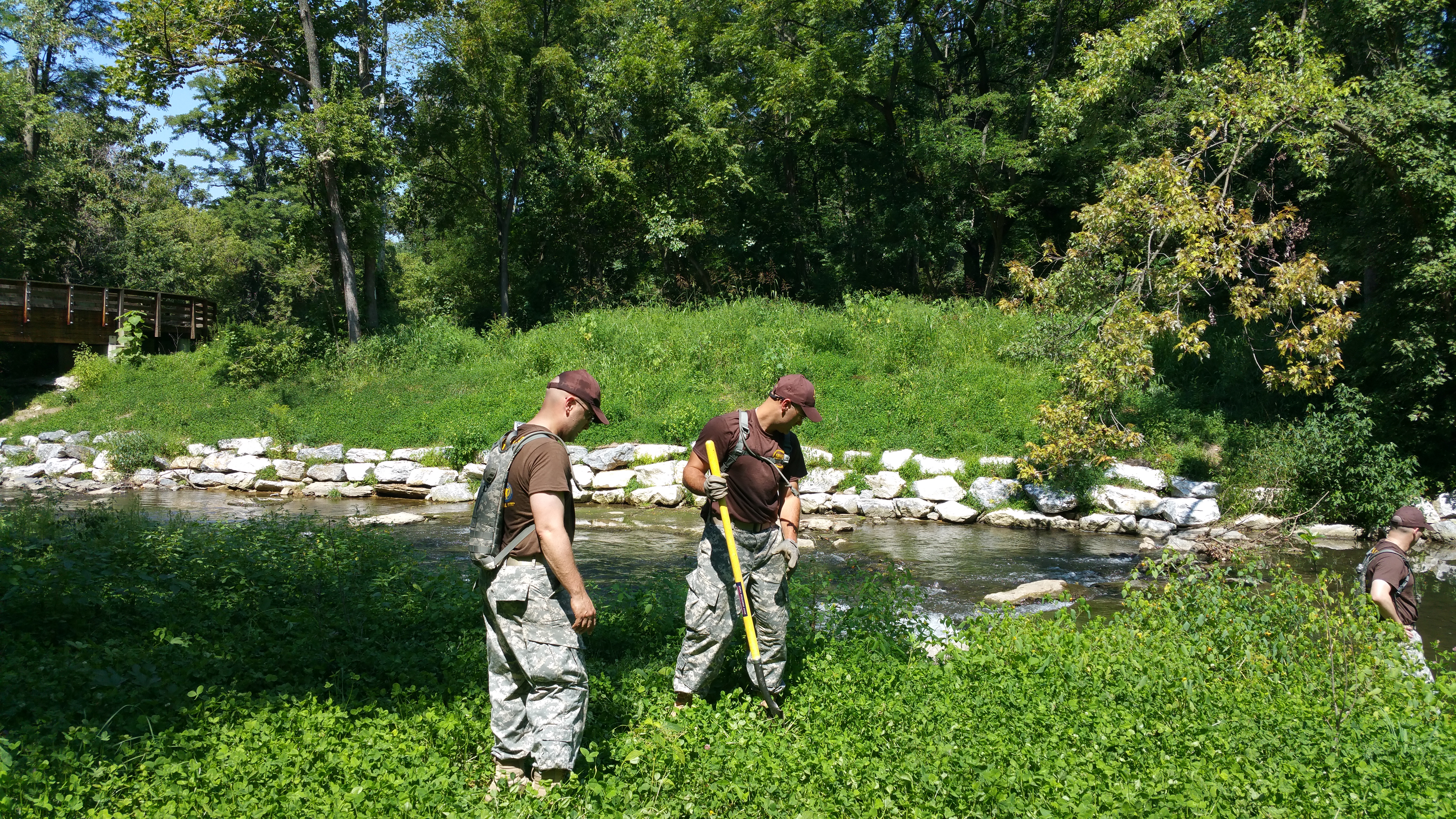
Weeks 53-85: October 2015—June 2016: A Long Lull & Streambank Recovery
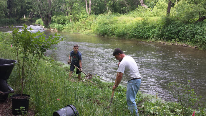
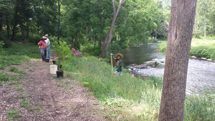
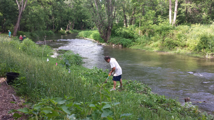
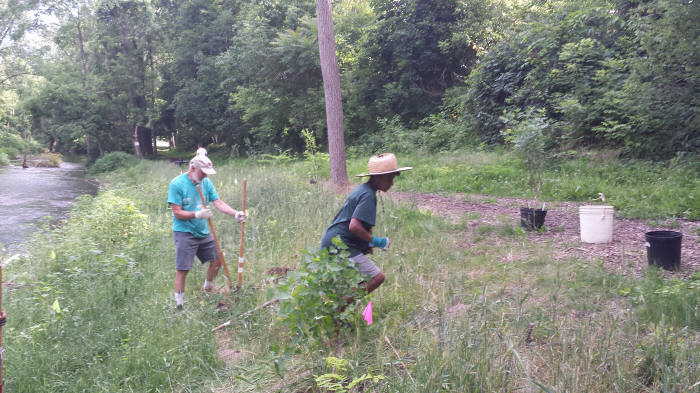
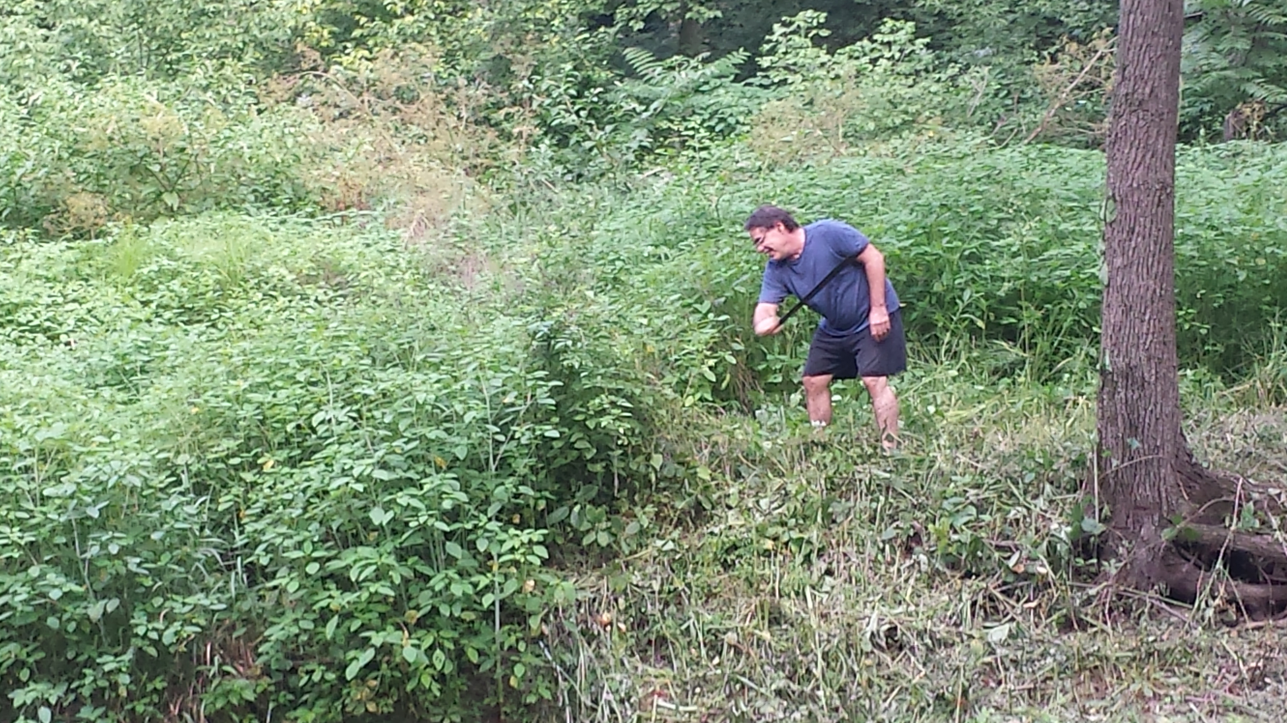
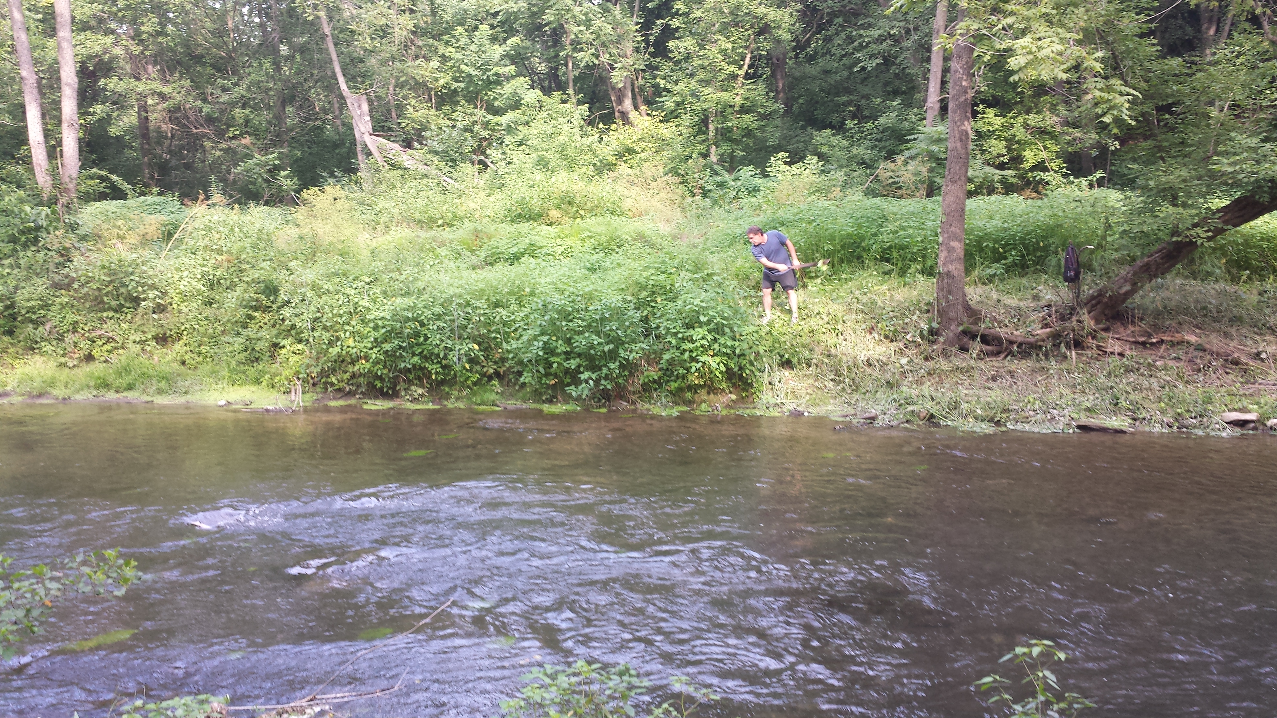
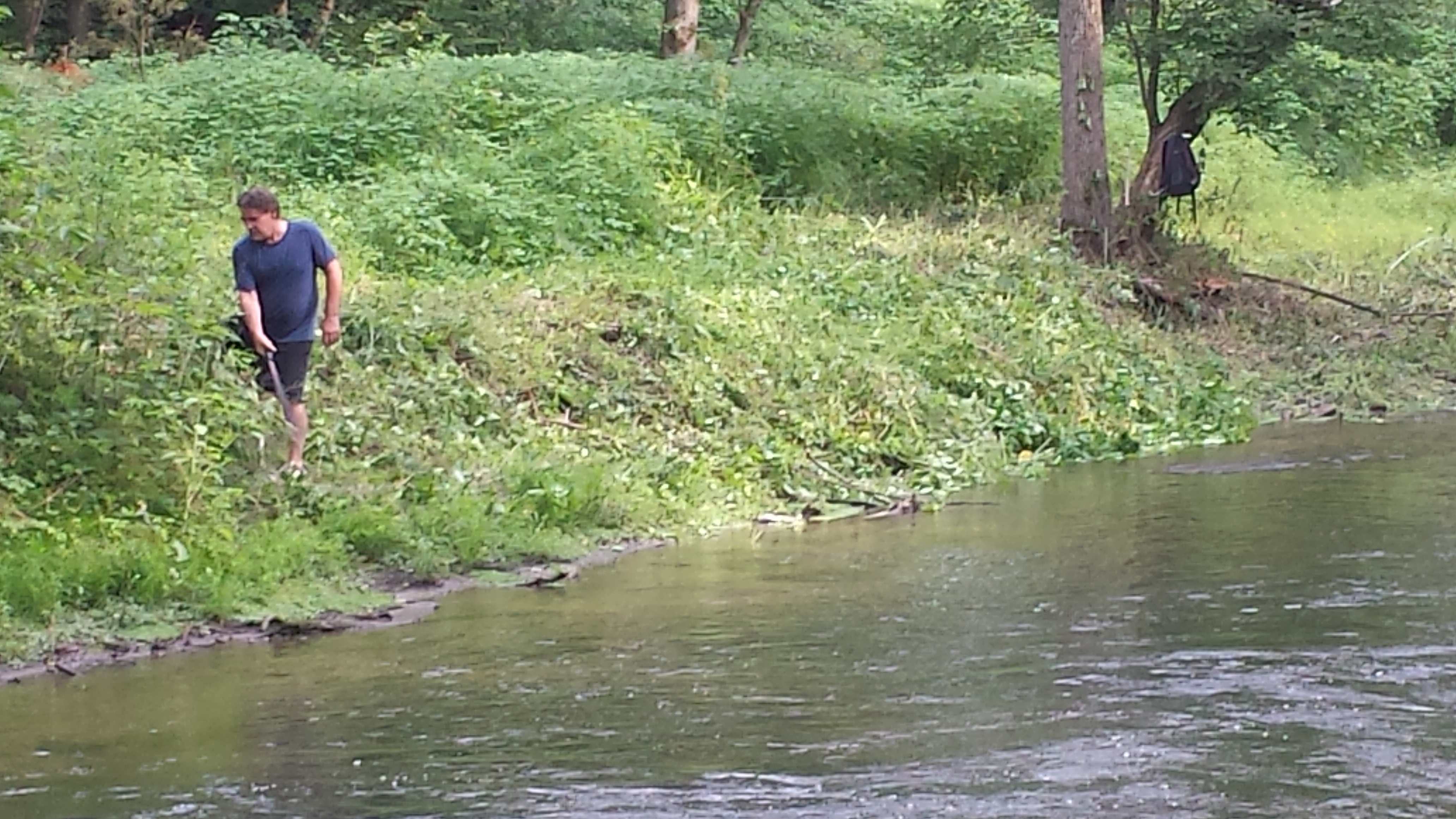
The project area was not disturbed during this long, 8-month hiatus, with the exception of weed-clearing in spring & early summer 2016 by our intrepid machete-wielding co-president, who focused mainly on keeping the saplings on the restored areas of the north bank from being choked out by fast-growing invasive and native weeds.
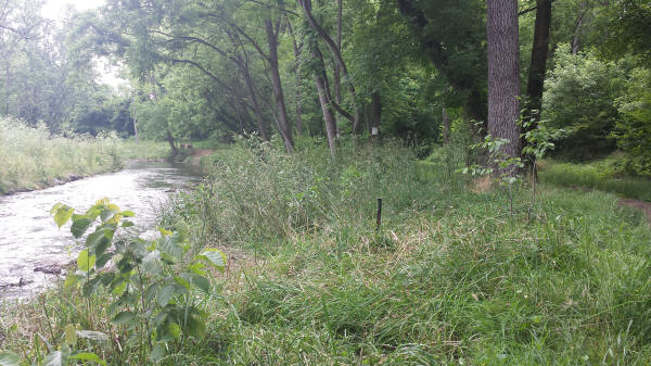
Above: weeds along the restored north bank in the process of being chopped down to size.
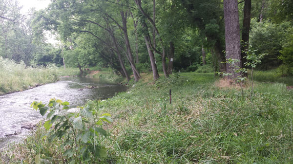
Above: weeds in the same area successfully held in check, for now, giving the waterberry & chokeberry saplings a chance to grow.
The only other development of note during this long lull was the completion of a macroinvertebrate study undertaken by students working under the direction of Lebanon Valley College Associate Professor of History Rebecca A. Urban -- part of the "in-kind" match that made the Growing Greener grants possible. This 16-page study of May 2016, titled "Benthic Macroinvertebrates Used as a Biomonitoring Tool to Assess Quittapahilla Creek Water Quality," is housed on the "Studies & Documents" page of this website, and accessible directly in a PDF file by clicking the link above.
And thus ends Page 3 of this photoblog documenting the Quittie Creek Streambank Restoration Project. To continue to Page 4 and Phase 2, click on the link below:
Continue to Week 86 & After (Restoration Project, Page 4).